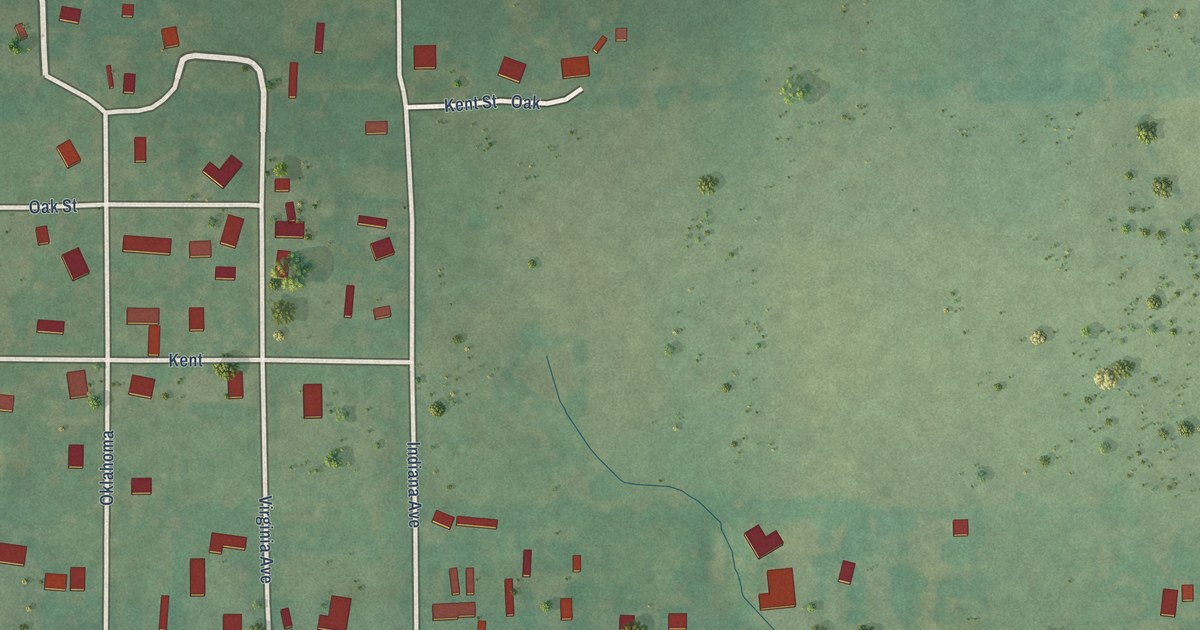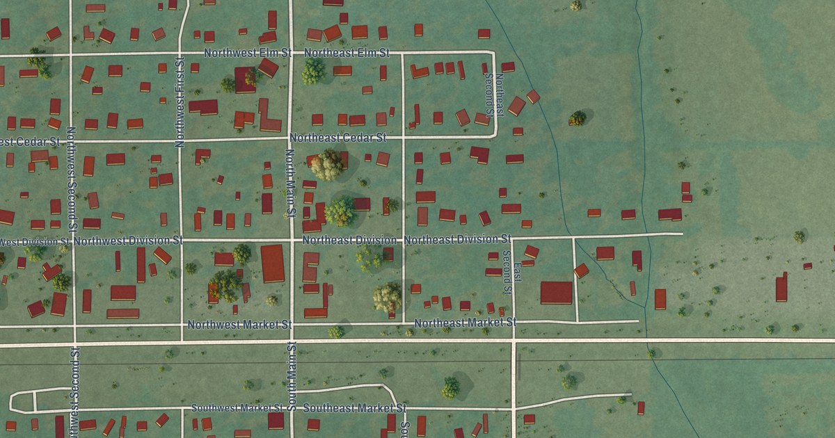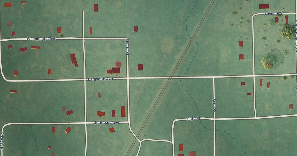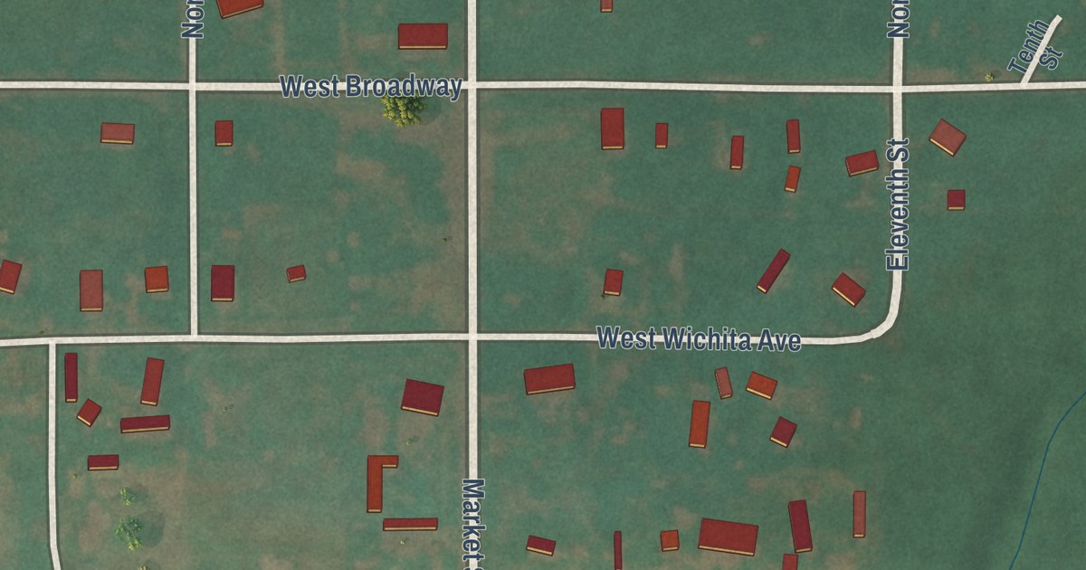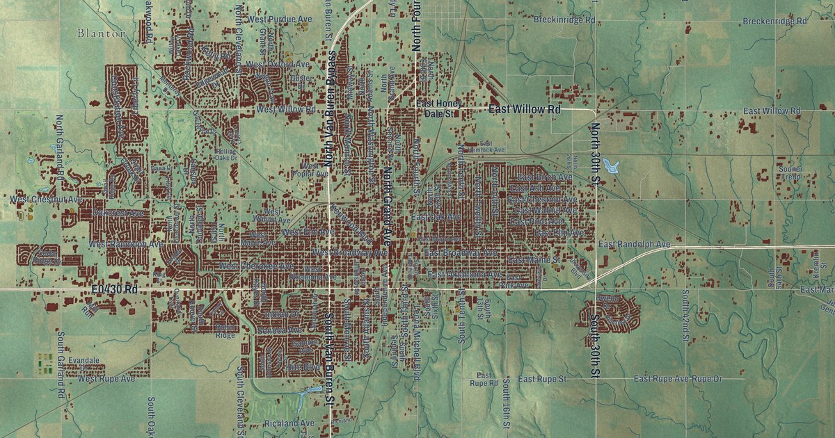
This beautifully detailed map of Enid, Oklahoma was created in 2026 using aerial imagery combined with modern topographical, census, street and landmark data. It’s a one-of-a-kind view of Enid that combines accurate data with a vintage aesthetic. The map shows every building in its true location, many of the roads carry their names, and the shaded topographic relief shows the shape of the land.
Explore an aerial view of Enid, Oklahoma
On the map you’ll find Shea, Blanton, and Imo, along with East Willow Road, North Fourth Street, North Grand Avenue, E0430 Road, North Van Buren Bypass, South 30th Street, South Van Buren Street, North 30th Street, West Carrier Road, and more. If you look closely you can even find your house accurately drawn in its correct location. Zoom in on the preview to look for yours.
Did you know this piece of Enid, Oklahoma history?
From Okhistory.org: "Enid was the name first given to the Chicago, Rock Island and Pacific Railway's (CRI&P) station, located three miles north of the present town of Enid."
Enid is a city in Garfield County.
Take a closer look at the Enid map
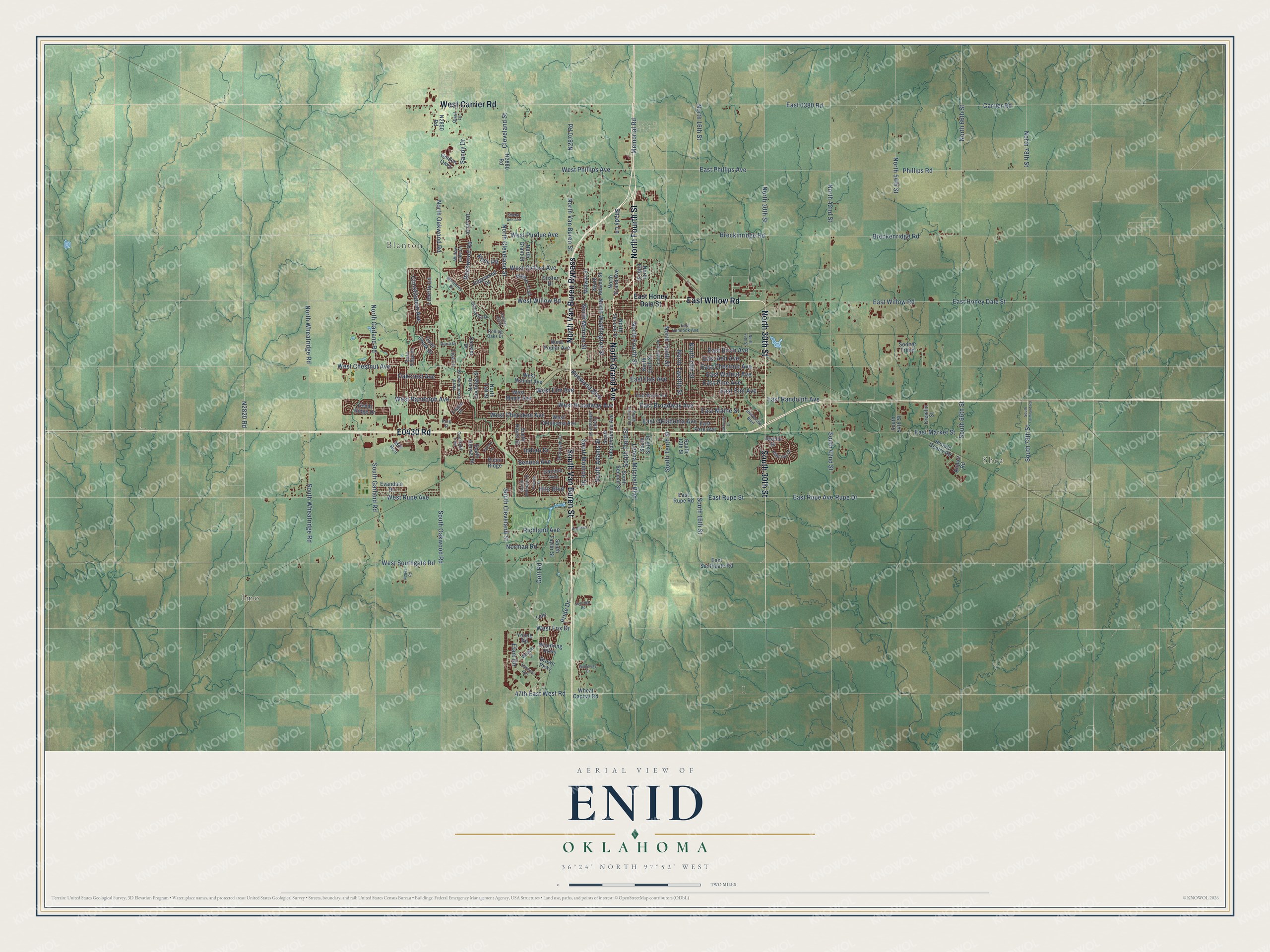
Street and place names on the Enid, Oklahoma map
These names are printed on the map of Enid, Oklahoma.
Places: Shea, Blanton and Imo.
Streets and roads: East Willow Road, North Fourth Street, North Grand Avenue, North Van Buren Bypass, South 30th Street, South Van Buren Street, North 30th Street, West Carrier Road, West Willow Road, Phillips Road, West Phillips Avenue, East Phillips Avenue.
More street names, A to Z
47th East West Road, Airport Road, Breckenridge Road, Breckinridge Road, Brown Parkway, Canary Lane, Cansler Drive, Carrier Road, Cedar Ridge Drive, Cleveland Street, Cogdal Drive, Constitution Avenue, Custer Drive, Dana Drive, Dwelle Drive, East 0380 Road, East Ash Avenue, East Birch Avenue, East Broadway Avenue, East Chestnut Avenue, East Elm Avenue, East Hemlock Avenue, East Honey Dale Street, East Maine Street, East Maple Avenue, East Market Street, East Oak Avenue, East Oklahoma Avenue, East Park Avenue, East Pine Avenue, East Randolph Avenue, East Rupe Avenue, East Rupe Road, East Rupe Street, East Southgate Road, East Walnut Avenue, Edgewood Drive, Elam Road, Evandale Drive, Gannon Avenue, Golden Oaks, Gott Road, Hancock Avenue, Hillcrest Drive, Hite Boulevard, Hunters Hill Drive, Indian Drive, Jerauld Gentry Road, Kelly Road, Kenwood Boulevard, King Street, Kremlin Street, Lakeview Drive, Lehr, Leona Mitchell Boulevard, Liberty Lane, Lisa Lane, Memorial Road, Midway Street, Mill Run, Monterey Drive, Norman Road, North 14th Street, North 16th Street, North 26th Street, North 42nd Street, North 54th Street, North 66th Street, North 78th Street, North Adams Street, North Cleveland Street, North Coolidge Street, North Eighth Street, North Eisenhower Street, North Fifth Street, North Garland Road, North Grant Street, North Monroe Street, North Oakwood Road, North Second Street, North Sixth Street, North Taft Street, North Tenth Street, North Twelfth Street, North Van Buren Street, North Washington Street, North Wheatridge Road, Oakcrest Avenue, Overland Trail, Pawnee Street, Pride Drive, Quail Creek Drive, Quail Lane, Quail Ridge Road, Quailwood Drive, Richland, Richland Avenue, Ridgeway Drive, Robin Ridge, Rockwood Road, Rolling Oaks Drive, Rupe Drive, Sandy Drive, Seneca Avenue, Sequoyah Drive, Shady Lane, Sheryl Ann Avenue, Sooner Trend, South 13th Street, South 16th Street, South 42nd Street, South 54th Street, South 66th Street, South 78th Street, South Adams Street, South Cleveland Street, South Farmland Road, South Fourth Street, South Garland Road, South Hayes Street, South Hoover Street, South Independence Avenue, South Jefferson Street, South Johnson Street, South Monroe Street, South Oakwood Road, South Second Street, South Sixth Street, South Taylor Street, South Tenth Street, South Third Street, South Wheatridge Road, Sunridge Road, University Boulevard, Unruh Drive, Wagon Trail, Weaver Street, West Broadway Avenue, West Cherokee Avenue, West Chestnut Avenue, West Elm Avenue, West Fox Drive, West Maple Avenue, West Oklahoma Avenue, West Oxford Avenue, West Poplar Avenue, West Purdue Avenue, West Randolph Avenue, West Rupe Avenue, West Southgate Road, West Walnut Avenue, Wheat Capital Road, Willow Lake Lane, Woodring Parkway, Young Road.
See the Enid, Oklahoma map on a wall
The Enid map as an 18 x 24 inch print in a black frame.

This beautifully detailed map of Enid makes an attractive addition to your office, library, or den, and it can even be used to teach children the geography and history of the area. It also makes a great gift for anyone with Enid roots. When you’re done exploring, click here to get your copy of the Enid map.