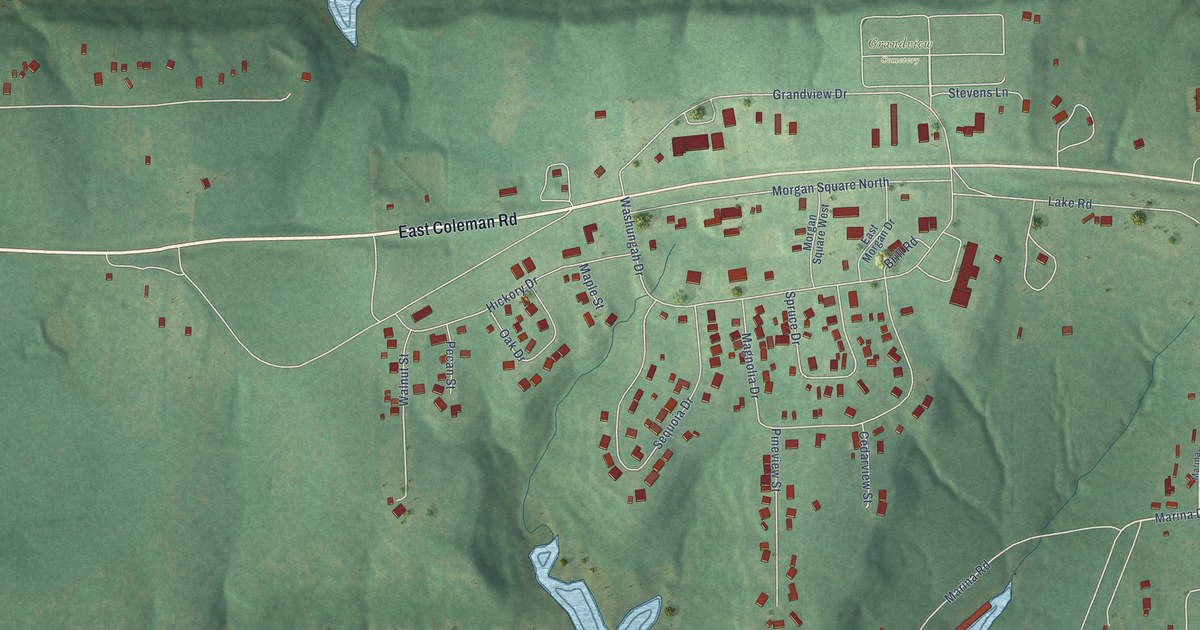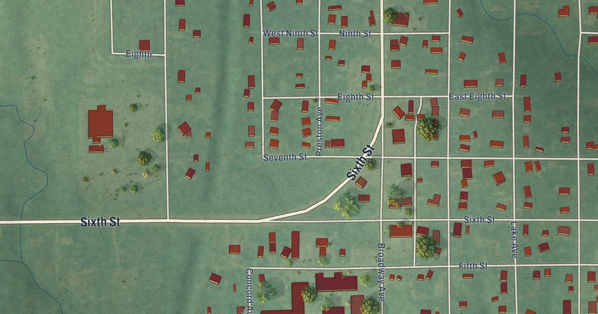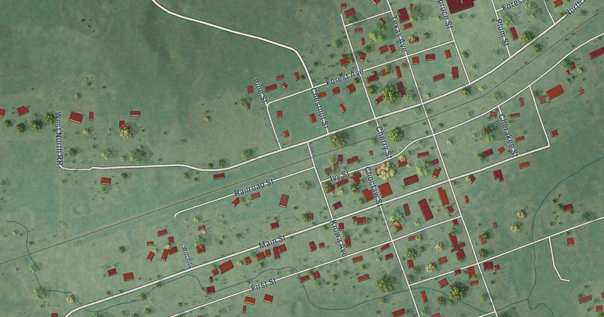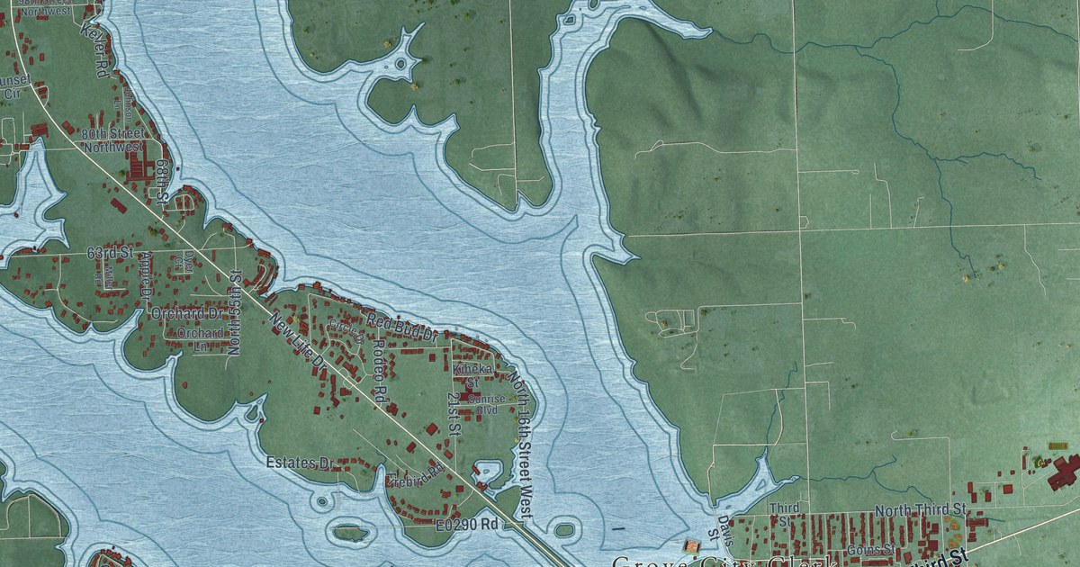
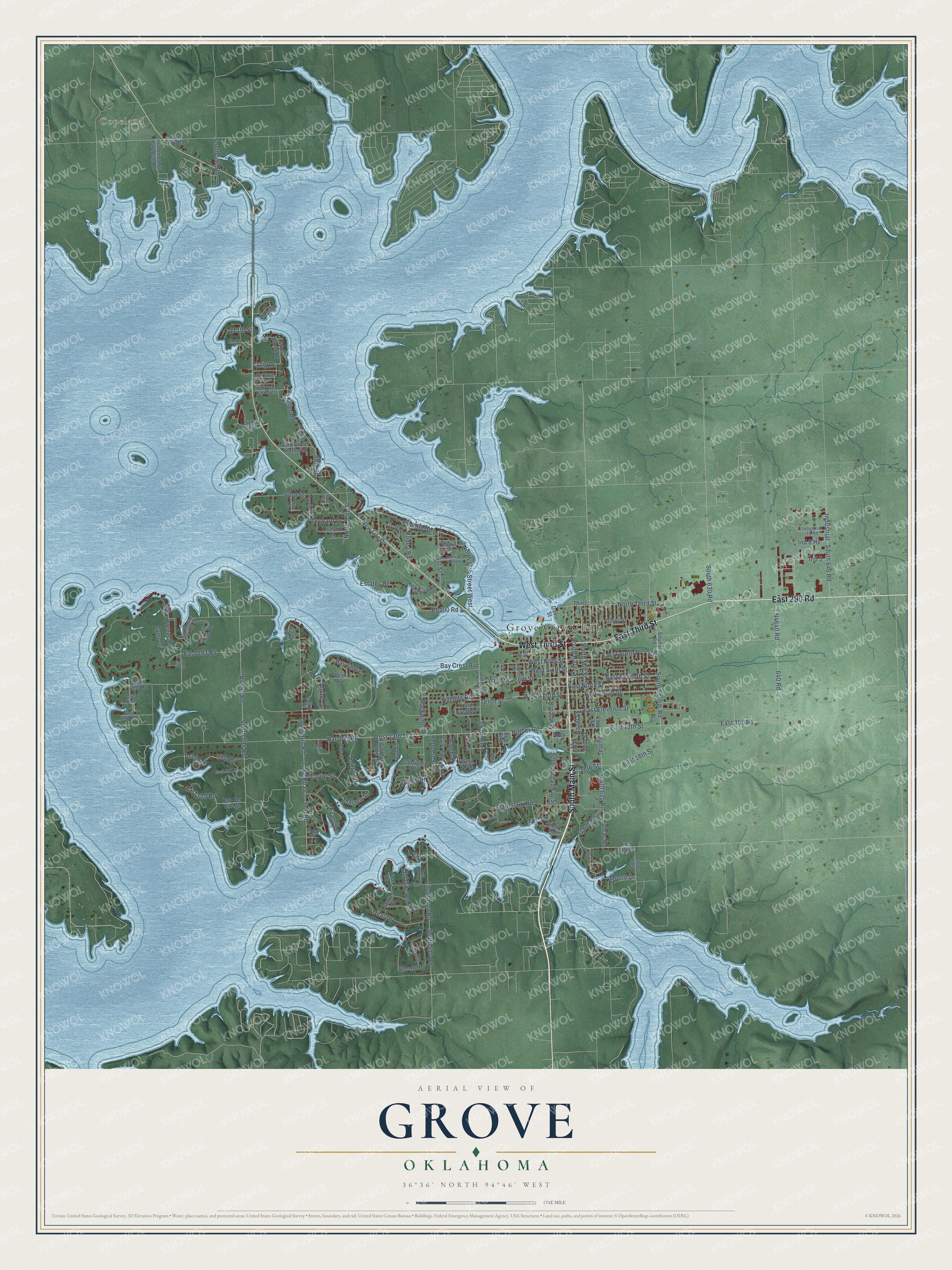
This beautifully detailed map of Grove, Oklahoma was created in 2026 using aerial imagery combined with modern topographical, census, street and landmark data. It's a modern aerial view of Grove in Delaware County, Oklahoma, that combines modern data with a vintage aesthetic. The roads feature printed names, and if you look closely you can find your exact house accurately shown in its correct location.
Explore an aerial view of Grove, Oklahoma
On this map you'll find Grove City Clerk, Copeland, South Main Street, East 290 Road, West Third Street, East Third Street, Lake Breeze Road, East Fourth Place, Har-Ber Road, West 13th Street, Hazel Street, South Shundi Road, and more. Each red shape is a building, so zoom in on the preview and look for yours.
Grove has a story worth telling. The record at okhistory.org puts it this way: "They forced the issue on a county-wide ballot, and in December 1908 voters named Jay the county seat."
Grove is a city in Delaware County.
Take a closer look at the Grove map
Names on this map
These names are printed on this map.
Places: Grove City Clerk and Copeland.
Streets and roads: South Main Street, East 290 Road, West Third Street, East Third Street, Lake Breeze Road, East Fourth Place, Har-Ber Road, West 13th Street, Hazel Street, South Shundi Road, Harber Road, Red Bud Drive.
More street names, A to Z
4 Th, 10 Th Street, 18th Street, 21st Street, 63rd Street, 68th Street, 80th Street Northwest, 98th Street Northwest, 102nd Street Northwest, 113th Street, 585 Trail, 590 Road, 600 Road, 640 Road, Abby Lane, Acorn Street, Alpine Drive, Anchor Road, Apple Drive, Ashley Drive, Ash Street, Ballerina Drive, Bay Crest Avenue, Bay Shore, Broadway, Buffalo Drive, Callie Drive, Cardiac Cove Road, Carey Drive, Charles Street, Circle Drive, Craig Drive, Davis Street, Dilar Drive, Ditmore Drive, Dubois, Dyer Court, East 13th Street, East 18th Street, East 250 Road, East 293 Road, East 295 Road, East 297 Road, East 300 Road, East 301 Place, East 305 Road, East 310 Road, East Eleventh Street, East Ninth Street, East Seventh Street, East Tenth Street, Easy Street, Elk Street, Estates Drive, Evans Drive, Firebird Road, Fisherman's Paradise Road, Gaslight Drive, Gault Road, Goins Street, Golf Street, Har-Ber Village, Harber Loop Drive, Hebbert Street, Hillside Road, Ind 5, Ind 8 Hv, Industrial, Industrial 10 Road, Ingram Drive, Inwood Drive, Johnson Lane, Joplin Street, Kayla Street, Keller Road, Kiheka Street, Lake Road 1, Lake Road Number 1, Leisure Road, Lighthouse Springs Drive, Longs Drive, Lost Cove Road, Lynn Drive, Maple Street, Marina Boulevard, Marina Drive, Miller Road, Mill Street, Moore Drive, New Life Drive, North 16th Street West, North 55th Street, North Sycamore, North Third Street, Old Dike Road, Orchard Drive, Orchard Lane, Park Place, Peak Avenue, Pine, Pine Drive, Quail Run Road, Red Bird, Rock Drive, Rockwood Drive, Rodeo Road, Scenic Drive, Shasten Street, Shore Drive, Shundi Road, Smitty's Drive, South 590, South 590 Road, South 595 Road, South 610 Road, South 625 Road, South 630 Road, South 640 Road, South Broadway Street, South Hazel Street, South Mill Street, State Park Road, Sumac, Sumac Road, Sunrise Boulevard, Sunset Circle, Taylor Street, Tenth Street, Third Street, Thompson Road, Twin Cove Lane, Vale Drive, West 17th, West Fifth Street, West Seventh Street, West Sixth Street, West Tenth Street, Wolf Creek Drive.
Created by KNOWOL in 2026. The buildings are small red shapes, the roads carry their printed names, and shaded relief shows the shape of the land. The title panel reads "AERIAL VIEW OF GROVE OKLAHOMA" with 36°36' NORTH 94°46' WEST.
It looks right in a kitchen, an office or a den, and it's a gift for anyone who grew up in Grove or moved away. Open the preview and find your street. See sizes and frames for the Grove map.