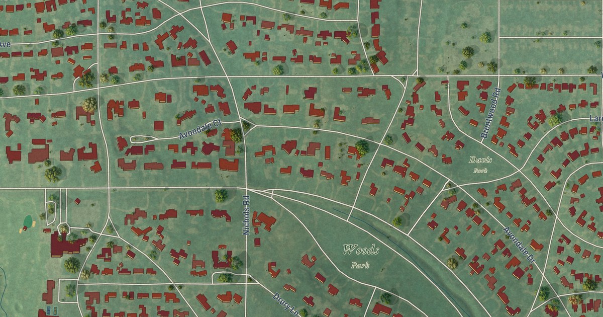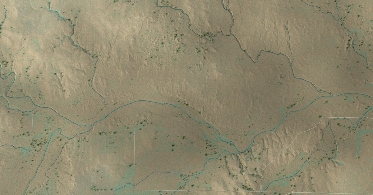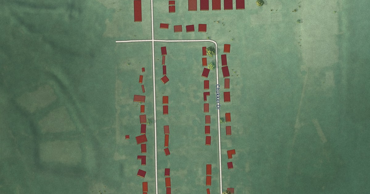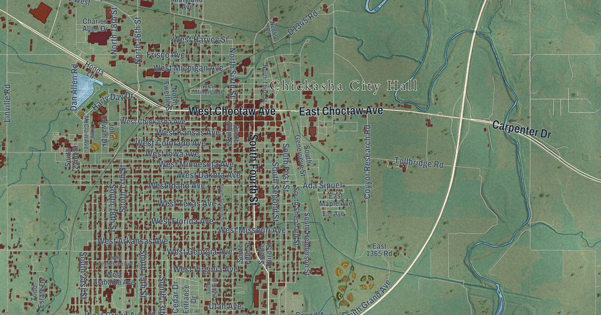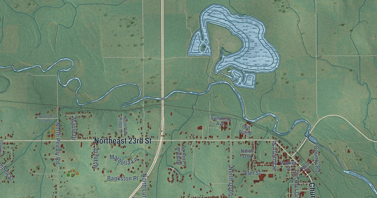
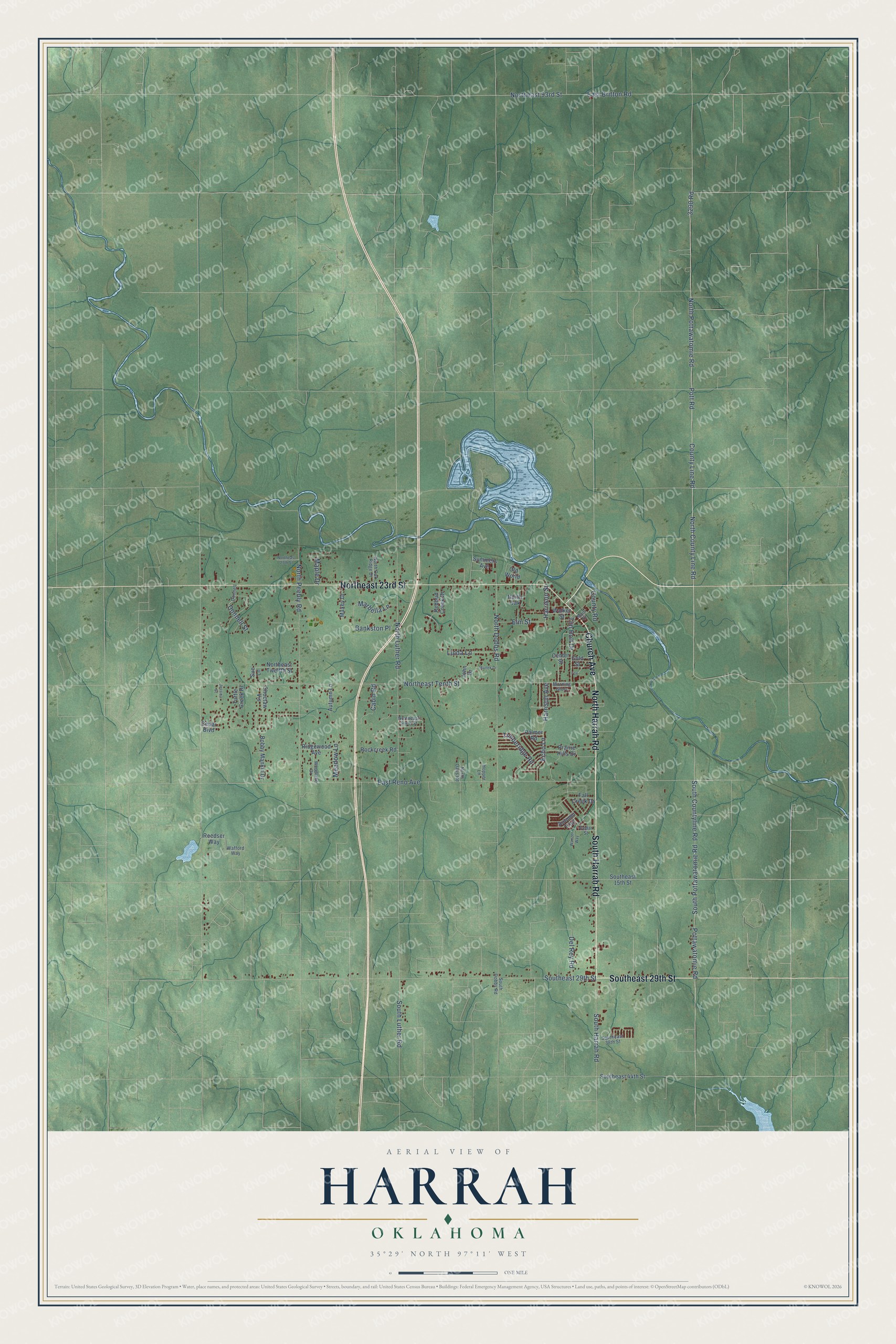
This beautifully detailed map of Harrah, Oklahoma was created in 2026 using aerial imagery combined with modern topographical, census, street and landmark data. It's a modern aerial view of Harrah in Oklahoma County, Oklahoma, that combines modern data with a vintage aesthetic. The roads feature printed names, and if you look closely you can find your exact house accurately shown in its correct location.
Explore an aerial view of Harrah, Oklahoma
On this map you'll find Northeast 23rd Street, South Harrah Road, Southeast 29th Street, North Harrah Road, Church Avenue, County Line Road, North County Line Road, Harrison Avenue, Harrison Street, North Pottawatomie Road, East Reno Avenue, Pott Road, and more. Each red shape is a building, so zoom in on the preview and look for yours.
Here is a piece of Harrah history, in the words of the record. The record at okhistory.org puts it this way: "In 1891 E. W. Sweeney operated first a ferry and then a bridge there that greatly facilitated travel and commerce."
Harrah is a city in Oklahoma County.
Take a closer look at the Harrah map
Names on this map
These names are printed on this map.
Streets and roads: Northeast 23rd Street, South Harrah Road, Southeast 29th Street, North Harrah Road, Church Avenue, County Line Road, North County Line Road, Harrison Avenue, Harrison Street, North Pottawatomie Road, East Reno Avenue, Pott Road.
More street names, A to Z
3290 Road, Autumn Lane, Autumn Trail, Bankston Place, Bobby Mankin Drive, Cabin Road, Cedar Boulevard, Cedar Street, Center Street, Choctaw Vis, County Road, Del Rey Road, Donnell, Donnell Street, East Britton Road, Echo Lane, Elm Street, Fall Creek Drive, Fox, Gold Street, Hopper Lane, Jessica Street, John Drive, Linda Lane, Main Street, Manek Drive, Maple Drive, Marbella Lane, Maxey Drive, Meadow Lane, Morning Glory, North Dobbs Road, Northeast 27th Street, Northeast 93rd Street, Northeast Sixth Street, Northeast Tenth Street, Northeast Twelfth Street, North Luther Road, North Oak, North Oak Ridge Drive, North Oaks Road, North Peebly Road, Old World, Palmer Road, Pottawatomie Road, Prairie Hills Drive, Redbud Creek Drive, Reedser Way, Ridgewood Avenue, Rockcreek Road, South Countyline Road, South Dobbs Road, Southeast 15th Street, Southeast 38th Street, Southeast 44th Street, South Luther Road, South Pottawatomie Road, Sue Lane, Summers Avenue, Timberidge Road, Tim Holt Drive, Turtle Creek Drive, Wafford Way, Walker Street, Wanzer Way, Woodlake Drive.
Created by KNOWOL in 2026. The buildings are small red shapes, the roads carry their printed names, and shaded relief shows the shape of the land. The title panel reads "AERIAL VIEW OF HARRAH OKLAHOMA" with 35°29' NORTH 97°11' WEST.
It suits a den, a classroom or a front hall, and it makes a gift for anyone with Harrah roots. Open the preview and find the block you know. See sizes and frames for the Harrah map.