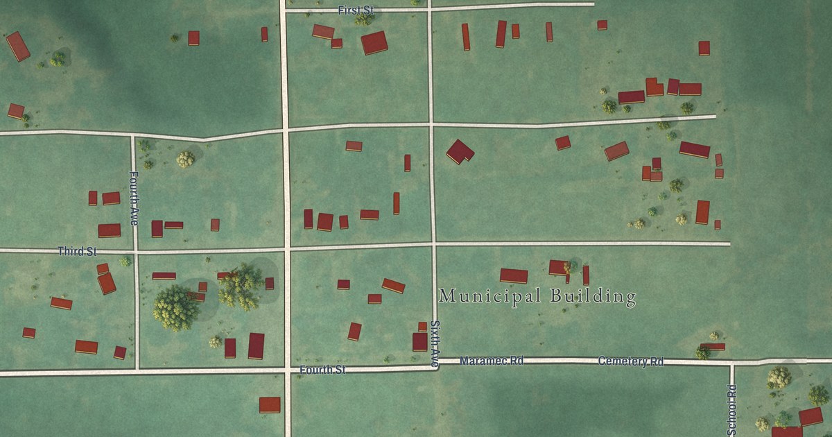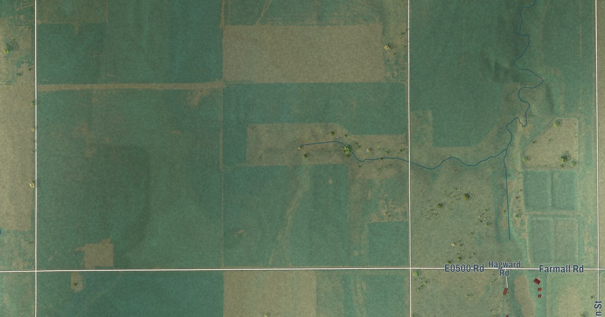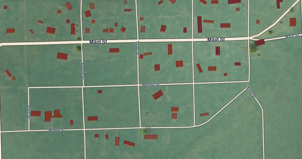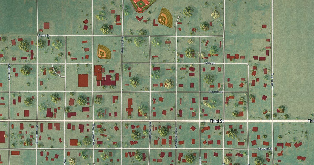
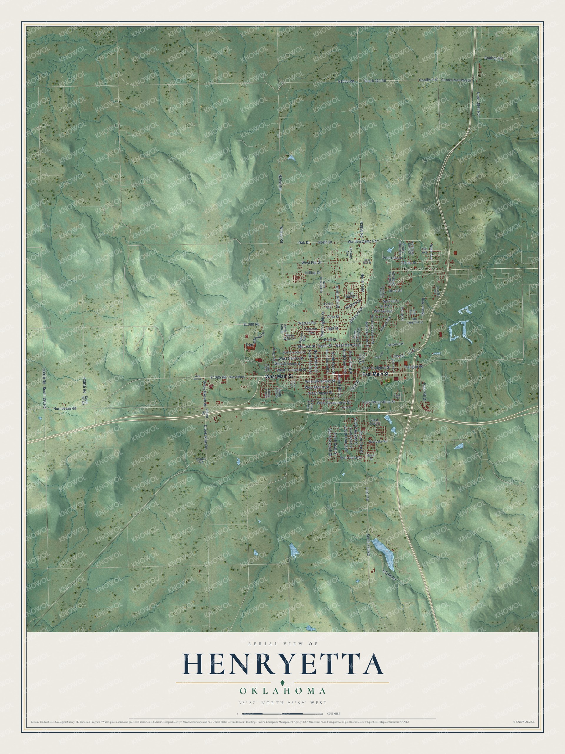
This beautifully detailed map of Henryetta, Oklahoma was created in 2026 using aerial imagery combined with modern topographical, census, street and landmark data. It's a modern aerial view of Henryetta in Okmulgee County, Oklahoma, that combines modern data with a vintage aesthetic. The roads feature printed names, and if you look closely you can find your exact house accurately shown in its correct location.
Explore an aerial view of Henryetta, Oklahoma
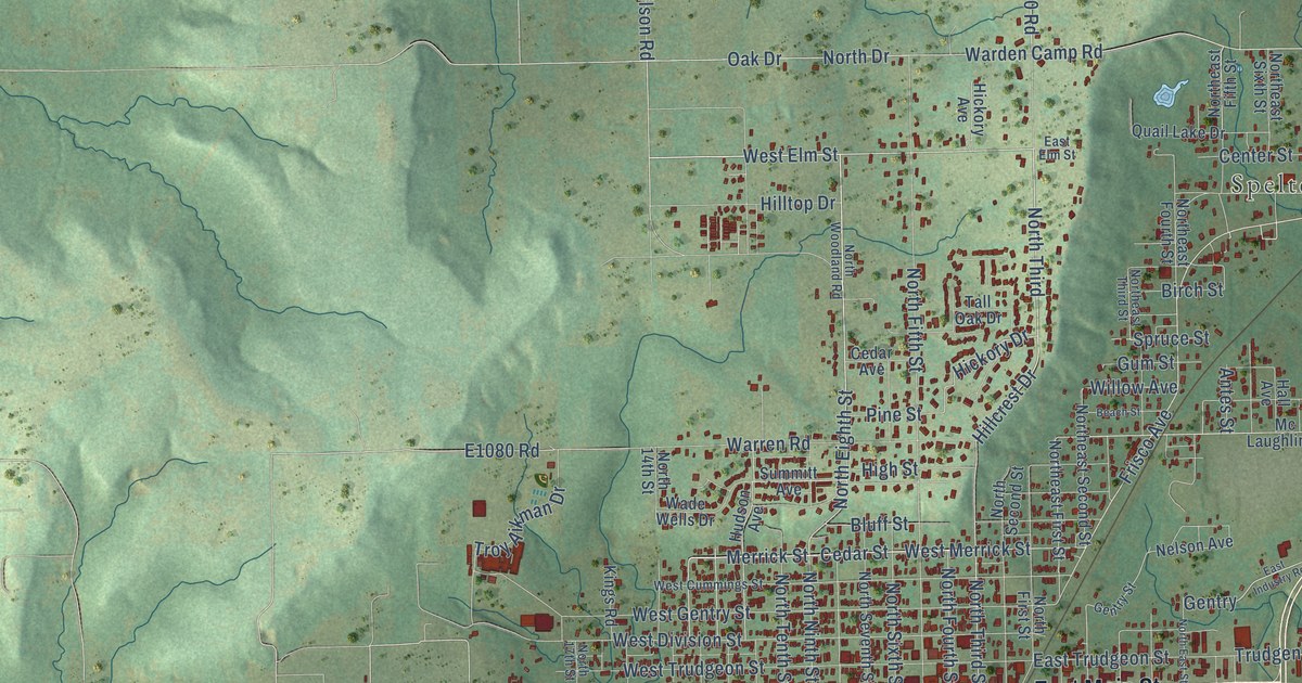
On this map you'll find Spelter City, West Main Street, East Main Street, North Eighth Street, West Elm Street, North Third, Merrick Street, West Merrick Street, Cedar Street, North Third Street, Frisco Avenue, E1085 Road, and more. Each red shape is a building, so zoom in on the preview and look for yours.
Here is a piece of Henryetta history, in the words of the record. The record at okhistory.org puts it this way: "The existence of coal deposits eventually brought the St. Louis and San Francisco Railway, the Kansas, Oklahoma and Gulf Railroad, and the Okmulgee Northern Railway to open several active mines."
Henryetta is a city in Okmulgee County.
Take a closer look at the Henryetta map
Names on this map
These names are printed on this map.
Places: Spelter City.
Streets and roads: West Main Street, East Main Street, North Eighth Street, West Elm Street, North Third, Merrick Street, West Merrick Street, Cedar Street, North Third Street, Frisco Avenue, Hickory Drive, Third Street.
More street names, A to Z
Antes Street, Beach Street, Birch Street, Bluff Street, Bryant Road, Cedar Avenue, Center Street, Clark Street, Coalton Road, Conifer Road, Conifer Road Wilson, Creek Mine Road, Dewar Avenue, Dewey Bartlett Road, East Corporation Street, East Elm Street, East Hill Drive, East Industry Road, East Scott Street, East Trudgeon Street, Gentry, Gentry Street, Gum Street, Hall Avenue, Hickory Avenue, High Street, Hillcrest Drive, Hilltop Drive, Hornbeam Road, Hudson Avenue, Kings Road, Lake Road, Mc Laughlin Street, Miami Street, Nelson Avenue, New Lake Road, North 14th Street, North 17th Street, North 3965 Road, North Drive, Northeast Fifth Street, Northeast First Street, Northeast Fourth Street, Northeast Second Street, Northeast Sixth Street, North East Street, Northeast Third Street, North Fifth Street, North First Street, North Fourth Street, North Ninth Street, North Second Street, North Seventh Street, North Sixth Street, North Tenth Street, North Woodland Road, Oak Drive, Pine Street, Quail Lake Drive, Richhill Avenue, South 13th Street, South 15th Street, South 17th Street, South 180 Road, South 185 Road, South 220 Road, South 221 Road, South Fifth Street, South First Street, South Fourth Street, South Second Street, South Seventh Street, South Sixth Street, South Tenth Street, South Third Street, Spruce Street, State Street, Summitt Avenue, Tall Oak Drive, Troy Aikman Drive, Trudgen Road, Tutt Avenue, Wade Wells Drive, Warden Camp Road, Warren Road, West Broadway Street, West Corporation Street, West Cummings Street, West Division Street, West Gentry Street, West Louise Street, West Main, West Meacham Street, West Moore Street, West Ragan Street, West Trudgeon Street, Willow Avenue, Wilson Road, Wise Avenue.
Created by KNOWOL in 2026. The buildings are small red shapes, the roads carry their printed names, and shaded relief shows the shape of the land. The title panel reads "AERIAL VIEW OF HENRYETTA OKLAHOMA" with 35°27' NORTH 95°59' WEST.
It suits a den, a classroom or a front hall, and it makes a gift for anyone with Henryetta roots. Open the preview and find the block you know. See sizes and frames for the Henryetta map.