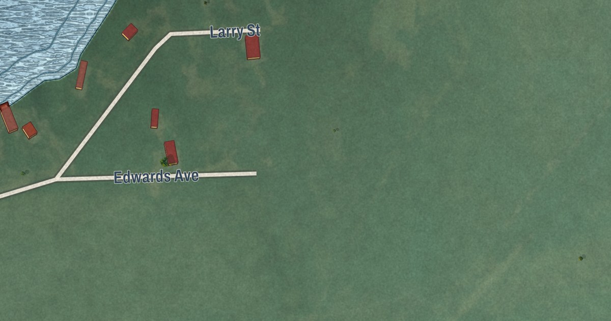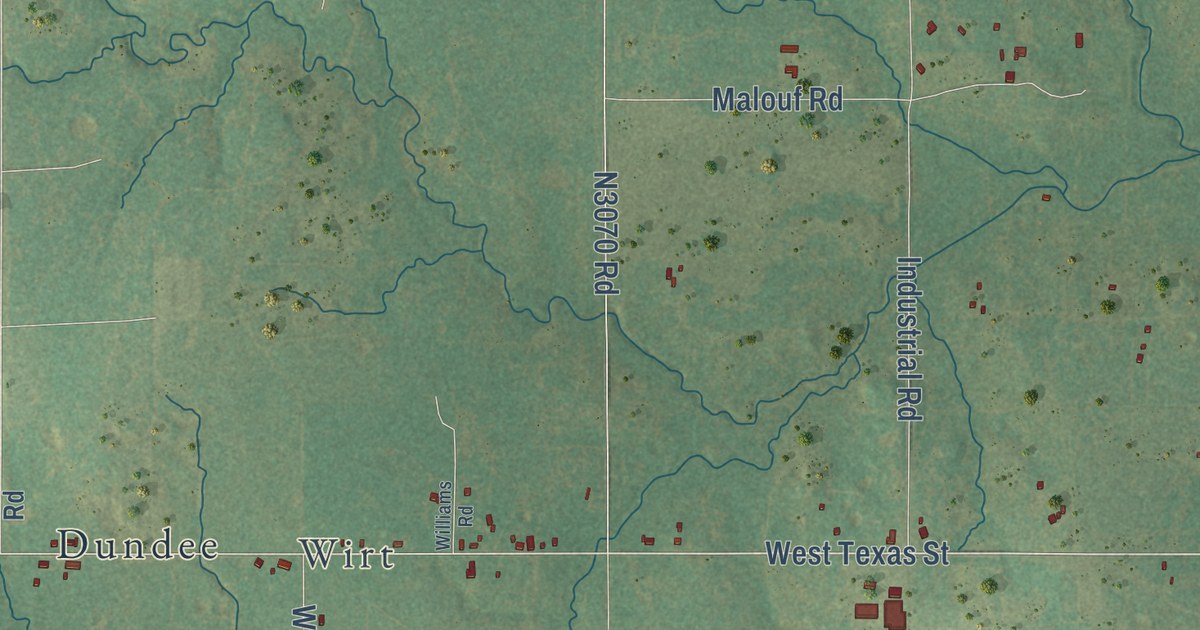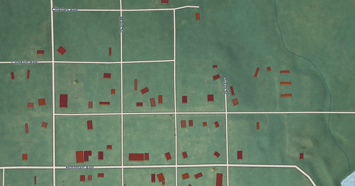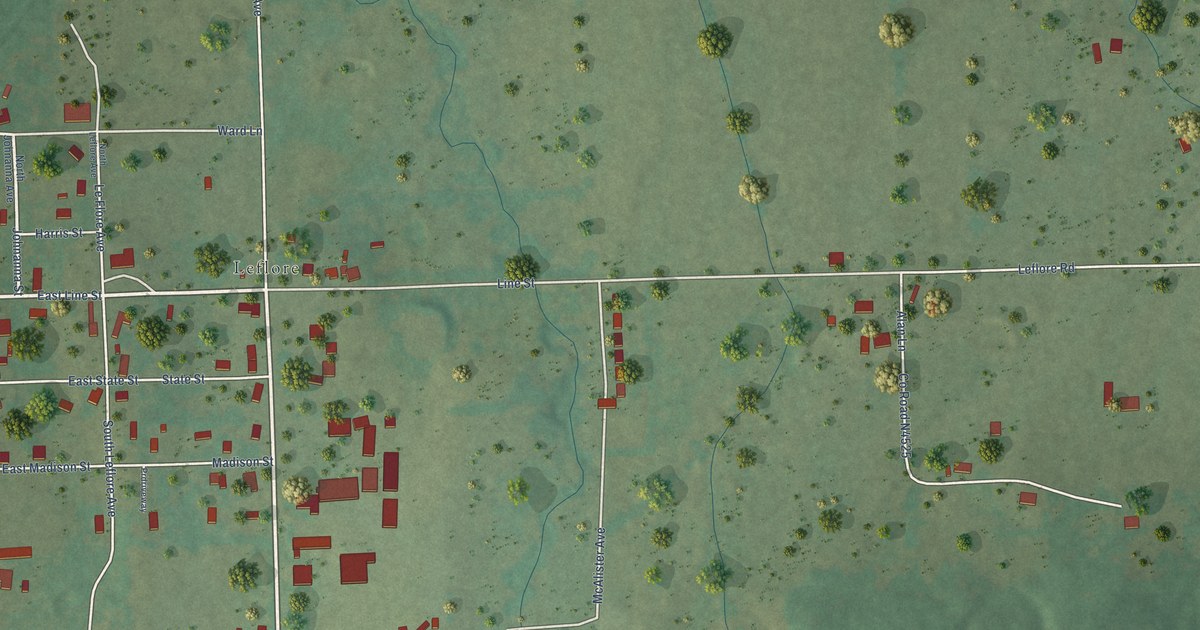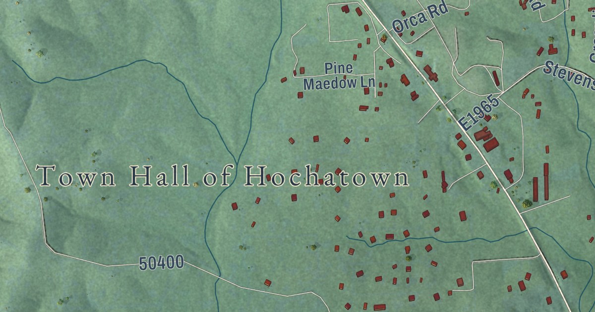
This beautifully detailed map of Hochatown, Oklahoma was created in 2026 using aerial imagery combined with modern topographical, census, street and landmark data. It’s a one-of-a-kind view of Hochatown that combines accurate data with a vintage aesthetic. The map shows every building in its true location, many of the roads carry their names, and the shaded topographic relief shows the shape of the land.
Explore an aerial view of Hochatown, Oklahoma
On the map you’ll find Town Hall of Hochatown, D1980, N4675, and E1965, along with Holly Street, Chinook Road, Camp Ranch Road, Old Hochatown Road, Long Pine Trail, Johnboat Lane, Stevens Road, Forest Brook Lane, and more. If you look closely you can even find your house accurately drawn in its correct location. Zoom in on the preview to look for yours.
Did you know this about Hochatown, Oklahoma?
From KSLA: "Hochatown residents said they have fought for this moment for the past few years. Commissioners gathered Monday, Nov. 28 at the McCurtain County Courthouse to officially incorporate."
Hochatown is a town in McCurtain County.
Take a closer look at the Hochatown map
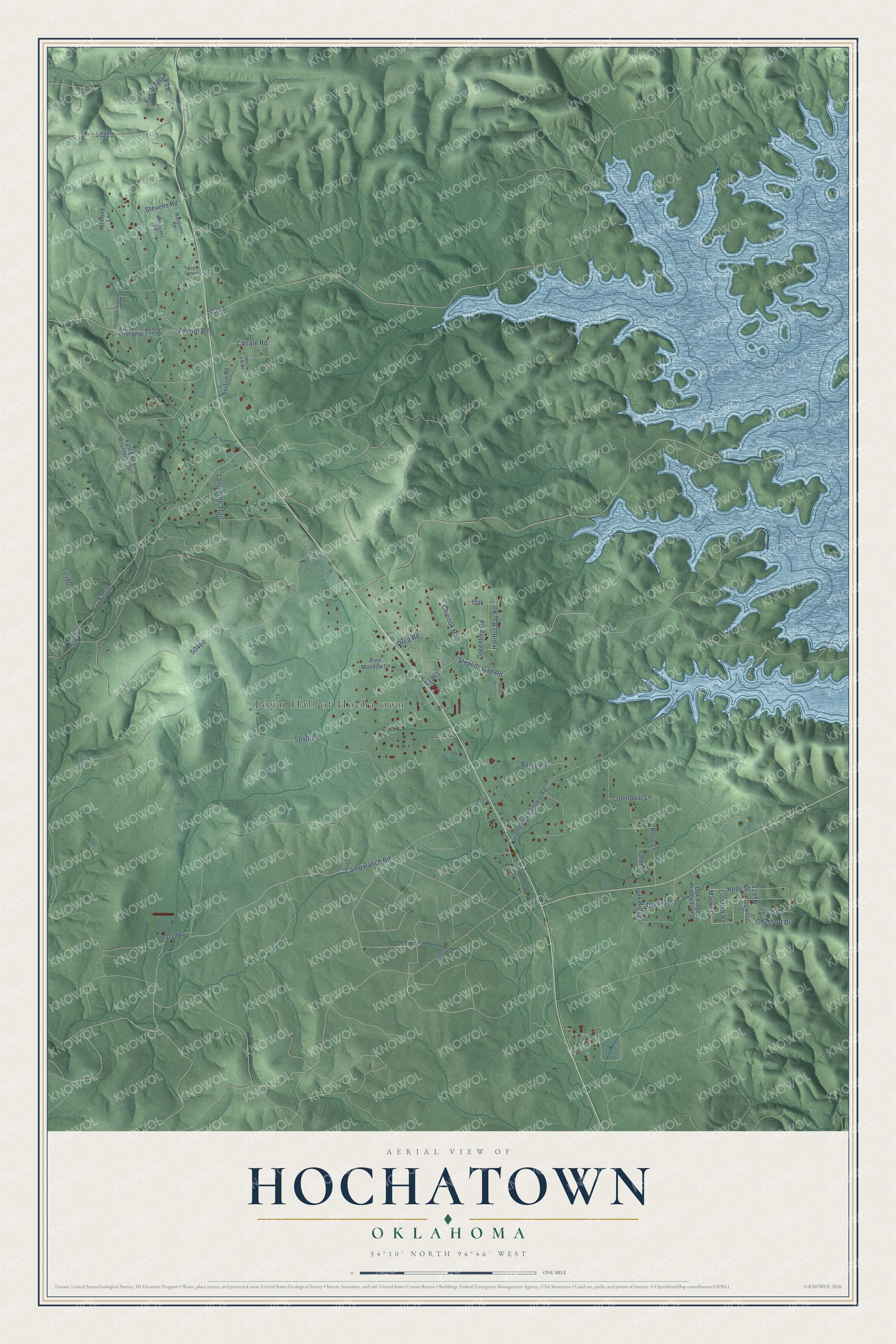
Street and place names on the Hochatown, Oklahoma map
These names are printed on the map of Hochatown, Oklahoma.
Places: Town Hall of Hochatown.
Streets and roads: Holly Street, Chinook Road, Camp Ranch Road, Old Hochatown Road, Long Pine Trail, Johnboat Lane, Stevens Road, Forest Brook Lane, Stevens Gap Road, Choate Road, Halibut Bay Road, Oak Ridge.
More street names, A to Z
Almond Lane, Banjo Lane, Cedar Creek Circle, Chestnut Drive, Dogwood Court, Dry Fly Road, East Eagle Mountain Trail, Greenling Road, Lacran Sorrels Road, Lionfish Road, Mahogany Road, Mangrove Road, Marlin Drive, Oak, Oak Ridge Private Living, Orca Road, Penner Road, Pinehurst Lane, Pine Maedow Lane, Red Fin Lane, Rose Lane, Sailfish Road, Spruce Street, Tahnee Lane, White Perch Lane.
See the Hochatown, Oklahoma map on a wall
The Hochatown map as an 18 x 24 inch print in a black frame.

This beautifully detailed map of Hochatown makes an attractive addition to your office, library, or den, and it can even be used to teach children the geography and history of the area. It also makes a great gift for anyone with Hochatown roots. When you’re done exploring, click here to get your copy of the Hochatown map.