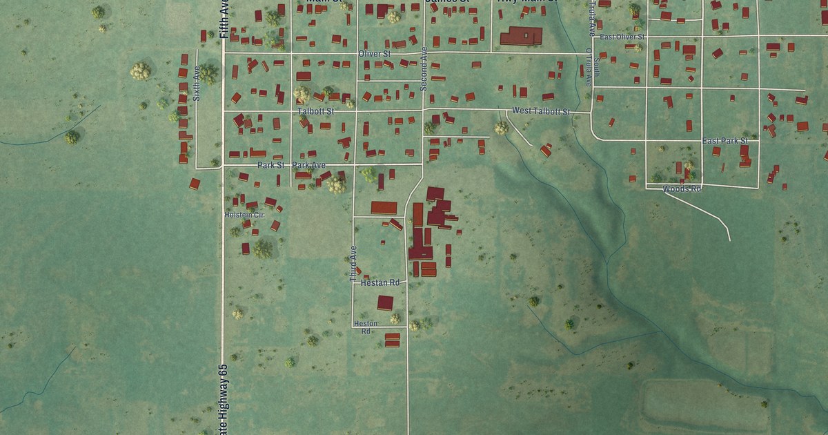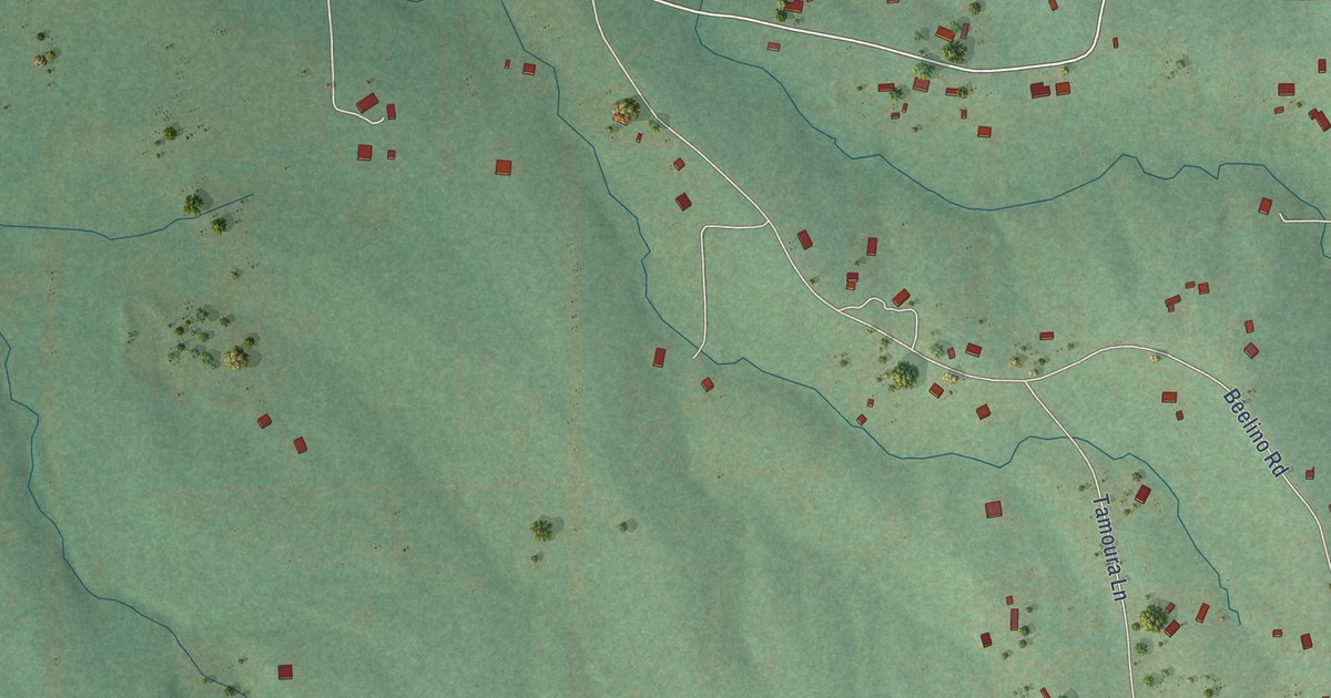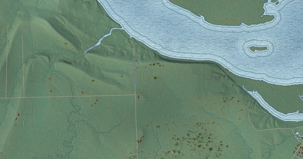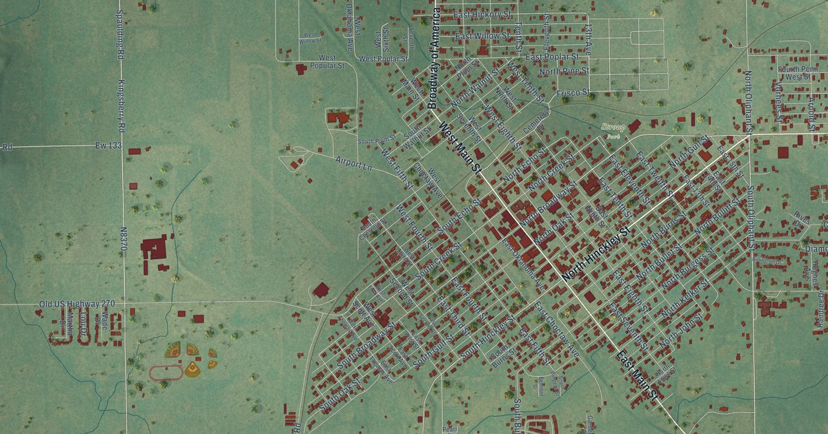
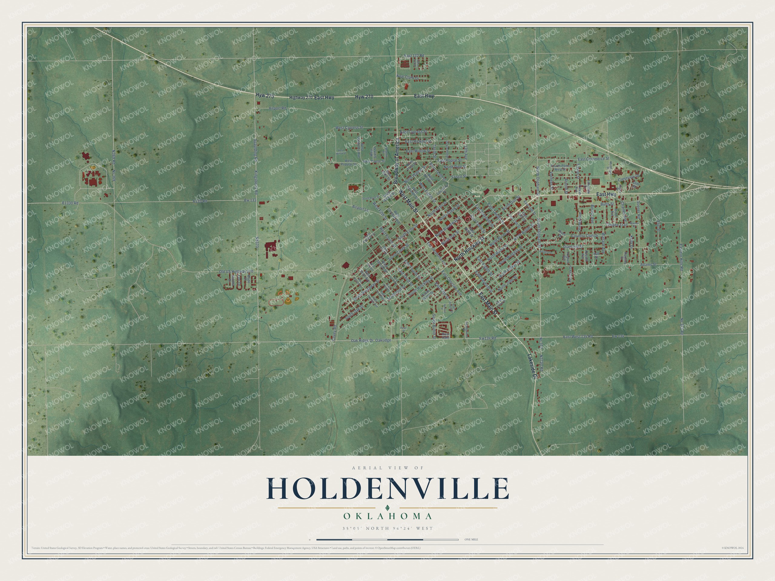
This beautifully detailed map of Holdenville, Oklahoma was created in 2026 using aerial imagery combined with modern topographical, census, street and landmark data. It's a modern aerial view of Holdenville in Hughes County, Oklahoma, that combines modern data with a vintage aesthetic. The roads feature printed names, and if you look closely you can find your exact house accurately shown in its correct location.
Explore an aerial view of Holdenville, Oklahoma
On this map you'll find Stroup Park, North Hinckley Street, West Main Street, East Main Street, Hyw 270, Broadway of America, East Highway, Lakeside Drive, Spaulding Road, East West 134 Road, Ew134 Road, South Hinckley Street, and more. Each red shape is a building, so zoom in on the preview and look for yours.
Every town has a first chapter, and Holdenville is no exception. The record at okhistory.org puts it this way: "In 1895 the Choctaw, Oklahoma and Gulf Railroad (CO&G, later the Chicago, Rock Island and Pacific Railway) built a line from McAlester to Oklahoma City."
Holdenville is a city in Hughes County.
Take a closer look at the Holdenville map
Names on this map
These names are printed on this map.
Places: Stroup Park.
Streets and roads: North Hinckley Street, West Main Street, East Main Street, Hyw 270, Broadway of America, East Highway, Lakeside Drive, Spaulding Road, East West 134 Road, Ew134 Road, South Hinckley Street, South Oliphant Street.
More street names, A to Z
13th Avenue, Adams Street, Airport Lane, Airport Road, Arnold Street, Belmont Street, Berton Avenue, Billington Drive, Butts Street, Cemetery Drive, Charles Avenue, Clift Drive, Country Club Drive, Covey Road, Crestview Drive, Diamond Street, East 13th Street, East 14th Street, East 15th Street, East 132 Road, East Choctaw Avenue, East Commerce Street, East Cypress Street, East Eighth Street, East Eleventh Street, Eastern Hills Road, East Fifth Street, East First Street, East Fourth Street, East Hickory Street, East Ninth Street, East Oklahoma Avenue, East Poplar Street, East Scott Avenue, East Second Street, East Seventh Street, East Tenth Street, East Third Street, East Thomas Avenue, East Twelfth Street, East Willow Street, Eleventh Street, Eric Street, Ew 133, Ew 134, Fourth Penn West Street, Frisco Street, Gardenwood Drive, Grimes Avenue, Highway 270, Huff Street, Hughes Avenue, Kelly Drive, Kingsberry Road, Lakeview Drive, Lou Drive, Martha Drive, McDougal Drive, Moore Avenue, Nathan Buck Drive, Neal Clark Drive, North Broadway Street, North Bullet Street, North Bullitt Street, North Burgess Street, North Burns Street, North Creek Street, North Echo Street, North Gulf Street, North John Street, North Kelker Street, North Lowe Street, North Oak Street, North Oliphant Street, North Pine Street, North Plum Street, North Walnut Street, Ns 369, Ns 372, Ns 373 Road, Oakridge, Oak Ridge Drive, Old US Highway 270, Pearl Street, Raintree Drive, Ramsey Drive, River Oaks, Rives Drive, Rogers Drive, Russell Avenue, Seventh Street, Sooner Road, South Broadway Street, South Bullitt Street, South Burgess Street, South Burns Street, South Chestnut Street, South Creek Street, South Echo Street, South Gulf Street, South Oak Street, South Plum Street, South Walnut Street, Teepee Trail, Tenth Street, Trevyn Avenue, Trevyn Street, Vorhees Street, Wade Drive, Wallace Avenue, Warren Street, West Choctaw Avenue, West Cypress Street, West Eighth Street, West Fifth Street, West First Avenue, West Fourth Street, West Ninth Street, West Oklahoma Avenue, West Poplar Street, West Popular Street, West Scott Avenue, West Second Street, West Seventh Street, West Sixth Street, West Tenth Street, West Third Street, West Thomas Avenue, West Willow Street.
Created by KNOWOL in 2026. The buildings are small red shapes, the roads carry their printed names, and shaded relief shows the shape of the land. The title panel reads "AERIAL VIEW OF HOLDENVILLE OKLAHOMA" with 35°05' NORTH 96°24' WEST.
Hang it in the hallway, the office or the cabin, or give it to someone who left Holdenville and still calls it home. Open the preview and look for a street you know. See sizes and frames for the Holdenville map.