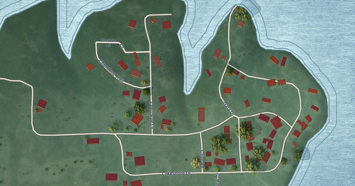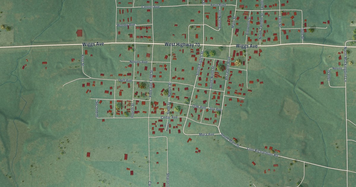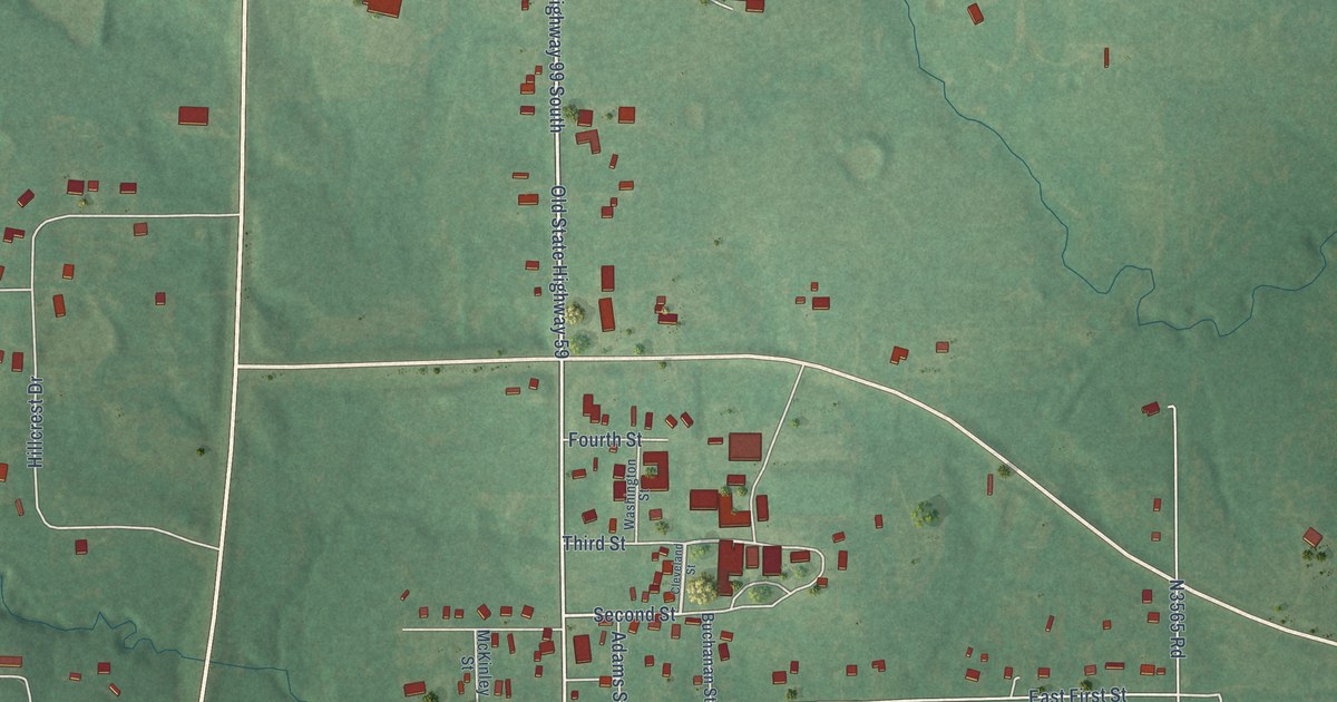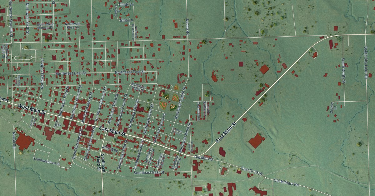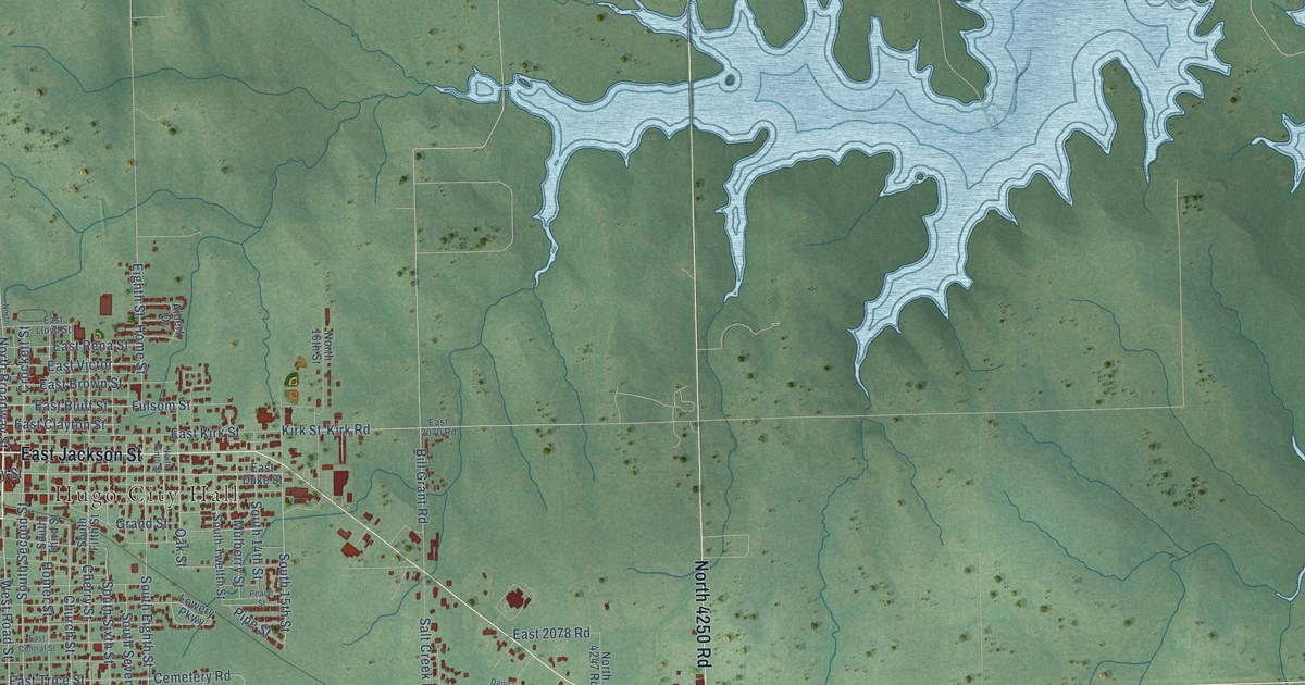
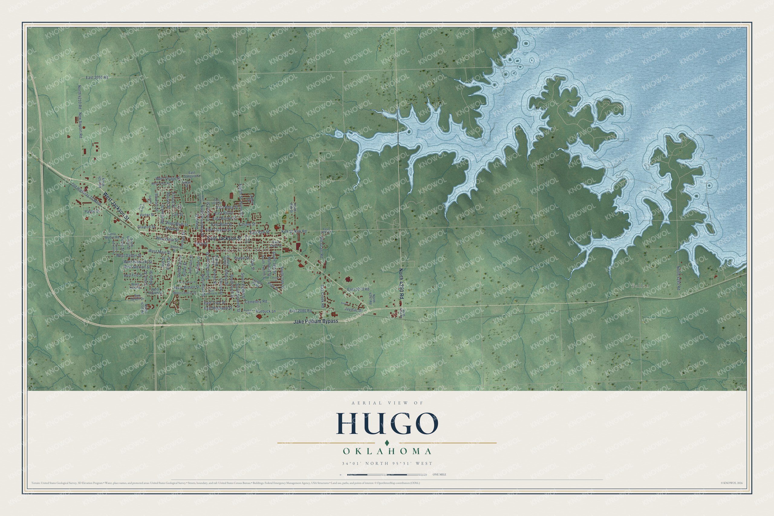
This beautifully detailed map of Hugo, Oklahoma was created in 2026 using aerial imagery combined with modern topographical, census, street and landmark data. It's a modern aerial view of Hugo in Choctaw County, Oklahoma, that combines modern data with a vintage aesthetic. The roads feature printed names, and if you look closely you can find your exact house accurately shown in its correct location.
Explore an aerial view of Hugo, Oklahoma
On this map you'll find Hugo City Hall, Fallon, West Jackson Street, Jake Pulliam Bypass, East Jackson Street, North 4250 Road, West Road Street, North Broadway Street, East Victor, Cemetery Road, West Main Street, Eighth Street, and more. Each red shape is a building, so zoom in on the preview and look for yours.
Here is a piece of Hugo history, in the words of the record. The record at okhistory.org puts it this way: "In 1824 the U.S. Army had established Fort Towson, and in 1848 the Presbyterians established the forerunner of the Goodland Indian Orphanage in the area."
Hugo is a city in Choctaw County.
Take a closer look at the Hugo map
Names on this map
These names are printed on this map.
Places: Hugo City Hall and Fallon.
Streets and roads: West Jackson Street, Jake Pulliam Bypass, East Jackson Street, North 4250 Road, West Road Street, North Broadway Street, East Victor, Cemetery Road, West Main Street, Eighth Street, South Eighth Street, East Trice Street.
More street names, A to Z
Albert Drive, Ash Street, Bill Grant Road, Bomford Street, Cherry Street, Church Street, Clayton Street, Crockett Street, Danita, Dewey Street, East 2050 Road, East 2070 Road, East 2078 Road, East 2080 Road, East Bluff Street, East Brown Street, East Central Street, East Clayton Street, East Duke Street, East Highland Street, East Kirk Street, East Lloyd Street, East Rena Street, East Sanguin Street, Ethel Street, Ferris Street, Frisco Street, Fulsom Street, Garner Lane, Grand Street, Grove Street, Helen Street, Homer Street, Home Street, Jaymac Drive, Johnson Street, Kirk Road, Kirk Street, Lee Street, Lena Moore Road, Lowery Parkway, Mulberry Street, Needham Street, New Airport Road, North 16th Street, North 4210 Road, North 4214 Road, North 4218 Road, North 4225 Road, North 4247 Road, North 4285 Road, North Ninth Street, North Webb Street, Oak Street, Old Highway 70 West, Payne Street, Peach Street, Pipe Street, Roebuck Lane, Roebuck Road, Russer Street, Salt Creek Road, Short Street, South 14th Street, South 15th Street, South Bomford Street, South Dewitt Street, South East Street, South Fifth Street, South Second Street, South Seventh Street, South Sixth Street, South Third Street, South Twelfth Street, Spring Street, Stewart Street, Sun Haven Drive, Terry Street, Texas Street, Thomas Street, Victor Street, Wade Street, West Bissell Street, West Bluff Street, West Central Street, West Dalton Street, West Duke Street, West First Street, West Fourth Street, West Kiamichi Street, West Lowery Street, West Osage Street, West Sterrett Street, West Texas Avenue, West Third Street, Yerby Street.
Created by KNOWOL in 2026. The buildings are small red shapes, the roads carry their printed names, and shaded relief shows the shape of the land. The title panel reads "AERIAL VIEW OF HUGO OKLAHOMA" with 34°01' NORTH 95°31' WEST.
It suits a den, a classroom or a front hall, and it makes a gift for anyone with Hugo roots. Open the preview and find the block you know. See sizes and frames for the Hugo map.