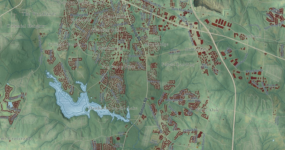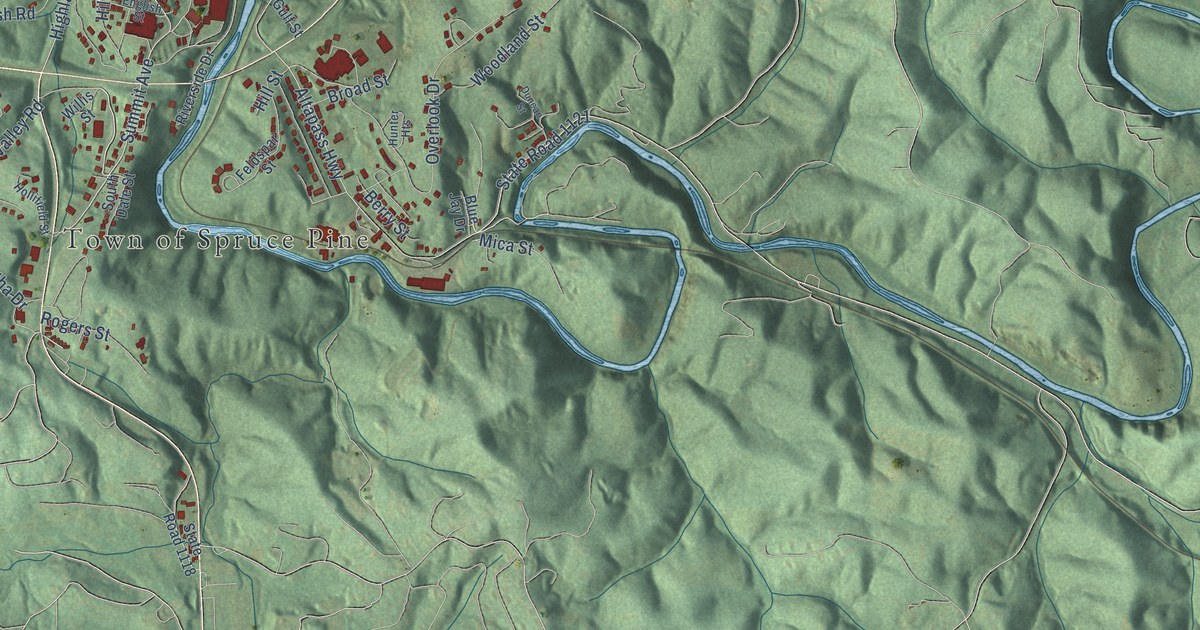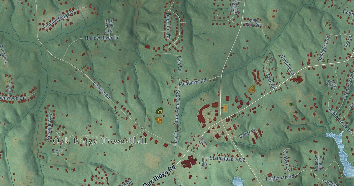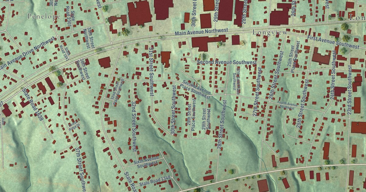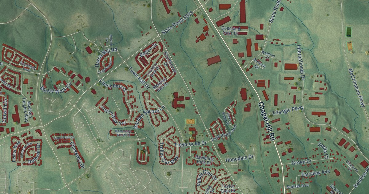
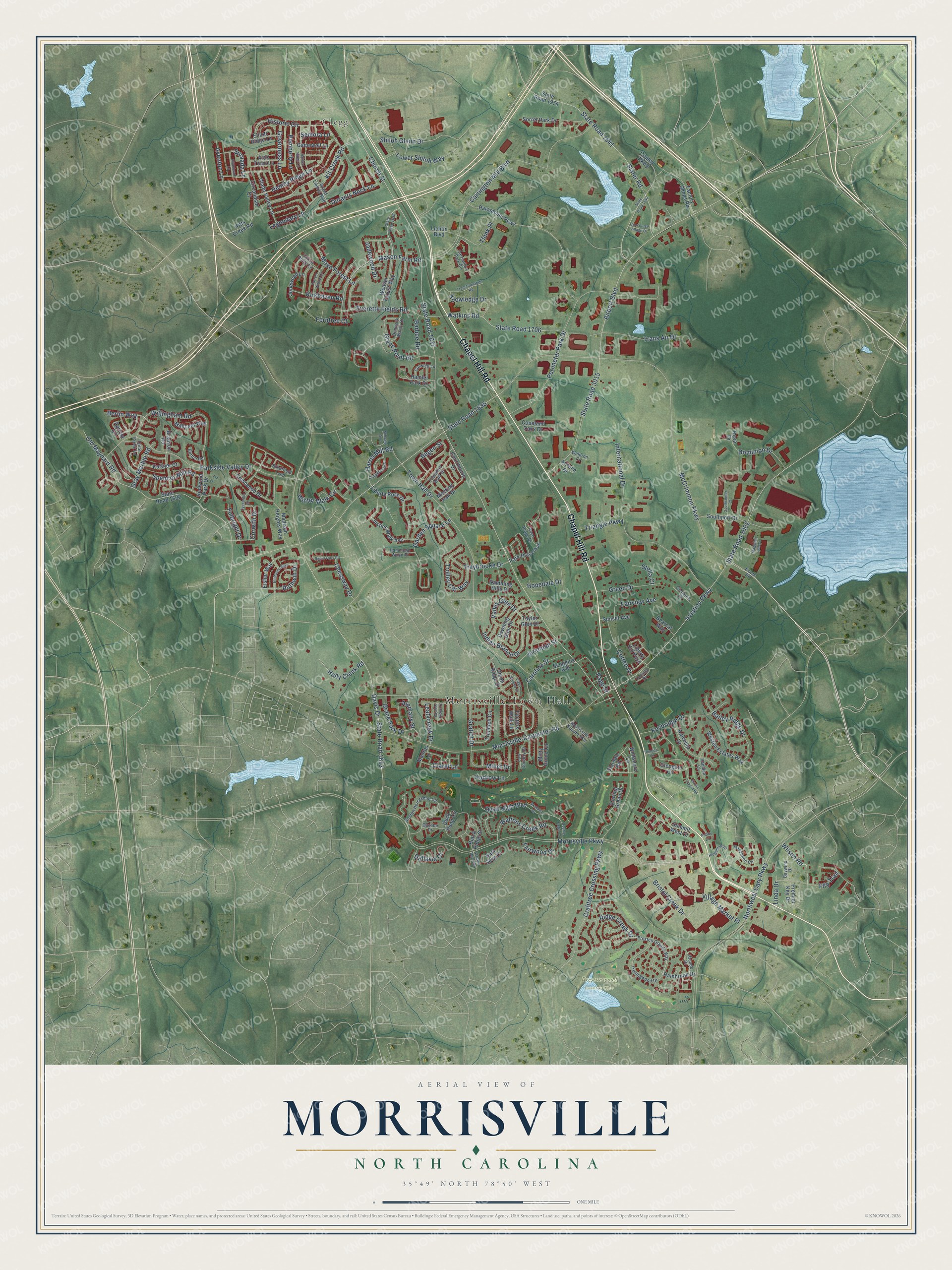
This beautifully detailed map of Morrisville, North Carolina was created in 2026 using aerial imagery combined with modern topographical, census, street and landmark data. It's a modern aerial view of Morrisville in Wake County, North Carolina, that combines modern data with a vintage aesthetic. The roads feature printed names, and if you look closely you can find your exact house accurately shown in its correct location.
Explore an aerial view of Morrisville, North Carolina
On this map you'll find Morrisville Town Hall, Clegg, Prestonwood Country Club, Chapel Hill Road, Davis Drive, Harris Mill Road, Morrisville Parkway, McCrimmon Parkway, Church Street, State Road 1637, Carrington Mill Boulevard, Northwest Cary Parkway, and more. Each red shape is a building, so zoom in on the preview and look for yours.
Morrisville has a story worth telling. The National Register of Historic Places puts it this way: "The Pugh House stands at the center of the Town of Morrisville, which grew up around a station on the North Carolina Railroad, constructed through the area in 1852."
Morrisville is a town in Wake County. The Census Bureau counted 29,630 people here in 2020.
Take a closer look at the Morrisville map
Names on this map
These names are printed on this map.
Places: Morrisville Town Hall, Clegg and Prestonwood Country Club.
Streets and roads: Chapel Hill Road, Davis Drive, Harris Mill Road, Morrisville Parkway, McCrimmon Parkway, Church Street, State Road 1637, Carrington Mill Boulevard, Northwest Cary Parkway, Morrisville-Carpenter Road, Airport Boulevard, Town Hall Drive.
More street names, A to Z
Airtech Drive, Alemany Street, Apricot Circle, Artis Town Lane, Aventon Lane, Aviation Parkway, Bailey Ridge Drive, Barbee Road, Bayless Ridge Court, Baywind Drive, Bearcat Way, Begen Street, Berlin Way, Black Ridge Street, Bradson Road, Brentfield Loop, Bristol Creek Drive, Button Road, Carolina Street, Carrington Park Circle, Chessway Drive, Circandian Court, Claret Lane, Clements Drive, Colwick Lane, Concourse Village Drive, Copeland Oaks Drive, Copley Parkway, Coral Creek Lane, Corwith Drive, Cotten Drive, Cotulla Drive, Courthouse Drive, Crabtree Crossing Parkway, Craigmeade Drive, Creek Park Drive, Crescendo Drive, Dallavia Court, Denmark Manor Drive, Dominion Drive, Double Eagle Court, Downing Glen Drive, Duck Pond Circle, Durants Neck Lane, Dyersville Drive, East Seve Court, Elliott Ridge Lane, Elmhaven Way, Elshur Way, Evans Road, Everette Fields Road, Factors Walk Lane, Factory Shops Road, Fairview Avenue, Fairwood Drive, Falcon Ridge Lane, Ferntree Court, Flip Trail, Forrest Willow Lane, Founders Walk Drive, Fulbright Drive, Gamewell Lane, Garden Square Lane, Gazebo Drive, Glade Valley Lane, Glengate Circle, Golden Horseshoe Circle, Governess Lane, Grace Park Drive, Grace Point Road, Grande Drive, Grand Liberty Boulevard, Gratiot Drive, Gray Marble Road, Green Drive, Hamlet Park Drive, Hammond Wood Place, Hemby Ridge Lane, Henrico Lane, Hildebran Lane, Historic Circle, Holly Creek Road, Hopedale Drive, Indian Branch Drive, International Drive, Jadewood Drive, Jeremiah Street, Junewood Lane, Justice Walk Avenue, Kalvesta Drive, Keybridge Drive, Kirkhaven Road, Kit Creek Road, Kitts Creek Road, Knowledge Drive, Kudrow Lane, Kurtner Court, Leafycreek Drive, Legendary Lane, Liberty Hill Pass, Liberty Rose Drive, Lichtin Boulevard, Linda Drive, Low Country Court, Lower Shiloh Way, Macalpine Circle, Madison Heights Way, Madres Lane, Magellan Lab Court, Martin Tavern Road, Mason Farm Road, Mayo Forest Lane, Medalist Drive, Meeting Hall Drive, Midvale Avenue, Millet Drive, Millicent Way, Misty Grove Circle, Morrisville Square Way, Nova Drive, Oatney Ridge Lane, Old Maynard Road, Paddy Lane, Page Street, Paramount Parkway, Park Place Avenue, Parkside Valley Drive, Pemberly Lane, Perimeter Park Drive, Premier Key Drive, Preston Grande Way, Quail High Boulevard, Rainbrook Drive, Rambling Hills Drive, Rapidan Court, Rapid Falls Road, Redwood Park Drive, Ridge Creek Drive, Ridgemere Drive, Rose Ridge Drive, Ruthwin Drive, Scoggins Avenue, Semora Lane, Shiloh Glenn Drive, Slater Road, Sorrel Park Drive, Southcenter Court, Southport Drive, Spencor Mill Road, Stardale Road, State Road 1002, State Road 1613, State Road 1632, State Road 1635, State Road 1638, State Road 1640, State Road 1641, State Road 1706, State Road 1974, State Road 3015, Stella Court, Sterling Green Drive, Summit West Drive, Sunset Avenue, Survada Lane, Taylor Glen Drive, Think Place, Trans Air Drive, Transformation Road, Trellingwood Drive, Treybrooke Drive, Triangle Parkway, Trolley Car Way, Trumbell Circle, Union Ridge Drive, Valley Glen Drive, Village Market Place, Vista Brooke Drive, Waldron Court, Waltons Creek Road, Watkins Road, Weaver Forest Way, Weston Estates Way, Willingham Road, Wilson Road, Winter Walk Circle, Wolfsnare Lane.
Created by KNOWOL in 2026. The buildings are small red shapes, the roads carry their printed names, and shaded relief shows the shape of the land. The title panel reads "AERIAL VIEW OF MORRISVILLE NORTH CAROLINA" with 35°49' NORTH 78°50' WEST.
It looks right in a kitchen, an office or a den, and it's a gift for anyone who grew up in Morrisville or moved away. Open the preview and find your street. See sizes and frames for the Morrisville map.