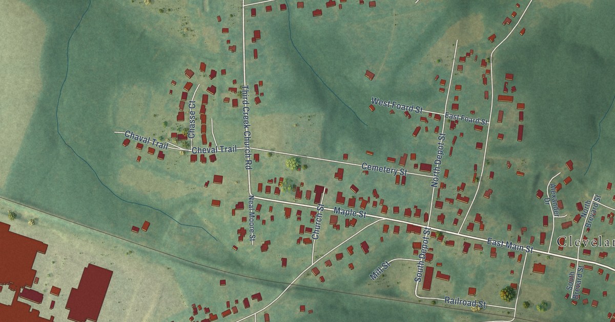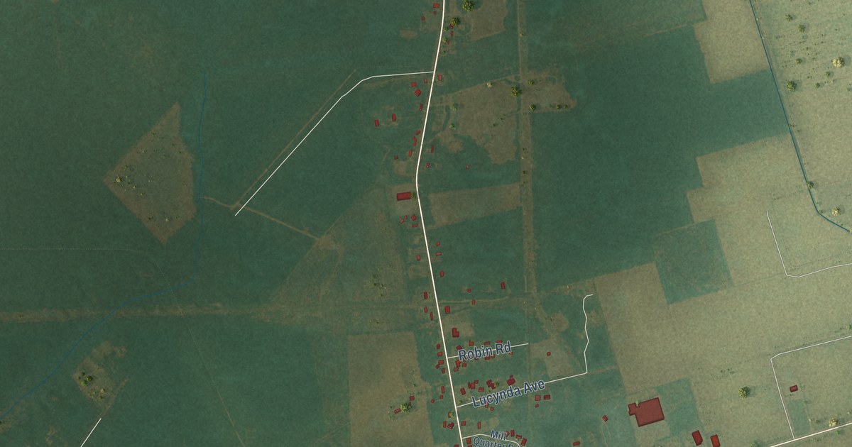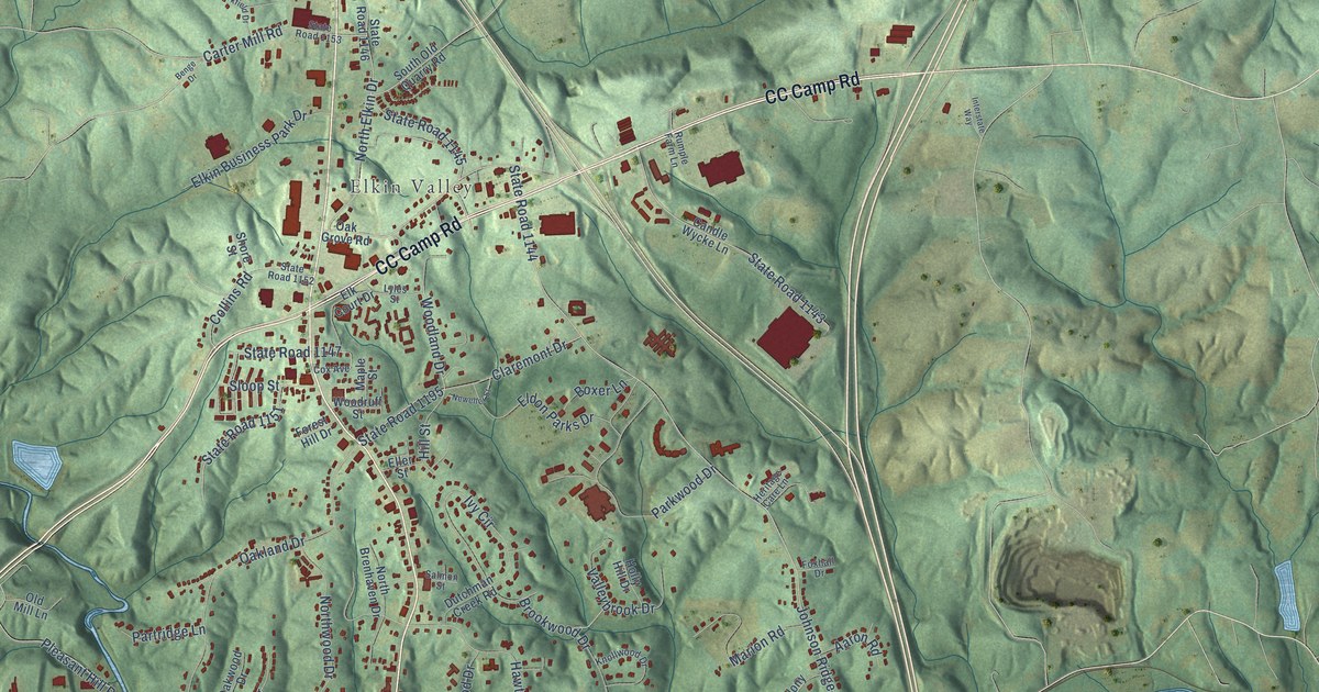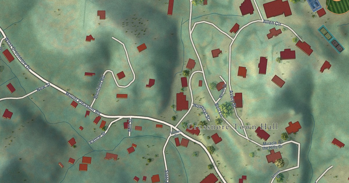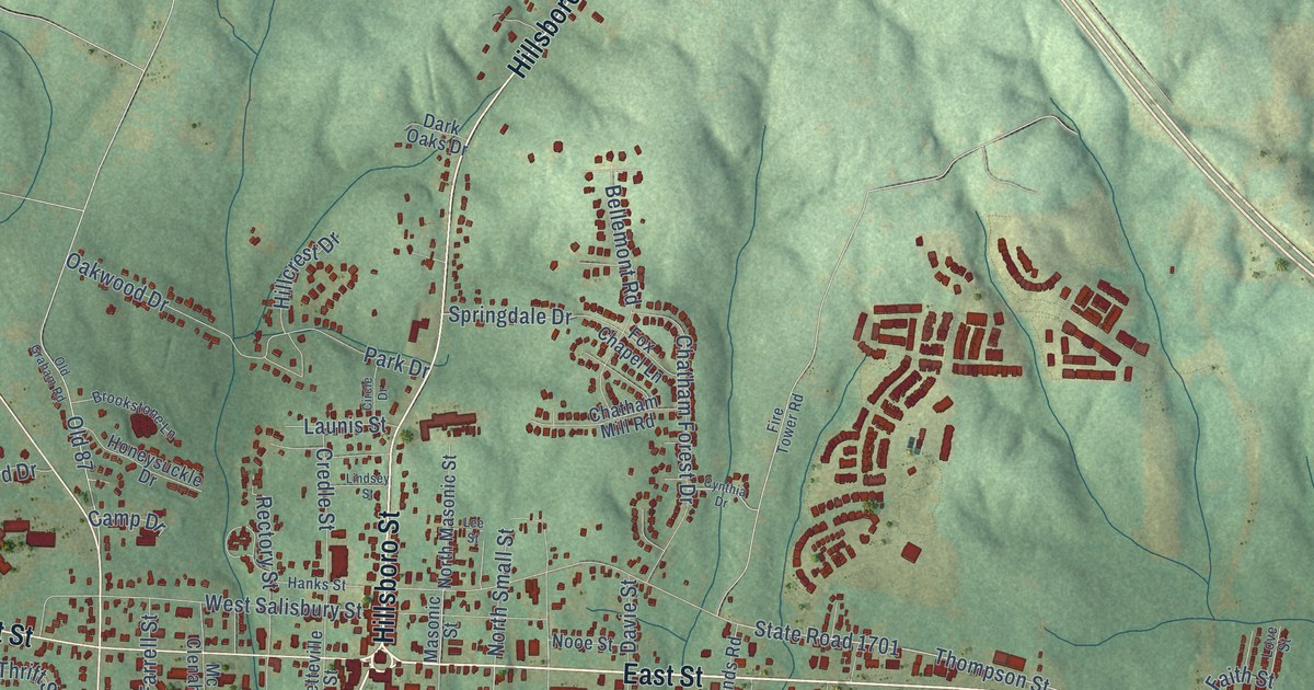
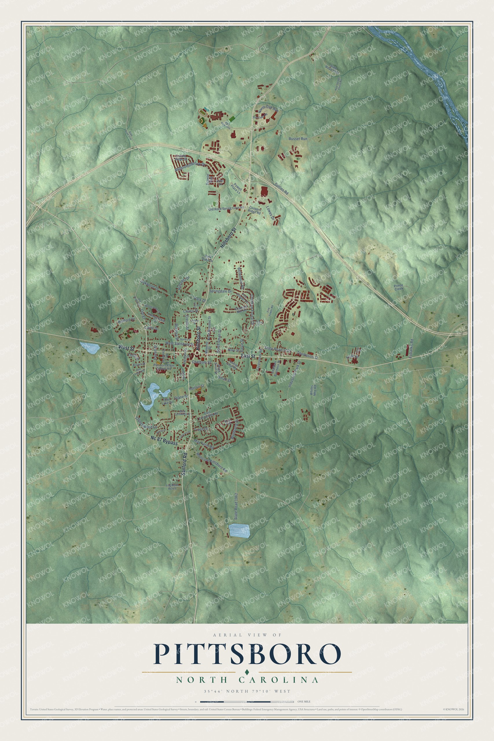
This beautifully detailed map of Pittsboro, North Carolina was created in 2026 using aerial imagery combined with modern topographical, census, street and landmark data. It's a modern aerial view of Pittsboro in Chatham County, North Carolina, that combines modern data with a vintage aesthetic. The roads feature printed names, and if you look closely you can find your exact house accurately shown in its correct location.
Explore an aerial view of Pittsboro, North Carolina
On this map you'll find East Street, Hillsboro Street, West Street, Sanford Road, Nc 87 Bypass, Churchwood Lane, State Road 1701, Small Street, Thompson Street, Russet Run, Suttles Road, Millbromillbrook Drive, and more. Each red shape is a building, so zoom in on the preview and look for yours.
Pittsboro has a story worth telling. The record at dncr.nc.gov puts it this way: "Henry Armand London, a native of Pittsboro, was enrolled at the University of North Carolina from July 1862 until November 1864, when he left school to enter the Confederate Army at age eighteen."
Pittsboro is a town in Chatham County. The Census Bureau counted 4,537 people here in 2020.
Take a closer look at the Pittsboro map
Names on this map
These names are printed on this map.
Streets and roads: East Street, Hillsboro Street, West Street, Sanford Road, Nc 87 Bypass, Churchwood Lane, State Road 1701, Small Street, Thompson Street, Russet Run, Suttles Road, Millbromillbrook Drive.
More street names, A to Z
Ashford Drive, Aster Lane, Bellemont Road, Bramlet Row, Bridle Path, Brookstone Lane, Brown Street, Burnice Place, Camp Drive, Chatham Business Drive, Chatham Forest Drive, Chatham Mill Road, Chatham Street, Circle Drive, Cobble Ridge Drive, Coopers Ridge Road, Credle Street, Cynthia Drive, Dark Oaks Drive, Davie Street, Diane Street, East Cornwallis Road, Eubanks Road, Evergreen Drive, Fairgrounds Road, Faith Street, Farrell Street, Fayetteville Street, Fire Tower Road, Five Oaks Road, Fox Chapel Lane, Hanks Street, Hillcrest Drive, Honeysuckle Drive, Horton Street, Industrial Park Drive, Launis Street, Lee Street, Lindsey Street, Lockville Street, Log Barn Acres, Love Street, Lowes Drive, Masonic Street, May Farm Road, Mc Clenahan, Moncure Pittsboro Road, Nooe Street, North Masonic Street, North Oak Avenue, North Small Street, Oakwood Drive, Old 87, Old Graham Road, Old Rock Spring Cevn Road, Park Drive, Pittsboro Elem School Road, Powell Place Lane, Prince Creek, Rectory Street, Rock Springs Church Road, South Small Street, Springdale Drive, State Road 1516, State Road 1599, State Road 1704, State Road 1962, State Road 2160, Thrift Street, Toomer Loop Road, Town Lake Drive, Trace Drive, West Cornwallis Street, West Salisbury Street, Whites Mhp Road, Windsong Drive.
Created by KNOWOL in 2026. The buildings are small red shapes, the roads carry their printed names, and shaded relief shows the shape of the land. The title panel reads "AERIAL VIEW OF PITTSBORO NORTH CAROLINA" with 35°44' NORTH 79°10' WEST.
It looks right in a kitchen, an office or a den, and it's a gift for anyone who grew up in Pittsboro or moved away. Open the preview and find your street. See sizes and frames for the Pittsboro map.