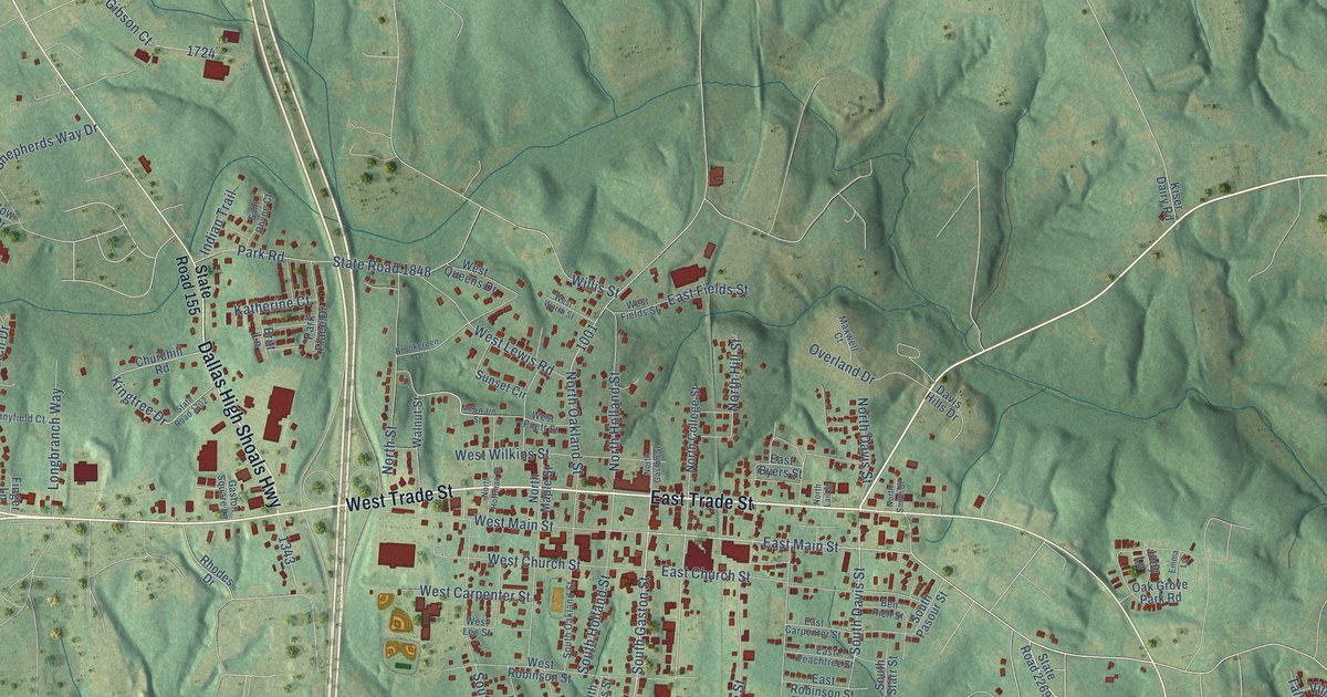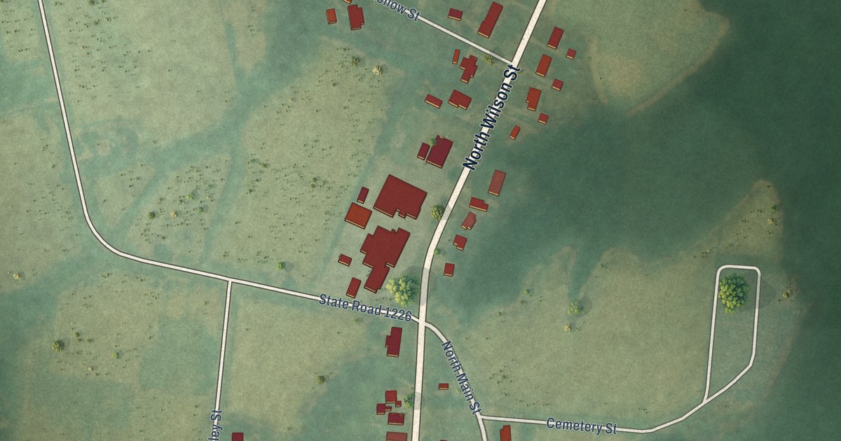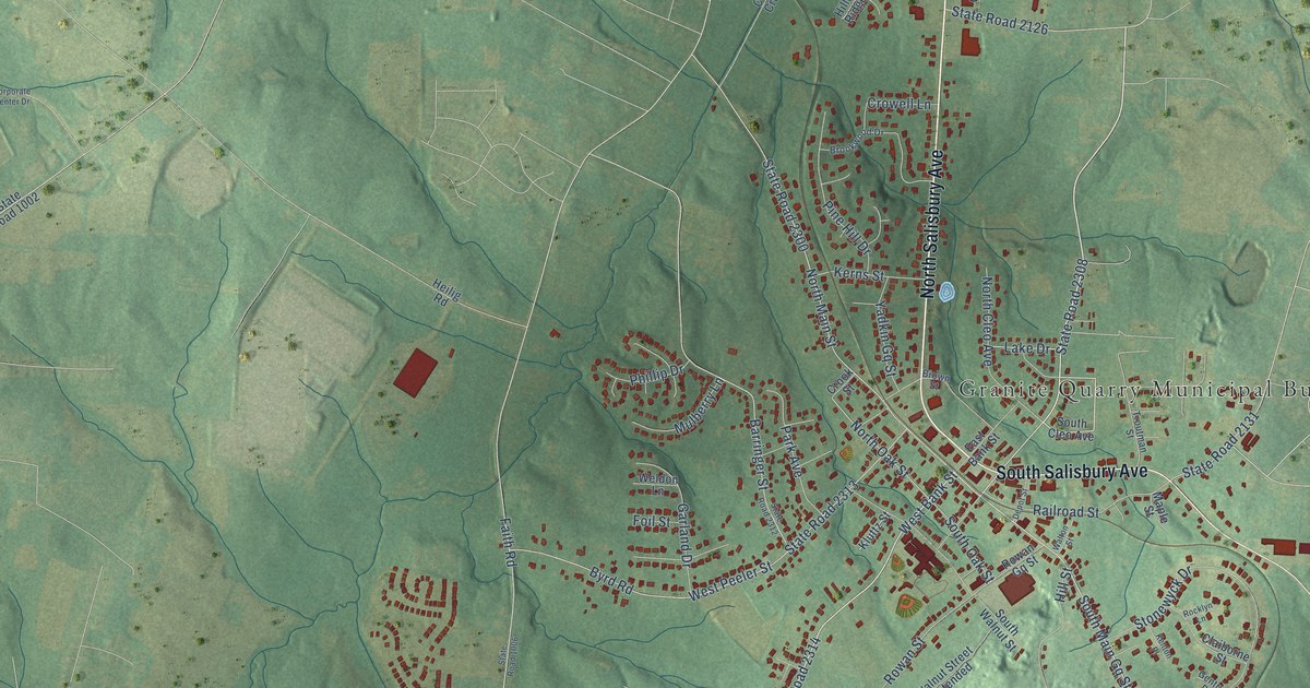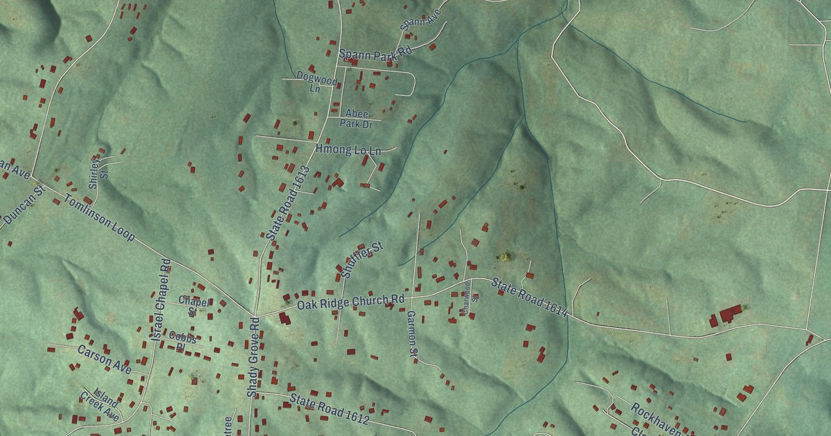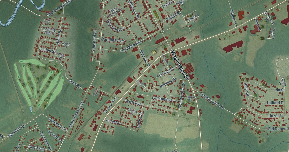
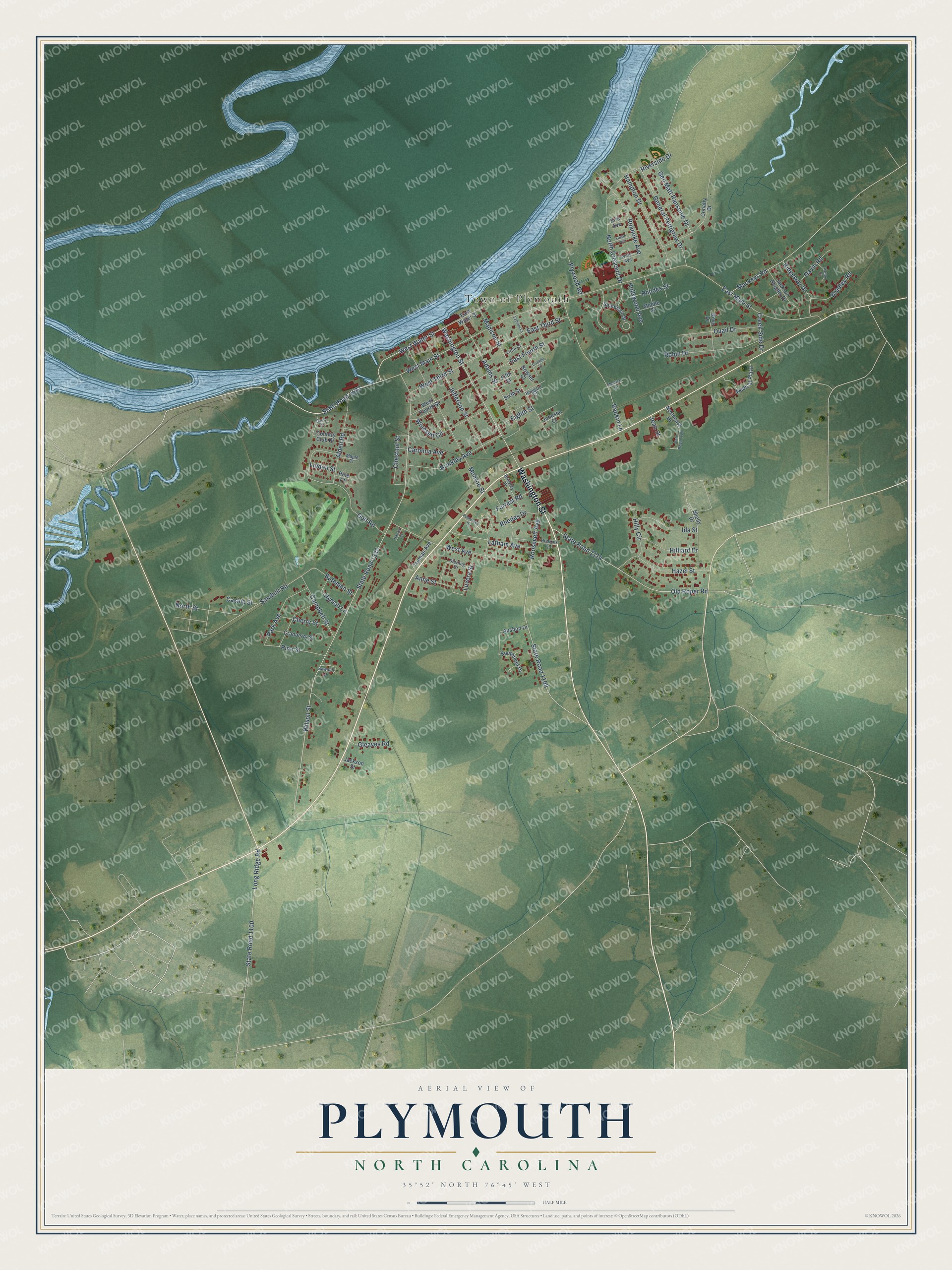
This beautifully detailed map of Plymouth, North Carolina was created in 2026 using aerial imagery combined with modern topographical, census, street and landmark data. It's a modern aerial view of Plymouth in Washington County, North Carolina, that combines modern data with a vintage aesthetic. The roads feature printed names, and if you look closely you can find your exact house accurately shown in its correct location.
Explore an aerial view of Plymouth, North Carolina
On this map you'll find Town of Plymouth, Washington Street, West Water Street, State Road 1583, West Main Street, State Road 1335, East Fourth Street, West Third Street, Wilson Street, East Main Street, Jefferson Street, Monroe Street, and more. Each red shape is a building, so zoom in on the preview and look for yours.
Here is a piece of Plymouth history, in the words of the record. The record at ncpedia.org puts it this way: "The Albemarle , having returned to Plymouth, furnished supporting fire on the east side of town."
Plymouth is a town in Washington County. The Census Bureau counted 3,320 people here in 2020.
Take a closer look at the Plymouth map
Names on this map
These names are printed on this map.
Places: Town of Plymouth.
Streets and roads: Washington Street, West Water Street, State Road 1583, West Main Street, State Road 1335, East Fourth Street, West Third Street, Wilson Street, East Main Street, Jefferson Street, Monroe Street, Old Roper Road.
More street names, A to Z
Adams Street, Alden Road, Anne Street, Ausbon Drive, Bateman Street, Bowser Court, Bradley Road, Brinkley Avenue, Brinkley Place, Campbell Street, Carolina Avenue, Cashie Street, Cherry Street, Chestnut Street, Conaby Drive, Country Club Drive, Cranberry Street, Creek Side Drive, Crowell Street, Darby Circle, Dove Drive, East Third Street, East Water Street, Eighth Street, Fifth Street, Forrest Road, Gavin Road, General Pettigrew Drive, Gen Matt Ransome Drive, Gleaves Road, Golf Road, Hampton Drive, Harvey Court, Hazel Street, Hilliard Drive, Hilly Circle, Hoggard Court, Hollywood Avenue, Hopkins Lane, Hyman Lane, Ida Street, Jackson Heights Drive, Jackson Street, Jean Street, Johnson Court, Kirk Avenue, Latham Avenue, Latham Lane, Linden Street, Little Court, Logan Avenue, Long Ridge Road, Luvera Street, Mackeys Road, Madison Street, Maple Court, Medical Plaza, Middle Street, Moratoc Lane, North Crescent Drive, Northeast Drive, North Street, Park Avenue, Patton Court, Pembroke Drive, Pine Court, Pine Street, Plywood Road, Quail Drive, Rankin Lane, Rhodes Drive, Rhodes Street, Ridgeway Drive, Riverside Drive, Roanoke Avenue, Robin Drive, Roosevelt Avenue, Sandhill Road, Sawmill Circle, Shelly Drive, Sixth Street, Somerset Drive, Southfield Drive, State Road 1100, State Road 1108, State Road 1114, State Road 1198, Sterling Drive, Truman Avenue, West Avenue, West Fourth Street, Wilts Avenue, Winesett Circle.
Created by KNOWOL in 2026. The buildings are small red shapes, the roads carry their printed names, and shaded relief shows the shape of the land. The title panel reads "AERIAL VIEW OF PLYMOUTH NORTH CAROLINA" with 35°52' NORTH 76°45' WEST.
It suits a den, a classroom or a front hall, and it makes a gift for anyone with Plymouth roots. Open the preview and find the block you know. See sizes and frames for the Plymouth map.