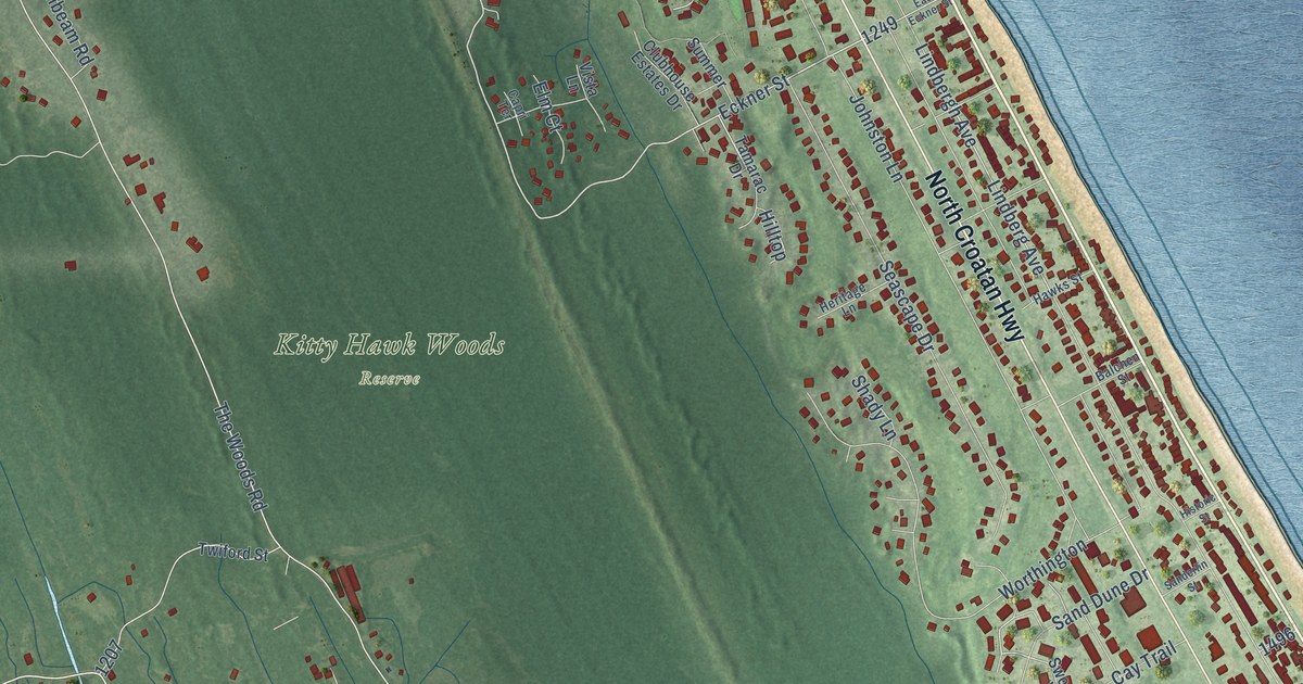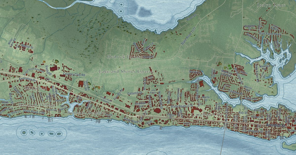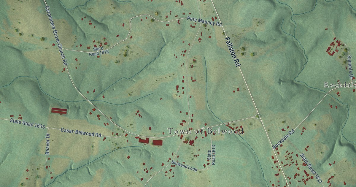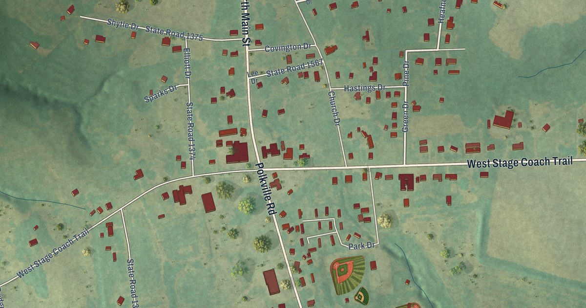
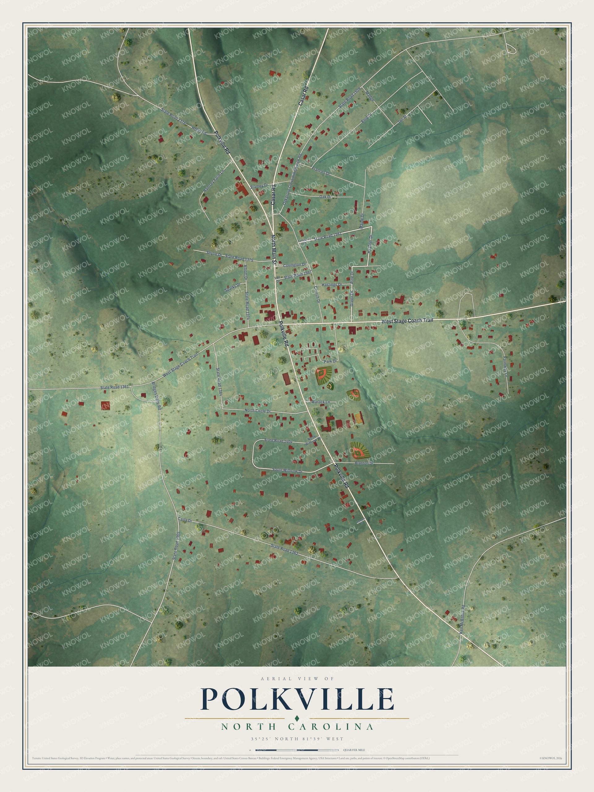
This beautifully detailed map of Polkville, North Carolina was created in 2026 using aerial imagery combined with modern topographical, census, street and landmark data. It's a modern aerial view of Polkville in Cleveland County, North Carolina, that combines modern data with a vintage aesthetic. The roads feature printed names, and if you look closely you can find your exact house accurately shown in its correct location.
Explore an aerial view of Polkville, North Carolina
On this map you'll find North Main Street, Polkville Road, West Stage Coach Trail, Casar Road, State Road 1561, South Withrow Drive, State Road 1365, State Road 1362, State Road 1361, Carla Drive, Bridges Dairy Road, State Road 1404, and more. Each red shape is a building, so zoom in on the preview and look for yours.
Every town has a first chapter, and Polkville is no exception. The City of Polkville puts it this way: "Early Settlers carved cart and wagon paths out of a wooded wilderness with axes as their main tools. Stagecoach roads were later built, and about 1875, buggies, a more comfortable mode of travel began. The main east-west route in Cleveland County was from Lincolnton through Fallston-Lawndale-Polkville, and on to Rutherfordton in the adjoining county."
Polkville is a city in Cleveland County. The Census Bureau counted 516 people here in 2020.
Take a closer look at the Polkville map
Names on this map
These names are printed on this map.
Streets and roads: North Main Street, Polkville Road, West Stage Coach Trail, Casar Road, State Road 1561, South Withrow Drive, State Road 1365, State Road 1362, State Road 1361, Carla Drive, Bridges Dairy Road, State Road 1404.
More street names, A to Z
Blanton Drive, Church Drive, Covington Drive, Eastwood Drive, Elliott Drive, Enid Drive, Farmway Lane, Frances Drive, Green Drive, Hastings Drive, Heafner Drive, Hollis Road, Jan Street, Ken McEntire Road, Lee Drive, Madge, Maple Drive, North Circle Drive, North Withrow Drive, Oak Drive, Oakgrove Cloverhill Church Road, Park Drive, Pine Drive, Ramsey Farm Lane, Shytle Drive, Sparks Drive, Stamey Drive, State Road 1374, State Road 1375, State Road 1376, State Road 1384, State Road 1509, State Road 1567, Wampus Drive, Warlick Lane.
Created by KNOWOL in 2026. The buildings are small red shapes, the roads carry their printed names, and shaded relief shows the shape of the land. The title panel reads "AERIAL VIEW OF POLKVILLE NORTH CAROLINA" with 35°25' NORTH 81°39' WEST.
Hang it in the hallway, the office or the cabin, or give it to someone who left Polkville and still calls it home. Open the preview and look for a street you know. See sizes and frames for the Polkville map.