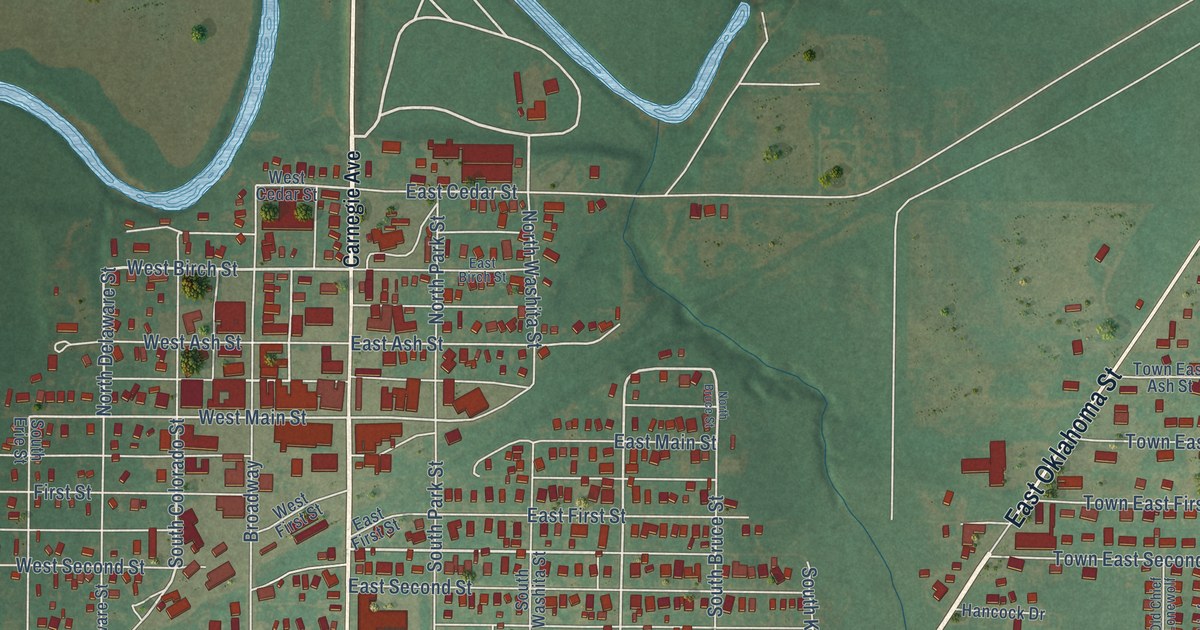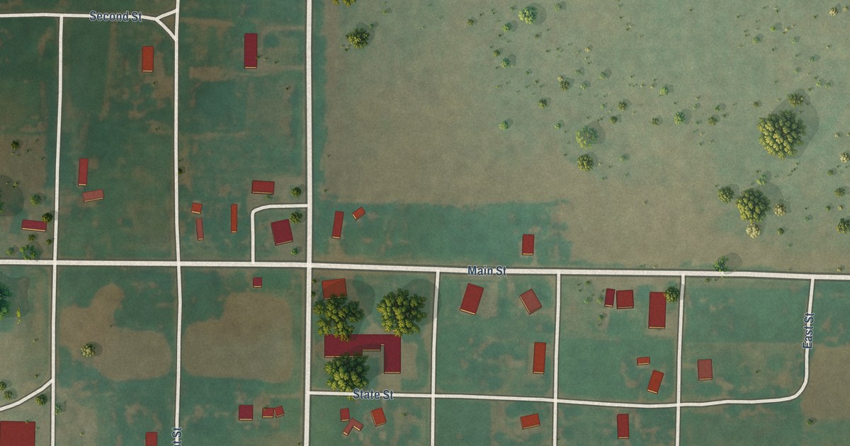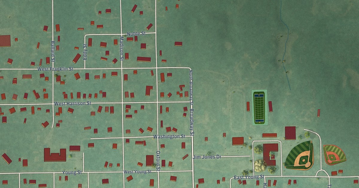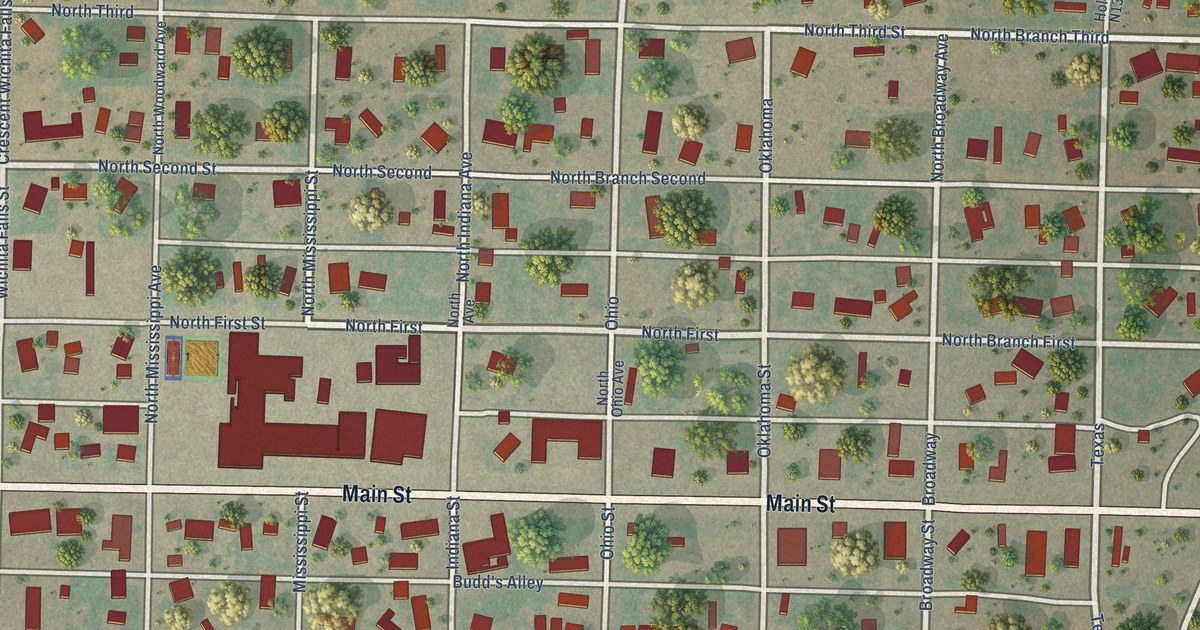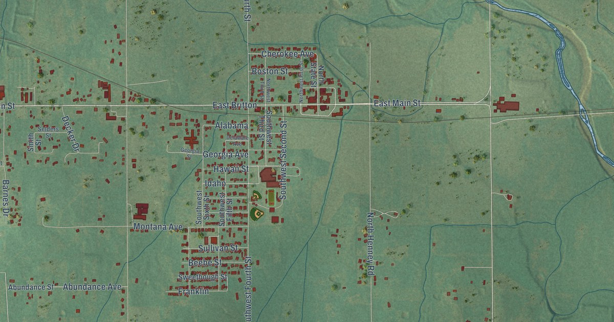
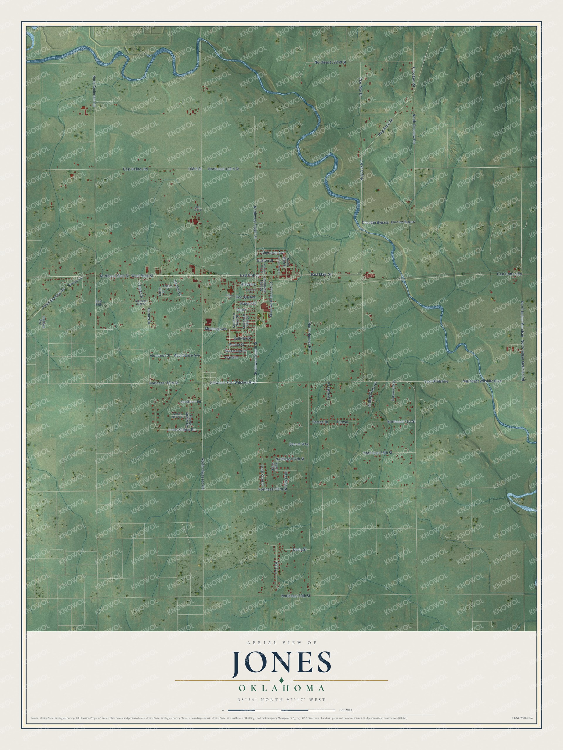
This beautifully detailed map of Jones, Oklahoma was created in 2026 using aerial imagery combined with modern topographical, census, street and landmark data. It's a modern aerial view of Jones in Oklahoma County, Oklahoma, that combines modern data with a vintage aesthetic. The roads feature printed names, and if you look closely you can find your exact house accurately shown in its correct location.
Explore an aerial view of Jones, Oklahoma
On this map you'll find North Choctaw Road, Hillwood, East Main Street, Hawaii Street, Idaho, East Britton, Northeast 93rd Street, West Main Street, Northeast 122nd Street, Georgia Avenue, 108th Street, North Hiwassee Road, and more. Each red shape is a building, so zoom in on the preview and look for yours.
Every town has a first chapter, and Jones is no exception. The record at okhistory.org puts it this way: "Luther F. Aldrich platted the townsite on April 22, 1898, before the St. Louis and Oklahoma City Railroad (after 1899 the St. Louis and San Francisco Railway, or Frisco) constructed a line from Sapulpa to Oklahoma City."
Jones is a town in Oklahoma County.
Take a closer look at the Jones map
Names on this map
These names are printed on this map.
Streets and roads: North Choctaw Road, Hillwood, East Main Street, Hawaii Street, Idaho, East Britton, Northeast 93rd Street, West Main Street, Northeast 122nd Street, Georgia Avenue, 108th Street, North Hiwassee Road.
More street names, A to Z
Abundance Avenue, Abundance Street, Alabama, Barnes Drive, Beebe Street, Boston Street, Buckboard Road, Bynum Way, Cedar Creek Drive, Cherokee Avenue, Choctan Bypass, Choctaw Bypass, Choctaw Road, Clar-Mar Drive, Davis Street, Decker Drive, Deer Run, Delaware Avenue, East 89th, East Britton Road, East Hefner Road, East Whilshire, East Wilshire Boulevard, Fawn Ridge, Franklin, Georgia Street, Glen Case Drive, Hart Lane, Highland Avenue, Hog Back Road, Hogback Road, Jasper Drive, Jones Spencer Road, Jones Station Road, Montana Avenue, North Anderson Road, Northeast 50th Street, Northeast 63rd Street, Northeast 67th Street, Northeast 68th Street, Northeast 71st Street, Northeast 78th Street, Northeast 89th Street, Northeast 108th Street, Northeast Wilshire Boulevard, North Henney Road, North Indian Meridian, North Indian Meridian Road, North State Street, Northwest First Street, Northwest Fourth Street, Northwest Third Street, Oakwood Way, Rolling Oaks Road, Selders Street, Smith Street, Southwest Fifth Street, Southwest Fourth Street, Southwest Second Street, Southwest Sixth Street, Southwest Third Street, Spencer Road, Station Master Court, Station Master Road, Sullivan Street, Sweetbough Street, Teresa, Teresa Drive, Teresita Lane.
Created by KNOWOL in 2026. The buildings are small red shapes, the roads carry their printed names, and shaded relief shows the shape of the land. The title panel reads "AERIAL VIEW OF JONES OKLAHOMA" with 35°34' NORTH 97°17' WEST.
Hang it in the hallway, the office or the cabin, or give it to someone who left Jones and still calls it home. Open the preview and look for a street you know. See sizes and frames for the Jones map.