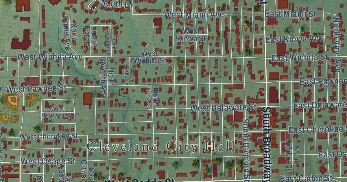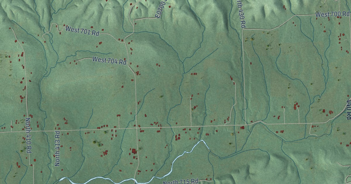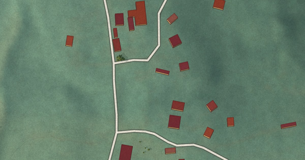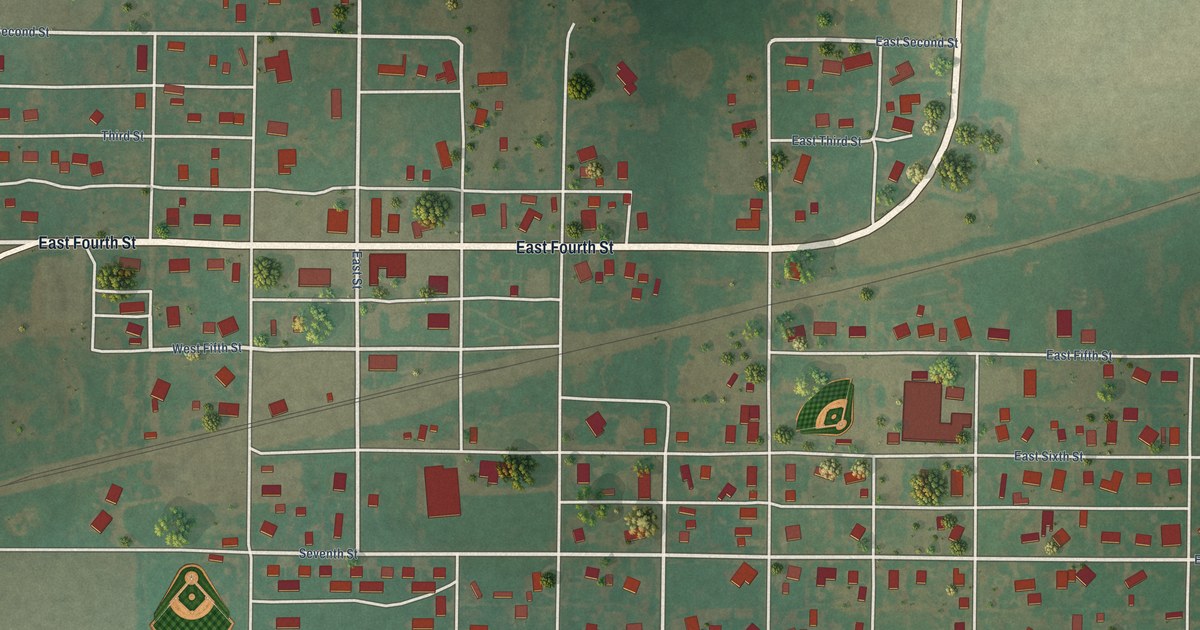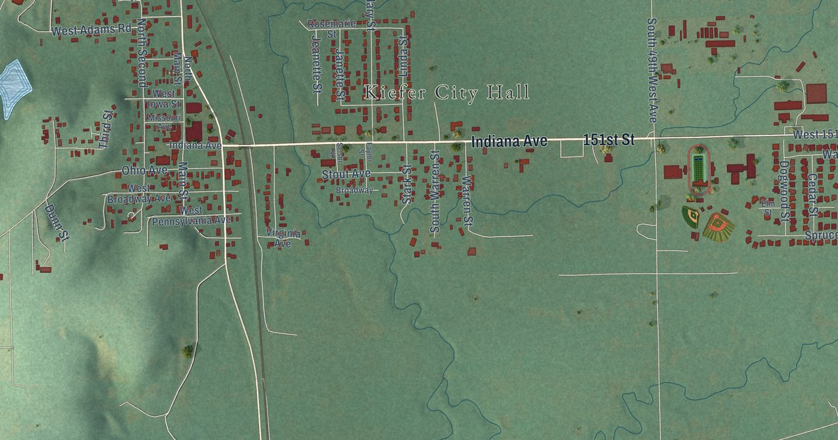
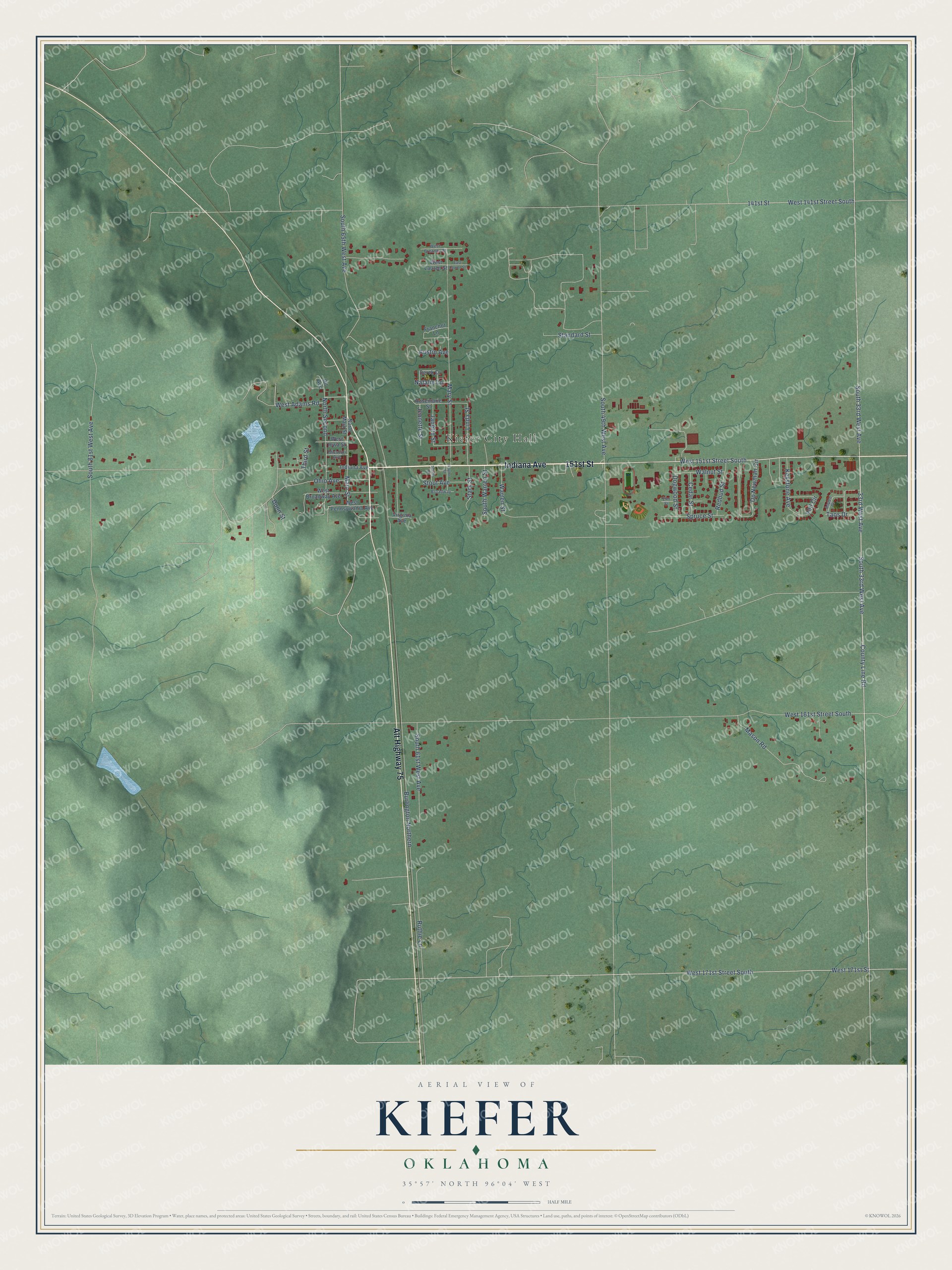
This beautifully detailed map of Kiefer, Oklahoma was created in 2026 using aerial imagery combined with modern topographical, census, street and landmark data. It’s a one-of-a-kind view of Kiefer that combines accurate data with a vintage aesthetic. The map shows every building in its true location, many of the roads carry their names, and the shaded topographic relief shows the shape of the land.
Explore an aerial view of Kiefer, Oklahoma
On the map you’ll find Kiefer City Hall, along with Indiana Avenue, 151st Street, Alt Highway 75, County Line Road, West 151st Street South, West 171st Street South, Main Street, Vail Circle, 33rd West Avenue, West 141st Street South, South 33rd West Avenue, and more. If you look closely you can even find your house accurately drawn in its correct location. Zoom in on the preview to look for yours.
Did you know this piece of Kiefer, Oklahoma history?
From Okhistory.org: "Because it had the nearest railroad for transporting the Glenn Pool crude to Texas refineries, by November 1906 the community had become a major shipping point."
Kiefer is a town in Creek County.
Take a closer look at the Kiefer map
Street and place names on the Kiefer, Oklahoma map
These names are printed on the map of Kiefer, Oklahoma.
Places: Kiefer City Hall.
Streets and roads: Indiana Avenue, 151st Street, Alt Highway 75, County Line Road, West 151st Street South, West 171st Street South, Main Street, Vail Circle, 33rd West Avenue, West 141st Street South, South 33rd West Avenue, Burlington Northern.
More street names, A to Z
141st Street, Aspen Drive, Austin Avenue, Broadway, Cedar Street, Derek Drive, Dogwood Street, Dp Newman Circle, Dunn Street, East Lauren Street, Elm Street, Faylor Street, Franchot Lane, Janette Street, Jeanette Street, Keystone Avenue, Linda Street, Mary Street, Mason Road, Missouri Avenue, Natalie Lane, North Main Street, North Second, Ohio Avenue, Oil Acc, Redbud Street, Rosemarie Street, Ruthie Lane, Selsor Street, South 49th West Avenue, South 61st West Avenue, South 65th West Avenue, South 81st West Avenue, South Warren Street, Spruce Street, Standard Street, Stark Street, Stout Avenue, Taos Drive, Third Street, Virginia Avenue, Walnut Street, Warren Street, West 161st Street South, West 171st Street, West Adams Road, West Breanna Street, West Broadway Avenue, West Iowa Street, West Lauren Street, West Pennsylvania Avenue.
See the Kiefer, Oklahoma map on a wall
The Kiefer map as an 18 x 24 inch print in a black frame.

This beautifully detailed map of Kiefer makes an attractive addition to your office, library, or den, and it can even be used to teach children the geography and history of the area. It also makes a great gift for someone who left Kiefer and still calls it home. When you’re done exploring, click here to get your copy of the Kiefer map.