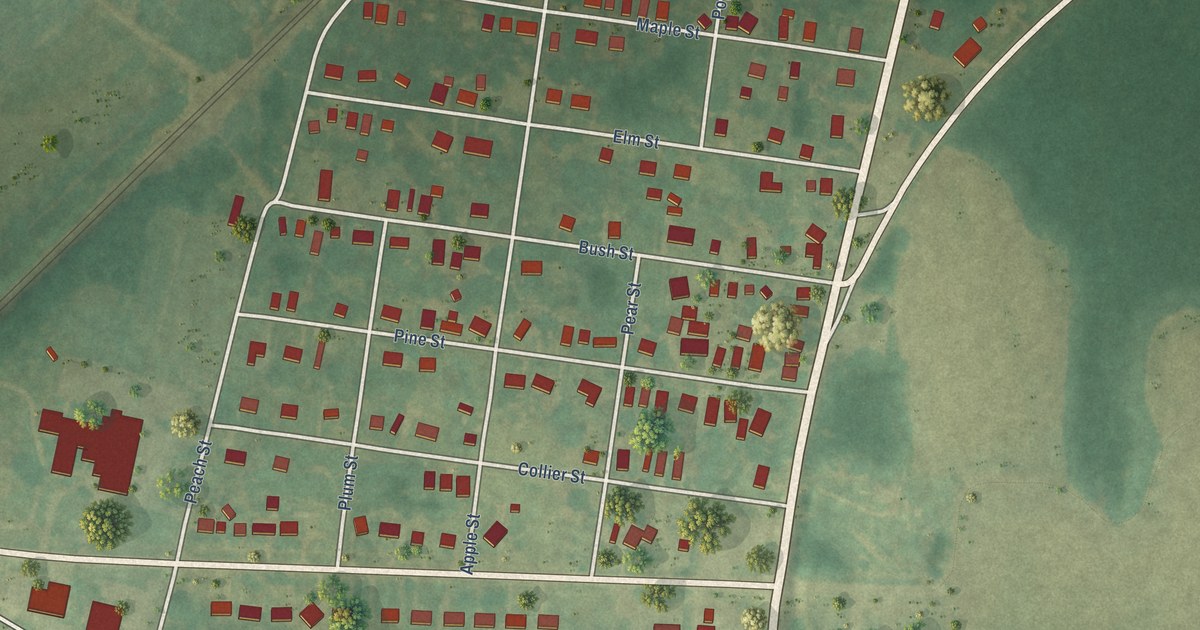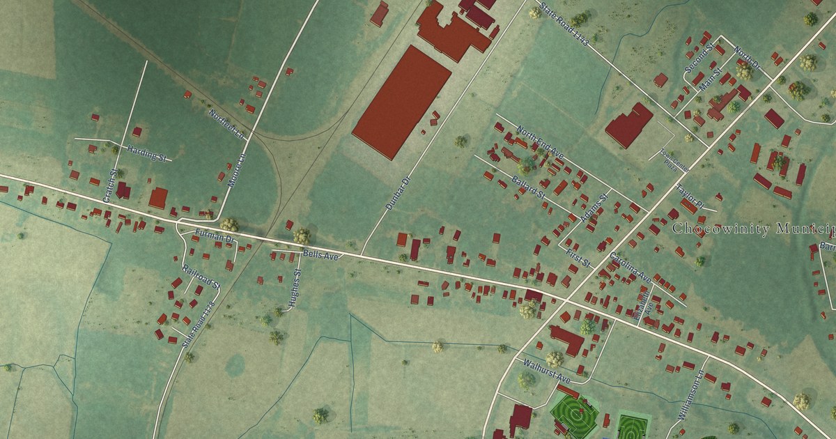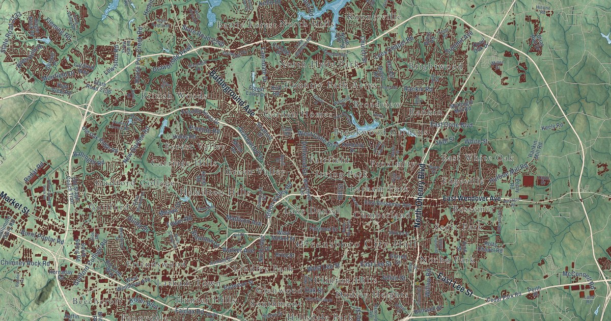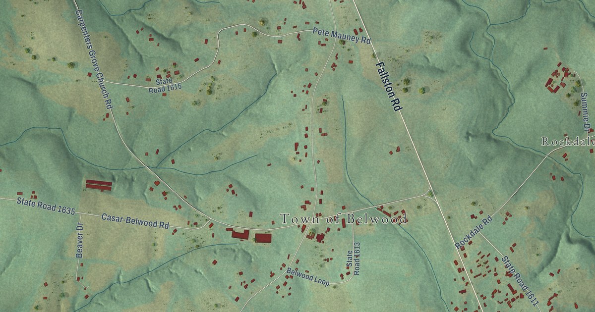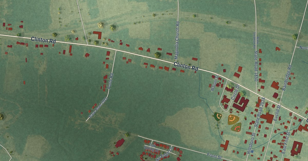
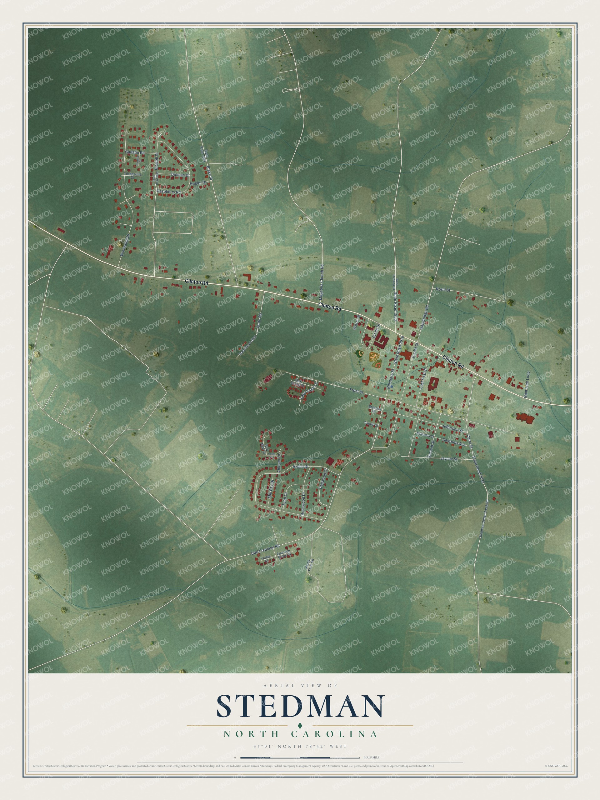
This beautifully detailed map of Stedman, North Carolina was created in 2026 using aerial imagery combined with modern topographical, census, street and landmark data. It's a modern aerial view of Stedman in Cumberland County, North Carolina, that combines modern data with a vintage aesthetic. The roads feature printed names, and if you look closely you can find your exact house accurately shown in its correct location.
Explore an aerial view of Stedman, North Carolina
On this map you'll find Clinton Road, State Road 2018, Front Street, Hillsboro Street, Azelia Drive, Carol Street, State Road 2022, Windwood Drive, Raspberry Road, Euclid Street, East First Street, Carl Freeman Road, and more. Each red shape is a building, so zoom in on the preview and look for yours.
Here is a piece of Stedman history, in the words of the record. The North Carolina Gazetteer puts it this way: "Stedman town in E Cumberland County. Inc. 1913. Named for Charles M. Stedman (1841-1930), president of the North Carolina Railroad and last Confederate veteran to serve in Congress."
Stedman is a town in Cumberland County. The Census Bureau counted 1,277 people here in 2020.
Take a closer look at the Stedman map
Names on this map
These names are printed on this map.
Streets and roads: Clinton Road, State Road 2018, Front Street, Hillsboro Street, Azelia Drive, Carol Street, State Road 2022, Windwood Drive, Raspberry Road, Euclid Street, East First Street, Carl Freeman Road.
More street names, A to Z
Abloom Lane, Averitt Street, Bainbridge Road, Bird Nest Court, Blake Street, Blanche Drive, Blawell Street, Circle Drive, Corolla Court, Dogwood Court, Dolman Drive, Emerson Grove Court, Forte Road, Gallatin Road, Gum Tree Loop, Horne Farm Road, Jaycee Street, Jefferson Street, Kegler Drive, Lake Edge Lane, Magnolia Church Road, Mill Bay Drive, North Street, Oak Spring Street, Pansey Lane, Rosewood Drive, Second Street, Sessoms Avenue, Sessoms Street, State Road 1844, State Road 1850, State Road 1883, State Road 2021, Stedman-Cedar Creek Road, Timberville Street, Tulip Court, Wade Stedman Road, Watson Street, Yorkie Court.
Created by KNOWOL in 2026. The buildings are small red shapes, the roads carry their printed names, and shaded relief shows the shape of the land. The title panel reads "AERIAL VIEW OF STEDMAN NORTH CAROLINA" with 35°01' NORTH 78°42' WEST.
It suits a den, a classroom or a front hall, and it makes a gift for anyone with Stedman roots. Open the preview and find the block you know. See sizes and frames for the Stedman map.