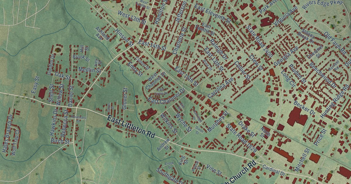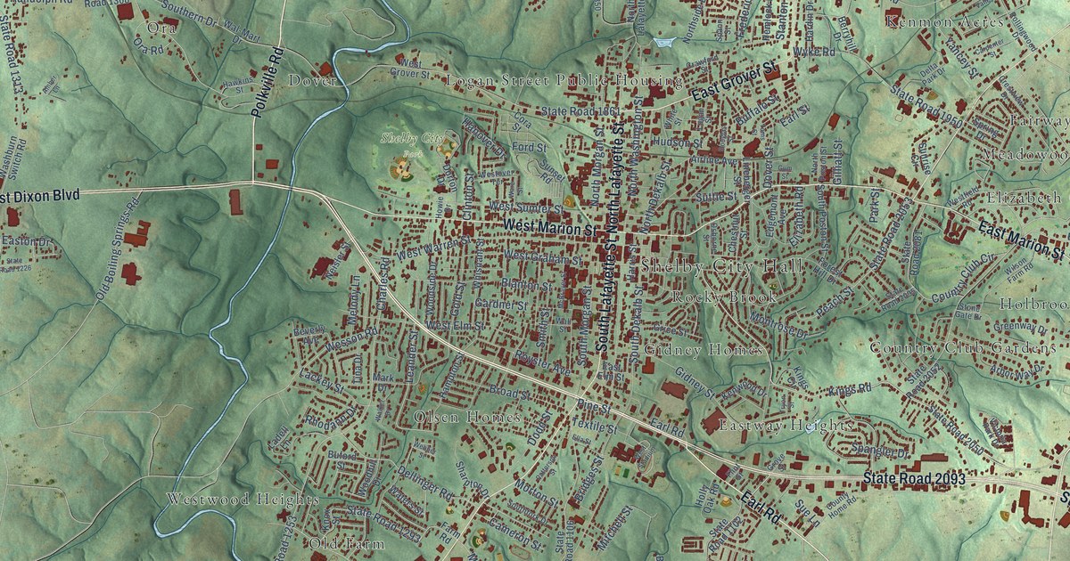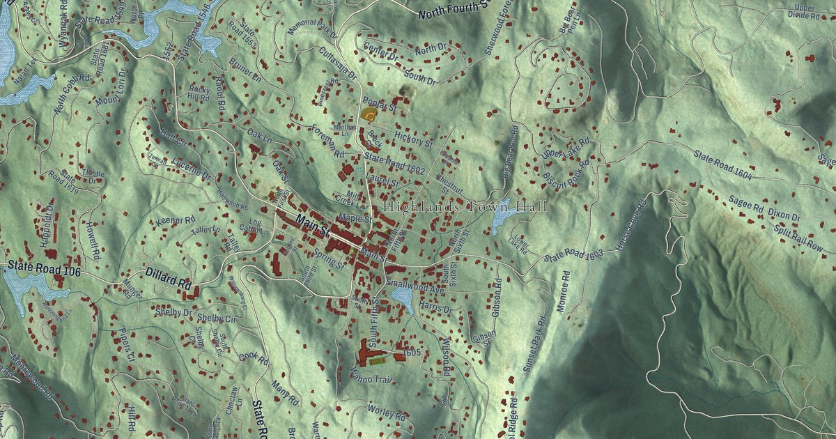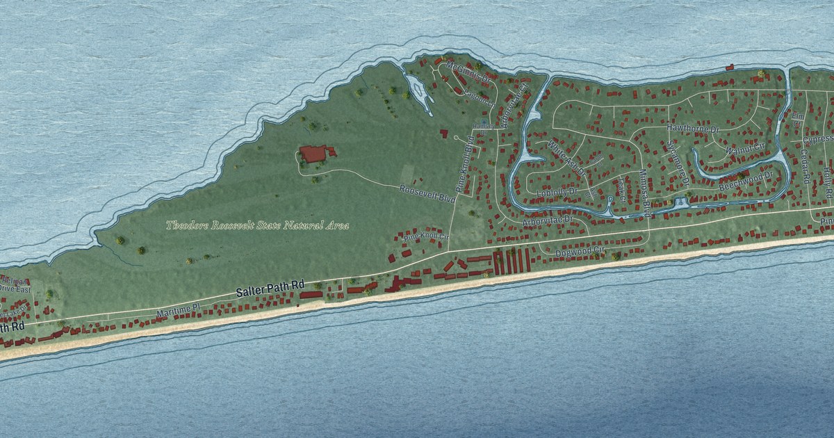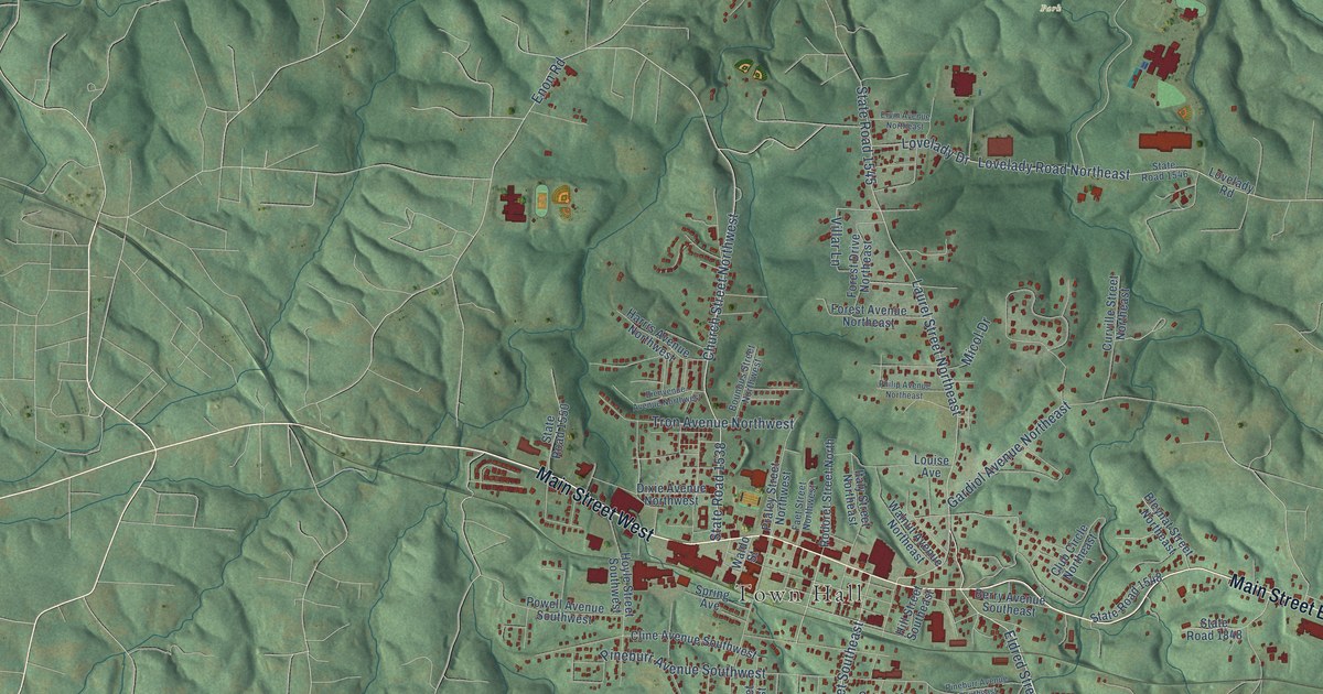
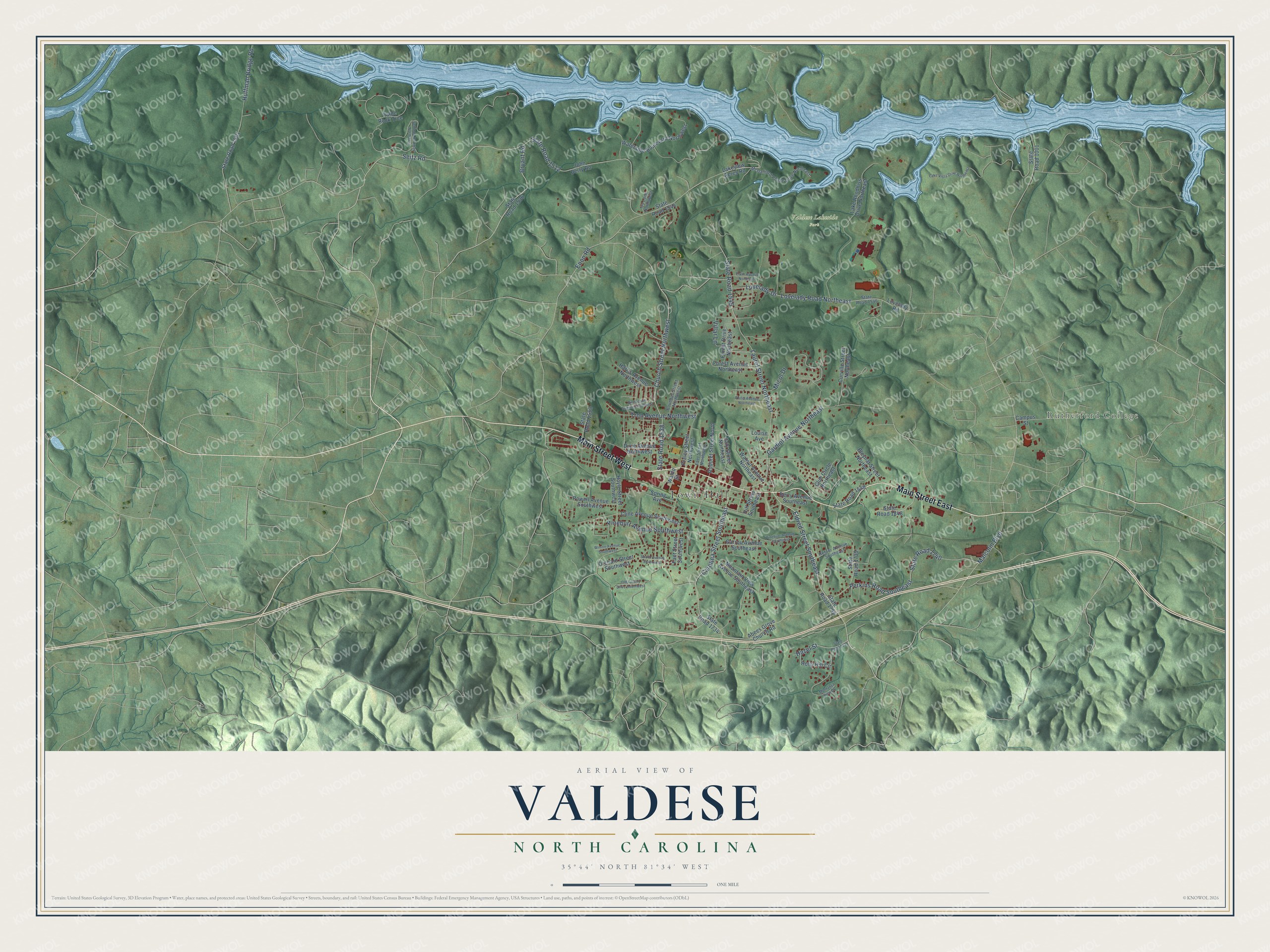
This beautifully detailed map of Valdese, North Carolina was created in 2026 using aerial imagery combined with modern topographical, census, street and landmark data. It's a modern aerial view of Valdese in Burke County, North Carolina, that combines modern data with a vintage aesthetic. The roads feature printed names, and if you look closely you can find your exact house accurately shown in its correct location.
Explore an aerial view of Valdese, North Carolina
On this map you'll find Town Hall, Rutherford College, Valdese Lakeside Park, Main Street West, Main Street East, Church Street Northwest, Seitz Road, Bryant Road, Eldred Street Southeast, Carolina Street Southeast, State Road 1538, Malcolm Boulevard, and more. Each red shape is a building, so zoom in on the preview and look for yours.
Valdese has a story worth telling. The record at dncr.nc.gov puts it this way: "In 1895 the Waldensian Church in Valdese united with the Presbyterian Church, which shared similar structure and theology."
Valdese is a town in Burke County. The Census Bureau counted 4,689 people here in 2020.
Take a closer look at the Valdese map
Names on this map
These names are printed on this map.
Places: Town Hall, Rutherford College and Valdese Lakeside Park.
Streets and roads: Main Street West, Main Street East, Church Street Northwest, Seitz Road, Bryant Road, Eldred Street Southeast, Carolina Street Southeast, State Road 1538, Malcolm Boulevard, Lovelady Road Northeast, Laurel Street Northeast, State Road 1545.
More street names, A to Z
Abees Grove Church Road, Berry Avenue Southeast, Bienvenue Avenue Northwest, Bleynat Street Northeast, Bounous Street Northwest, Campus Street, Cline Avenue Southwest, Club Circle Northeast, Curville Street Northeast, Dixie Avenue Northwest, Enon Road, Ervin Avenue Northeast, Faet Street Northwest, Faet Street Southwest, Forest Avenue Northeast, Forest Drive Northeast, Gardiol Avenue Northeast, Garrou Avenue Southeast, Harris Avenue Northwest, Hazel Street, Hill Street Southeast, Holly Hill Circle, Hoyle Street Southwest, Huffman Bridge Road, Italy Street Northeast, Ivy Lane Northwest, John Berry Road, Lake Rhodhiss Drive Northeast, Lakeview Acres Road, Lake Vista Drive Northeast, Louise Avenue, Lovelady Drive, Lovelady Road, McGalliard Pointe Drive Northeast, Micol Drive, Montanya View Drive, Mountain View Avenue Southeast, Old Colony Drive Southwest, Orchard Street Southwest, Perkins Road Southeast, Philip Avenue Northeast, Pineburr Avenue Southeast, Pineburr Avenue Southwest, Powell Avenue Southwest, Praley Street Northwest, Refour Avenue Southeast, Rodoret Street North, Settings Parkway Northwest, South Avenue Southwest, Spring Avenue, State Road 1001, State Road 1501, State Road 1512, State Road 1536, State Road 1544, State Road 1546, State Road 1548, State Road 1550, State Road 1734, State Road 1739, State Road 1740, State Road 1744, State Road 1815, State Road 1848, Table Rock Trce, Tron Avenue Northwest, Villar Lane, Waldo Street, Walnut Avenue Northeast, Waterside Boulevard Northwest, Wilson Avenue Southwest.
Created by KNOWOL in 2026. The buildings are small red shapes, the roads carry their printed names, and shaded relief shows the shape of the land. The title panel reads "AERIAL VIEW OF VALDESE NORTH CAROLINA" with 35°44' NORTH 81°34' WEST.
It looks right in a kitchen, an office or a den, and it's a gift for anyone who grew up in Valdese or moved away. Open the preview and find your street. See sizes and frames for the Valdese map.