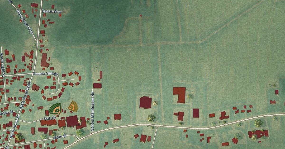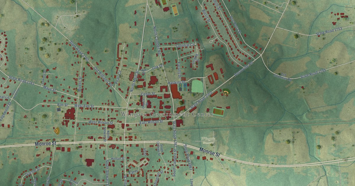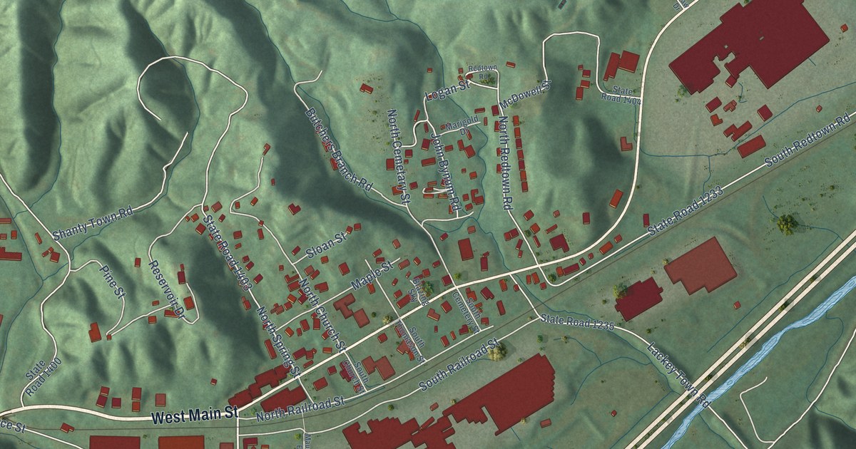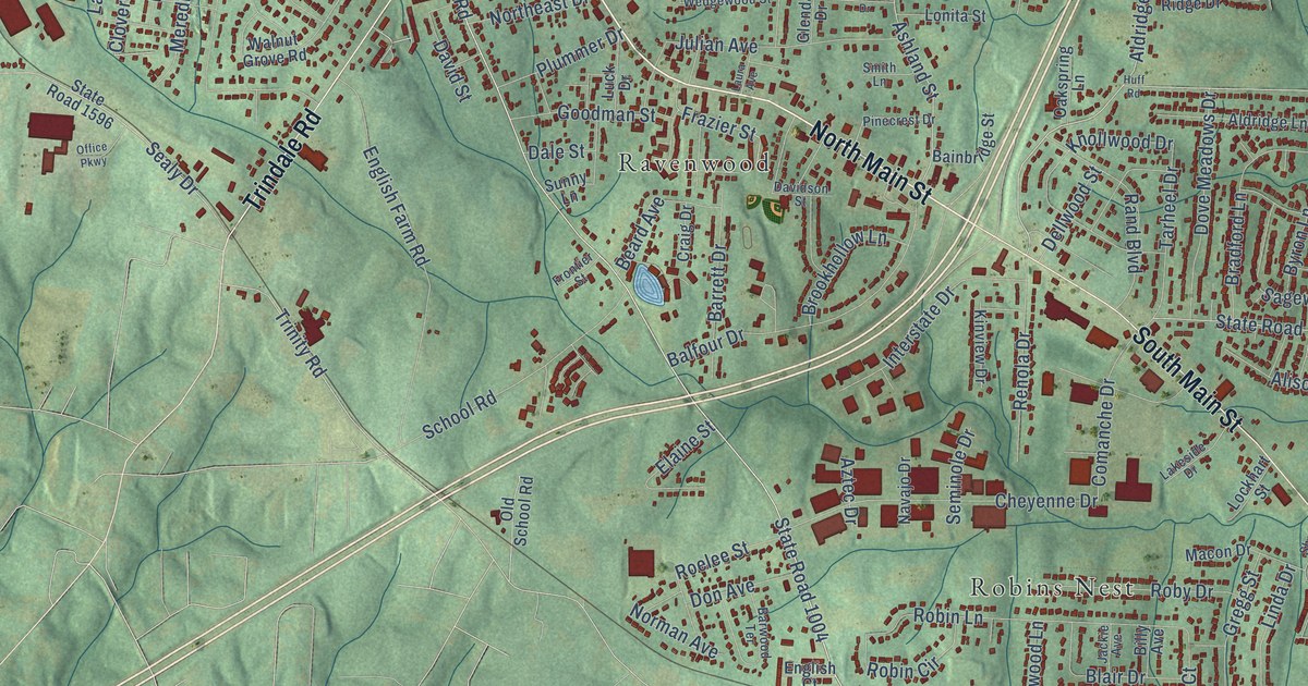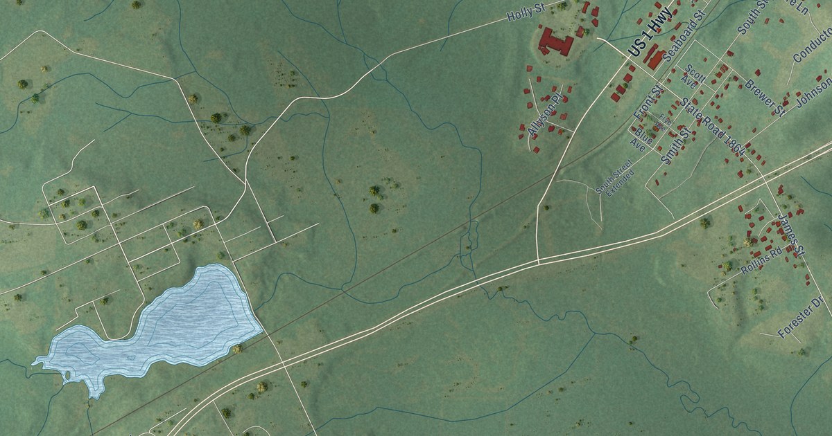
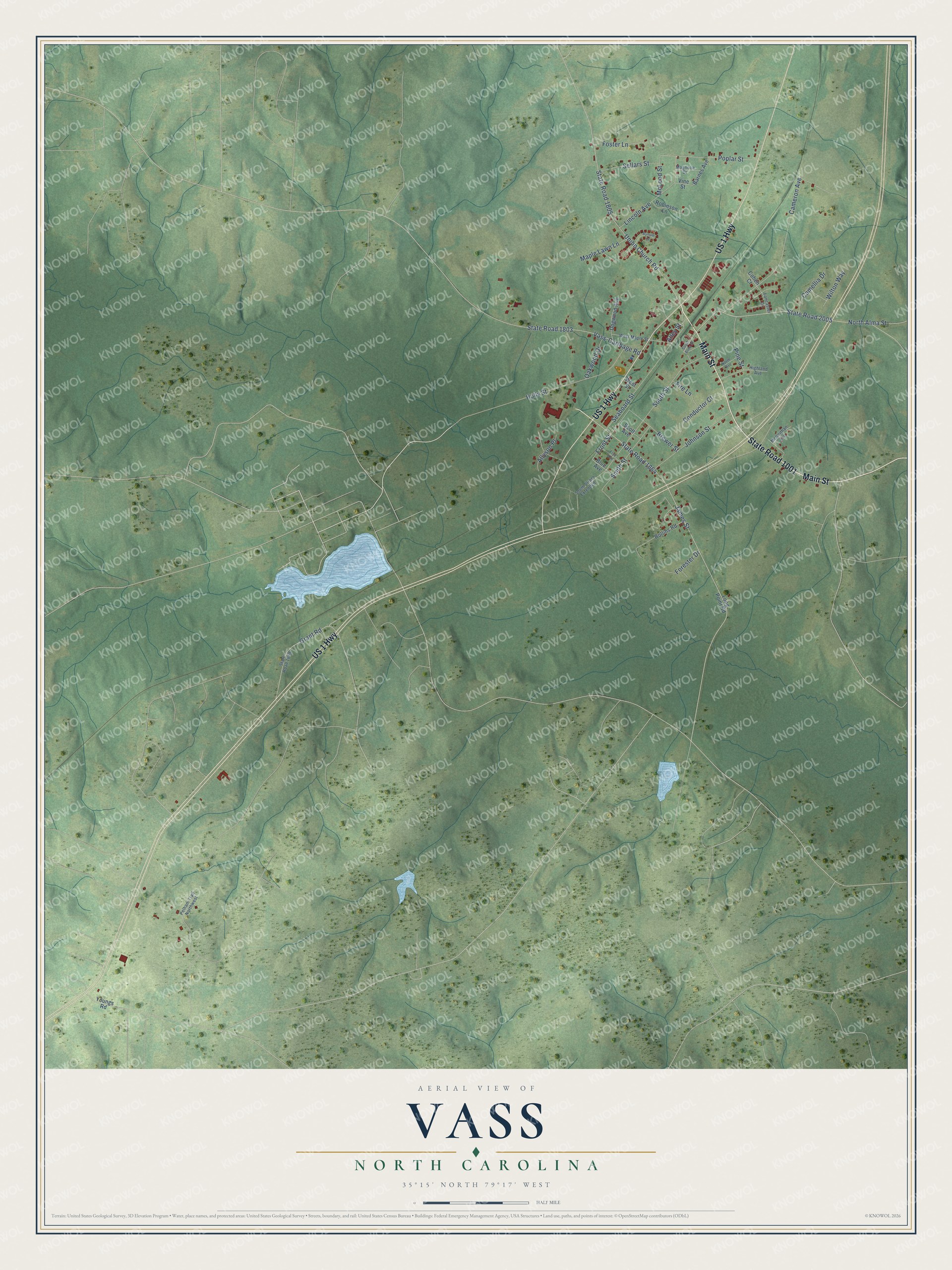
This beautifully detailed map of Vass, North Carolina was created in 2026 using aerial imagery combined with modern topographical, census, street and landmark data. It's a modern aerial view of Vass in Moore County, North Carolina, that combines modern data with a vintage aesthetic. The roads feature printed names, and if you look closely you can find your exact house accurately shown in its correct location.
Explore an aerial view of Vass, North Carolina
On this map you'll find Main Street, State Road 1001, Front Street, North Alma Street, James Street, State Road 1864, State Road 2005, Cameron Avenue, State Road 1805, Union Church Road, State Road 1803, Vass-Carthage Road, and more. Each red shape is a building, so zoom in on the preview and look for yours.
Vass has a story worth telling. The North Carolina Gazetteer puts it this way: "Vass town in E Moore County. Known as Winder, for an official of the Raleigh and Augusta Air Line Railroad, prior to 1907, when it was inc. with its present name. Named for William Worrell Vass (1820-96), treasurer of the Raleigh and Gaston Railroad, 1845-90."
Vass is a town in Moore County. The Census Bureau counted 952 people here in 2020.
Take a closer look at the Vass map
Names on this map
These names are printed on this map.
Streets and roads: Main Street, US 1 Highway, State Road 1001, Front Street, North Alma Street, James Street, State Road 1864, State Road 2005, Cameron Avenue, State Road 1805, Union Church Road, State Road 1803.
More street names, A to Z
Alley Street, Allyson Place, Barnes Avenue, Blue Avenue, Brewer Street, Bynum Court, Camellia Drive, Cohen Court, Conductor Court, Dogwood Avenue, Fire Lane, Forester Drive, Foster Lane, Frye Avenue, Grant Road, Highland Avenue, Holly Street, Johnson Street, Lancaster Drive, Lincoln Avenue, Long Point Road, Magnolia Drive, Maple Lawn Lane, McKeithan Avenue, McLeod Street, North Avenue, Oakwood Drive, Pelham Trail Northwest, Pine Street, Poplar Street, Robinson Lane, Rollins Road, Scott Avenue, Seaboard Street, Sellars Street, Smith Street, South Alma Street, South Street, South Street Extended, State Road 1869, Vass-Carthage Road, Vine Street, West Maple Street, West Street, Wilton Way, Youngs Road.
Created by KNOWOL in 2026. The buildings are small red shapes, the roads carry their printed names, and shaded relief shows the shape of the land. The title panel reads "AERIAL VIEW OF VASS NORTH CAROLINA" with 35°15' NORTH 79°17' WEST.
It looks right in a kitchen, an office or a den, and it's a gift for anyone who grew up in Vass or moved away. Open the preview and find your street. See sizes and frames for the Vass map.