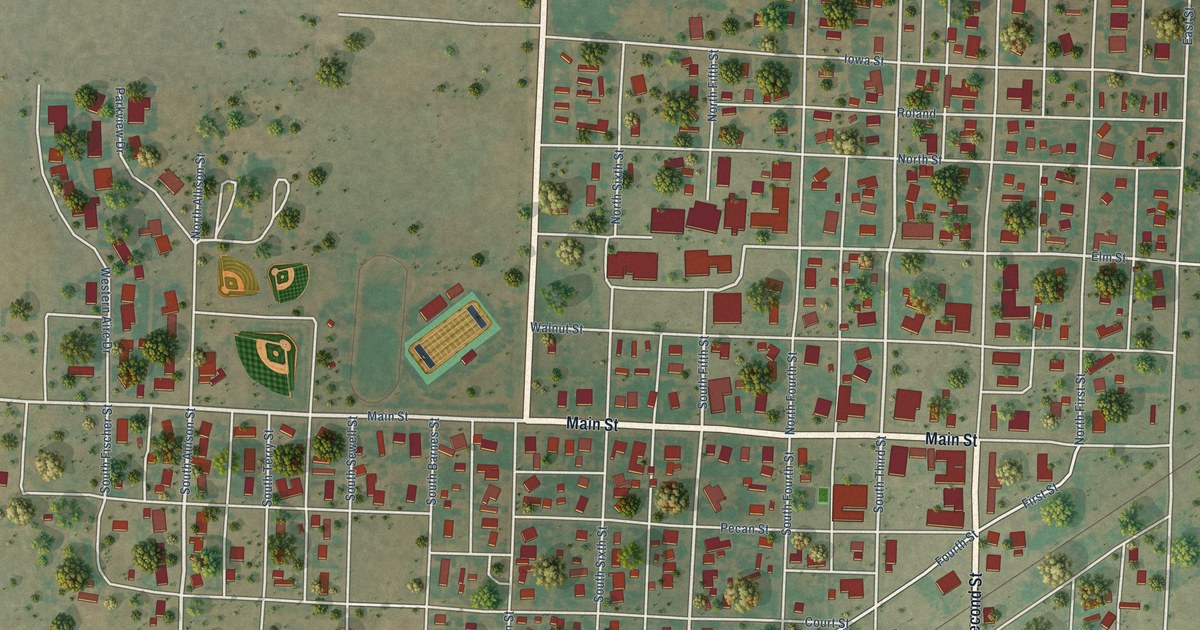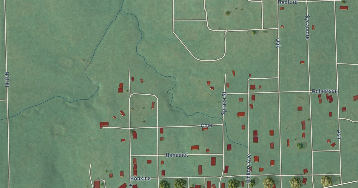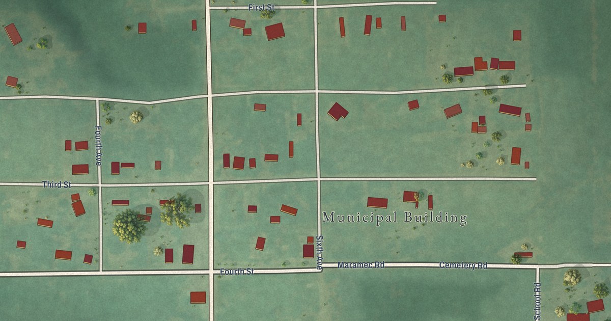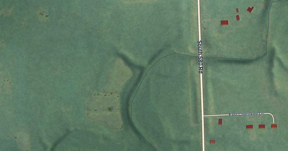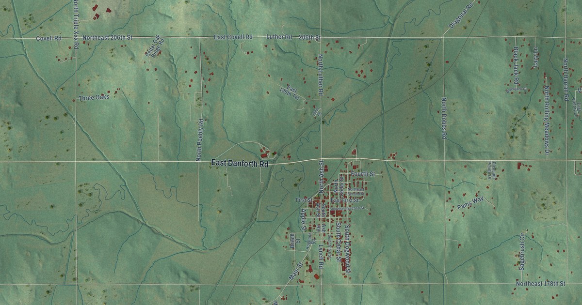
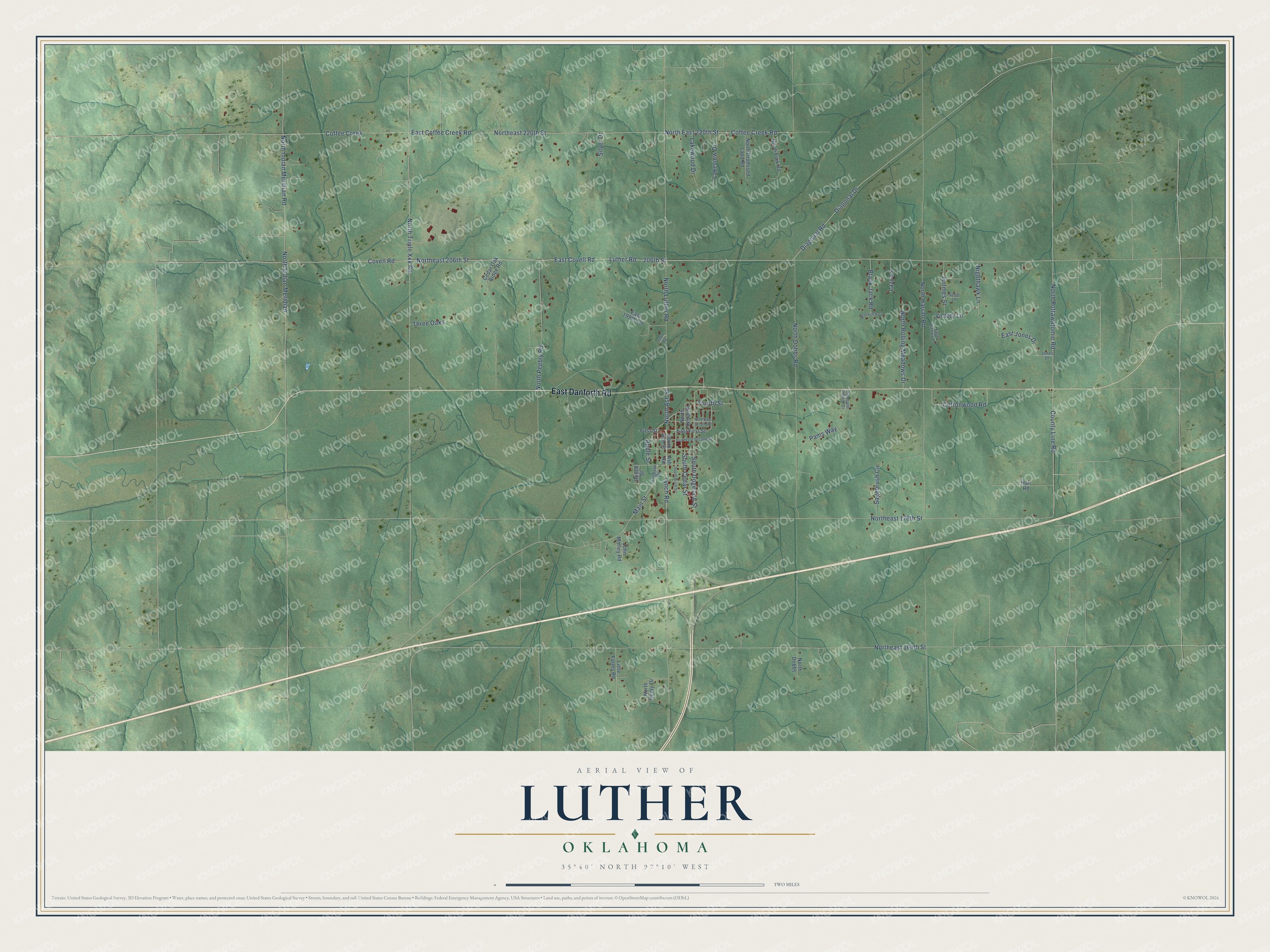
This beautifully detailed map of Luther, Oklahoma was created in 2026 using aerial imagery combined with modern topographical, census, street and landmark data. It's a modern aerial view of Luther in Oklahoma County, Oklahoma, that combines modern data with a vintage aesthetic. The roads feature printed names, and if you look closely you can find your exact house accurately shown in its correct location.
Explore an aerial view of Luther, Oklahoma
On this map you'll find East Danforth Road, Main Street, East Covell Road, 206th Street, Covell Road, Northeast 206th Street, Lynch Road, Diagonal Road, Luther Road, Diagonal Drive, Northeast 164th Street, Northeast 178th Street, and more. Each red shape is a building, so zoom in on the preview and look for yours.
Luther has a story worth telling. The record at okhistory.org puts it this way: "Aldrich purchased the land on which the town is located from John A. Blizzard on February 4, 1898, because it was on the right-of-way for the St. Louis and Oklahoma City Railroad (later the St. Louis and San Francisco Railway, or Frisco)."
Luther is a town in Oklahoma County.
Take a closer look at the Luther map
Names on this map
These names are printed on this map.
Streets and roads: East Danforth Road, Main Street, East Covell Road, 206th Street, Covell Road, Northeast 206th Street, Lynch Road, Diagonal Road, Luther Road, Diagonal Drive, Northeast 164th Street, Northeast 178th Street.
More street names, A to Z
199th Road, Apple Street, Ash Road, Beech Street, Blackjack Court, Black Jack Road, Cedar Oak Ridge Road, Coffee Creek, Coffee Creek Road, Cottonwood Road, County Line Road, East 199th Terrace, East Coffee Creek Road, East First Street, East Jones Drive, East Victory Lane, First Street, Fourth Street, Hall Road, Hogback Road, Holmes Street, John Morley Road, Jones Drive, Lakeview Drive, Lakewood Drive, Lazy Lane, Little Farms Road, Nighthawk Lane, North Ash Street, North Cedar Street, North Dobbs, North Dobbs Road, North East 220th Street, Northeast 220th Street, Northeast Second Street, North Fork Road, North Harrah Road, North Henry Drive, North Indian Meridian, North Indian Meridian Road, North Luther Road, North Peebly Road, North Pottawatomie Road, North Promised Land Road, North Rolling Meadows Drive, North Triple Xxx Road, Pams Way, Pleasant Pointe Drive, Sagebrush Circle, Scott Lane, Silver Drive, South Ash Street, South Birch Street, South Cedar Street, South Dogwood Street, Southeast Second Street, Three Oaks, Victory Lane.
Created by KNOWOL in 2026. The buildings are small red shapes, the roads carry their printed names, and shaded relief shows the shape of the land. The title panel reads "AERIAL VIEW OF LUTHER OKLAHOMA" with 35°40' NORTH 97°10' WEST.
It looks right in a kitchen, an office or a den, and it's a gift for anyone who grew up in Luther or moved away. Open the preview and find your street. See sizes and frames for the Luther map.