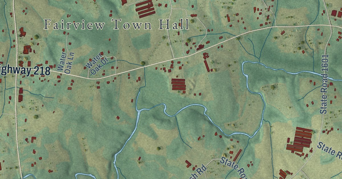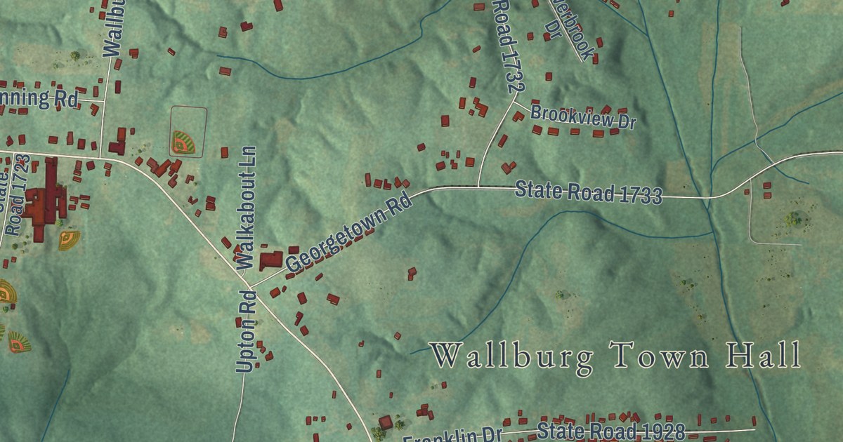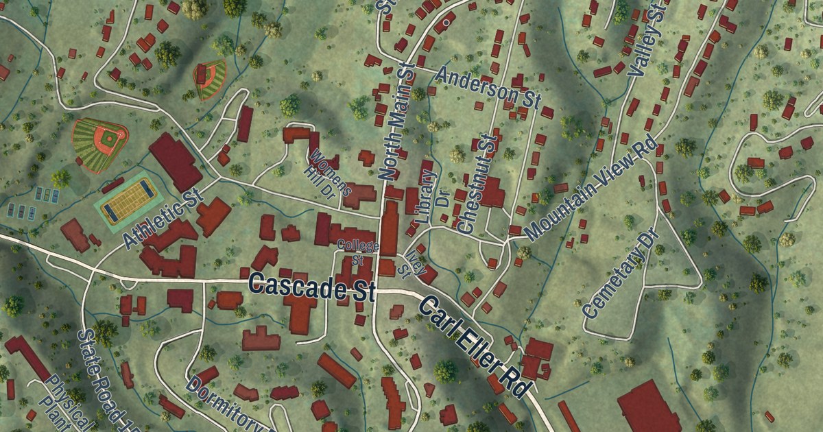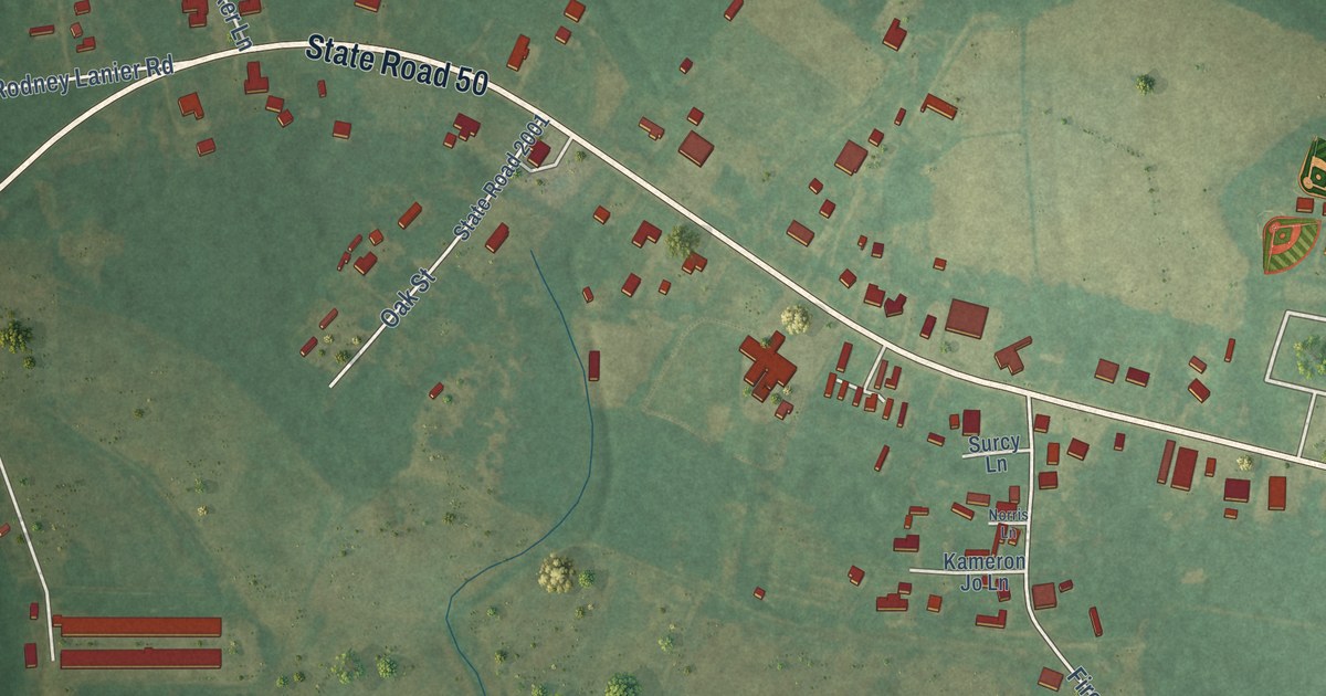
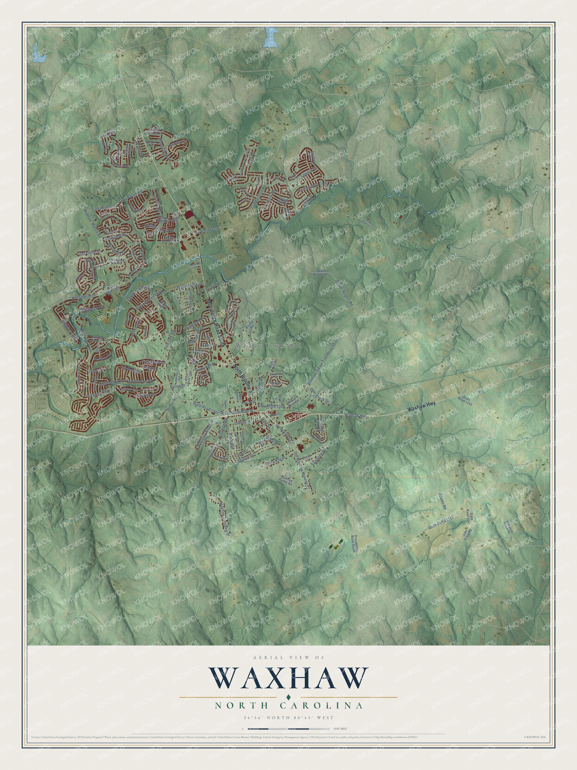
This beautifully detailed map of Waxhaw, North Carolina was created in 2026 using aerial imagery combined with modern topographical, census, street and landmark data. It’s a one-of-a-kind view of Waxhaw that combines accurate data with a vintage aesthetic. The map shows every building in its true location, many of the roads carry their names, and the shaded topographic relief shows the shape of the land.
Explore an aerial view of Waxhaw, North Carolina
On the map you’ll find Waxhaw Town Hall, along with Waxhaw Highway, North Broome Street, East South Main Street, West South Main Street, Providence Road South, Waxhaw Indian Trail Road South, Kensington Drive, State Road 1305, Antique Circle, State Road 1008, Blythe Mill Road, and more. If you look closely you can even find your house accurately drawn in its correct location. Zoom in on the preview to look for yours.
Did you know this about Waxhaw, North Carolina?
From the Town of Waxhaw: "The RJ Belk Store, now home to the Waxhaw Women's Club, housed one of the first Belk Stores and is likely the oldest Belk structure in existence."
Take a closer look at the Waxhaw map
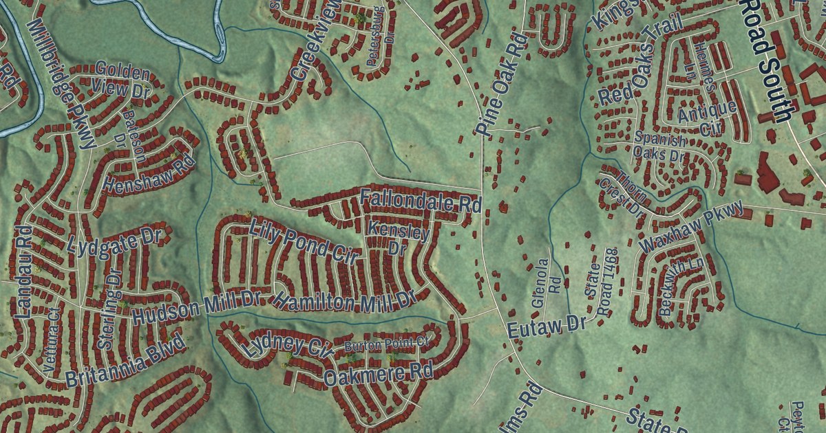
Street and place names on the Waxhaw, North Carolina map
These names are printed on the map of Waxhaw, North Carolina.
Places: Waxhaw Town Hall.
Streets and roads: Waxhaw Highway, North Broome Street, Providence Road South, Kensington Drive, Grover Rogers Road, West North Main Street, State Road 1301, Waxhaw-Marvin Road, State Road 1111, Old Waxhaw Monroe Road, State Road 1008, Millbridge Parkway.
More street names, A to Z
Adams Road, Anklin Forrest Drive, Anne Avenue, Antique Circle, Arbor Drive, Arsdale Road, Ashley River Road, Autumn Ridge Drive, Barclay Drive, Bateson Drive, Beckwith Lane, Bevis Lane, Blackburn Drive, Blythe Mill Road, Blythe Road, Bridgewick Road, Brisbin Drive, Britannia Boulevard, Brough Hall Drive, Burton Point Court, Chatooka Lane, Collaroy Road, Coltsgate Road, Creekview Drive, Crewe Hall Lane, Cuthbertson Road, Dargan Lane, Deer Creek Drive, Denholme Drive, Essaw Road, Eutaw Drive, Exbury Gardens Drive, Fairgreen Avenue, Fallondale Road, Givens Street, Glenola Road, Golden View Drive, Gray Byrum Road, Great Road, Hamilton Mill Drive, Helms Road, Henshaw Road, Hermes Lane, Hermitage Place Drive, Hoffmeister Drive, Howie Mine Road, Howie Street, Hudson Mill Drive, Jackson Avenue, John Craig Road, Kemble Street, Kensington Park Way, Kensley Drive, Kingston Drive, King Street, Landau Road, Lawson Drive, Lightwood Road, Lily Pond Circle, Linda Kay Drive, Lydgate Drive, Lydney Circle, Magnolia Ridge Drive, Majestic Poplar Drive, Maywood Path, McPherson Street, Merryvale Way, Miller Drive, Mills Street, Morehouse Drive, Nightingale Road, North Broad Street, Oak Grove Place, Oakmere Road, Old Providence Road, Olin Drive, Oxford Mill Road, Parkwood School Road, Pearl Street, Pearmain Drive, Penman Springs Drive, Petersburg Drive, Peyton Court, Pine Oak Road, Poplar Grove Circle, Prescot Glen Parkway, Price Street, Prickly Lane, Red Oaks Trail, Rehobeth Road, Ridgehaven Road, Ringtail Drive, Riverbank Road, River Oaks Drive, Sandberry Drive, Screech Owl Road, Shadowbrook Road, Sharon Drive, Shute, Ski Trail Lane, Soaring Eagle Lane, Southcliff Drive, Southern Trace Drive, Spanish Oaks Drive, State Road 1107, State Road 1141, State Road 1143, State Road 1304, State Road 1305, State Road 1306, State Road 1307, State Road 1321, State Road 1323, State Road 1324, State Road 1468, Sterling Drive, Sunset Hill Road, Surveyor General Drive, Taviston Drive, Thayer Drive, Thorn Crest Drive, Trace Creek Drive, Trading Path Lane, Twinberry Lane, Vettura Court, Wall Street, Waterbell Lane, Waxhaw Crossing Drive, Waxhaw Farms Road, Waxhaw Indian Trail Road South, Waxhaw Parkway, White Cedar Lane, Whitehawk Hill Road, Widgeon Way, Willow Branch Drive, Yamasee Road.
See the Waxhaw, North Carolina map on a wall
The Waxhaw map as an 18 x 24 inch print in a black frame.

This beautifully detailed map of Waxhaw makes an attractive addition to your office, library, or den, and it can even be used to teach children the geography and history of the area. It also makes a great gift for someone who left Waxhaw and still calls it home. When you’re done exploring, click here to get your copy of the Waxhaw map.