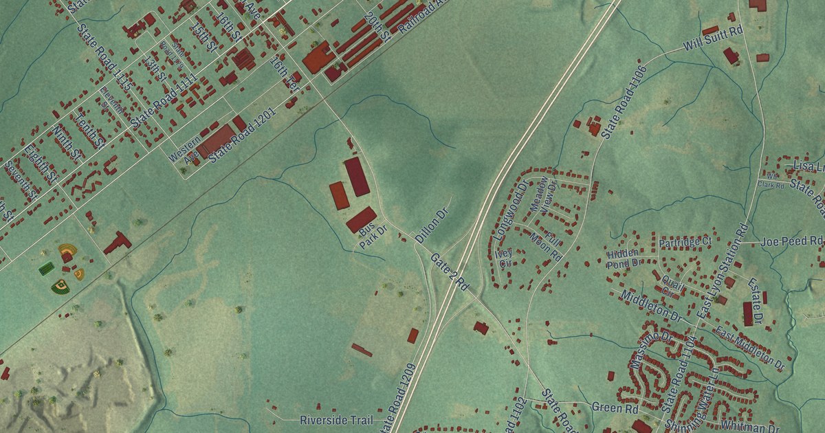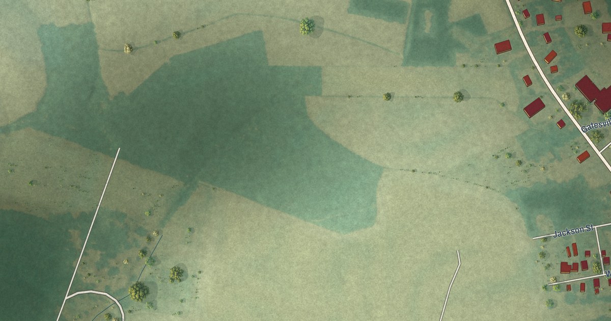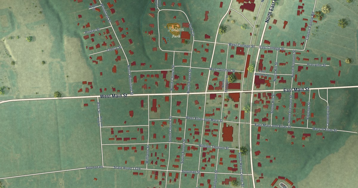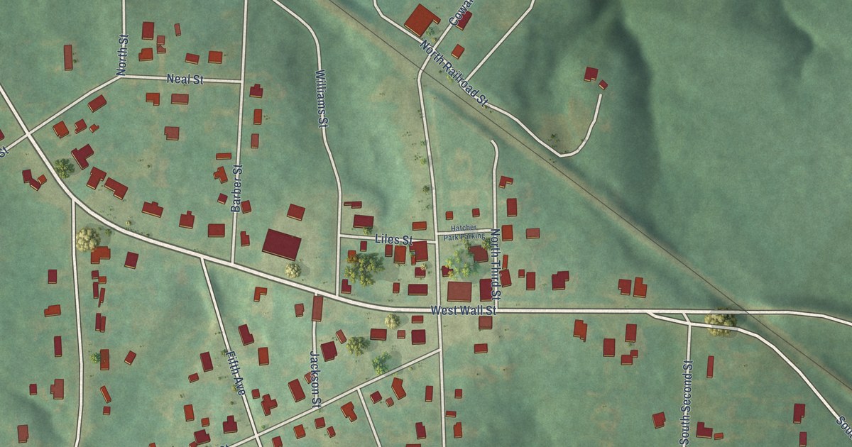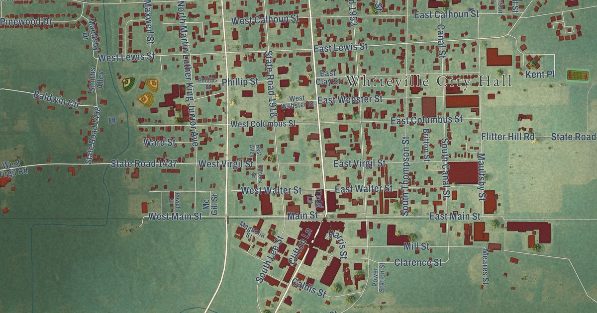
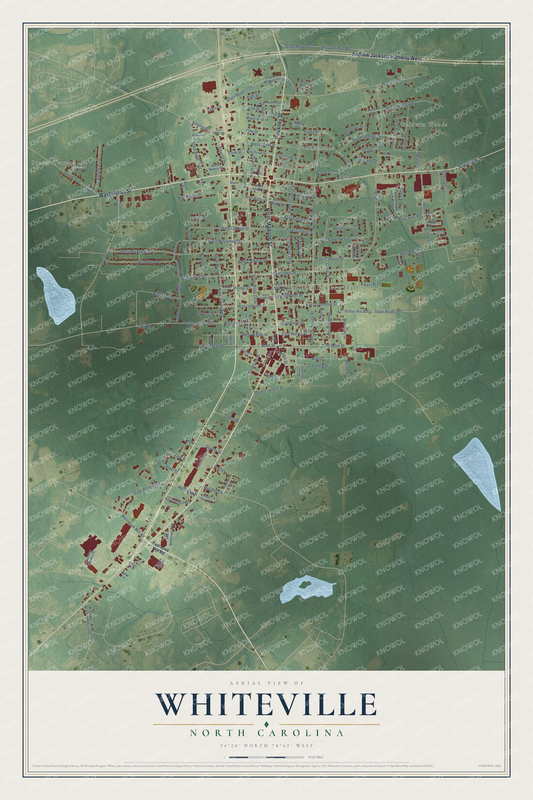
This beautifully detailed map of Whiteville, North Carolina was created in 2026 using aerial imagery combined with modern topographical, census, street and landmark data. It's a modern aerial view of Whiteville in Columbus County, North Carolina, that combines modern data with a vintage aesthetic. The roads feature printed names, and if you look closely you can find your exact house accurately shown in its correct location.
Explore an aerial view of Whiteville, North Carolina
On this map you'll find Whiteville City Hall, Sunset Terrace, Baldwin Woods, South Whiteville, Runnymeade, McKenzie Woods, North Madison Street, Washington Street, Pinckney Street, Jefferson Street, Andrew Jackson Highway West, East Lewis Street, and more. Each red shape is a building, so zoom in on the preview and look for yours.
Whiteville has a story worth telling. The National Register of Historic Places puts it this way: "About a mile south of the courthouse stood Whiteville's train depot, so removed from town because residents did not want the noise of the trains bothering their livestock."
Whiteville is a city in Columbus County. The Census Bureau counted 4,766 people here in 2020.
Take a closer look at the Whiteville map
Names on this map
These names are printed on this map.
Places: Whiteville City Hall, Sunset Terrace, Baldwin Woods, South Whiteville, Runnymeade and McKenzie Woods.
Streets and roads: North Madison Street, Washington Street, Pinckney Street, Jefferson Street, Andrew Jackson Highway West, East Lewis Street, West Love Mill Road, West Lewis Street, State Road 1433, West Hay Street, Sunset Avenue, Tram Road.
More street names, A to Z
Alligator Run Road, Anderson Street, Ann Street, Autumn Trail, Baldwin Circle, Bentmoor Drive, Best Alley, Blue Jean Road, Bob White Lane, Brickyard Road, Britton Street, Bryce Street, Caldis Street, Canal Street, Clarence Street, Clifton Lane, Columbus Corners Drive, Covey Run Lane, Davis Avenue, Duval Street, East Calhoun Street, East Church Street, East Clay Street, East College Street, East Columbus Street, East Frink Street, East Hay Street, East Love Mill Road, East Main Street, East Oliver Street, East Smith Street, East Virgil Street, East Walter Street, East Webster Street, East Wyche Street, Edgewood Circle, Elm Street, Ernest Lane, Fairfax, First Avenue, Flitter Hill Road, Flowers Pridgen Road, Forest Drive, Forrest Drive, Frink Street, Fuller Street, Garrell Street, Green Hill Drive, Grove Street, Halls Lane, Harris Street, High Street, Hill Plaza, Holly Circle, Homestead Park Drive, Hunt Street, James Street, Jewel Street, Jones Place, Jordan Lane, Kent Place, Knights Cv, Legion Drive, Lennon Street, Leslie Newsome Avenue, Liberty Street, Little Street, Magnolia Street, Main Street, Maple Street, Marlowe Avenue, Mary Lane, Maultsby Drive, Maultsby Street, Maxwell Street, Mc Gill Street, McKenzie Street, Meares Street, Memory Plaza, Miller Circle, Mill Pond Road, Mill Street, Moore Street, Nance Street, Nolan Avenue, North Franklin Street, North Lee Street, North Martin Luther King Junior Avenue, North Thompson Street, Oak Street, Ole Farm Trail, Olive Drive, Parkwood Drive, Pecan Lane, Phillips Street, Phillip Street, Pine Street, Pinewood Drive, Powell Street, Power Station Street, Quality Street, Radio Station Road, Richardson Street, Sandy Ridge, Sellers Street, Smiths Alley, Smith Street, Smyrna Drive, Smyrna Road, South Canal Street, South Franklin Street, South Lee Street, South Thompson Street, Spivey Road, Spruce Street, Stanley Street, State Road 1166, State Road 1437, State Road 1438, State Road 1439, State Road 1442, State Road 1552, State Road 1554, State Road 1567, State Road 1705, State Road 1706, State Road 1743, State Road 1753, State Road 1916, State Road 1953, State Road 1955, Talbot Street, Tison Trail, Todd Lane, Tucker Street, Vineland Drive, Vine Street, Ward Street, Warrior Trail, West Burkhead Street, West Calhoun Street, West College Street, West Columbus Street, West Frink Street, West Main Street, West Nance Street, West Oliver Street, West Smith Street, West Virgil Road, West Virgil Street, West Walter Street, West Webster Street, West Williamson Street, West Wyche Street, Wheeler Street, Williamson Street, Woodfield Road, Woodland Drive.
Created by KNOWOL in 2026. The buildings are small red shapes, the roads carry their printed names, and shaded relief shows the shape of the land. The title panel reads "AERIAL VIEW OF WHITEVILLE NORTH CAROLINA" with 34°20' NORTH 78°42' WEST.
It looks right in a kitchen, an office or a den, and it's a gift for anyone who grew up in Whiteville or moved away. Open the preview and find your street. See sizes and frames for the Whiteville map.