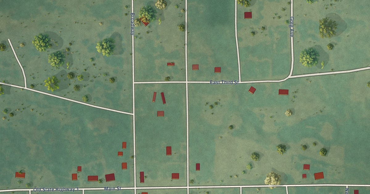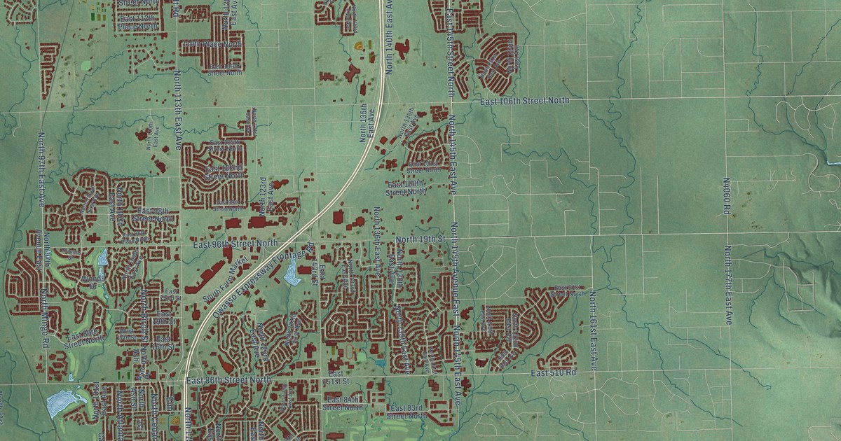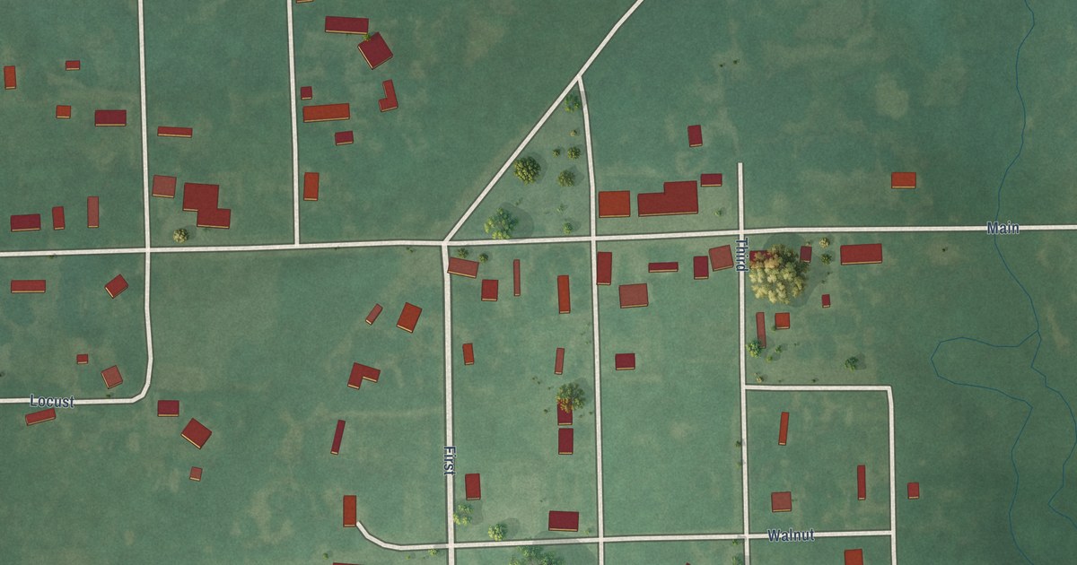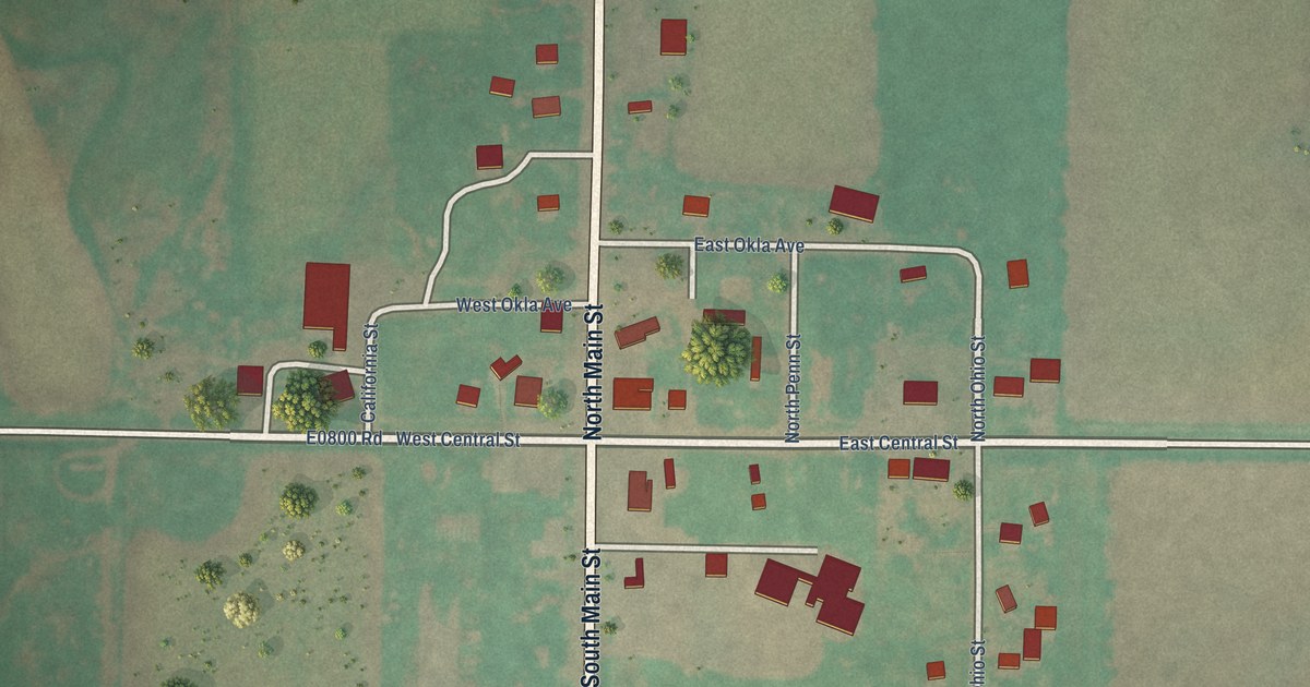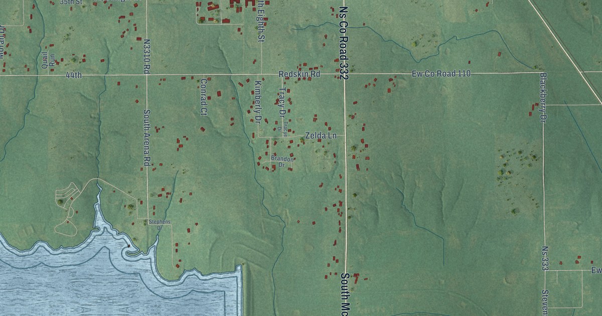
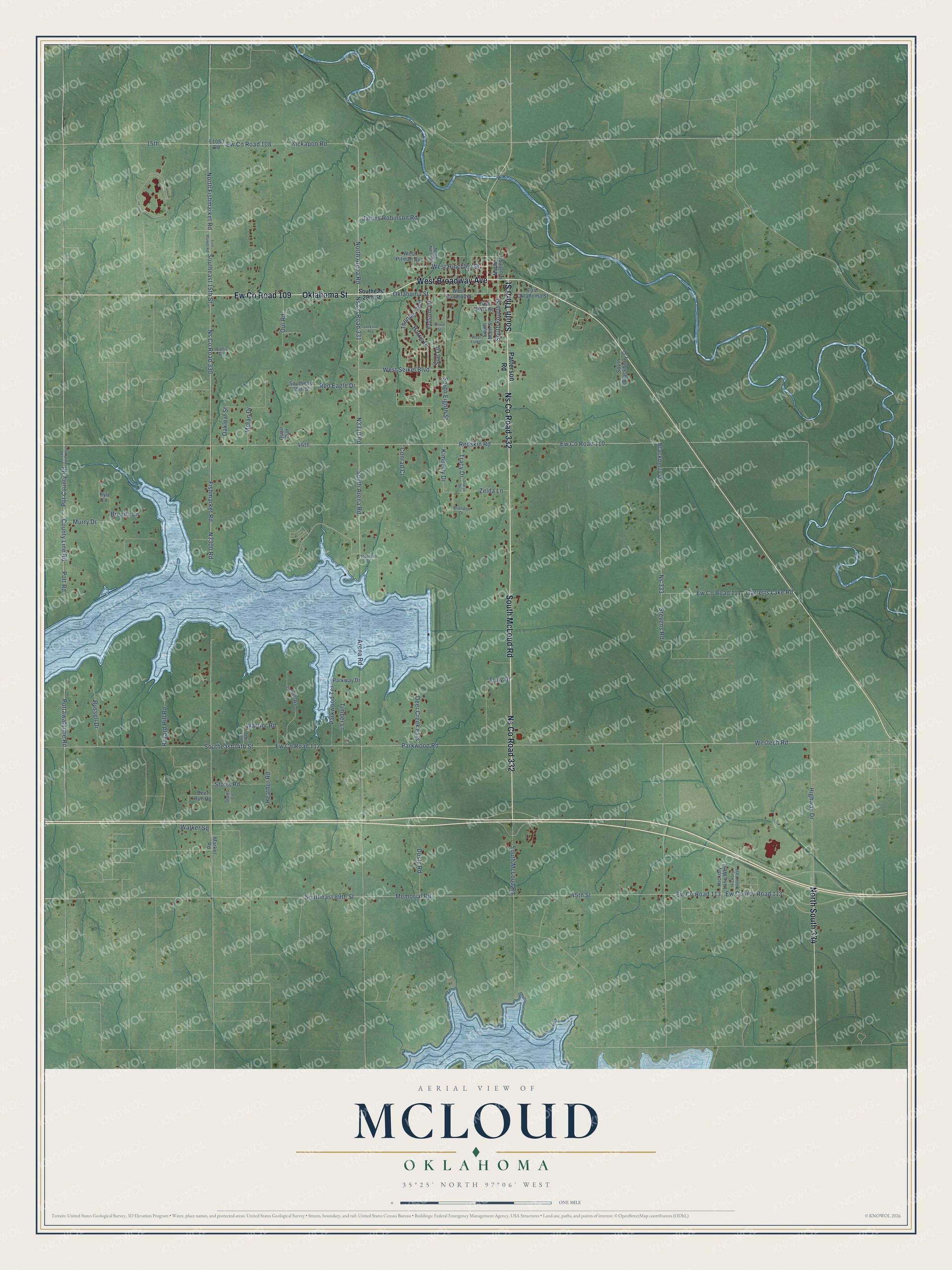
This beautifully detailed map of McLoud, Oklahoma was created in 2026 using aerial imagery combined with modern topographical, census, street and landmark data. It's a modern aerial view of McLoud in Pottawatomie County, Oklahoma, that combines modern data with a vintage aesthetic. The roads feature printed names, and if you look closely you can find your exact house accurately shown in its correct location.
Explore an aerial view of McLoud, Oklahoma
On this map you'll find Ew Co Road 109, Oklahoma Street, West Broadway Avenue, South McLoud Road, South Third Street, Ns Co Road 332, North South 334, Westech Road, North Fishmarket Road, North Arena Road, Parkwood Road, Kickapoo Road, and more. Each red shape is a building, so zoom in on the preview and look for yours.
Here is a piece of McLoud history, in the words of the record. The record at okhistory.org puts it this way: "The McCloud post office, named after railroad attorney John William McLoud, was established in June 1895, and the spelling was changed to McLoud in October 1895."
McLoud is a city in Pottawatomie County.
Take a closer look at the McLoud map
Names on this map
These names are printed on this map.
Streets and roads: Ew County Road 109, Oklahoma Street, West Broadway Avenue, South McLoud Road, South Third Street, Ns County Road 332, North South 334, Westech Road, North Fishmarket Road, North Arena Road, Parkwood Road, Kickapoo Road.
More street names, A to Z
15th, 44th, 45th Street, Arena Road, Blackberry Drive, Brandon Drive, Brenda Lane, Conrad Court, County Line Road, Countyline Road, Deer Creek Ests, Deer Run Road, Dusty Road, East Oklahoma Street, East Park Street, Ew County Road 108, Ew County Road 110, Ew County Road 111, Ew County Road 112, Ew County Road 113, Fishmarket Road, Fish Market Road, Folsom Drive, Garretts Lake Road, Harris Drive, Hazard Hill Road, Heather Road, Hickory Lane East, Hickory Lane West, Highway Drive, Jackson Avenue, James Robinson Road, Kimberly Drive, Kyle Lane, Market Road, Memorial Road, Moran Drive, Murry Drive, North Fourth Street, North Ninth Street, Ns 333, Ns County Road 330, Ns County Road 331, Oakleaf Street, Our Road, Parkway Drive, Parkwood Terrace, Patterson Road, Pot County Road, Pottawatomie Road, Pott Road, Quail Run, Red Eagle Drive, Redskin Road, Russell Drive, South Arena Road, South Blackberry Drive, Southeast 15th Street, Southeast 29th Street, Southeast 35th Street, Southeast 74th Street, Southeast 89th Street, South Eighth Street, South Fourth Street, South Main Street, Steed Street, Stephens Drive, Stevens Road, Stotts Circle, Stotts Road, Sue Lane, Thomas Boulevard, Timberlake Drive, Timber Lane, Tony Drive, Tracy Drive, Tracye Drive, Trail End, Walker Square, Wallis Drive, Warrior Road, West Forest, West Hinchley Street, West Oklahoma, West Pitman Avenue, West Seikel Boulevard, Zelda Lane.
Created by KNOWOL in 2026. The buildings are small red shapes, the roads carry their printed names, and shaded relief shows the shape of the land. The title panel reads "AERIAL VIEW OF MCLOUD OKLAHOMA" with 35°25' NORTH 97°06' WEST.
It suits a den, a classroom or a front hall, and it makes a gift for anyone with McLoud roots. Open the preview and find the block you know. See sizes and frames for the McLoud map.