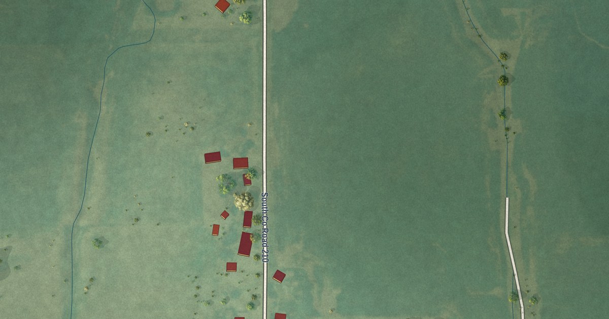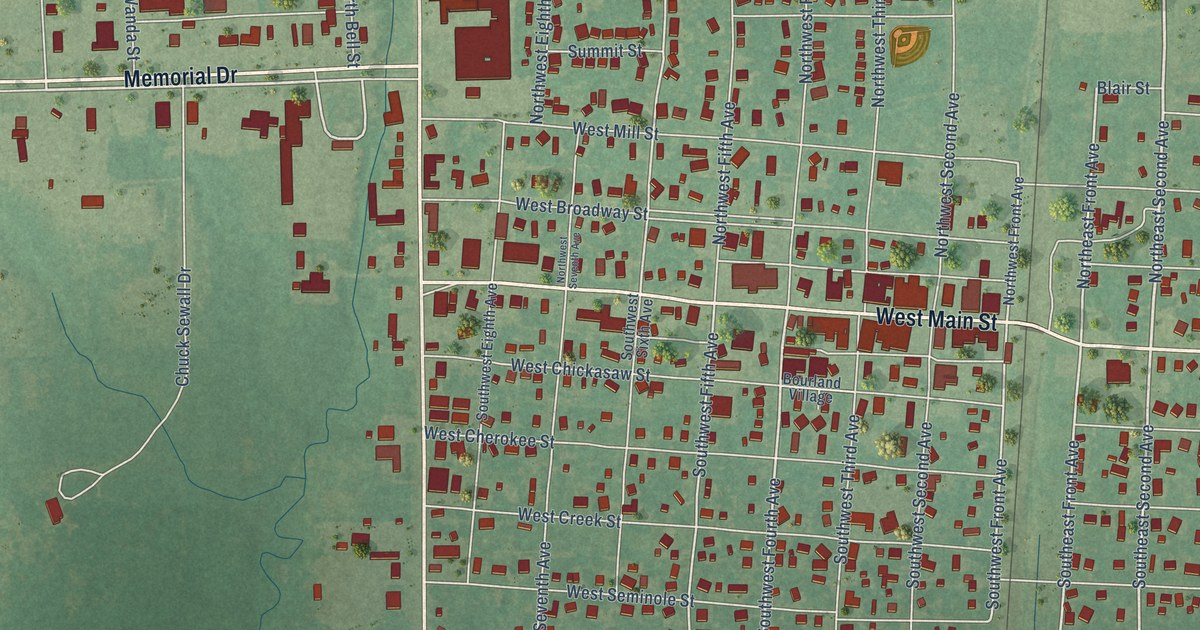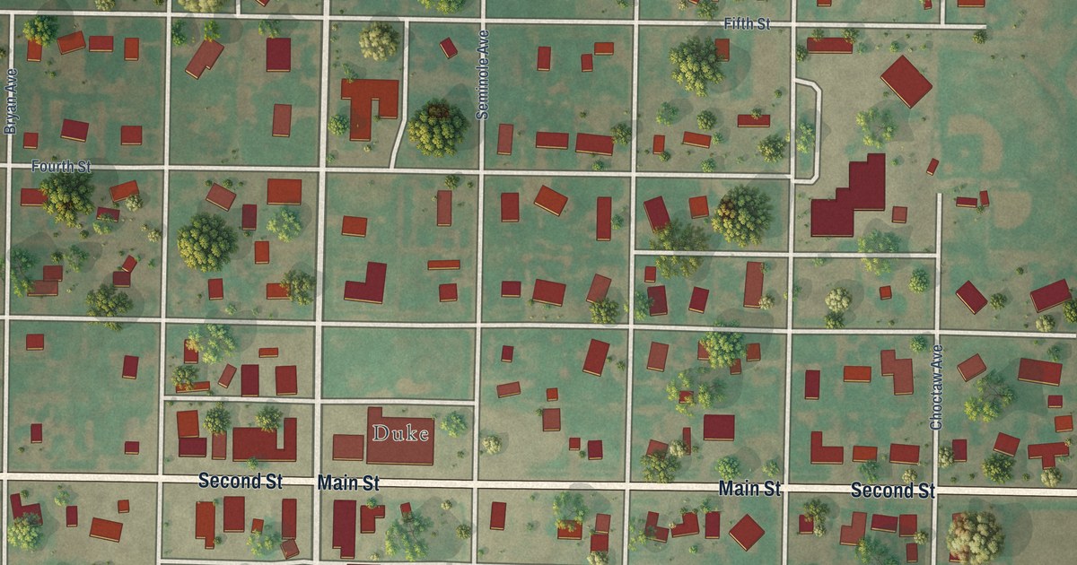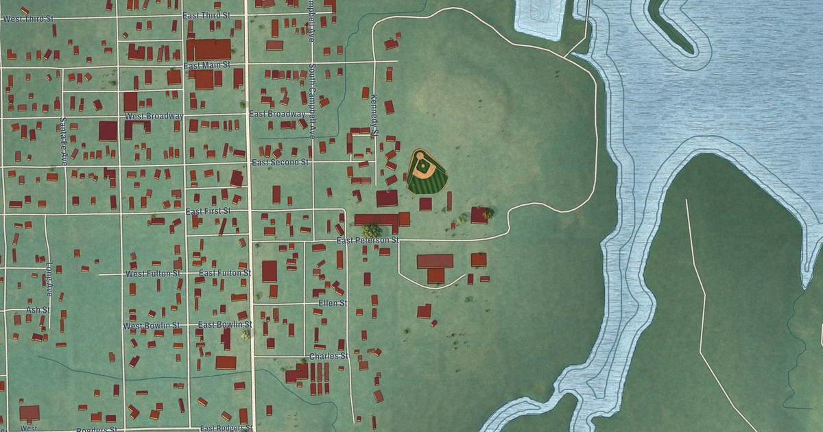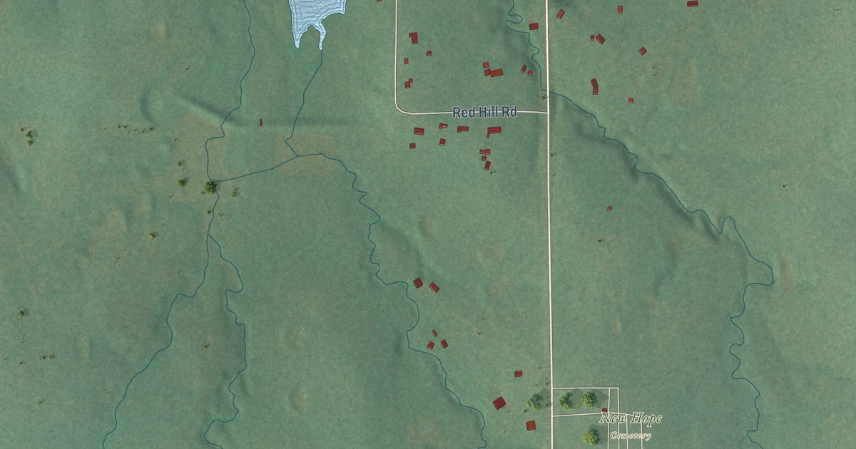
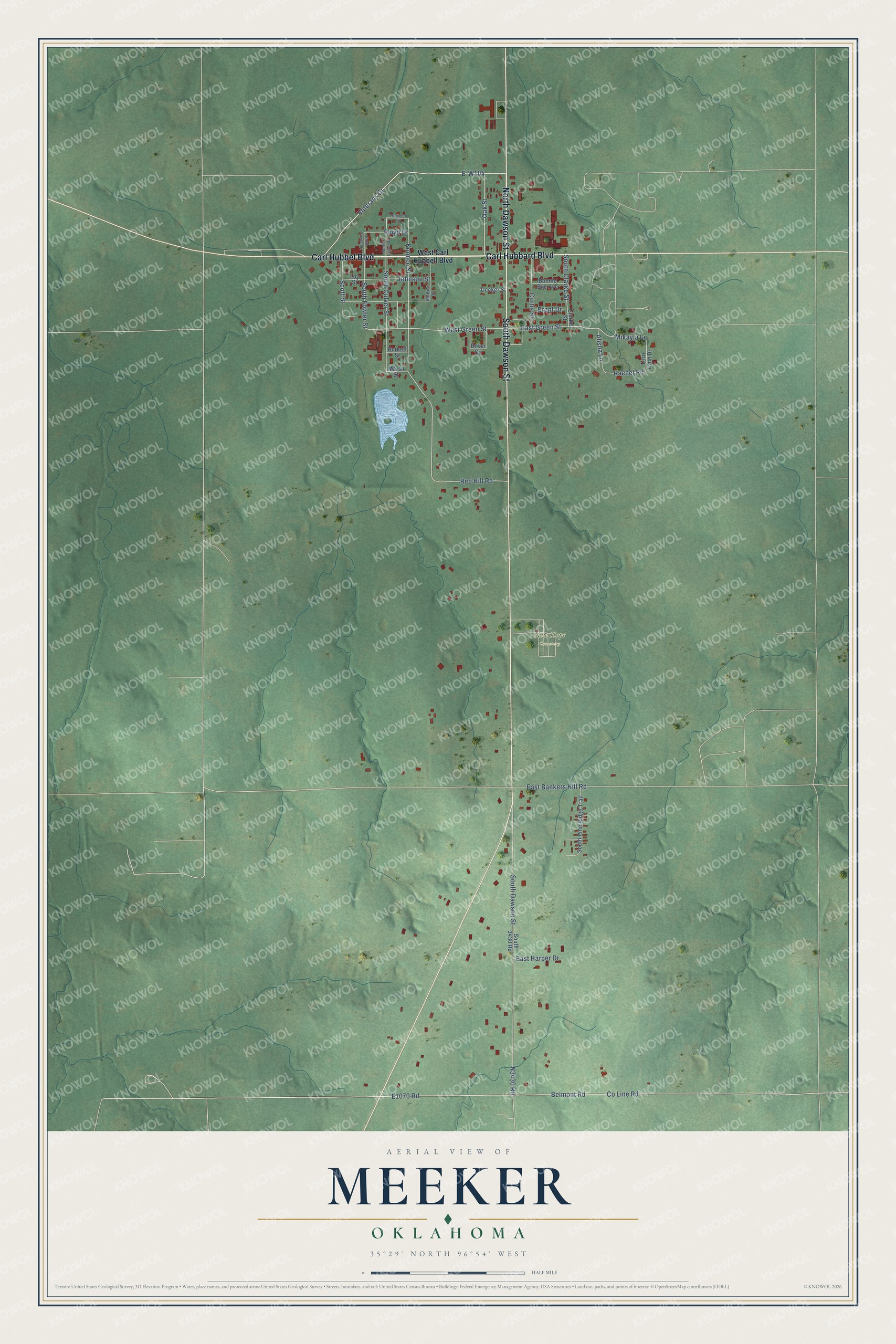
This beautifully detailed map of Meeker, Oklahoma was created in 2026 using aerial imagery combined with modern topographical, census, street and landmark data. It's a modern aerial view of Meeker in Lincoln County, Oklahoma, that combines modern data with a vintage aesthetic. The roads feature printed names, and if you look closely you can find your exact house accurately shown in its correct location.
Explore an aerial view of Meeker, Oklahoma
On this map you'll find New Hope Cemetery, Carl Hubbel Boulevard, North Dawson Street, Carl Hubbard Boulevard, South Dawson Street, Veterans Drive, South Fowler Street, E-W104, West Green Street, East Green Street, Oak Street, Mikayla Lane, and more. Each red shape is a building, so zoom in on the preview and look for yours.
Meeker has a story worth telling. The record at okhistory.org puts it this way: "However, when the Atchison, Topeka and Santa Fe Railway built a branch from Shawnee to Arkansas City, it bypassed Clifton and ran through the site of present Meeker, about two miles distant."
Meeker is a town in Lincoln County.
Take a closer look at the Meeker map
Names on this map
These names are printed on this map.
Places: New Hope Cemetery.
Streets and roads: Carl Hubbel Boulevard, North Dawson Street, Carl Hubbard Boulevard, South Dawson Street, Veterans Drive, South Fowler Street, West Green Street, East Green Street, Oak Street, Mikayla Lane, South Clarke Street, Koonce Street.
More street names, A to Z
Alisha Lane, Belmont Road, Bonnie Sue Avenue, Brent Drive, Burkett Street, Clarke Street, County Line Road, Curtis Street, Decker Street, Dover Circle, East Bankers Hill Road, East Harper Drive, Floyd Drive, Johnson Street, Loy Street, Marsh Street, McKee Street, North Culver Street, North Fowler Street, Rachel Road, Red Hill Road, Scott Street, South 3430 Road, South Culver Street, South Pine Ridge Trail, Terri Lynn Drive, Trammell Street, West Carl Hubbell Boulevard.
Created by KNOWOL in 2026. The buildings are small red shapes, the roads carry their printed names, and shaded relief shows the shape of the land. The title panel reads "AERIAL VIEW OF MEEKER OKLAHOMA" with 35°29' NORTH 96°54' WEST.
It looks right in a kitchen, an office or a den, and it's a gift for anyone who grew up in Meeker or moved away. Open the preview and find your street. See sizes and frames for the Meeker map.