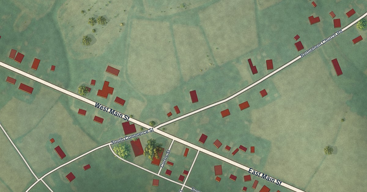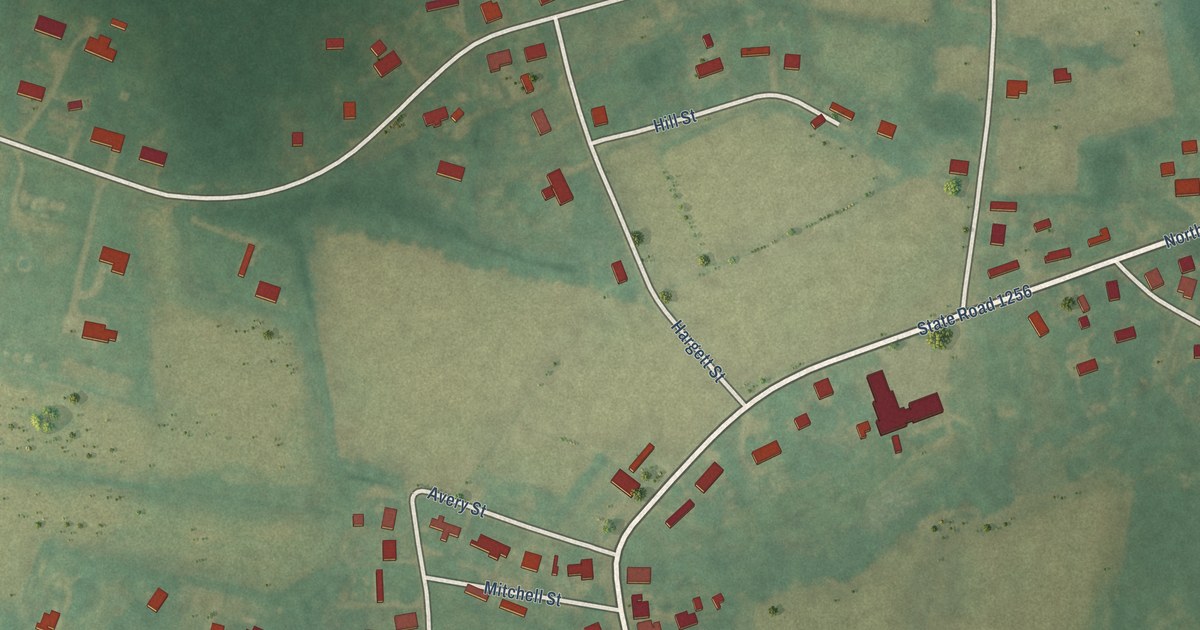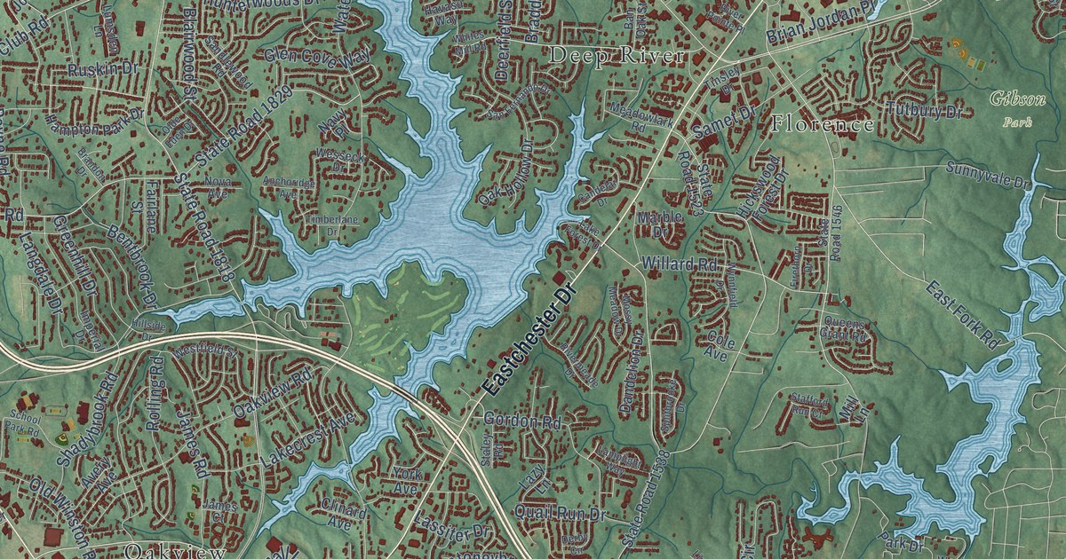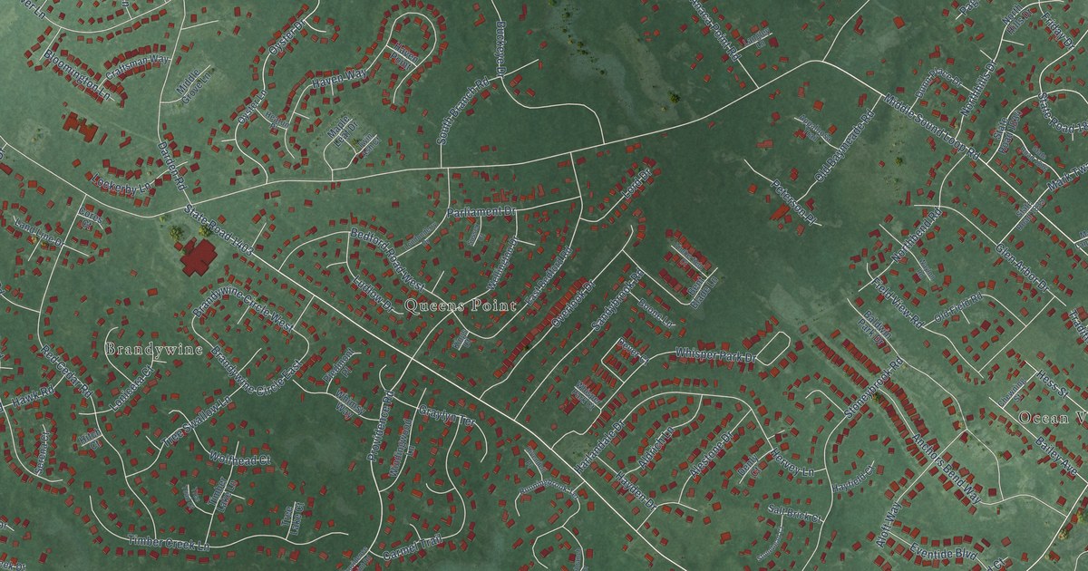
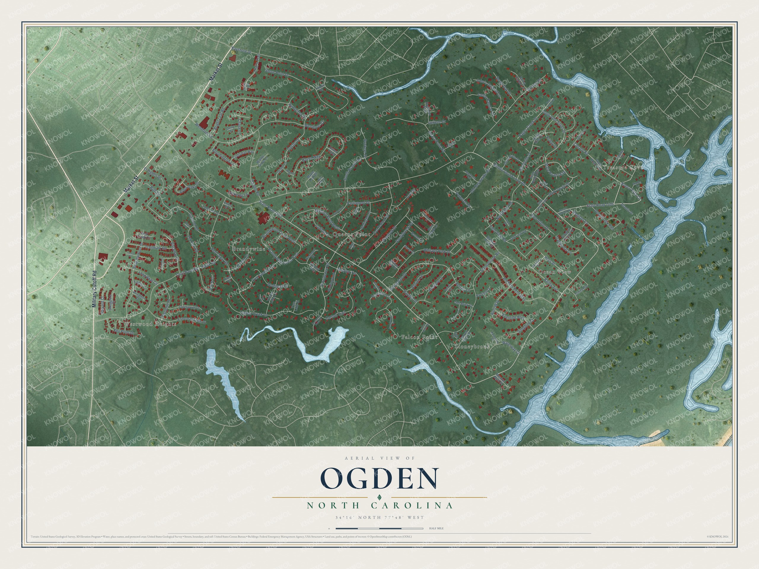
This beautifully detailed map of Ogden, North Carolina was created in 2026 using aerial imagery combined with modern topographical, census, street and landmark data. It's a modern aerial view of Ogden in New Hanover County, North Carolina, that combines modern data with a vintage aesthetic. The roads feature printed names, and if you look closely you can find your exact house accurately shown in its correct location.
Explore an aerial view of Ogden, North Carolina
On this map you'll find Westwood Heights, Treasure Cove, Brandywine, Falcon Point, Ocean View, Queens Point, Stoneybrook, Market Street, Military Cutoff Road, State Road 1404, Buena Vista Circle, State Road 1403, and more. Each red shape is a building, so zoom in on the preview and look for yours.
Ogden is a community in New Hanover County. The Census Bureau counted 8,200 people here in 2020. The map prints the town name in its title panel, with the coordinates below it.
Take a closer look at the Ogden map
Names on this map
These names are printed on this map.
Places: Westwood Heights, Treasure Cove, Brandywine, Falcon Point, Ocean View, Queens Point and Stoneybrook.
Streets and roads: Market Street, Military Cutoff Road, State Road 1404, Buena Vista Circle, State Road 1403, Providence Road, Middle Sound Loop Road, Shore Point Drive, Wendover Lane, Red Cedar Road, Covil Farm Road, Stoneybrook Road.
More street names, A to Z
Acer Court, Aldrich Lane, Alestone Drive, Aloft Way, Anaca Point Road, Anchors Bend Way, Appaloosa Trail, Arbor Oaks Drive, Atlantic Drive, Bailey Avenue, Bailey Harbor Lane, Baldwin Park Drive, Barren Inlet Road, Bayshore Drive, Bedford Road West, Bent Blade Lane, Bloomington Lane, Boone Lane, Brandywine Circle East, Brandywine Circle West, Bright Leaf Road, Buckeye Drive, Buff Circle, Cale Court, Canady Road, Cannon Road, Carmel Trail, Cedar Ramble Lane, Chase Lane, Chewning Street, Conch Drive, Cores Court, Cotesworth Drive, Craftsman Way, Darden Road, Deep Creek Run, Denise Drive, Denly Court, Derry Court, Dever Court, Dunbar Road, Dunn Place Drive, East Bedford Road, El Ogden Drive, Eventide Boulevard, Falcon Pointe Road, Fiddler Circle, Field View Road, Fisherman Creek Drive, Friday Drive, Glen Arbor Drive, Graylyn Terrace, Gregory Thorpe Lane, Halyard Court, Harborside Court, Harlandale Drive, Haven Point, Haven Way, Hawk Road, Hayden Drive, Hayfield Court, Heaton Place, Hellene Drive, Hervey Lane, Hess Street, Hitch Court, Humphrey Drive, Janice Lane, John's Orchard Lane, Key Point Drive, Kings Court, Land Line Drive, Langley Lane, Lockerby Lane, Locust Drive, Londonderry Drive, Long Boat Circle, Long John Silver Drive, Lonicera Court, Lord Drive, Lounsberry Court, Ludlow Drive, Maple Leaf Drive, Mark Twain Drive, Mason Landing Road, Masons Bluff Court, Middle Grove Lane, Middle Lane, Northbend Road, Northhills Drive, North Hills Drive, Old Baymeade Road, Old Field Road, Old Fort Road, Overlook Drive, Oyster Drive, Oyster Lane, Pages Creek Drive, Pages Creek Road, Parliament Drive, Peterson Place, Piedmont Place, Pierpoint Drive, Poseidon Point, Privateer Court, Providence Point Road, Register Lane, Rivendell Place, Rock Creek Circle, Runningbrook Terrace, Salt Brick Court, Sandybrook Road, Serena Court, Seven Oak Drive, Smugglers Court, Snug Harbour Drive, Songbird Court, South Branch Road, State Road 1405, State Road 1834, State Road 1835, State Road 1836, State Road 1838, Stonehead Court, Sunnybranch Drive, Sussex Court, Thai's Trail, Thais Trail, Timber Creek Lane, Timberfield Court, Timber Lake Lane, Traditional Lane, Trailmark Road, Tree Lake Court, Tree Swallow Lane, Tree Toad Court, Trinity Avenue, Twin Ash Court, Vistamar Drive, Waterway Court, Waylon Road, Wellington Drive, Wendover Court, Whimsy Way, Whisper Park Court, Whisper Park Drive, Windingwood Lane, Wolfhead Court.
Created by KNOWOL in 2026. The buildings are small red shapes, the roads carry their printed names, and shaded relief shows the shape of the land. The title panel reads "AERIAL VIEW OF OGDEN NORTH CAROLINA" with 34°16' NORTH 77°48' WEST.
It looks right in a kitchen, an office or a den, and it's a gift for anyone who grew up in Ogden or moved away. Open the preview and find your street. See sizes and frames for the Ogden map.