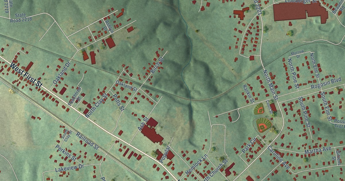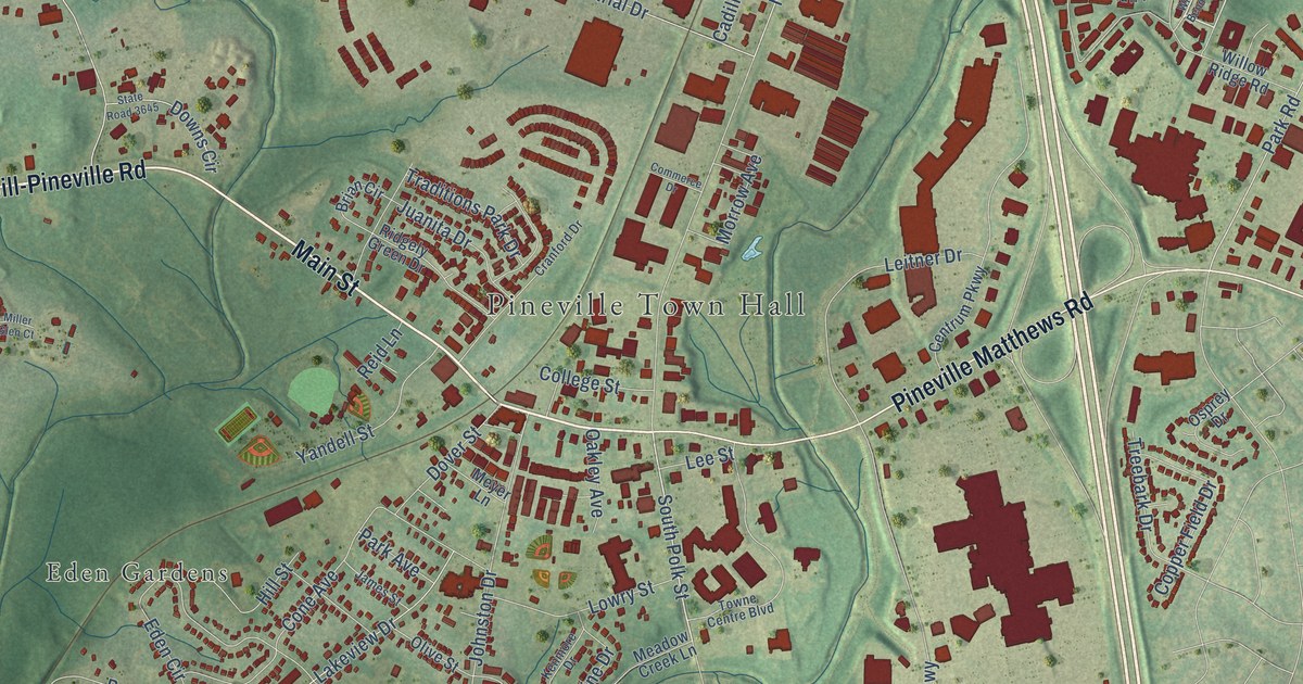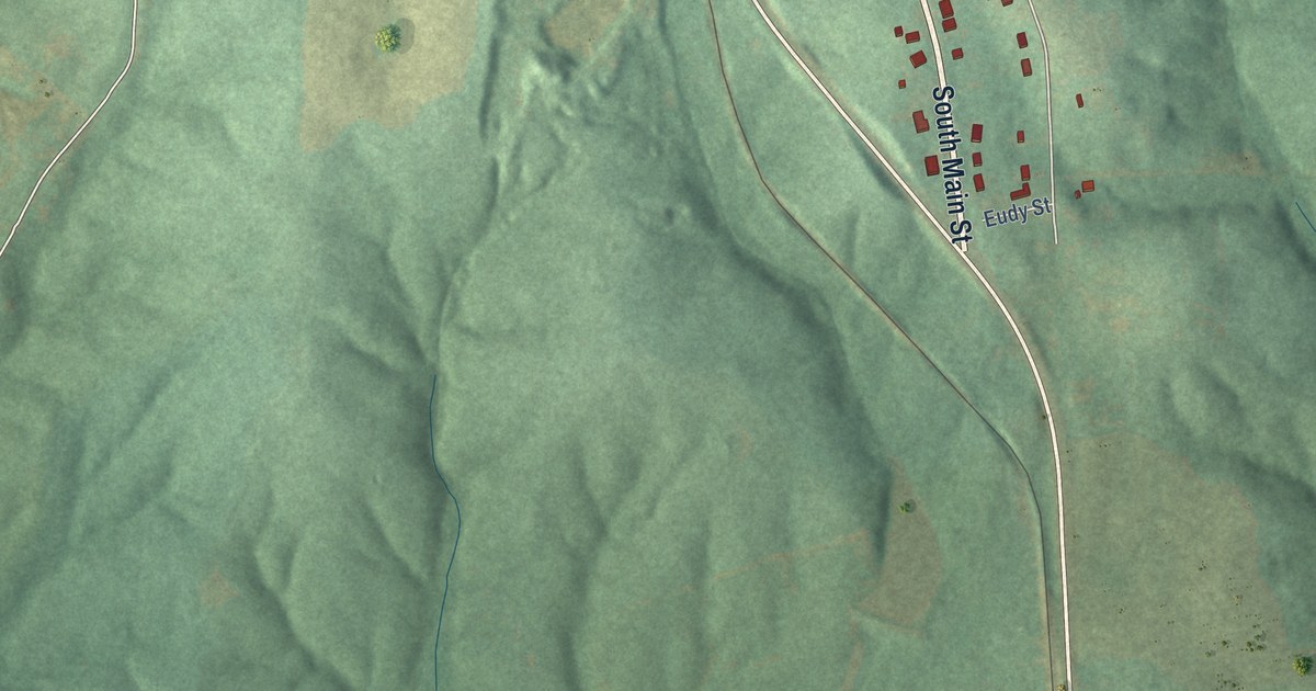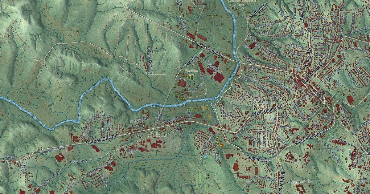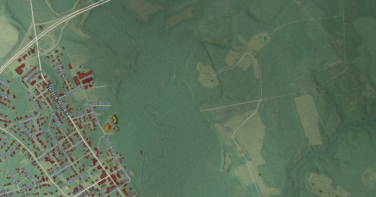
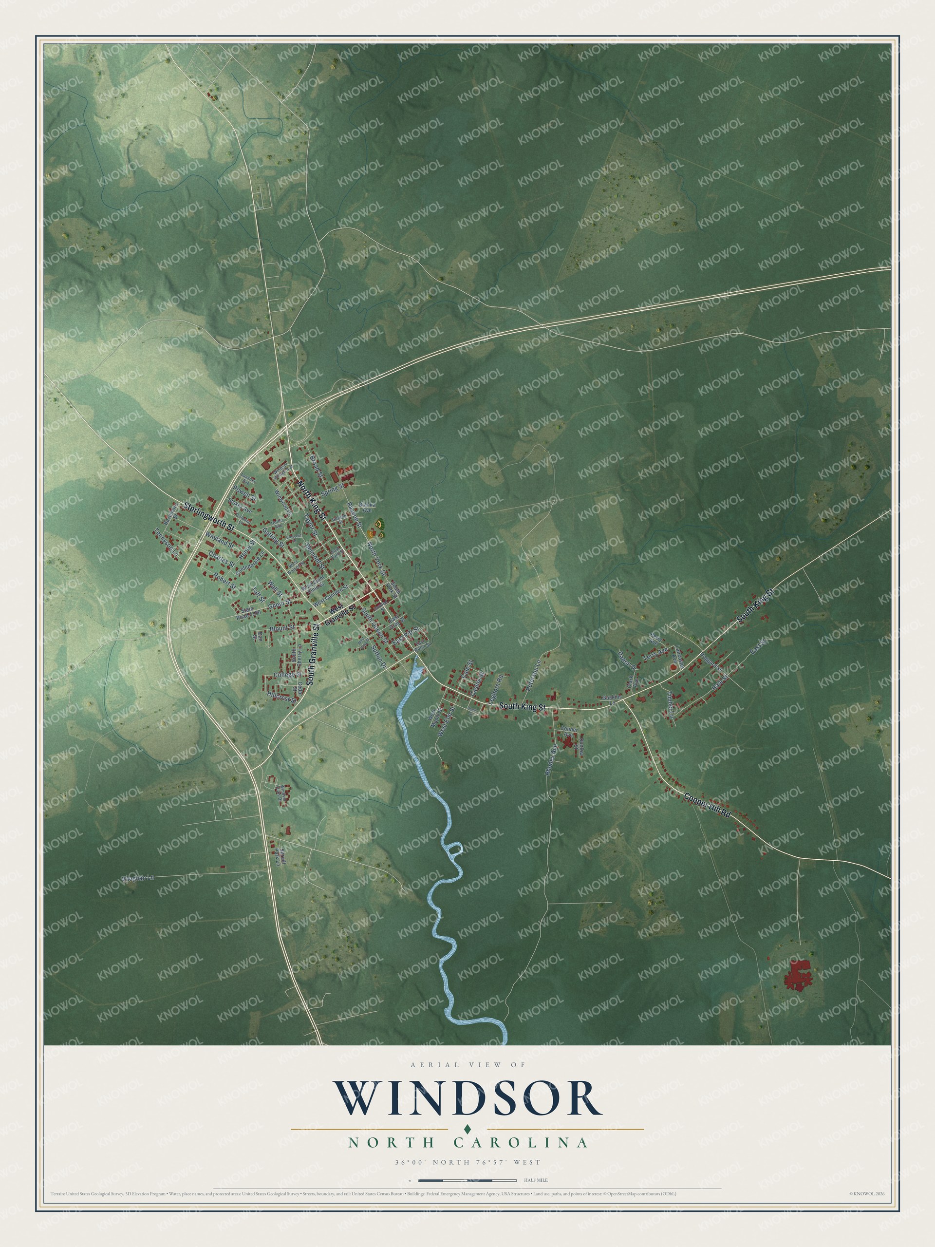
This beautifully detailed map of Windsor, North Carolina was created in 2026 using aerial imagery combined with modern topographical, census, street and landmark data. It's a modern aerial view of Windsor in Bertie County, North Carolina, that combines modern data with a vintage aesthetic. The roads feature printed names, and if you look closely you can find your exact house accurately shown in its correct location.
Explore an aerial view of Windsor, North Carolina
On this map you'll find North King Street, Cooper Hill Road, South King Street, Sterlingworth Street, South Granville Street, South Queen Street, North York Street, Taylor Street, Vaughan Lane, Belmont Street, Rascoe Street, Sutton Drive, and more. Each red shape is a building, so zoom in on the preview and look for yours.
Here is a piece of Windsor history, in the words of the record. The North Carolina Gazetteer puts it this way: "Windsor town and county seat, central Bertie County. Settled 1722; est. 1768; became county seat 1774. Built on the family estate of William Gray and was known originally as Gray's Landing. Windsor was named for the royal castle near London, England."
Windsor is a town in Bertie County. The Census Bureau counted 3,582 people here in 2020.
Take a closer look at the Windsor map
Names on this map
These names are printed on this map.
Streets and roads: North King Street, Cooper Hill Road, South King Street, Sterlingworth Street, South Granville Street, South Queen Street, North York Street, Taylor Street, Vaughan Lane, Belmont Street, Rascoe Street, Sutton Drive.
More street names, A to Z
Bazemore Street, Bianka Avenue, Blount Street, Broad Street, Cale Street, Cashie Street, Cedar Street, Charles Street, Clark Avenue, College Street, Colonial Lane, Confederate Lane, Conner Avenue, Crescent Drive, Dalton Drive, Dan Street, Dundee Street, Dunlow Street, East Byrd Street, East Gray Street, East Pitt Street, East Street, East Water Street, Gaskins Lane, Gatling Street, George Street, Ghent Street, Hale Street, Henry Street, Hillcrest Street, Hofler Avenue, Hoggard Street, Lancaster Avenue, Lassiter Avenue, Leghorn Road, Perry Avenue, Peterson Lane, Powell Street, Queen Street, Rhodes Avenue, Robert Street, South Cherry Lane, South York Street, Spring Street, Spruill Park Lane, State Road 1100, Stokes Avenue, Taft Street, Tennyson Lane, Terry Avenue, Timber Lane, Wall Street, Wayland Street, West Camden Street, West Elm Street, West Granville Street, West Gray Street, West Maple Street, West Saint Elmo Street, West Watson Street, Windsor Oaks Drive, Windsor Village Avenue, Winwood Drive.
Created by KNOWOL in 2026. The buildings are small red shapes, the roads carry their printed names, and shaded relief shows the shape of the land. The title panel reads "AERIAL VIEW OF WINDSOR NORTH CAROLINA" with 36°00' NORTH 76°57' WEST.
It suits a den, a classroom or a front hall, and it makes a gift for anyone with Windsor roots. Open the preview and find the block you know. See sizes and frames for the Windsor map.