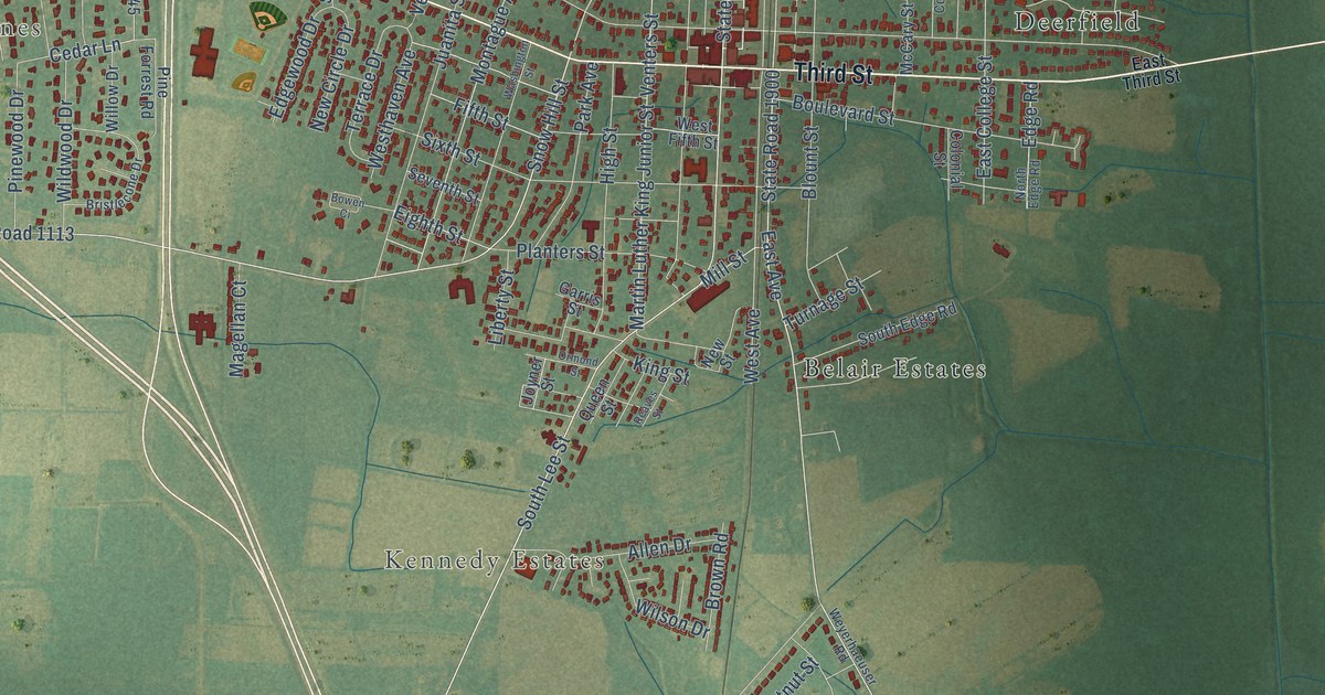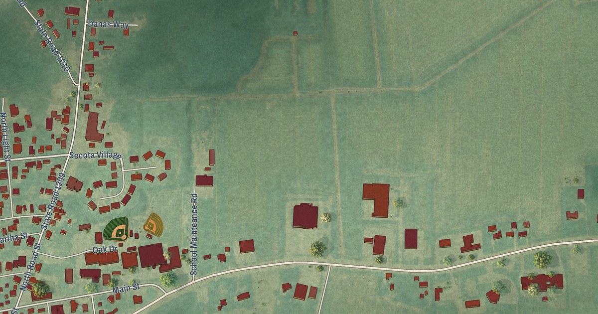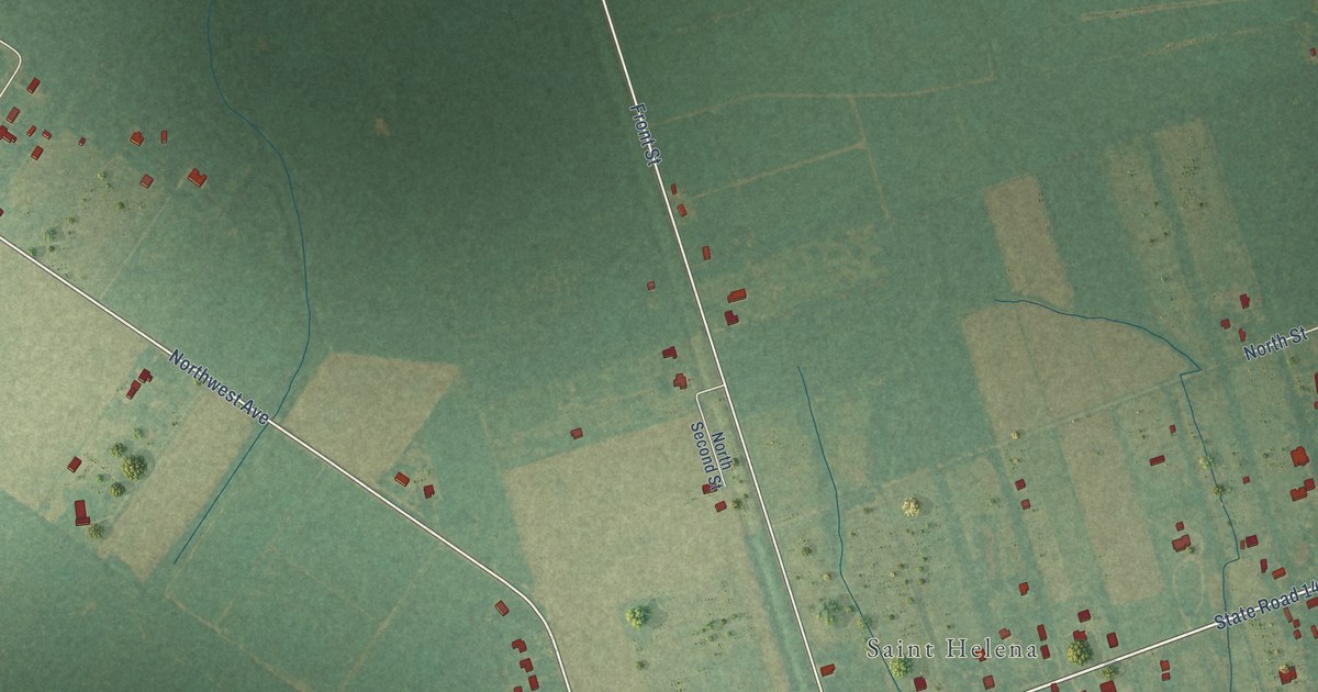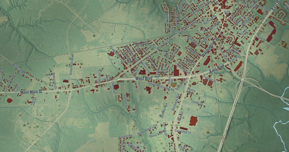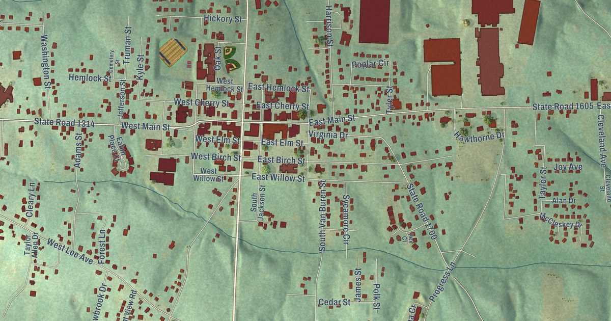
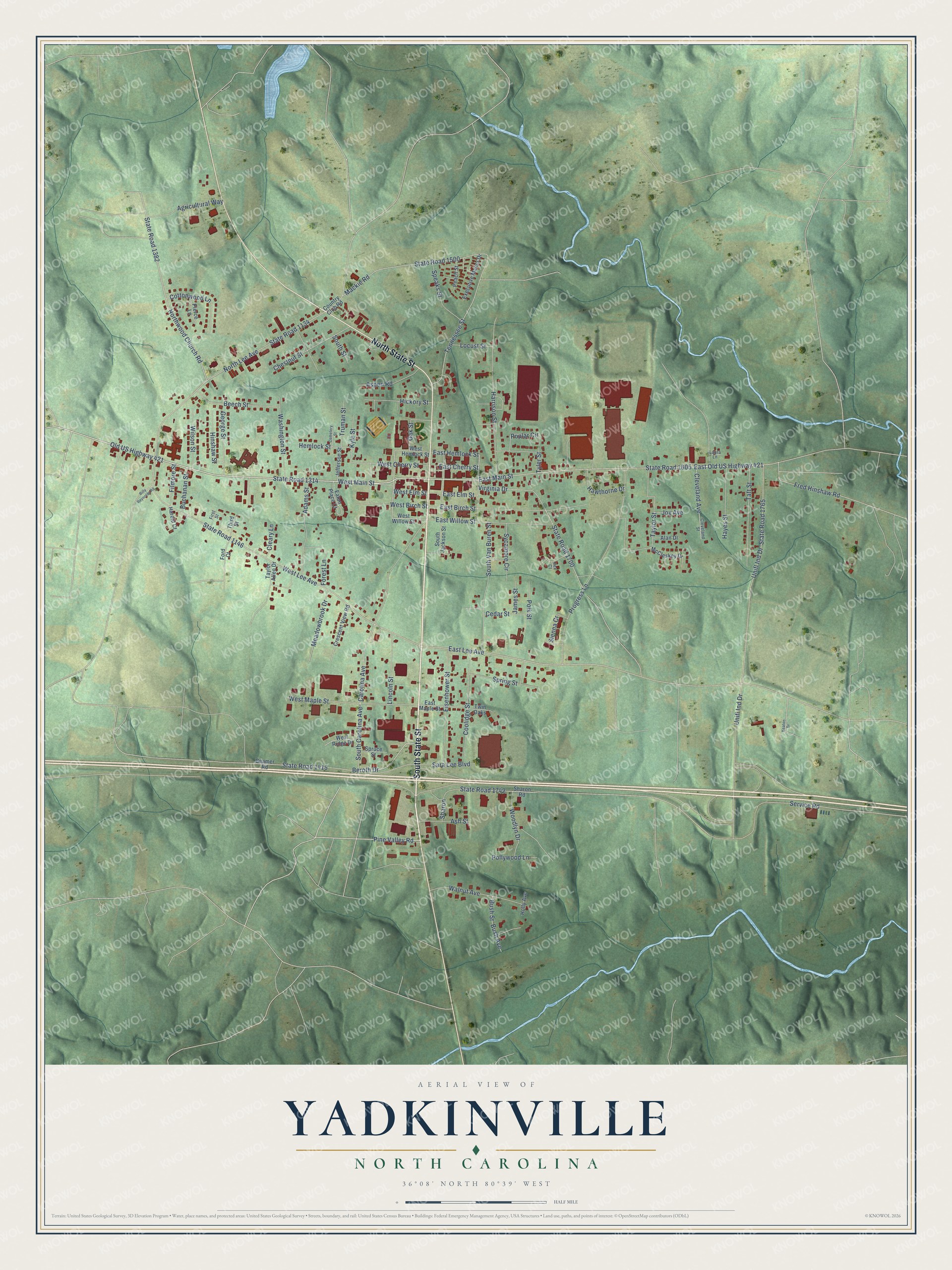
This beautifully detailed map of Yadkinville, North Carolina was created in 2026 using aerial imagery combined with modern topographical, census, street and landmark data. It's a modern aerial view of Yadkinville in Yadkin County, North Carolina, that combines modern data with a vintage aesthetic. The roads feature printed names, and if you look closely you can find your exact house accurately shown in its correct location.
Explore an aerial view of Yadkinville, North Carolina
On this map you'll find South State Street, North State Street, Old US Highway 421, State Road 1314, West Main Street, Pine Valley Road, East Lee Avenue, Northwood Church Road, State Road 1500, State Road 1415, Beroth Drive, Hemlock Street, and more. Each red shape is a building, so zoom in on the preview and look for yours.
Yadkinville has a story worth telling. The record at ncpedia.org puts it this way: "Yadkinville , the county seat, was chartered in 1857 and named after the county."
Yadkinville is a town in Yadkin County. The Census Bureau counted 2,995 people here in 2020.
Take a closer look at the Yadkinville map
Names on this map
These names are printed on this map.
Streets and roads: South State Street, North State Street, Old US Highway 421, State Road 1314, West Main Street, Pine Valley Road, East Lee Avenue, Northwood Church Road, State Road 1500, State Road 1415, Beroth Drive, Hemlock Street.
More street names, A to Z
Adams Street, Agricultural Way, Alan Drive, Ash Street, Aspen Road, Beamer Road, Beech Street, Billy Reynolds Road, Buchanan Street, Bush Avenue, Bush Street, Carolina Avenue, Cedar Street, Cemetery Street, Chestnut Street, Cleary Lane, Cleveland Avenue, Cleveland Street, Coolidge Street, Cottonwood Lane, Country Club Road, Crescent View Road, East Birch Street, East Cherry Street, East Elm Street, East Hemlock Street, East Main Street, East Maple Street, East Old US Highway 421, East Willow Street, Eaton Place Court, Eisenhower Street, Executive Manor Drive, Filmore Street, First Street, Ford Court, Forest Lane, Fred Hinshaw Road, George Street, Harold Court, Harrison Street, Hawthorne Drive, Hayes Street, Hickory Street, Hinshaw Street, Holly Avenue, Ilex Court, James Street, Jefferson Street, Joy Avenue, Keaton Drive, Kyle Street, Laura Lane, Lincoln Street, Locust Street, Mackie Road, McCleskey Drive, Meadowbrook Drive, North Lee Avenue, Oak Street, Peach Street, Pierce Lane, Polk Street, Pollywood Lane, Poplar Circle, Progress Lane, Sara Lee Boulevard, Service Road, Sharon, Sharon Road, Sienna Cr, South Carolina Avenue, South Jackson Street, South Street, South Van Buren Street, Speaks Street, Spring Street, Spruce Street, State Road 1134, State Road 1146, State Road 1382, State Road 1605, State Road 1700, State Road 1742, State Road 1765, Sycamore Circle, Taft Street, Taylor Allen Drive, Taylor Street, Tennessee Street, Third Street, Truman Street, Twin Oaks, Tyler Street, Unifi Ind Drive, Unifl Ind Drive, Virginia Drive, Walnut Avenue, Washington Street, West Birch Street, West Cherry Street, West Elm Street, West Hemlock Street, West Lee Avenue, West Maple Street, West Ridge Drive, West Willow Street, Wilson Street, Woodlyn Drive.
Created by KNOWOL in 2026. The buildings are small red shapes, the roads carry their printed names, and shaded relief shows the shape of the land. The title panel reads "AERIAL VIEW OF YADKINVILLE NORTH CAROLINA" with 36°08' NORTH 80°39' WEST.
It looks right in a kitchen, an office or a den, and it's a gift for anyone who grew up in Yadkinville or moved away. Open the preview and find your street. See sizes and frames for the Yadkinville map.