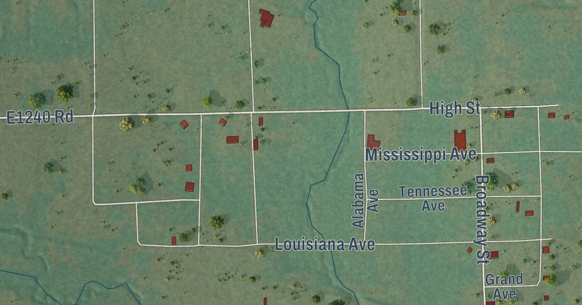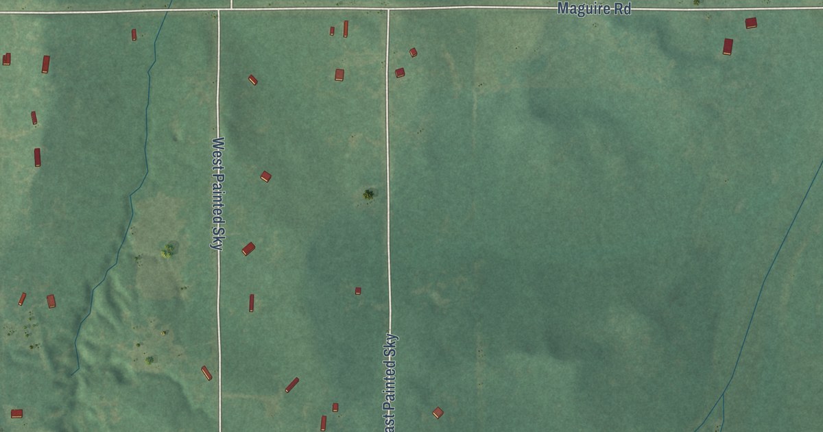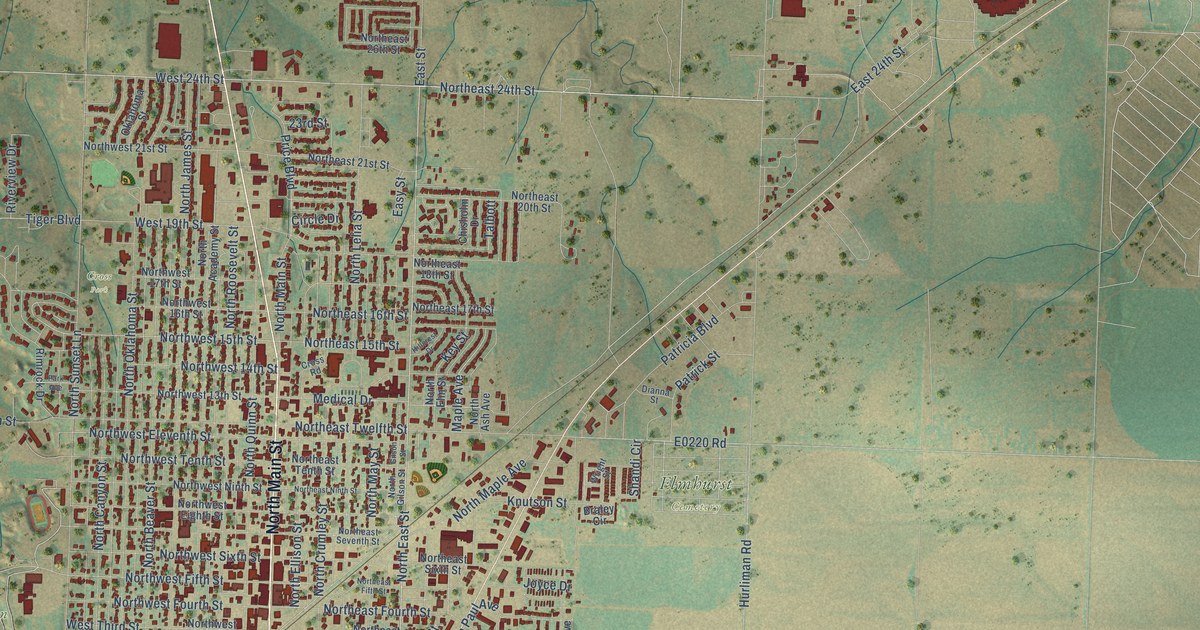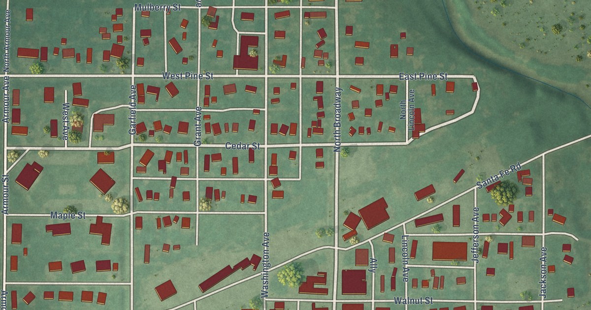
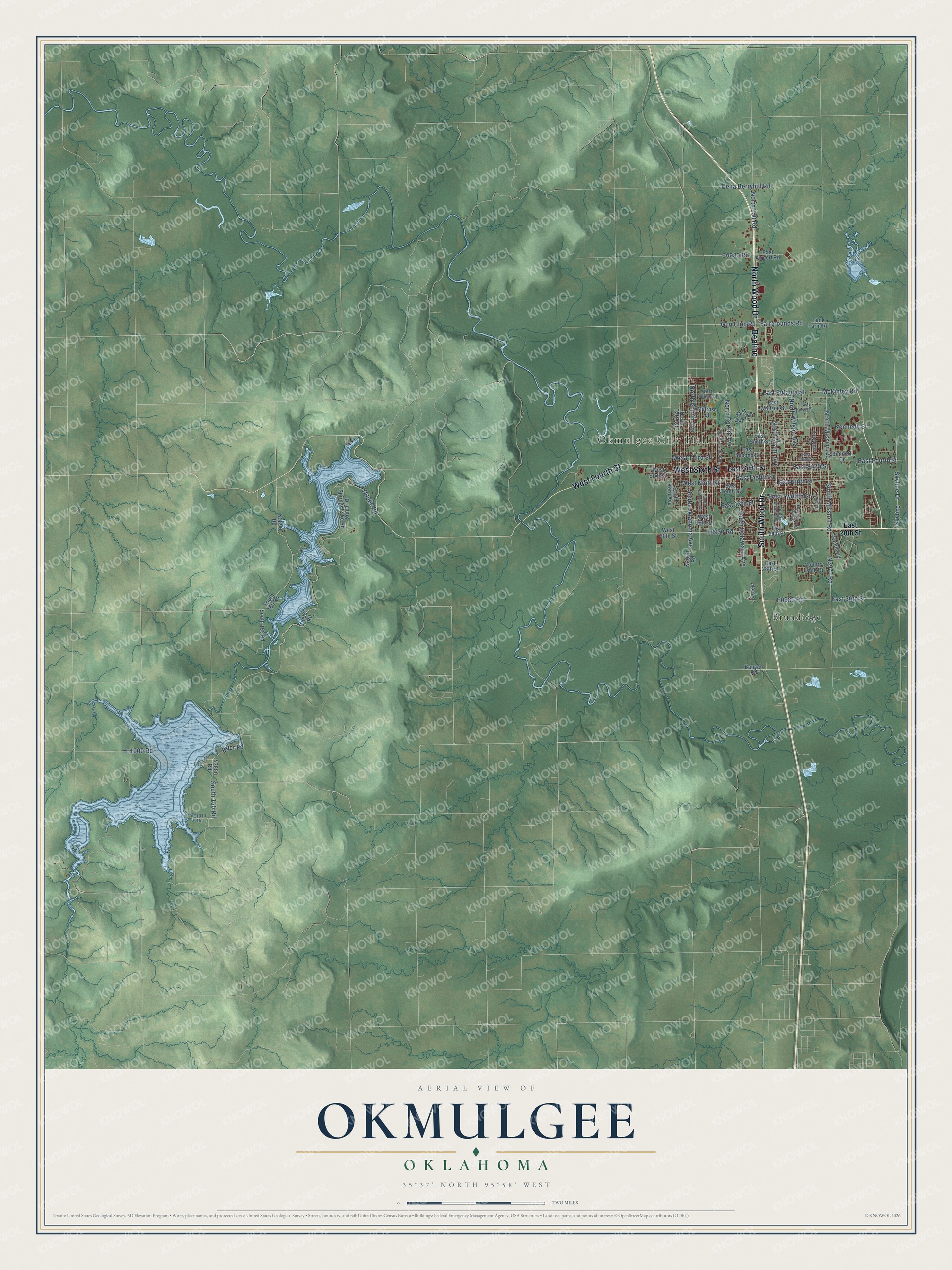
This beautifully detailed map of Okmulgee, Oklahoma was created in 2026 using aerial imagery combined with modern topographical, census, street and landmark data. It’s a one-of-a-kind view of Okmulgee that combines accurate data with a vintage aesthetic. The map shows every building in its true location, many of the roads carry their names, and the shaded topographic relief shows the shape of the land.
Explore an aerial view of Okmulgee, Oklahoma
On the map you’ll find Okmulgee City Hall, Brundidge, and Beeline, along with North Wood Drive, South Wood Drive, West Sixth Street, West Fourth Street, South 150 Road, East Sixth Street, South Mission Road, Fairgrounds Road, Brier Road, and more. If you look closely you can even find your house accurately drawn in its correct location. Zoom in on the preview to look for yours.
Did you know this piece of Okmulgee, Oklahoma history?
From the Oklahoma Historical Society: "The town was founded after the Civil War in 1868 when the Creek Nation began restoring order to their devastated homeland and came together in a general council to establish a capitol building. A post office opened there on April 29, 1869, under the spelling Okmulkee until November 15, 1883, when it became Okmulgee."
Okmulgee is a city in Okmulgee County.
Take a closer look at the Okmulgee map
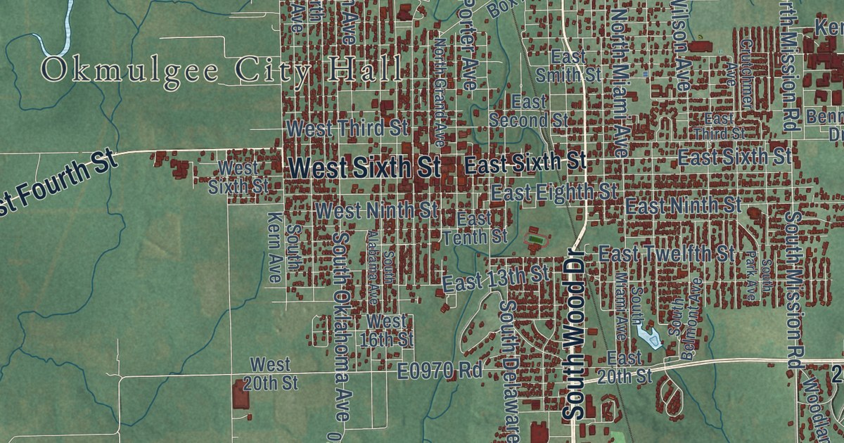
Street and place names on the Okmulgee, Oklahoma map
These names are printed on the map of Okmulgee, Oklahoma.
Places: Okmulgee City Hall and Brundidge.
Streets and roads: North Wood Drive, South Wood Drive, Beeline, West Sixth Street, West Fourth Street, South 150 Road, East Sixth Street, South Mission Road, Fairgrounds Road, Brier Road, McKinley Road, East Eufaula Street.
More street names, A to Z
Banyan Road, Bennett Drive, Celia Berryhill Road, Country Club Drive, Creek, Crutchmer Avenue, Dripping Springs Lake Road, East 13th Street, East 20th Street, East 28th Street, East 36th Street, East Airport Road, East Box Avenue, East Eighth Street, East Fourth Street, East Hayes Street, East Ninth Street, East Second Street, East Smith Street, East Tenth Street, East Third Street, East Twelfth Street, East Wallace Street, Gun Club Road, Kennedy Street, Melrose Street, North 230 Road, North Grand Avenue, North Griffin Avenue, North Miami Avenue, North Mission Road, North Porter Avenue, North Taft Avenue, North Wilson Avenue, Skyline, Skyline Drive, South 158 Road, South 160 Road, South Alabama Avenue, South Belmont Avenue, South Delaware Avenue, South Kern Avenue, South Miami Avenue, South Oklahoma Avenue, South Park Avenue, Tank Farm Road, West 16th Street, West 20th Street, West Eufaula Street, West Ninth Street, West Third Street, Woodland.
See the Okmulgee, Oklahoma map on a wall
The Okmulgee map as an 18 x 24 inch print in a black frame.

This beautifully detailed map of Okmulgee makes an attractive addition to your office, library, or den, and it can even be used to teach children the geography and history of the area. It also makes a great gift for anyone with Okmulgee roots. When you’re done exploring, click here to get your copy of the Okmulgee map.