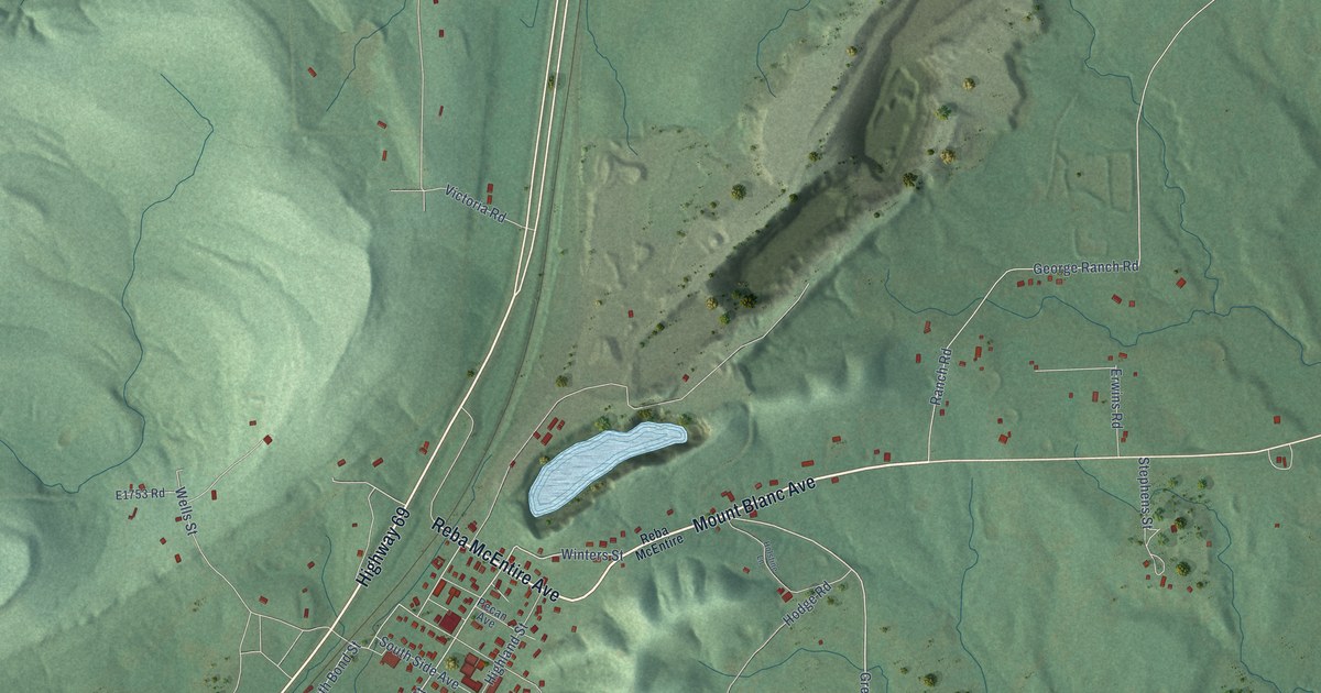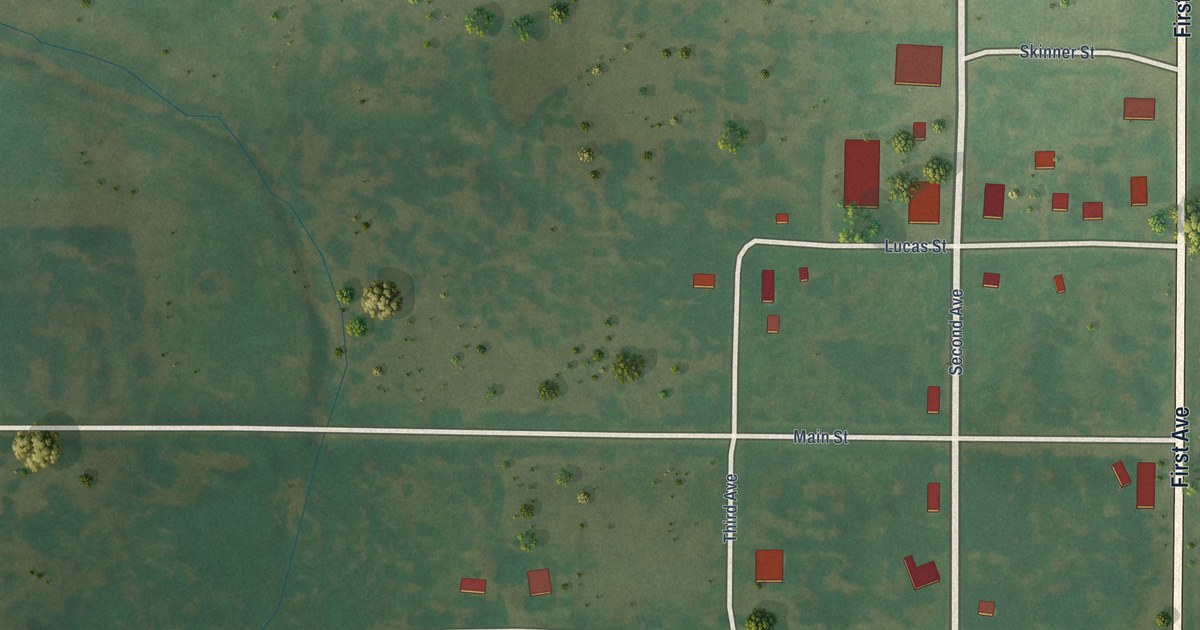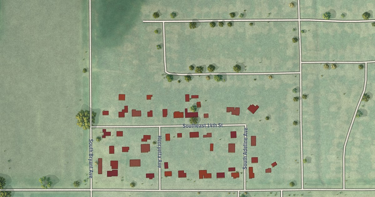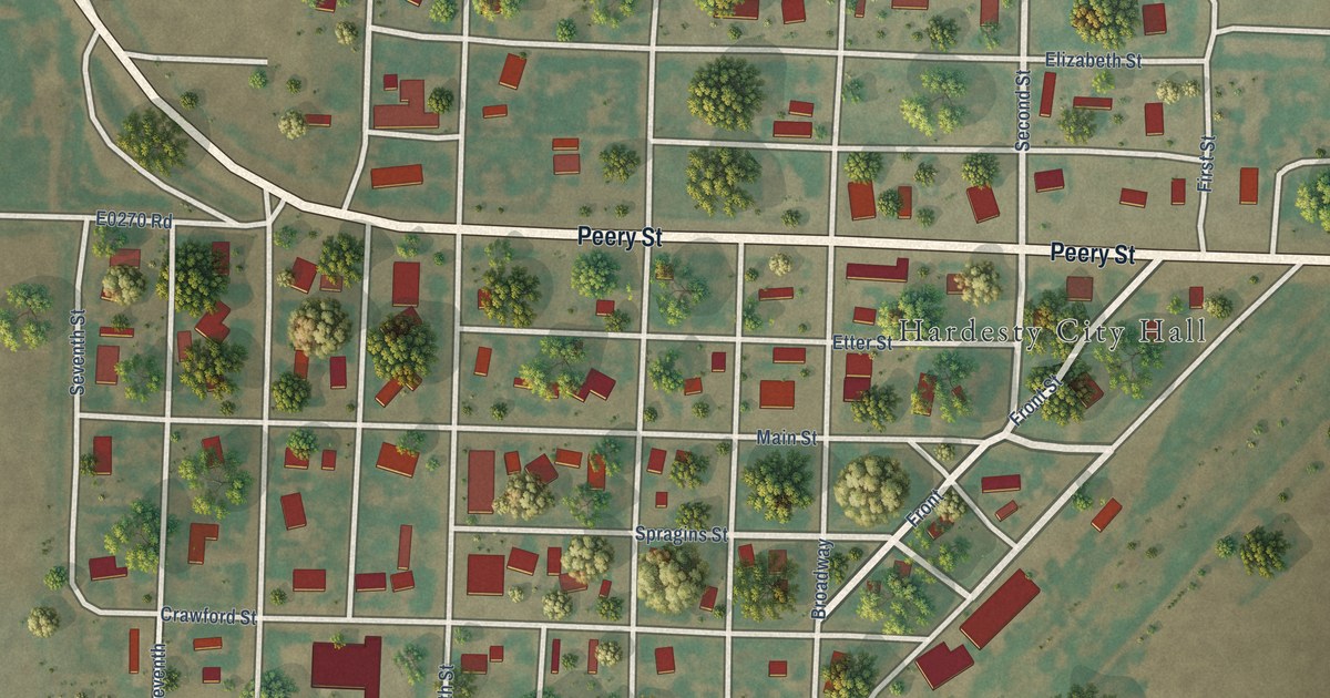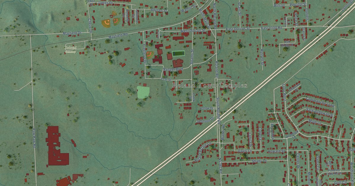
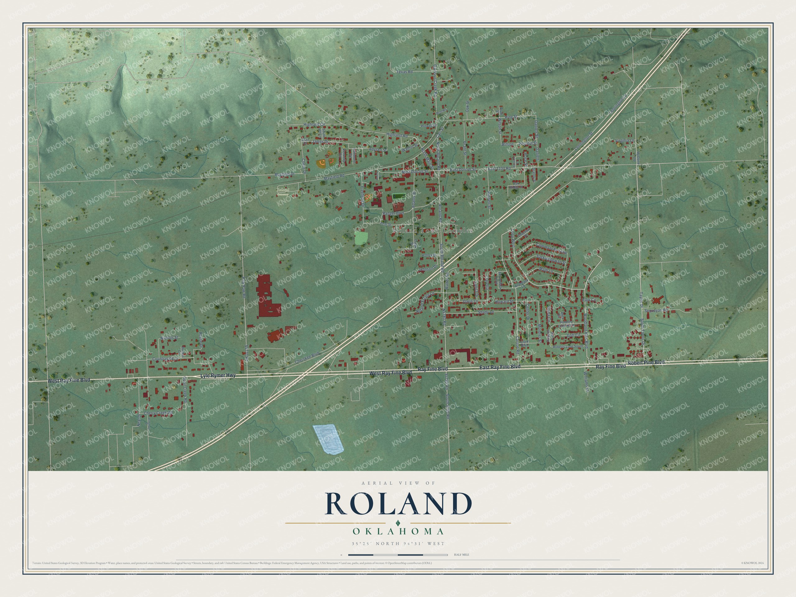
This beautifully detailed map of Roland, Oklahoma was created in 2026 using aerial imagery combined with modern topographical, census, street and landmark data. It's a modern aerial view of Roland in Sequoyah County, Oklahoma, that combines modern data with a vintage aesthetic. The roads feature printed names, and if you look closely you can find your exact house accurately shown in its correct location.
Explore an aerial view of Roland, Oklahoma
On this map you'll find Roland Town Complex, Roland Cemetery, Ray Fine Boulevard, Robert Pine Boulevard, East Ray Fine Boulevard, West Ray Fine Boulevard, Lyle Rymer Highway, Loop West, Carson Road, Woodland Hills Boulevard, Taylor Drive, South Taylor Drive, and more. Each red shape is a building, so zoom in on the preview and look for yours.
Here is a piece of Roland history, in the words of the record. The record at okhistory.org puts it this way: "After the Kansas and Arkansas Valley Railway built tracks through the region in 1888, the railroad, which was soon leased to and then acquired by the St. Louis, Iron Mountain and Southern Railway, built a depot at present Roland."
Roland is a town in Sequoyah County.
Take a closer look at the Roland map
Names on this map
These names are printed on this map.
Places: Roland Town Complex and Roland Cemetery.
Streets and roads: Ray Fine Boulevard, Robert Pine Boulevard, East Ray Fine Boulevard, West Ray Fine Boulevard, Lyle Rymer Highway, Loop West, Carson Road, Woodland Hills Boulevard, Taylor Drive, South Taylor Drive, Ranger Boulevard, South 4780 Road.
More street names, A to Z
Adams Street, Adirondack Loop, Adysen Street, Arundack Lane, Beta Circle, Bridgeway Drive, Brooks, Bunker Circle, Carr Street, Center Drive, Cherokee Boulevard, Cherry Creek Road, Chez Drive, Cheze Drive, Choctaw Drive, Church Street, Claretta, Clark Boulevard, Commanche Loop, Countryside Lane, Creek Street, Daniels, Daniels Street, Davis Lane, East 1100 Road, East Dorcus Street, Freeferry Drive, Gama Circle, Garrison Creek Road, Goff Circle, Granny Street, Grant Street, Haskins Lane, Highland Circle, Highland Road, Hollow Drive, Howard Street, James Drive, Johnson Drive, Kennedy Circle, Lanita Drive, Lattimore Circle, Lennington Lane, Lennington Street, Math Lane, Mayfield Drive, Mayfield Road, McGuire Loop, Mondier Street, Neal Drive, Nichols Street, North Main Street, North Roland Road, Oak Ridge Drive, Oak Street, Park Circle, Paw Paw Road, Pear Street, Perciful Street, Pine Street, Plum Street, Prewett Drive, Price Street, Quail Creek Road, Reese Drive, Roberts Loop, Roberts Loop North, Roberts Loop South, Roland Estate Lane, Roland Road, Russell Street, Saskatchewan Street, Sequoyah Road, Shady Lane, South Jeff Lane, South Roland Road, Texas Road, Virginia Lane, Walnut Street, Walter Road, West Dorcus Street, Williams Lane, Wilson, Wilson Street.
Created by KNOWOL in 2026. The buildings are small red shapes, the roads carry their printed names, and shaded relief shows the shape of the land. The title panel reads "AERIAL VIEW OF ROLAND OKLAHOMA" with 35°25' NORTH 94°31' WEST.
It suits a den, a classroom or a front hall, and it makes a gift for anyone with Roland roots. Open the preview and find the block you know. See sizes and frames for the Roland map.