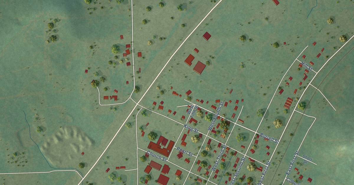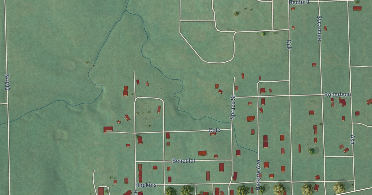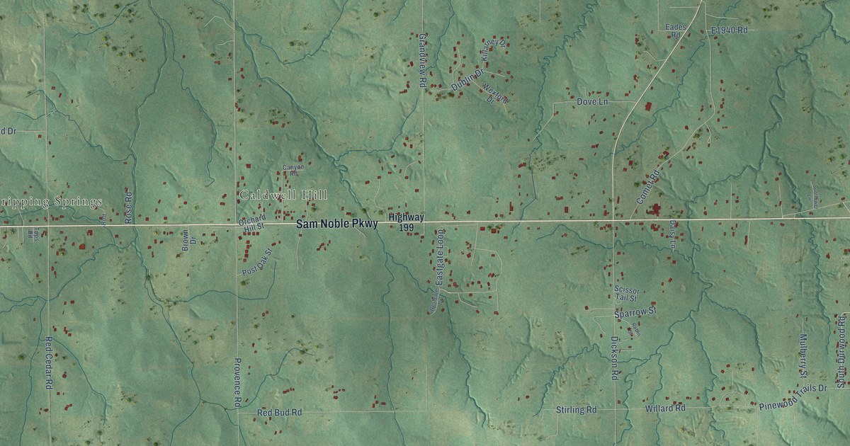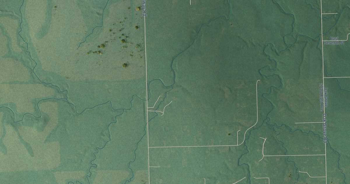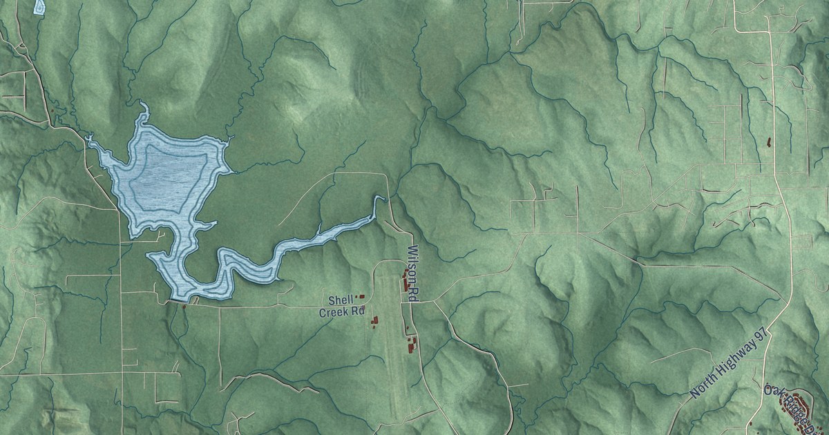
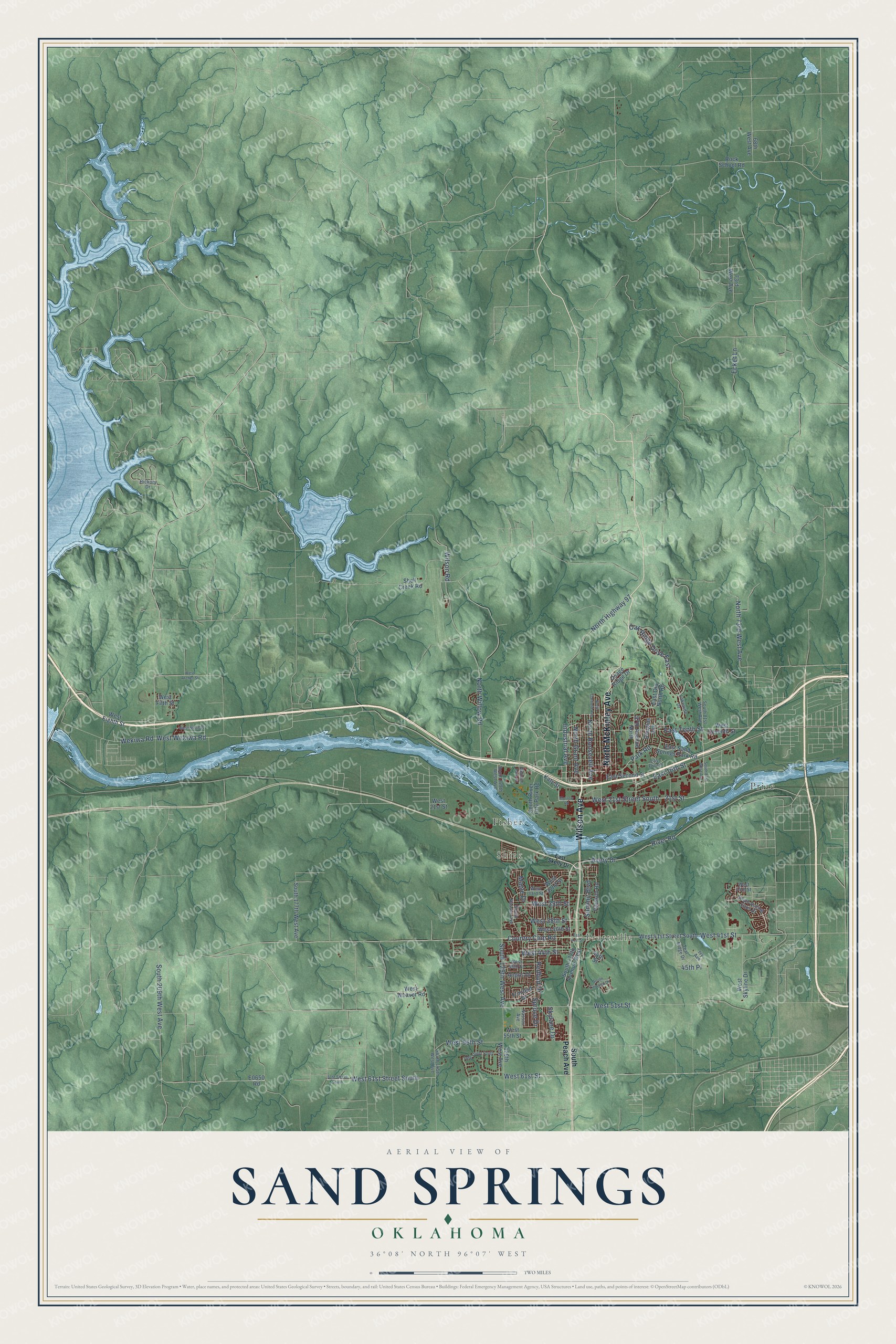
This beautifully detailed map of Sand Springs, Oklahoma was created in 2026 using aerial imagery combined with modern topographical, census, street and landmark data. It's a modern aerial view of Sand Springs in Tulsa County, Oklahoma, that combines modern data with a vintage aesthetic. The roads feature printed names, and if you look closely you can find your exact house accurately shown in its correct location.
Explore an aerial view of Sand Springs, Oklahoma
On this map you'll find Prattville, Shirk, Fisher, Price, North McKinley Avenue, Wilson Avenue, Wekiwa Road, West Wekiwa Road, West 21st Street South, North Roosevelt Avenue, North Willow Road, Park Road, and more. Each red shape is a building, so zoom in on the preview and look for yours.
Every town has a first chapter, and Sand Springs is no exception. The record at okhistory.org puts it this way: "The first recorded settlement in the area of what is now Sand Springs can be traced to as early as 1826 when a small band of the Cherokee resided in that general location."
Sand Springs is a city in Tulsa County.
Take a closer look at the Sand Springs map
Names on this map
These names are printed on this map.
Places: Prattville, Shirk, Fisher and Price.
Streets and roads: North McKinley Avenue, Wilson Avenue, Wekiwa Road, West Wekiwa Road, West 21st Street South, North Roosevelt Avenue, North Willow Road, Park Road, Avery Drive, West 44th Street, West 56th Street, West 41st Street.
More street names, A to Z
21st Street, 44th Street, 45th Place, 58th Street South, 61st Street South, 68th West Avenue, 73rd West Avenue, 97th Avenue North, 129th West Avenue, Angus Drive, Country Club Road, Douglas Avenue, East 16th Street, East 41st Street, East Fourth, East Old North Road, East Sand Springs Park Road, East Second Street, East Skelly Drive, East Tenth Street, Ecker Lane, Hickory Drive, Industrial Avenue, Ivy Avenue, Katy Street, Lakeside Drive, Maple Drive, Morrow Road, Nassau Avenue, North 73rd West Avenue, North Garfield Avenue, North Grant Avenue, North Highway 97, Oak Ridge Drive East, Osage Ridge Drive, Rawson Road, Redbud Drive, River Road, Rock School Road, Shell Creek Road, Skylane Drive, South 81st West Avenue, South 112th Avenue West, South 129th West Avenue, South 145th West Avenue, South 177th West Avenue, South 209th West Avenue, South Linwood Drive, South Nassau Avenue, South Peach Avenue, South River City Park Road, South Rolling Oaks Drive, Spruce Drive, Summit Boulevard, Teal Ridge Drive, Trinidad Drive, Wellston Park Road, West 21st Street, West 32nd Street, West 33rd Street, West 34th Street, West 35th Street, West 38th Street, West 40th Street, West 41st Street South, West 46th Street, West 51st Street, West 55th Street, West 61st Street, West 61st Street South, West Archer Street, West Eighth Street, West Fifth Street, West Ninth Place, West Seventh Street, West Skyline Drive, West Weaver Road, Wilson Road.
Created by KNOWOL in 2026. The buildings are small red shapes, the roads carry their printed names, and shaded relief shows the shape of the land. The title panel reads "AERIAL VIEW OF SAND SPRINGS OKLAHOMA" with 36°08' NORTH 96°07' WEST.
Hang it in the hallway, the office or the cabin, or give it to someone who left Sand Springs and still calls it home. Open the preview and look for a street you know. See sizes and frames for the Sand Springs map.