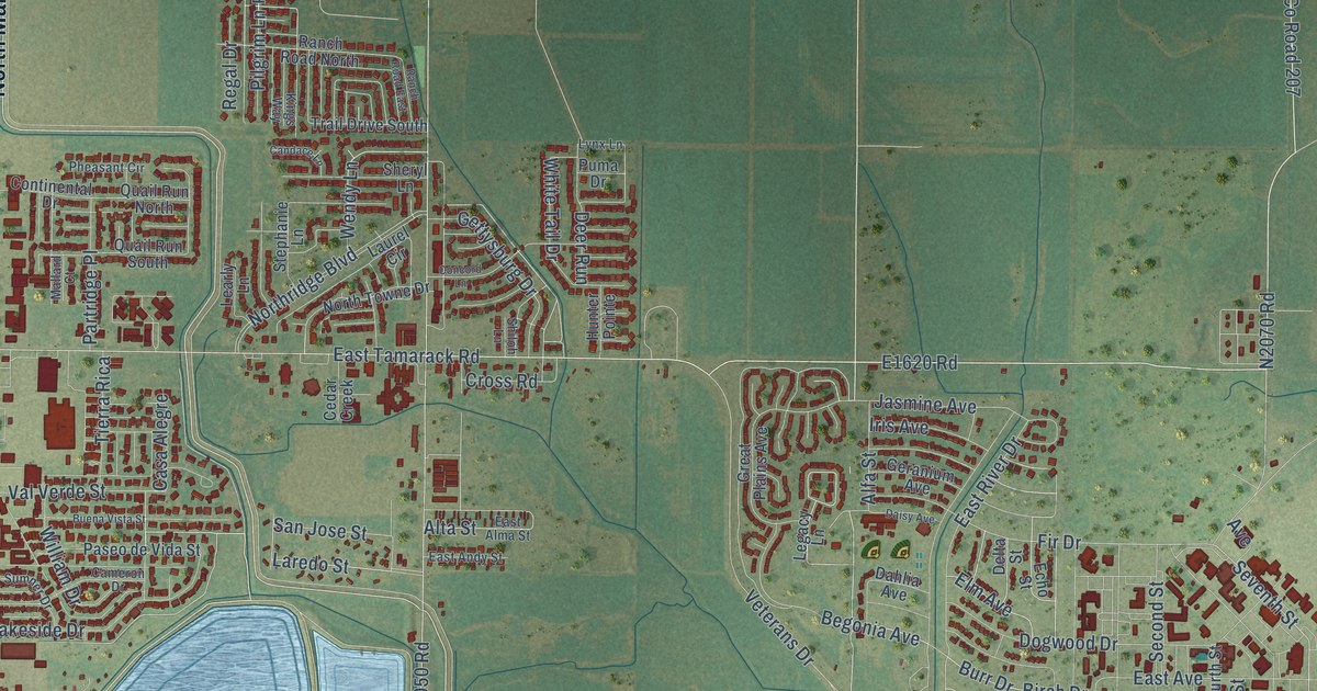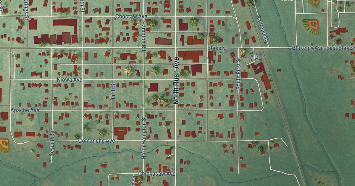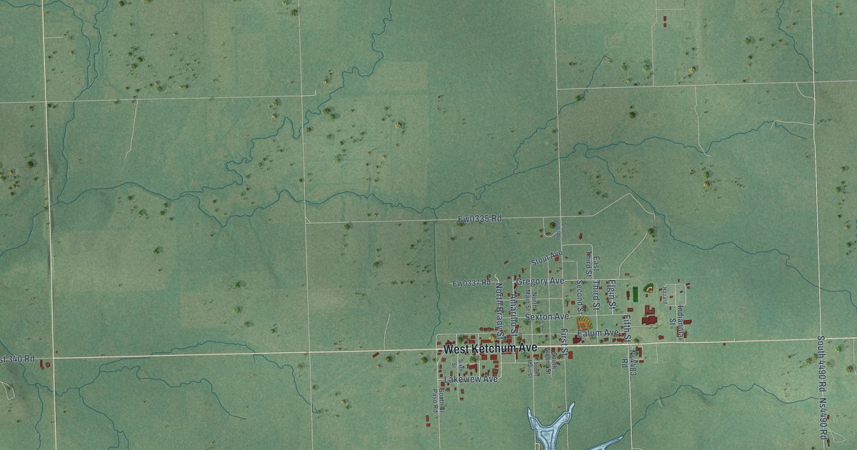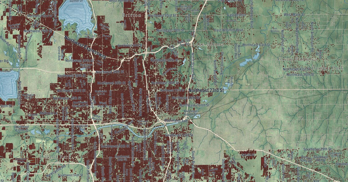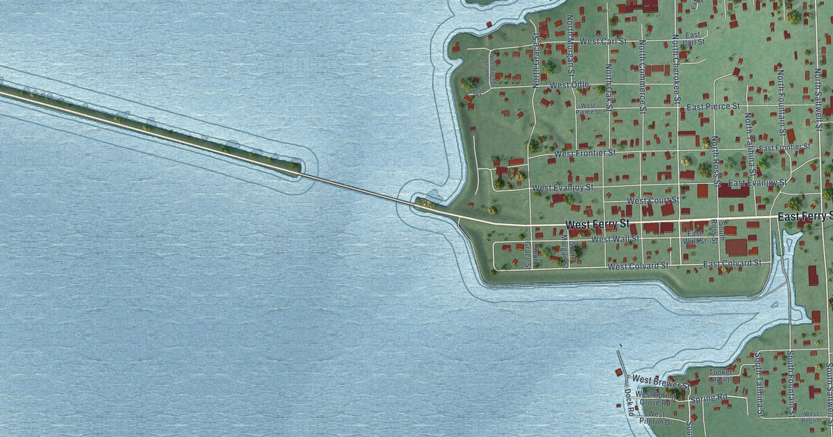
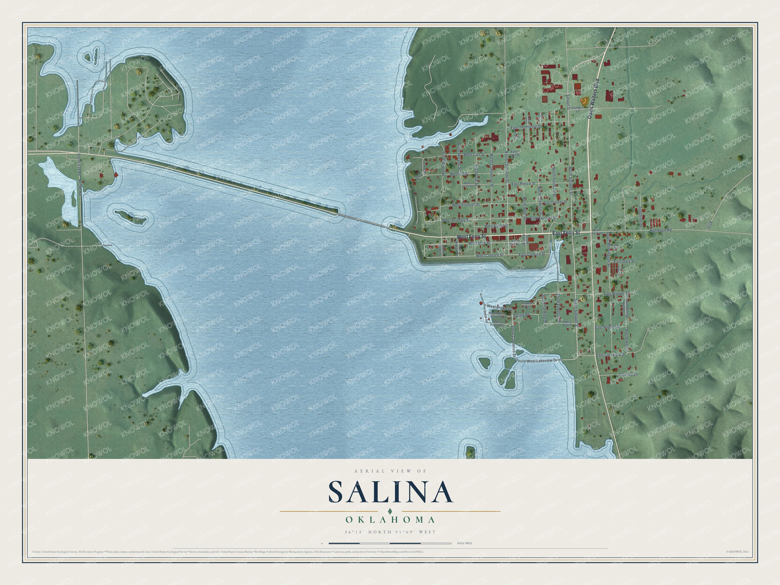
This beautifully detailed map of Salina, Oklahoma was created in 2026 using aerial imagery combined with modern topographical, census, street and landmark data. It's a modern aerial view of Salina in Mayes County, Oklahoma, that combines modern data with a vintage aesthetic. The roads feature printed names, and if you look closely you can find your exact house accurately shown in its correct location.
Explore an aerial view of Salina, Oklahoma
On this map you'll find Owen Walters Boulevard, East Ferry Street, West Ferry Street, North Saltwell Street, South Saltwell Street, West Lakeview Drive, South Cherokee Street, North Cherokee Street, East Colvard Street, West Colvard Street, South Fountain Street, West Wall Street, and more. Each red shape is a building, so zoom in on the preview and look for yours.
Here is a piece of Salina history, in the words of the record. The record at okhistory.org puts it this way: "The first Salina post office was established at Grand Saline salt works, Indian Territory, on February 23, 1849, and was discontinued on August 24, 1866."
Salina is a town in Mayes County.
Take a closer look at the Salina map
Names on this map
These names are printed on this map.
Streets and roads: Owen Walters Boulevard, East Ferry Street, West Ferry Street, North Saltwell Street, South Saltwell Street, West Lakeview Drive, South Cherokee Street, North Cherokee Street, East Colvard Street, West Colvard Street, South Fountain Street, West Wall Street.
More street names, A to Z
Campus Lane, Cathy Street, Country Lane, Dock Road, East Brewer Street, East Carl Street, East Evanjoy Street, East Frontier Street, East Gary Street, East Lakeview Drive, East Pierce Street, East Pilgrim Drive, East Thompson Street, East Wall Street, Kenwood Road, North Commerce Street, North Evening Shade Street, North Fountain Street, North Grace Street, North Morgan Street, North Oak Street, North Ross, North Ross Street, North Talihina Street, North Talihini, Paxton Street, Rolling Hills Drive, Saltwell Street, Sonshine Lane, South 439 Road, South Donnie Street, South Grace Street, South Morgan Street, South Rolling Hills Drive, South Ross Street, South Talihina Street, South Whittington Street, Spring Road, Sunset Street, Tooker Point, West Brewer Street, West Carl Street, West Court Street, West Evanjoy Street, West Frontier Street, West Odle, West Pierce Street, West Pilgrim, West Pilgrim Drive, West Spring Grove Road.
Created by KNOWOL in 2026. The buildings are small red shapes, the roads carry their printed names, and shaded relief shows the shape of the land. The title panel reads "AERIAL VIEW OF SALINA OKLAHOMA" with 36°18' NORTH 95°09' WEST.
It suits a den, a classroom or a front hall, and it makes a gift for anyone with Salina roots. Open the preview and find the block you know. See sizes and frames for the Salina map.