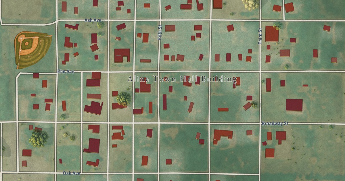
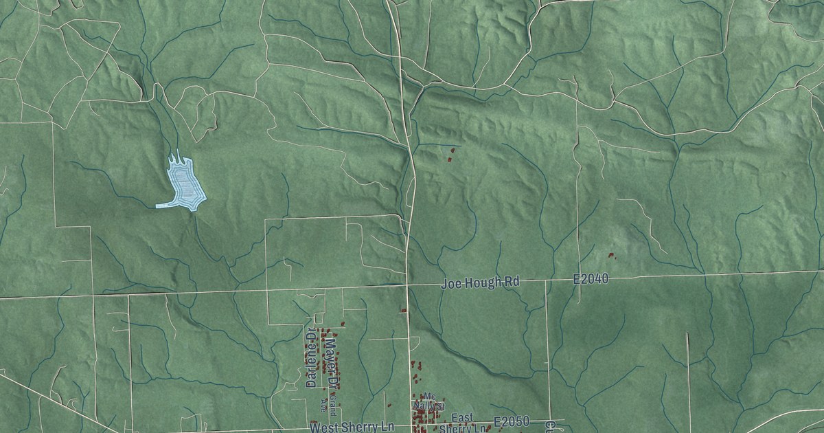
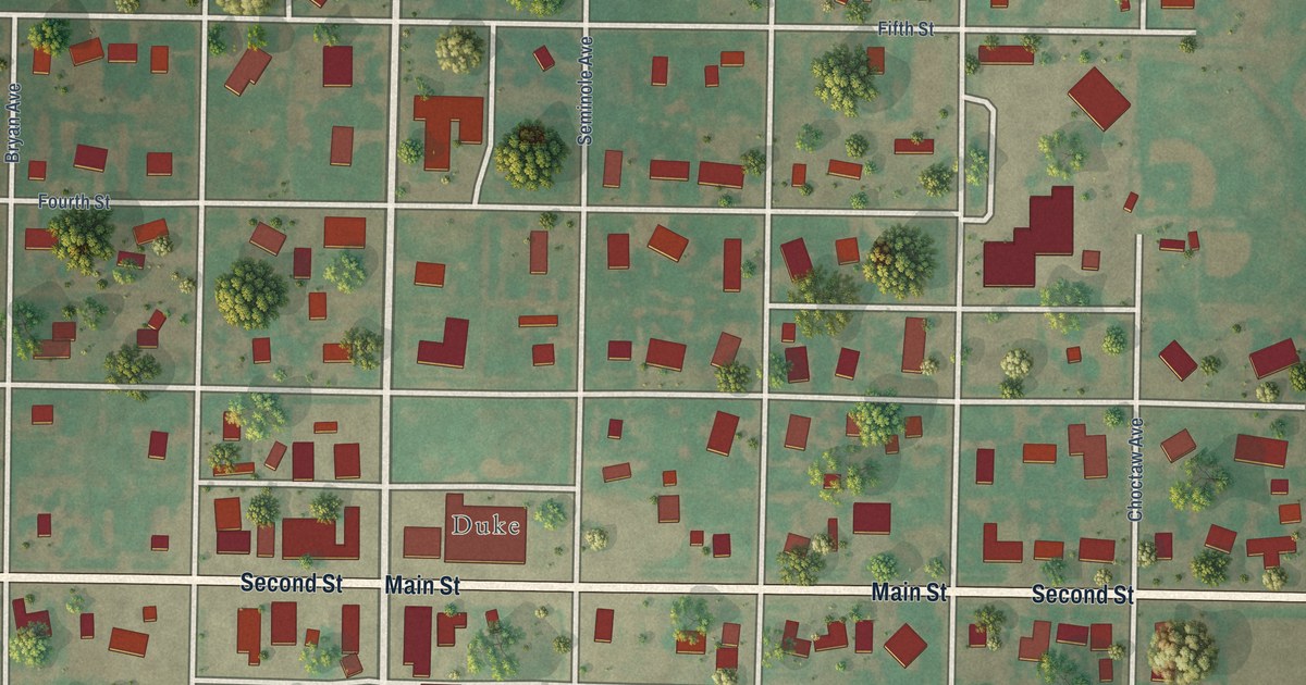
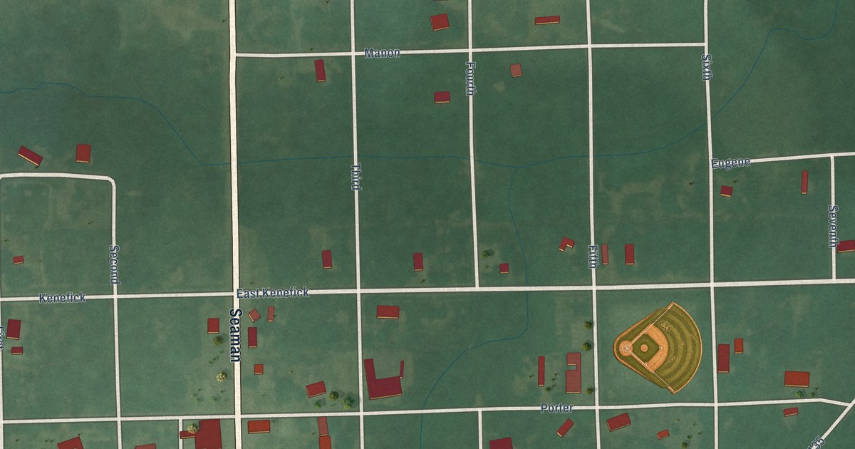
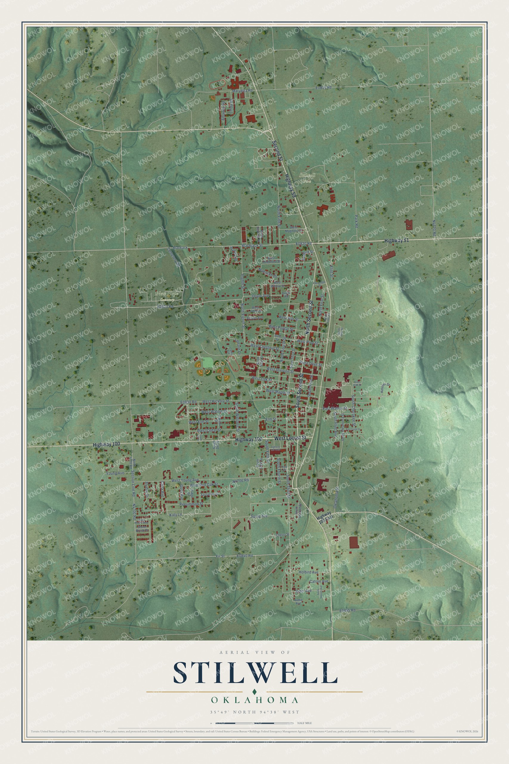
This beautifully detailed map of Stilwell, Oklahoma was created in 2026 using aerial imagery combined with modern topographical, census, street and landmark data. It's a modern aerial view of Stilwell in Adair County, Oklahoma, that combines modern data with a vintage aesthetic. The roads feature printed names, and if you look closely you can find your exact house accurately shown in its correct location.
Explore an aerial view of Stilwell, Oklahoma
On this map you'll find New Hope Cemetery, Stilwell Park, Highway 51, Highway 59, South Second Street, Highway 100, North Second Street, Second Street, West Locust Street, Cemetery Road, E0823 Road, Doyle Avenue, and more. Each red shape is a building, so zoom in on the preview and look for yours.
Here is a piece of Stilwell history, in the words of the record. The record at okhistory.org puts it this way: "Preliminary plans had envisioned a railroad from Kansas City, Missouri, through western Arkansas to the Gulf of Mexico."
Stilwell is a city in Adair County.
Take a closer look at the Stilwell map
Names on this map
These names are printed on this map.
Places: New Hope Cemetery and Stilwell Park.
Streets and roads: Highway 51, Highway 59, South Second Street, Highway 100, North Second Street, Second Street, West Locust Street, Cemetery Road, Doyle Avenue, North Eighth Street, Blackjack Street, Spray Avenue.
More street names, A to Z
Allison Avenue, Alyene Drive, Amanda Road, Audie Avenue, Blackjack, Caney Avenue, Carla Avenue, Carson Street, Catron Avenue, Cherry Street, Clark Avenue, Clevenger Street, Doyle Road, East Cedar Street, East Oak Street, East Walnut Street, Eighth Street, Elm Street, Fir Street, Flint Street, Goss Avenue, Highway 100 East, Highway 100 West, Holbird Avenue, Katy Lane, Ketcher Street, Leisure Lane, Linda Road, Makoske Drive, Maryetta Road, North 4700 Road, North Fifth Street, North First Street, North Flint Street, North Fourth Street, North Front Street, North Seventh Street, North Sixth Street, North Third Street, Oklahoma Street, Park Road, Persimmon Street, Pine Street, Redbud Street, Rider Avenue, Ridge Drive, Sassafras Street, Section Line Road, Skywood Drive, South Cherokee Street, South Del Street, South Earl Street, South Fifth Street, South First Street, South Flint Avenue, South Fourth Street, South Oklahoma Street, South Sixth Street, South Squyres Avenue, South Third Street, South Williams Street, Stone Brook Place, Stone Brook Way, West Ash Street, West Cedar Street, West Chestnut Street, West Division Street, West Dogwood Street, West Elm Street, West Hickory Street, West Johnson, West Magnolia Street, West Maple Street, West Oak Street, West Olive Street, West Pine Street, West Poplar Street, West Red Oak Street, West Walnut Street, West Willow Street, West Young Avenue, Young Avenue.
Created by KNOWOL in 2026. The buildings are small red shapes, the roads carry their printed names, and shaded relief shows the shape of the land. The title panel reads "AERIAL VIEW OF STILWELL OKLAHOMA" with 35°49' NORTH 94°38' WEST.
It suits a den, a classroom or a front hall, and it makes a gift for anyone with Stilwell roots. Open the preview and find the block you know. See sizes and frames for the Stilwell map.