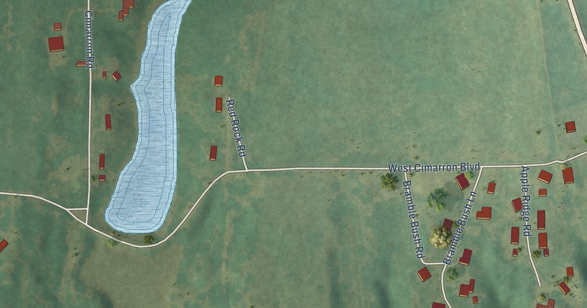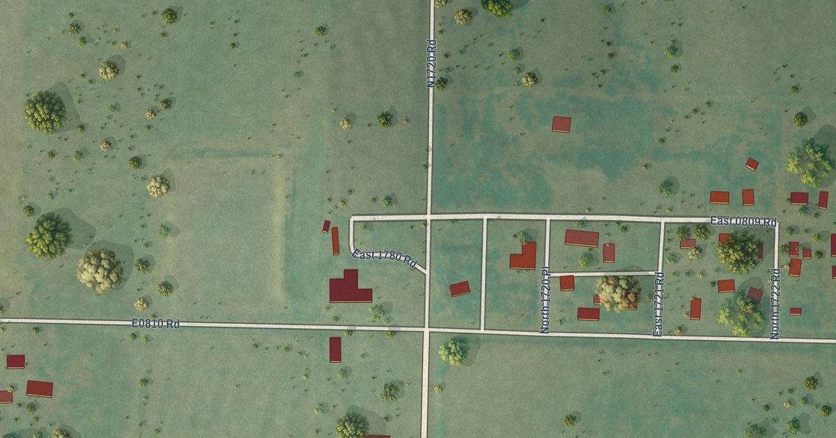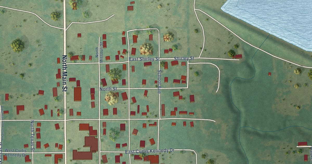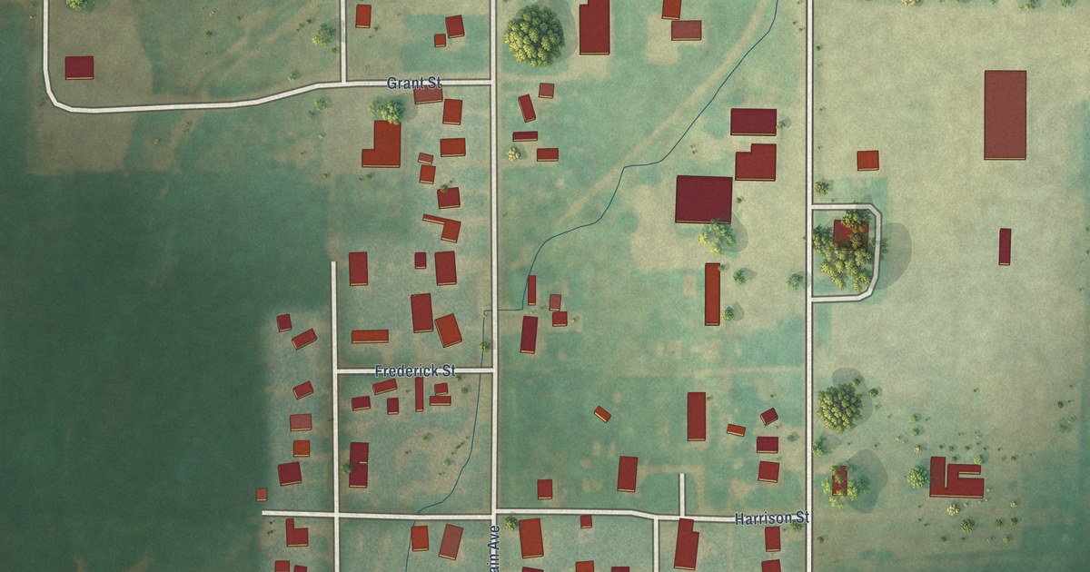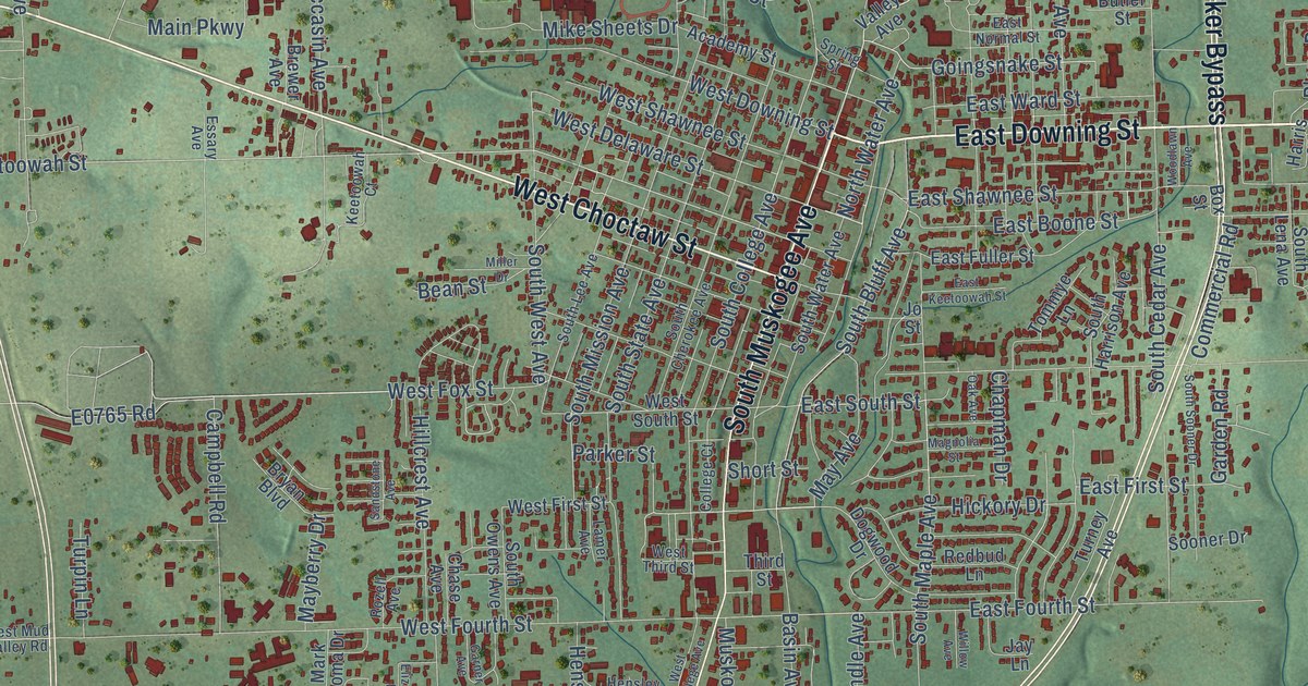
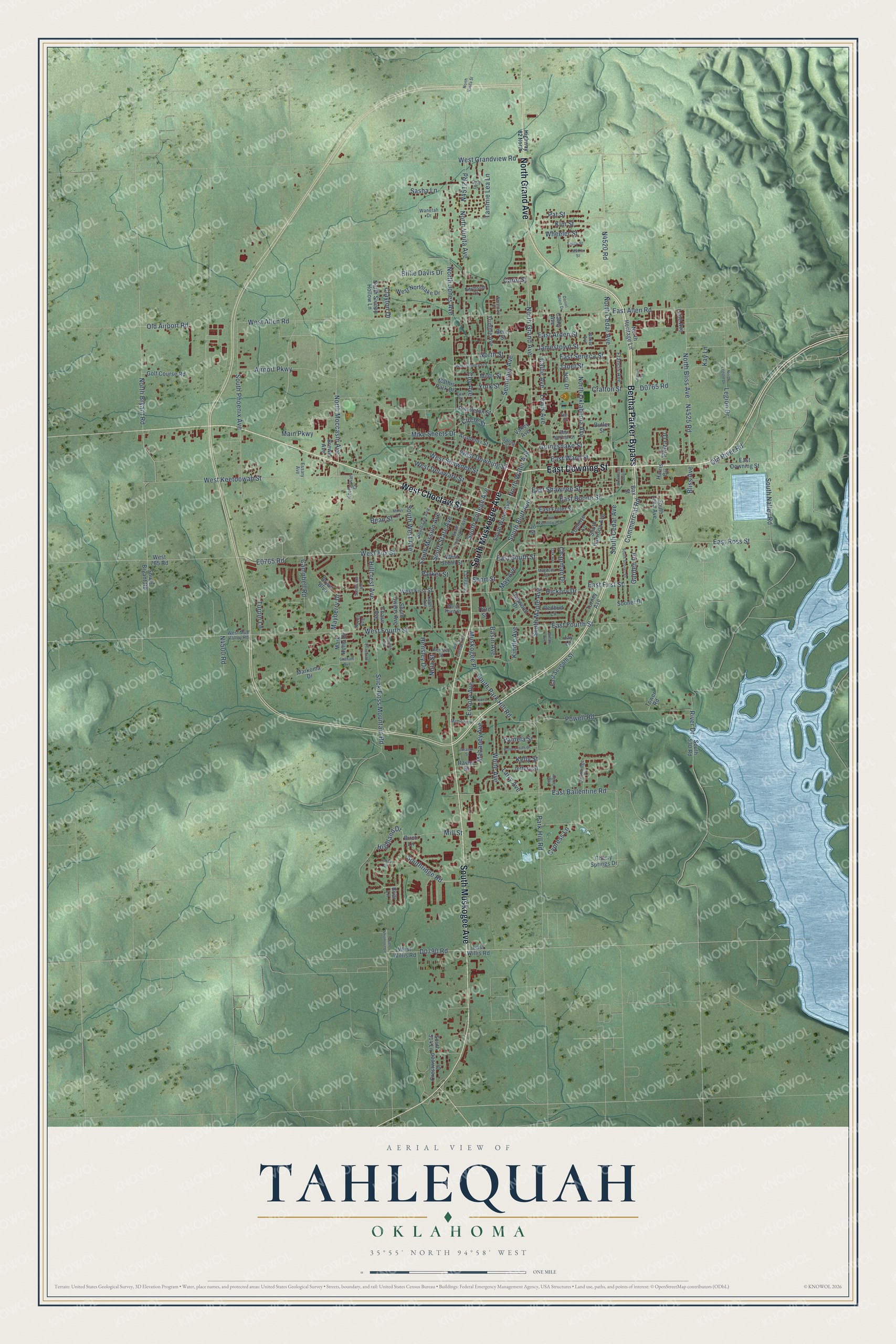
This beautifully detailed map of Tahlequah, Oklahoma was created in 2026 using aerial imagery combined with modern topographical, census, street and landmark data. It’s a one-of-a-kind view of Tahlequah that combines accurate data with a vintage aesthetic. The map shows every building in its true location, many of the roads carry their names, and the shaded topographic relief shows the shape of the land.
Explore an aerial view of Tahlequah, Oklahoma
On the map you’ll find Bertha Parker Bypass, East Downing Street, West Choctaw Street, South Muskogee Avenue, North Grand Avenue, Wheeler Street, E0765 Road, Highland Drive, Southridge Road, South Bluff Avenue, Mill Street, Kim Street, and more. If you look closely you can even find your house accurately drawn in its correct location. Zoom in on the preview to look for yours.
Did you know this piece of Tahlequah, Oklahoma history?
From Okhistory.org: "In 1844 the Cherokee Supreme Court building and the National Hotel were built, and the Cherokee Advocate newspaper was first printed."
Tahlequah is a city in Cherokee County.
Take a closer look at the Tahlequah map
Street names on the Tahlequah, Oklahoma map
These names are printed on the map of Tahlequah, Oklahoma.
Streets and roads: Bertha Parker Bypass, East Downing Street, West Choctaw Street, South Muskogee Avenue, North Grand Avenue, Wheeler Street, Highland Drive, Southridge Road, South Bluff Avenue, Mill Street, Kim Street, Airport Parkway.
More street names, A to Z
Academy Street, Amber Way, Baker Avenue, Basin Avenue, Bean Street, Berry Street, Billie Davis Drive, Birch Lane, Bliss Avenue, Box Street, Brewer Avenue, Briar Lane, Bryan Boulevard, Butler Street, Callie Avenue, Cambridge Circle, Campbell Road, Carol Street, Cathy Avenue, Chapman Drive, Chase Avenue, Cherry Springs Drive, Circle Street, Clayton Drive, College Court, Commercial Road, Coy Avenue, Crafton Place, Crafton Street, Crestwood Drive, Cypress Lane, Daniel Stern Drive, Dogwood Drive, Earl Street, East Allen Road, East Arden Street, East Ballentine Road, East Boone Street, East First Street, East Fourth Street, East Fuller Street, East Keetoowah Street, East Normal Street, East Ross Street, East Seneca Street, East Seventh Street, East Shawnee Street, East South Street, East Ward Street, East Willis Road, Echota Avenue, Elizabeth Lane, Elm Street, Essary Avenue, Evans Street, Francis Avenue, Garden Road, Garner Avenue, Gerri Drive, Goingsnake Street, Golf Course Road, Graham Avenue, Harris Circle, Hensley Drive, Hensley Street, Hickory Drive, Highway 82 North, Hillcrest Avenue, Jamestown Street, Janet Street, Jay Lane, Jeffery Street, Jo Street, Kay Lane, Keetoowah Court, Kelly Street, Kindle Avenue, Lakes Drive, Lamer Avenue, Lane Avenue, Larry Avenue, Legion Drive, Lewis Avenue, Magnolia Street, Mahaney Avenue, Main Parkway, Mark Homa Drive, Markoma Drive, Mathis Park Drive, May Avenue, Mayberry Drive, McKie Street, Mike Sheets Drive, Miller Drive, Mimosa Lane, Minor Street, Muskogee Place, Nola Street, North Bliss Avenue, North Bryant Road, North Cedar Avenue, North Heritage Lane, North Jones Avenue, North Legion Drive, North Moccasin Avenue, North Oklahoma Avenue, Northpark Drive, Northside Court, North Sleepy Hollow Lane, North Street, North Vinita Avenue, North Vinita Street, North Water Avenue, Nsu Drive, Oak Avenue, Old Airport Road, Old River Road, Pamela Street, Parker Street, Park Hill Road, Pat Street, Pendleton Street, Plaza Drive, Powell Road, Rayne Street, Reasor Street, Redbud Lane, River Drive, Rolling Hills Drive, Rozell Avenue, Sandstone Avenue, Sasha Lane, Seminary Avenue, Short Street, Sooner Drive, South 514 Lane, South 530 Road, South Bryant Road, South Cedar Avenue, South Cherokee Avenue, South College Avenue, South Harrison Avenue, South Lee Avenue, South Lena Avenue, South Maple Avenue, South Mission Avenue, South Nalley Road, South Owens Avenue, South Park Hill Road, South Phoenix Avenue, South Sooner Drive, South State Avenue, South Water Avenue, South West Avenue, South Whitmore Lane, Spring Street, Stick Ross Mountain Road, Talley Street, Tammie Lea Lane, Third Street, Tommye Lane, Tower Road, Trimble Avenue, Turney Avenue, Turpin Lane, Valley Avenue, Wanetah Drive, West 765 Road, West Allen Road, West College Avenue, West Delaware Street, West Downing Street, West First Street, West Fourth Street, West Fox Street, West Grandview Road, West Keetoowah Street, West Mud Valley Road, West Northlake Drive, West Seneca Street, West Shawnee Street, West South Street, West Third Street, West Willis Road, White Avenue, Willow Avenue, Woodlawn Avenue, York Street.
See the Tahlequah, Oklahoma map on a wall
The Tahlequah map as an 18 x 24 inch print in a black frame.

This beautifully detailed map of Tahlequah makes an attractive addition to your office, library, or den, and it can even be used to teach children the geography and history of the area. It also makes a great gift for anyone with Tahlequah roots. When you’re done exploring, click here to get your copy of the Tahlequah map.