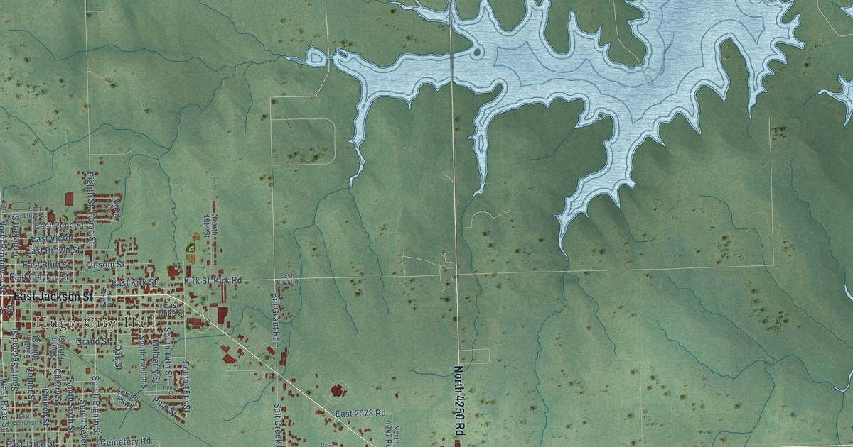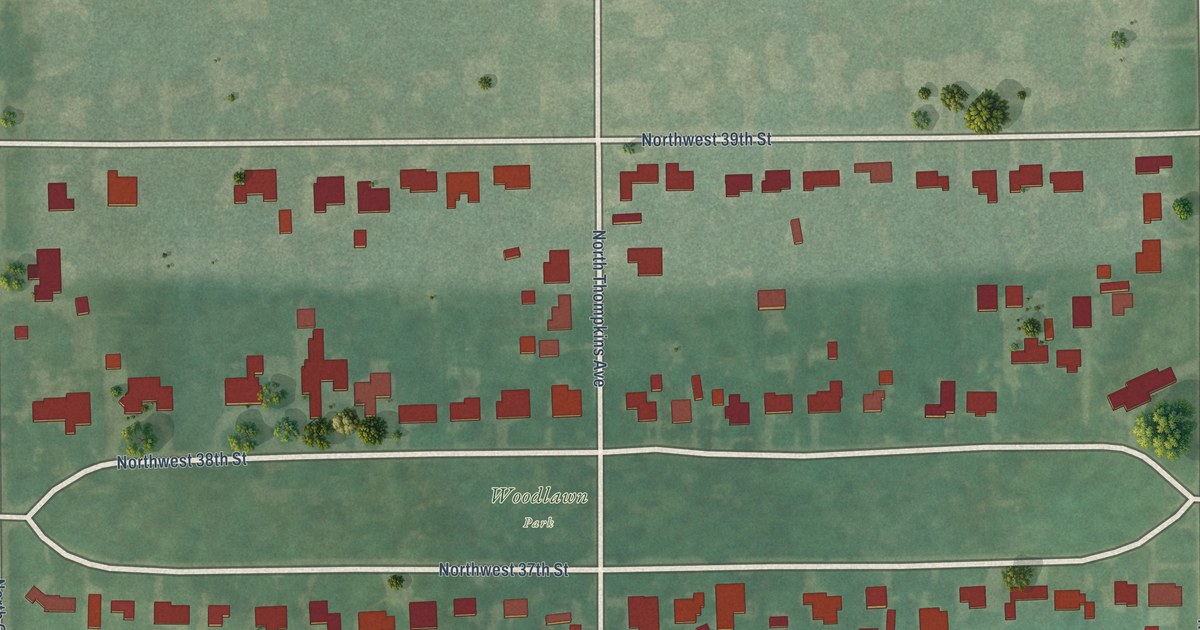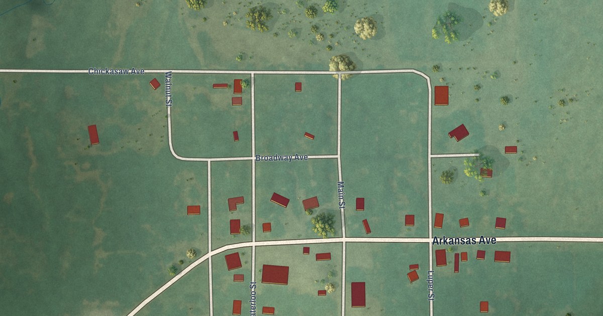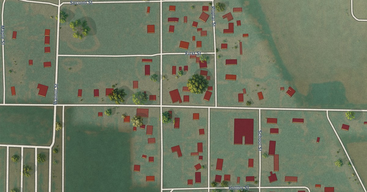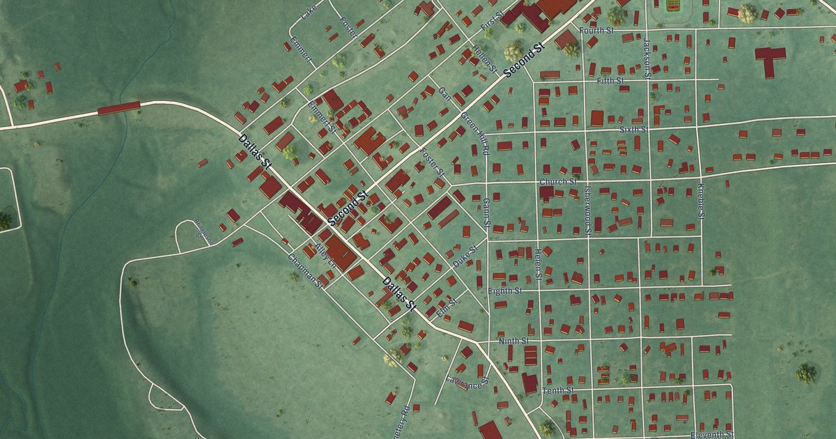
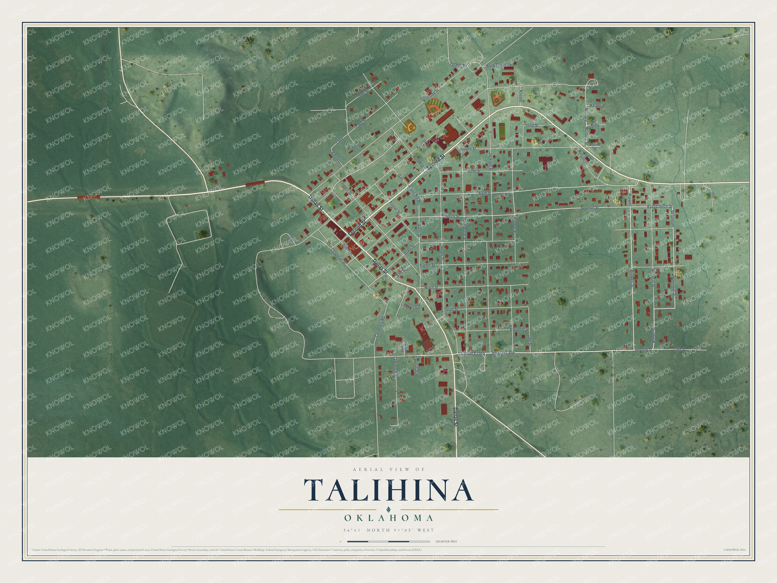
This beautifully detailed map of Talihina, Oklahoma was created in 2026 using aerial imagery combined with modern topographical, census, street and landmark data. It's a modern aerial view of Talihina in Le Flore County, Oklahoma, that combines modern data with a vintage aesthetic. The roads feature printed names, and if you look closely you can find your exact house accurately shown in its correct location.
Explore an aerial view of Talihina, Oklahoma
On this map you'll find Dallas Street, Second Street, Prewett Street, Norbury Street, Veterans Avenue, Co Road E1565, Robert Street, Ninth Street, Sequoyah Street, East Church Street, Sequoyah, Prewett, and more. Each red shape is a building, so zoom in on the preview and look for yours.
Talihina has a story worth telling. The record at okhistory.org puts it this way: "In the period between 1915 and 1921 two major hospitals, the Choctaw-Chickasaw Tuberculosis Sanatorium and the Eastern Oklahoma State Tuberculosis Sanatorium, were built against the foothills of Buffalo Mountain just northwest of Talihina."
Talihina is a town in Le Flore County.
Take a closer look at the Talihina map
Names on this map
These names are printed on this map.
Places: Lake.
Streets and roads: Dallas Street, Second Street, Prewett Street, Norbury Street, Veterans Avenue, Robert Street, Ninth Street, Sequoyah Street, East Church Street, Sequoyah, Prewett, Church Street.
More street names, A to Z
13th Street, Alley Lane, Bringleson Street, Cemetery Road, Chapman Street, Deer Street, Duke Street, Eighth Street, Eleventh Street, Elm Street, Emmert, Emmert Street, Fifth Street, First Street, Foster, Foster Street, Fourth Street, Gan, Gann Street, Green Hill Road, Harper, Helen Street, Hellen Street, Isherwood Street, Jackson Street, Knebel, Kneble Street, Lake Street, Lawrance Street, Lawrence Street, Lee Street, Nelson Drive, Norbury, O'Danial Street, Railroad Street, Roberts Street, Rock Creek Road, Ruby, Seventh Street, Sixth Street, Tenth Street, Third Street, Tucker Road, Veteran's Boulevard, Veterans Street.
Created by KNOWOL in 2026. The buildings are small red shapes, the roads carry their printed names, and shaded relief shows the shape of the land. The title panel reads "AERIAL VIEW OF TALIHINA OKLAHOMA" with 34°45' NORTH 95°03' WEST.
It looks right in a kitchen, an office or a den, and it's a gift for anyone who grew up in Talihina or moved away. Open the preview and find your street. See sizes and frames for the Talihina map.