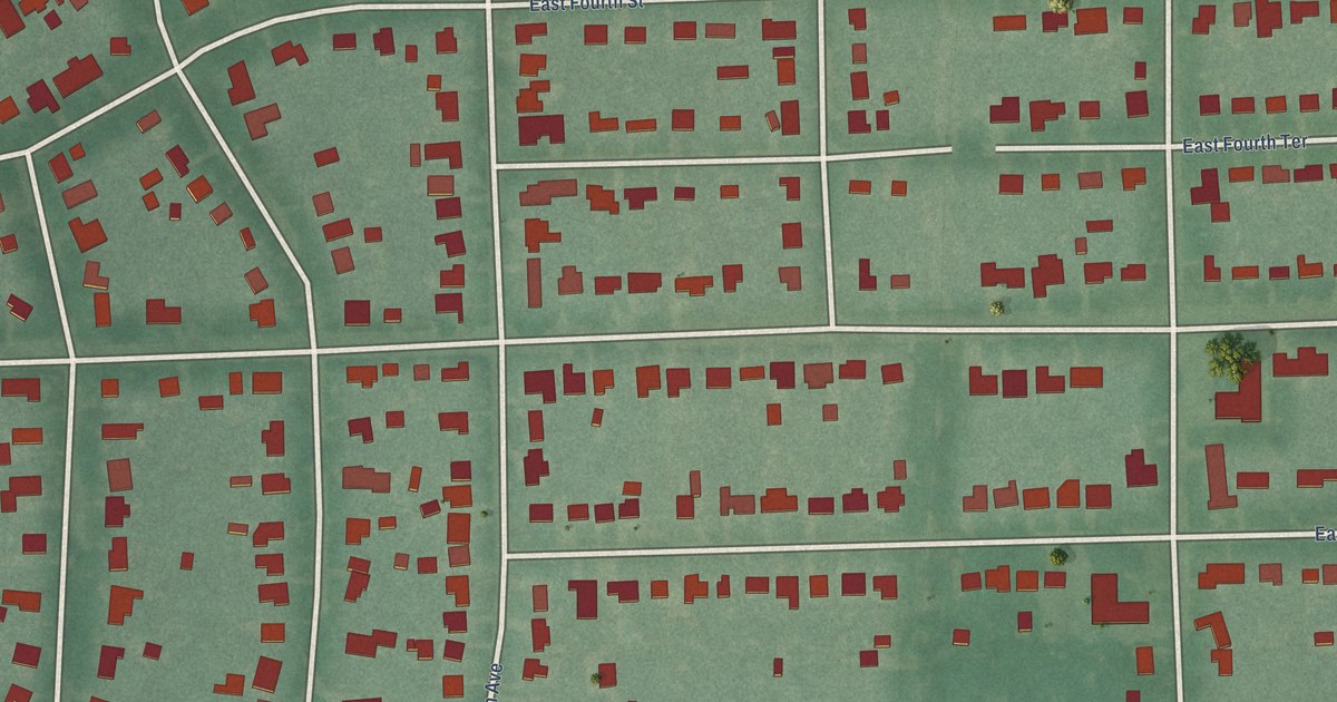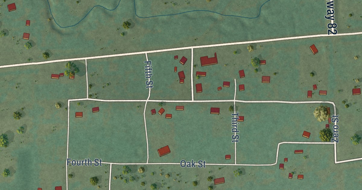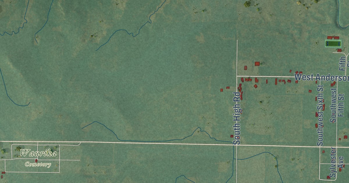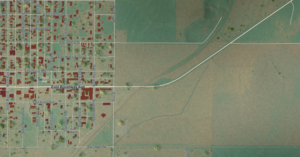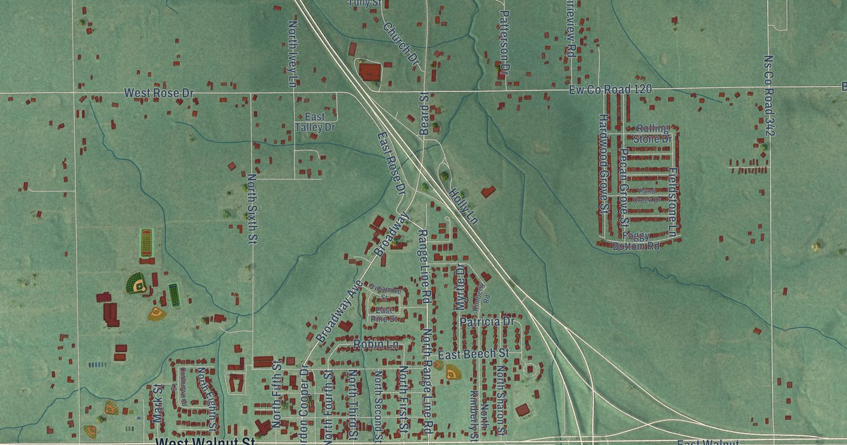
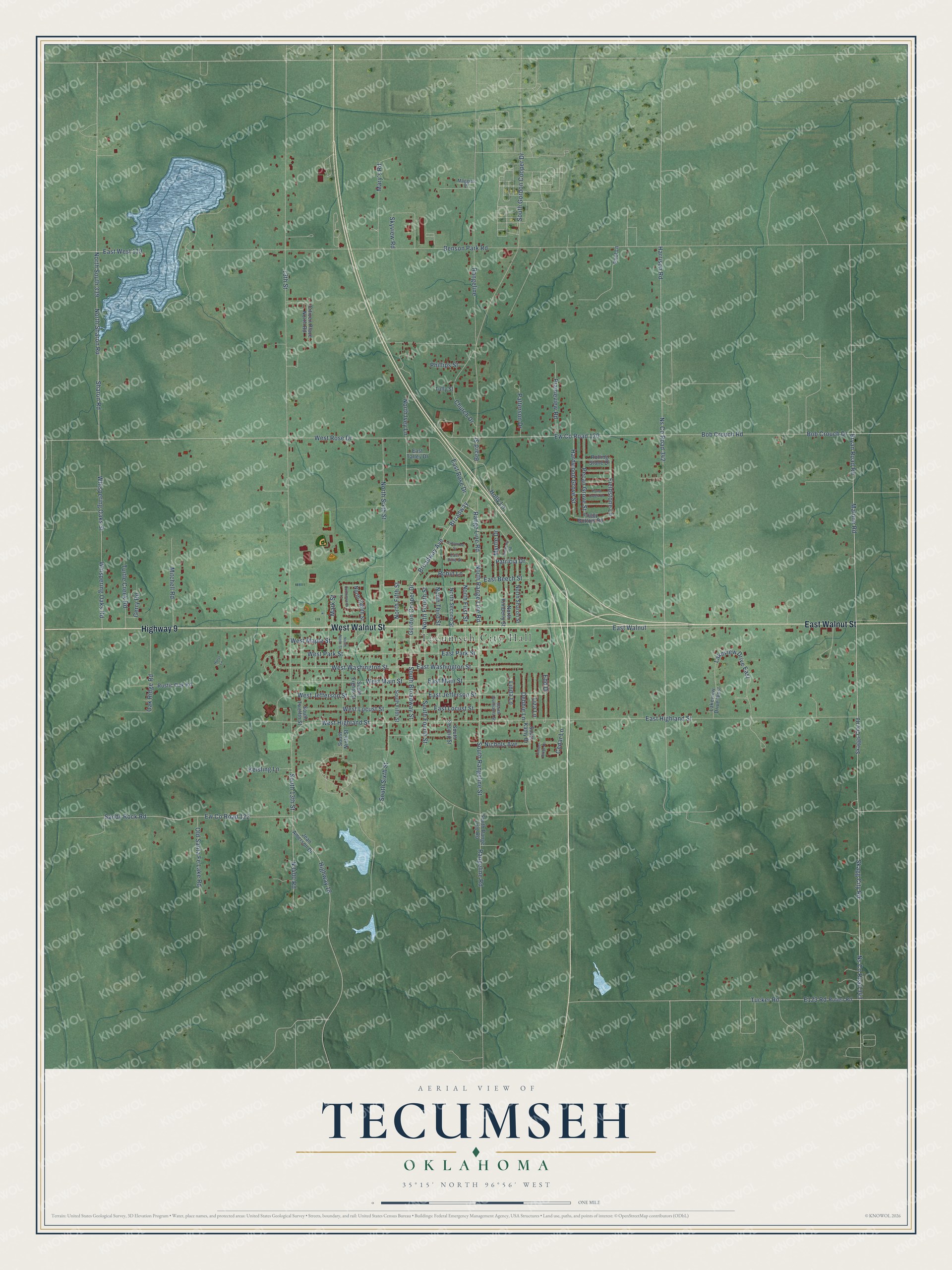
This beautifully detailed map of Tecumseh, Oklahoma was created in 2026 using aerial imagery combined with modern topographical, census, street and landmark data. It’s a one-of-a-kind view of Tecumseh that combines accurate data with a vintage aesthetic. The map shows every building in its true location, many of the roads carry their names, and the shaded topographic relief shows the shape of the land.
Explore an aerial view of Tecumseh, Oklahoma
On the map you’ll find Tecumseh City Hall, along with East Walnut Street, West Walnut Street, Highway 9, Broadway Avenue, West Washington Street, North Range Line Road, Range Line Road, East Washington Street, East Rose Drive, West Rose Drive, Gordon Cooper Drive, and more. If you look closely you can even find your house accurately drawn in its correct location. Zoom in on the preview to look for yours.
Did you know this piece of Tecumseh, Oklahoma history?
From Okhistory.org: "Named after the famous Shawnee chief, the location was selected by a U.S. Army major sent from Fort Reno in the summer of 1891."
Tecumseh is a city in Pottawatomie County.
Take a closer look at the Tecumseh map
Street and place names on the Tecumseh, Oklahoma map
These names are printed on the map of Tecumseh, Oklahoma.
Places: Tecumseh City Hall.
Streets and roads: East Walnut Street, West Walnut Street, Highway 9, Broadway Avenue, West Washington Street, North Range Line Road, Range Line Road, East Washington Street, Bryan Road Road, East Rose Drive, West Rose Drive, Gordon Cooper Drive.
More street names, A to Z
13th Street, Beard Street, Benson Park Road, Bob Crouch Drive, Bob Crouch Road, Broadway, Cedar Lane, Church Drive, Citizen Place North Road, Cottonwood Lane, Debbie Lane, East Beech Street, East Highland Street, East Jefferson Street, East Locust Street, East Main Street, East Park Street, East Pine Street, East Talley Drive, East Walnut, East West 119, Edd Drive, Ew County Road 120, Ew County Road 122, Fieldstone Lane, Foggy Bottom Road, Gerry Road, Hardwood Grove Street, Harrison Road, Highway 18, Holly Lane, Hurst Lane, Jean Amerson Drive, Keisling Lane, Kimberly Road, Lakeview Drive East, Lakeview Drive West, Linda Lane, Liza Lane, Maggies Place, Malone Road, Mark Street, Mary's Road, Mitchell Road, Myrtle Drive, Nichols Avenue, North Eighth Street, North Fifth Street, North First Street, North Fourth Street, North Ivey Lane, North Kimberly Street, North Ninth Street, North Second Street, North Sharon Road, North Sharon Street, North Sixth Street, North South 339, North Third Street, Ns County Road 342, Ns County Road 343, Oak Ridge Road, Old Santa Fe Lake Road, Patricia Drive, Patterson Drive, Pecan Grove Street, Phillips Street, Pond Creek Drive, Pool Lane, Prairieview Road, Rangeline, Rangeline Road, Robin Lane, Rolling Stone Drive, Ruben Road, Rustic Oak Road, Sandy Rock Road, Sharon Road, Skagg City Road, Skaggs City Road, Skyview Road, South 13th Street, South Broadway Street, South Eighth Street, South Fifth Street, South Fourth Street, South Gordon Cooper Drive, South Guilliams Street, South Kathy Drive, South Ninth Street, South Range Line Road, South Rangeline Street, South Second Street, South Sixth Street, South Twelfth Street, Sycamore Street, Timber Ridge Drive, Tucker Road, Tully Street, Turtle Creek Road, West Highland Street, West Jefferson Street, West Locust Street, West Main Street, West Maple Street, West Park Street, Whispering Oaks Road, Whispering Oaks Street.
See the Tecumseh, Oklahoma map on a wall
The Tecumseh map as an 18 x 24 inch print in a black frame.

This beautifully detailed map of Tecumseh makes an attractive addition to your office, library, or den, and it can even be used to teach children the geography and history of the area. It also makes a great gift for someone who left Tecumseh and still calls it home. When you’re done exploring, click here to get your copy of the Tecumseh map.