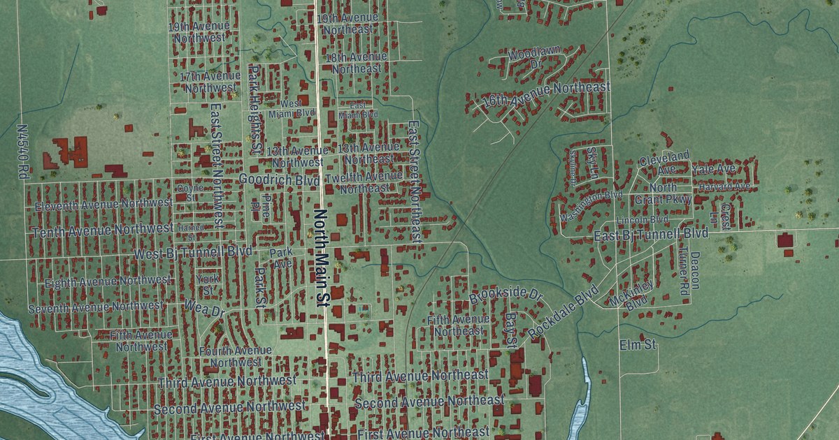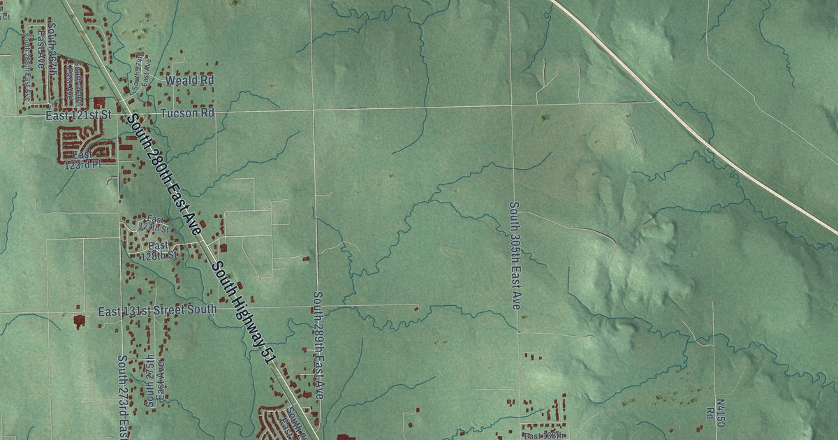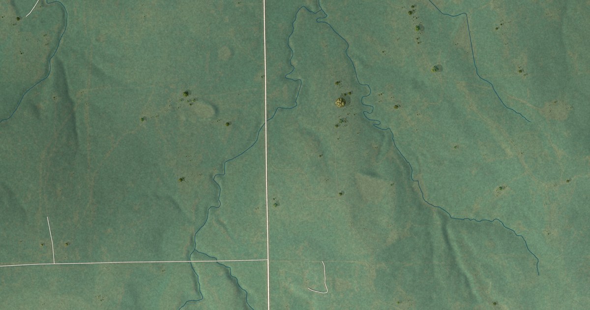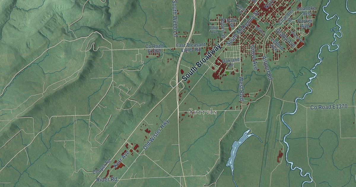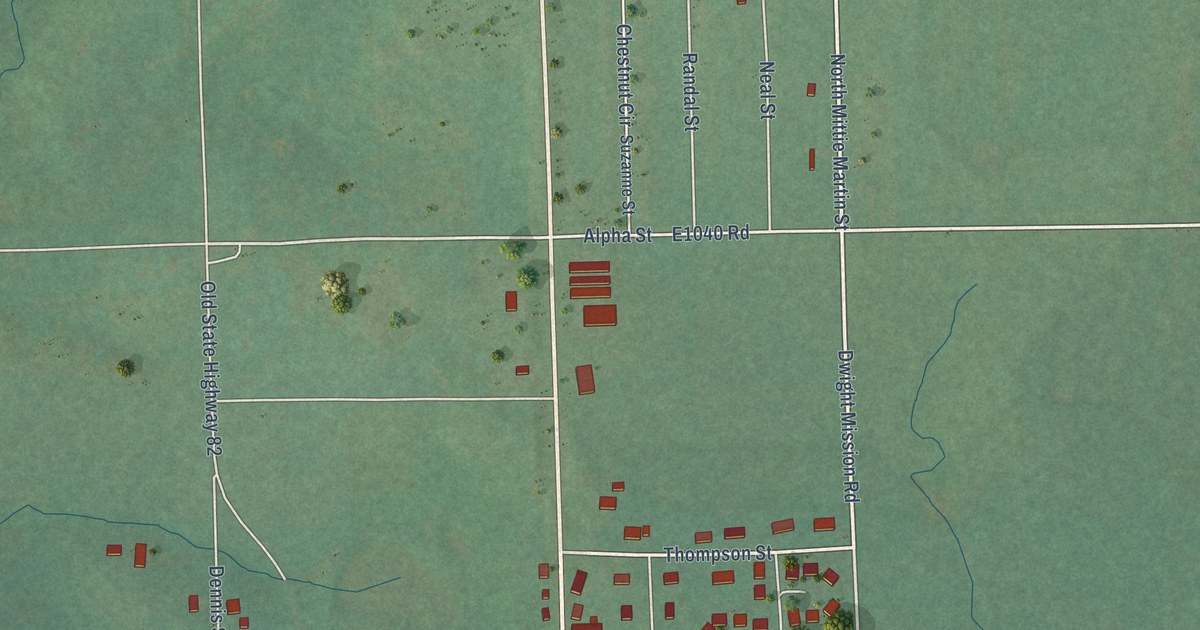
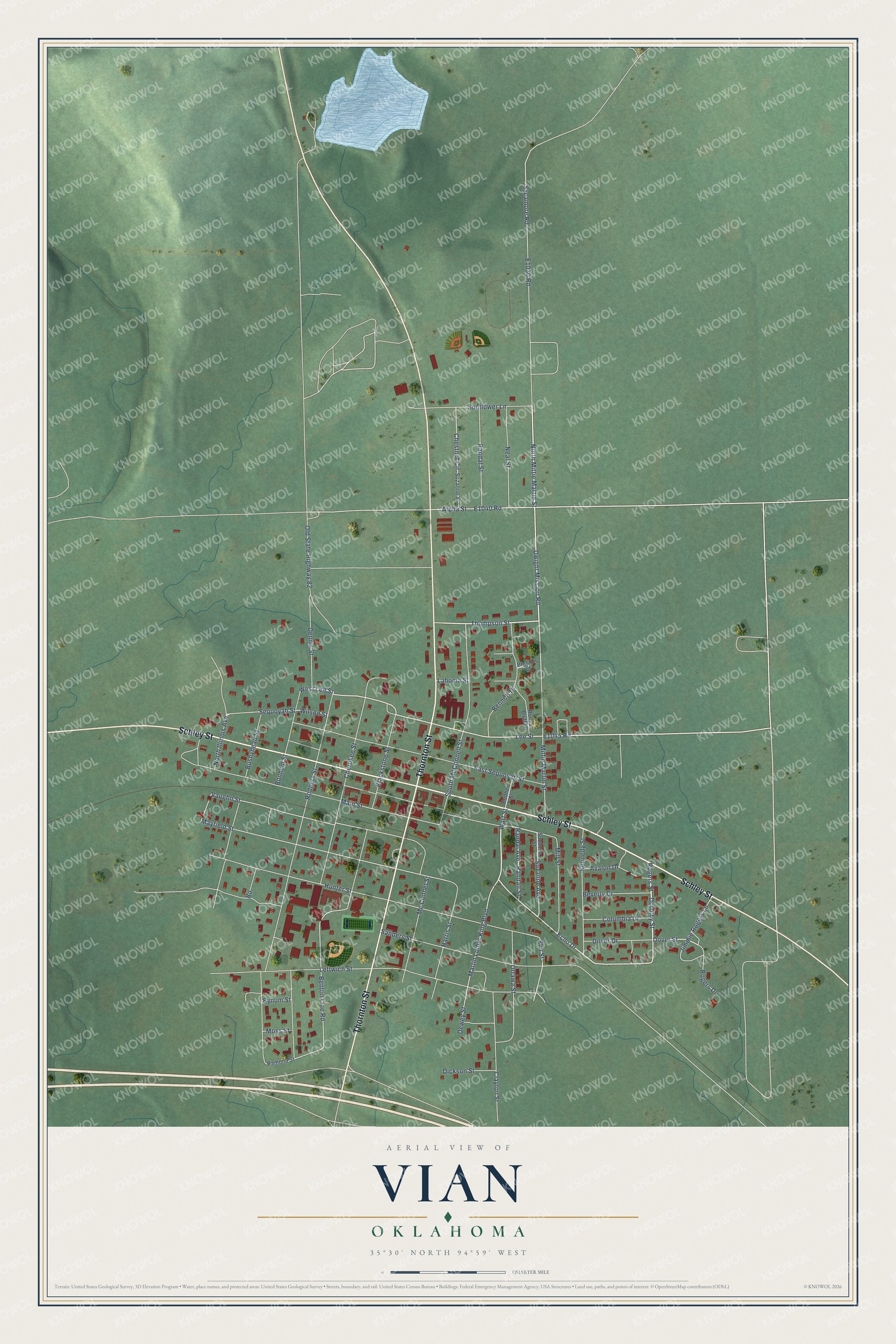
This beautifully detailed map of Vian, Oklahoma was created in 2026 using aerial imagery combined with modern topographical, census, street and landmark data. It's a modern aerial view of Vian in Sequoyah County, Oklahoma, that combines modern data with a vintage aesthetic. The roads feature printed names, and if you look closely you can find your exact house accurately shown in its correct location.
Explore an aerial view of Vian, Oklahoma
On this map you'll find Schley Street, Thornton Street, North Mittie Martin Street, Dorothy Street, Rogers Street, Dwight Mission Road, Echo Drive, Randal Street, Lee Street, Dover Street, Thompson Street, E1040 Road, and more. Each red shape is a building, so zoom in on the preview and look for yours.
Here is a piece of Vian history, in the words of the record. The record at okhistory.org puts it this way: "The first postmaster, Mahala Thompson, originally wanted to name the post office, established in 1886, Round Mountain, but that name had been taken."
Vian is a town in Sequoyah County.
Take a closer look at the Vian map
Names on this map
These names are printed on this map.
Streets and roads: Schley Street, Thornton Street, North Mittie Martin Street, Dorothy Street, Rogers Street, Dwight Mission Road, Echo Drive, Randal Street, Lee Street, Dover Street, Thompson Street, West Lee Street.
More street names, A to Z
Alpha Street, Avalon Drive, Bennett Drive, Benton Line Road, Beverly Drive, Blackstone Street, Bonham Street, Booher Street, Bushyhead Street, Bynum Street, Cherokee Street, Chestnut Circle, Clayton Street, Columbia Drive, Dennis Street, Dewey Street, Dickson Street, Dover Drive, East Sequoyah Street, Elm Street, Harris Street, Hunter Street, Jimmie Rogers Lane, Kennedy Street, Lahoma Street, Leftwich Street, Main Street, Martin Luther King Boulevard, Mayfield Street, Mc Connel Street, Mill Street, Mittie Martin Street, Moss Street, Neal Street, North Illinois Avenue, Old State Highway 82, Ottawa Street, Preston Court, Ramona Street, Randal Avenue, Randall Street, Rodgers Street, Rogers Drive, Runyan Bluff Lane, Sanders Street, Sequoyah Street, South McConnell Street, Sunflower Lane, Suzanna Street, Suzanne Avenue, Suzanne Street, Sycamore Road, Vaughn Street, Wart Street, Wilson Street.
Created by KNOWOL in 2026. The buildings are small red shapes, the roads carry their printed names, and shaded relief shows the shape of the land. The title panel reads "AERIAL VIEW OF VIAN OKLAHOMA" with 35°30' NORTH 94°59' WEST.
It suits a den, a classroom or a front hall, and it makes a gift for anyone with Vian roots. Open the preview and find the block you know. See sizes and frames for the Vian map.