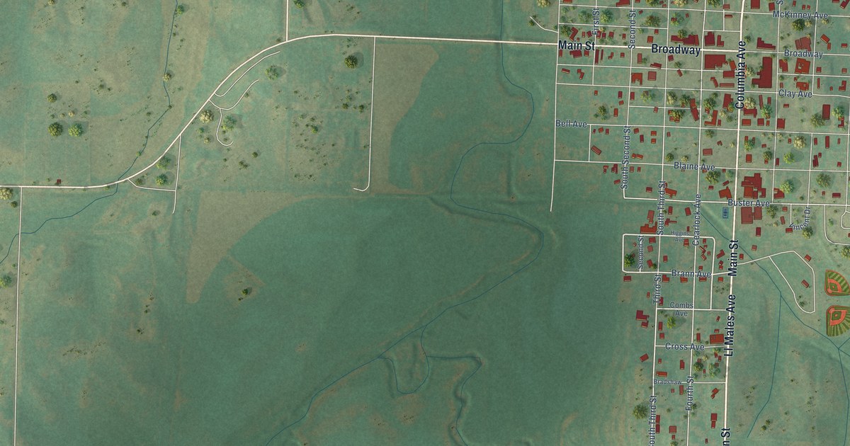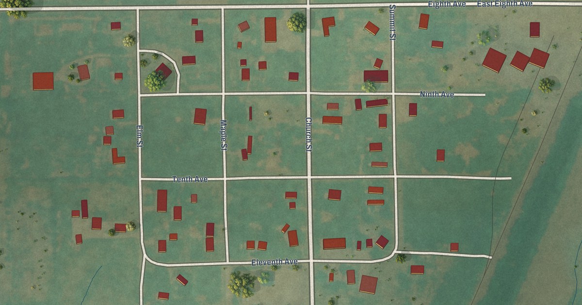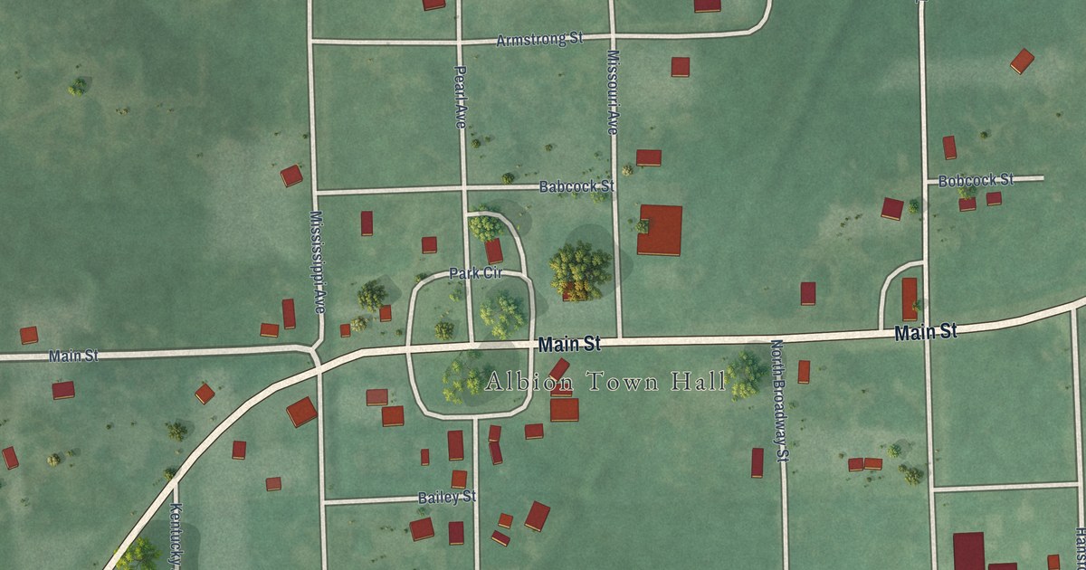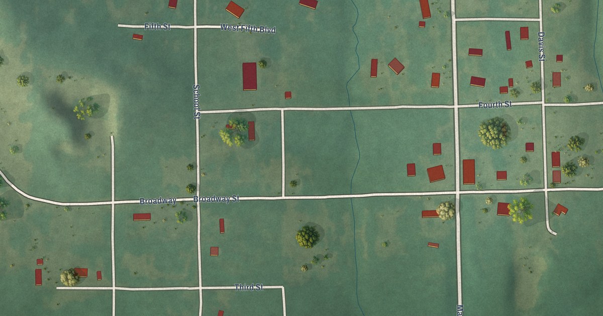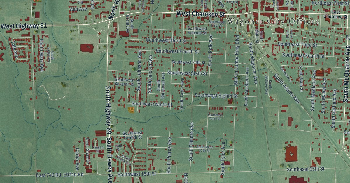
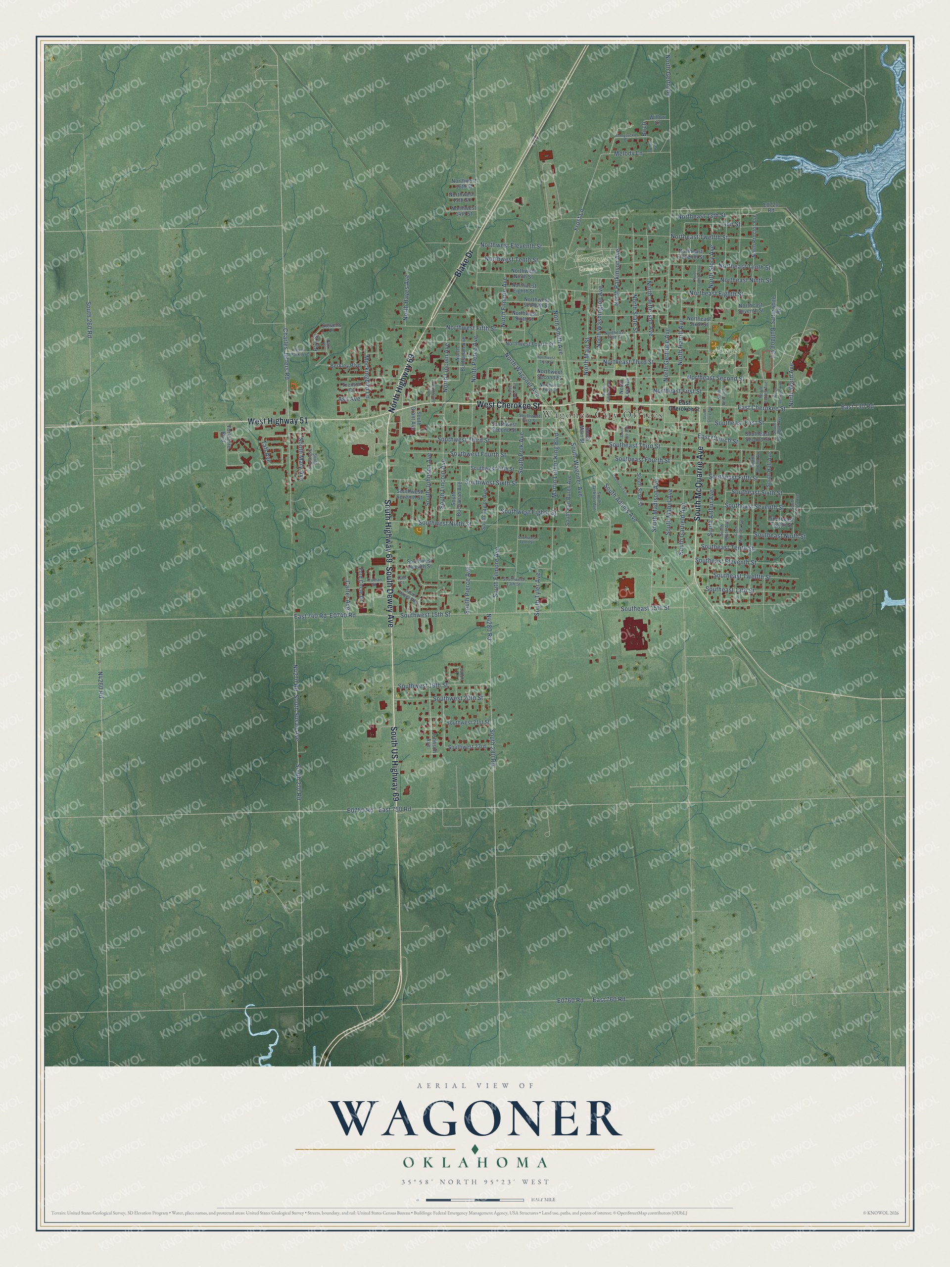
This beautifully detailed map of Wagoner, Oklahoma was created in 2026 using aerial imagery combined with modern topographical, census, street and landmark data. It’s a one-of-a-kind view of Wagoner that combines accurate data with a vintage aesthetic. The map shows every building in its true location, many of the roads carry their names, and the shaded topographic relief shows the shape of the land.
Explore an aerial view of Wagoner, Oklahoma
On the map you’ll find Wagoner City Offices, Elmwood Cemetery, and Maple Park, along with South US Highway 69, West Cherokee Street, Blake Drive, South Dewey Avenue, South Highway 69, South McQuarrie Avenue, West Highway 51, North Highway 69, East Cherokee Street, and more. If you look closely you can even find your house accurately drawn in its correct location. Zoom in on the preview to look for yours.
Did you know this piece of Wagoner, Oklahoma history?
From Okhistory.org: "On January 4, 1896, the U.S. District Court approved the application, making Wagoner the first incorporated town in Indian Territory."
Wagoner is a city in Wagoner County.
Take a closer look at the Wagoner map
Street and place names on the Wagoner, Oklahoma map
These names are printed on the map of Wagoner, Oklahoma.
Places: Wagoner City Offices, Elmwood Cemetery and Maple Park.
Streets and roads: South US Highway 69, West Cherokee Street, Blake Drive, South Dewey Avenue, South Highway 69, South McQuarrie Avenue, West Highway 51, North Highway 69, East Cherokee Street, East 730 Road, North Ward Avenue, Bulldog Circle.
More street names, A to Z
13th Court, Ash Avenue, Berkley Boulevard, Birch, Carter Avenue, Champlain Lane, Charles Jeffers Road, East 740 Road, East 750 Road, East 760 Road, East Church Street, Ford Circle Drive, Frost Lane, Honeysuckle Drive, Jacob Lane, Johnson Avenue, Linn Street, Martin Luther King Boulevard, Melody Lane, Mockingbird Lane, North Bennett Avenue, North Bettes Avenue, North Buchanan Avenue, North Casaver Avenue, Northeast 13th Street, Northeast Eighth Street, Northeast Eleventh Street, Northeast Fifth Street, Northeast First Street, Northeast Ninth Street, Northeast Second Street, Northeast Seventh Street, Northeast Sixth Street, Northeast Tenth Street, Northeast Third Street, Northeast Twelfth Street, North Filmore Avenue, North Gertrude, North Gertrude Avenue, North Graham Avenue, North Harrill Avenue, North Hayes Avenue, North Jefferson Avenue, North Johnson Avenue, North Lee Avenue, North Lincoln Avenue, North Main Street, North Moss Avenue, North Parkinson Avenue, North Pierce Avenue, North Proctor Avenue, North Smith Avenue, North Sprague Avenue, North State Street, North Story Avenue, North Wagoner Avenue, North Washington Avenue, Northwest 14th Street, Northwest 15th Street, Northwest 16th Street, Northwest Eighth Street, Northwest Eleventh Street, Northwest Fifth Street, Northwest First Street, Northwest Fourth Street, Northwest Ninth Street, Northwest Second Street, Northwest Seventh Street, Northwest Sixth Street, Northwest Tenth Street, Northwest Third Street, Park Place, Park Street, Red Oak Road, River Park Avenue, Satterwhite Road, South 260 Road, South 270 Road, South 280 Road, South Adams Avenue, South Arthur Avenue, South Buchanan Avenue, Southeast 13th Street, Southeast 15th Street, Southeast Eighth Street, Southeast Eleventh Street, Southeast Fifth Street, Southeast First Street, Southeast Fourth Street, Southeast Ninth Street, Southeast Second Street, Southeast Seventh Street, Southeast Sixth Street, Southeast Tenth Street, Southeast Third Street, Southeast Twelfth Street, South Essie Avenue, South Filmore Avenue, South Garfield Avenue, South Grant Avenue, South Hall Avenue, South Harris Avenue, South Hayes Avenue, South Jackson Avenue, South Johnson Avenue, South Lee Avenue, South Lincoln Avenue, South Mabel Avenue, South Madison Avenue, South Main Street, South Mary Avenue, South McKinley Avenue, South Pierce Avenue, South Polk Avenue, South Powell Avenue, South Sprague Avenue, South State Street, South Story Avenue, South Susan Avenue, South Taylor Avenue, South Tyler Avenue, South Van Buren Avenue, South Wagoner Avenue, Southwest 13th Street, Southwest 15th Street, Southwest 19th Street, Southwest 20th Street, Southwest 21st Street, Southwest 23rd, Southwest Eighth Street, Southwest Fifth Street, Southwest First Street, Southwest Fourth Street, Southwest Ninth Street, Southwest Second Street, Southwest Seventh Street, Southwest Sixth Street, Southwest Tenth Street, Southwest Third Street, Southwest Twelfth Street, South White Avenue, Stevens Place, Taft Avenue, Trenton Circle, Truman Street, Willow Lane, Yorkshire Boulevard.
See the Wagoner, Oklahoma map on a wall
The Wagoner map as an 18 x 24 inch print in a black frame.

This beautifully detailed map of Wagoner makes an attractive addition to your office, library, or den, and it can even be used to teach children the geography and history of the area. It also makes a great gift for someone who left Wagoner and still calls it home. When you’re done exploring, click here to get your copy of the Wagoner map.