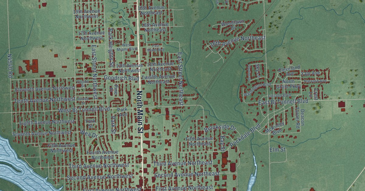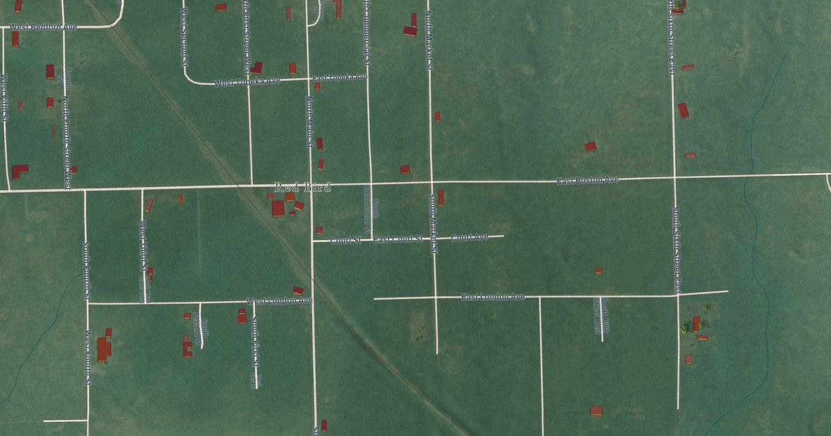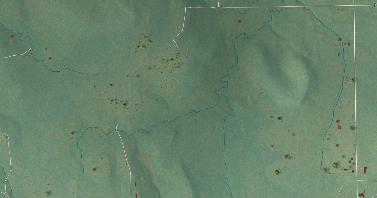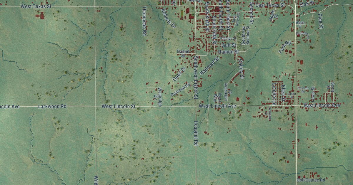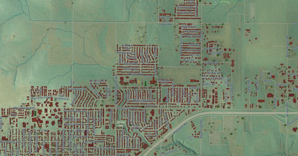
This beautifully detailed map of Weatherford, Oklahoma was created in 2026 using aerial imagery combined with modern topographical, census, street and landmark data. It's a modern aerial view of Weatherford in Custer County, Oklahoma, that combines modern data with a vintage aesthetic. The roads feature printed names, and if you look closely you can find your exact house accurately shown in its correct location.
Explore an aerial view of Weatherford, Oklahoma
On this map you'll find Rader Park, Weber Park, Holstrom Road, East Clark Avenue, West Main Street, North Seventh Street, South Lyle Road, Airport Road, Legacy, East Davis Avenue, Eagle Road, West Davis Avenue, and more. Each red shape is a building, so zoom in on the preview and look for yours.
Here is a piece of Weatherford history, in the words of the record. The record at okhistory.org puts it this way: "After the Choctaw, Oklahoma and Gulf Railroad (acquired by Chicago, Rock Island and Pacific Railway in 1902) reached Weatherford in 1898, shipping pens, a depot and platforms, a hotel, and a public water works were built."
Weatherford is a city in Custer County.
Take a closer look at the Weatherford map

Names on this map
These names are printed on this map.
Places: Rader Park and Weber Park.
Streets and roads: Holstrom Road, East Clark Avenue, West Main Street, North Seventh Street, South Lyle Road, Airport Road, Legacy, East Davis Avenue, Eagle Road, West Davis Avenue, South Frontage Road, Hiler Drive.
More street names, A to Z
Alliance, Apple Avenue, Arapaho Road, Bergen Lane, Berry Avenue, Birch Street, Burcham Drive, Camelot Drive, Chestnut Place, Chisholm Trail, Claremont Drive, Club House Drive, Commerce Street, Corbin Lane, Cornerstone Avenue, Crimson Drive, Cypress Drive, Daniel Street, Debra Drive, Deer Creek Road, Delarice Lane, Eagle Ridge Avenue, East Arlington Avenue, East Cedar Avenue, East College Avenue, East Eads Avenue, East Eureka Avenue, East Franklin Avenue, East Huber Avenue, East Kee Street, East Lawter Road, East Main Street, East Oklahoma Avenue, East Proctor Avenue, East Rainey Avenue, East Tom Stafford Avenue, East University Drive, El Dorado Street, Engineering Way, Ez Go Drive, Fairway Drive, Furlong Drive, Grandview Drive, Harvest Drive, Hayride Drive, Hickory Street, Highland Drive, Industrial Boulevard, Jackson Avenue, Jim Cobb Drive, Kaiser Road, Kase Street, Kent Street, Kerri, Koch Drive, Krest Drive, Lanier Avenue, Lanier Drive, Lantern Lane, Lark Road, Lark Street, Lark Terrace, Lawter Road, Lee Street, Lera Drive, Lewis Road, Liberty, Linwood Street, Locust Lane, Logan Road, Lois Lane, Loomis Road, Lyle Road, Lynn Lane, Magnolia Street, Maple Street, Mc Kenzie Drive, Mesquite Drive, Mockingbird Lane, Morgandee Lane, Mulberry Street, Nicklaus Drive, North Airport Road, North Bradley Street, North Broadway Street, North Bryan Street, North Caddo Street, North Cherry Street, North Circle Drive, North Custer Street, North Dead Women Road, North Eighth Street, North Elm Street, North Fifth Street, North First Street, North Fourth Street, North Illinois Street, North Indiana Street, North Kansas Street, North Sixth Street, North State Street, North Terrace Drive, North Third Street, North Washington Avenue, Northwest Main Street, Oak Street, Palmer Drive, Pamela Lane, Patriot, Peach Avenue, Pecan Street, Pine Street, Ping Drive, Pinnacle Drive, Plains Avenue, Pleasant Lane, Quail Avenue, Rolling Hills Street, Route 66 Highway, Route 66 North, Ryan Drive, Saber Lane, Sanders Road, Sandstone Avenue, Schneberger Lane, Seth Avenue, Sherwood Drive, Snow Lane, South Access Road, South Custer Street, South Fourth Street, South Kansas Street, South State Street, South Washington Avenue, Southwest Main Street, Steiner Road, Stonegate Drive, Stratta Drive, Sycamore Street, Technology Drive, Terrace Avenue, Terrace Drive, Texas Street, Timber Creek Drive, Tobi Avenue, Walnut Street, West Clark Avenue, West College Avenue, West Eads Avenue, West Franklin Avenue, Westgate, West Huber Avenue, West Rainey Avenue, West Tom Stafford Avenue, West University Drive, Wilson Road.
Created by KNOWOL in 2026. The buildings are small red shapes, the roads carry their printed names, and shaded relief shows the shape of the land. The title panel reads "AERIAL VIEW OF WEATHERFORD OKLAHOMA" with 35°32' NORTH 98°41' WEST.
It suits a den, a classroom or a front hall, and it makes a gift for anyone with Weatherford roots. Open the preview and find the block you know. See sizes and frames for the Weatherford map.