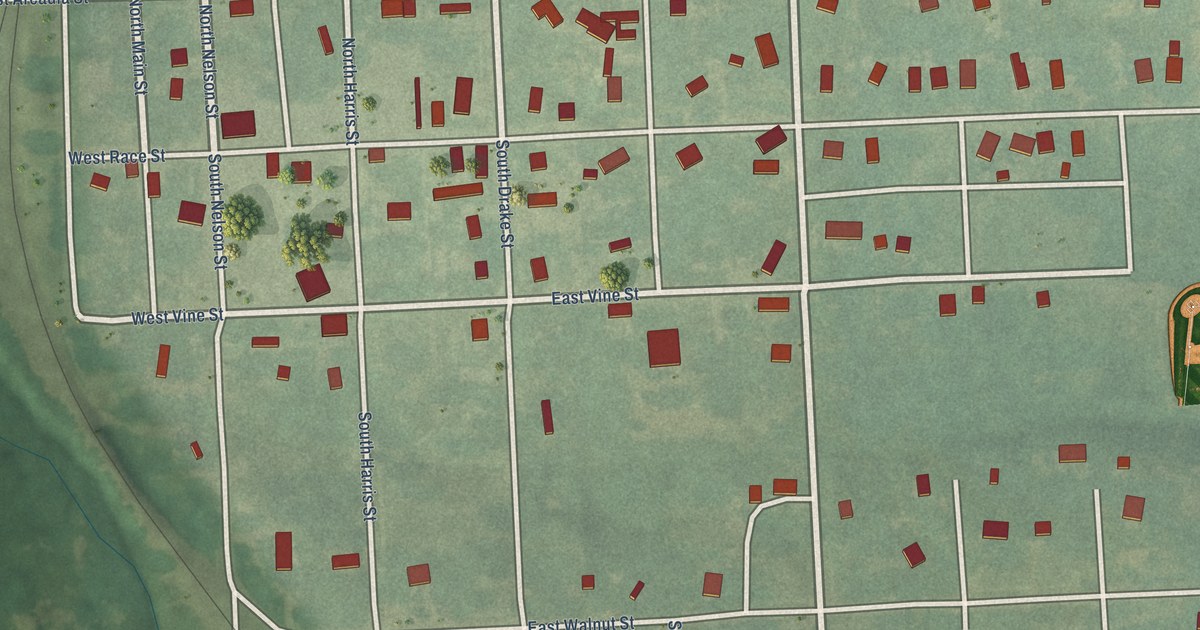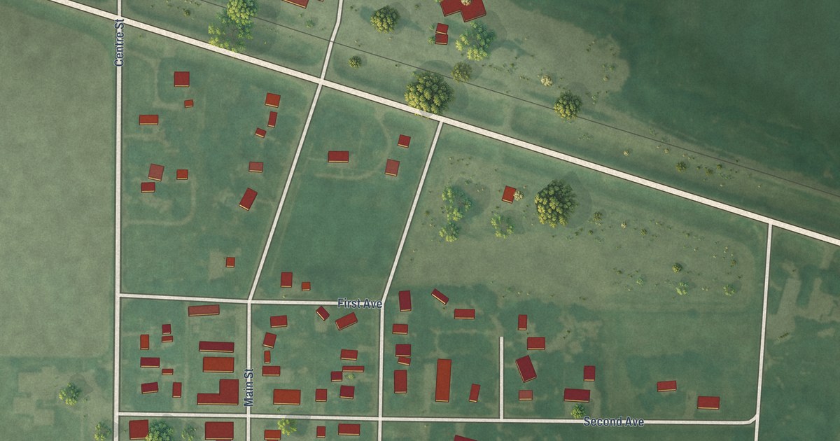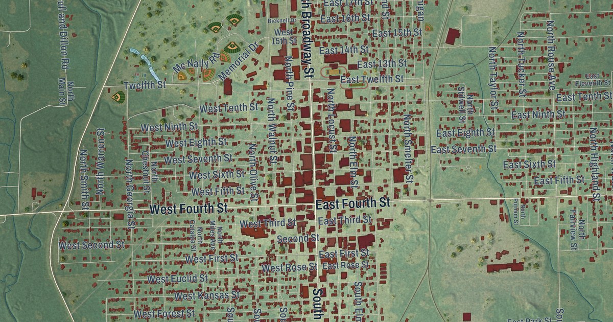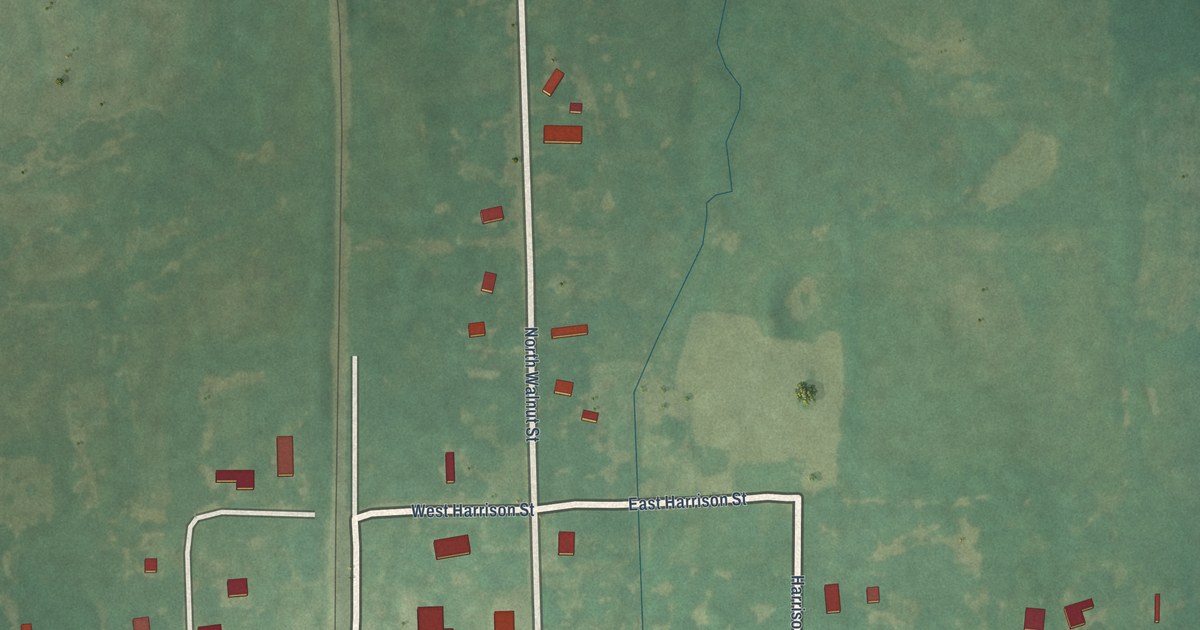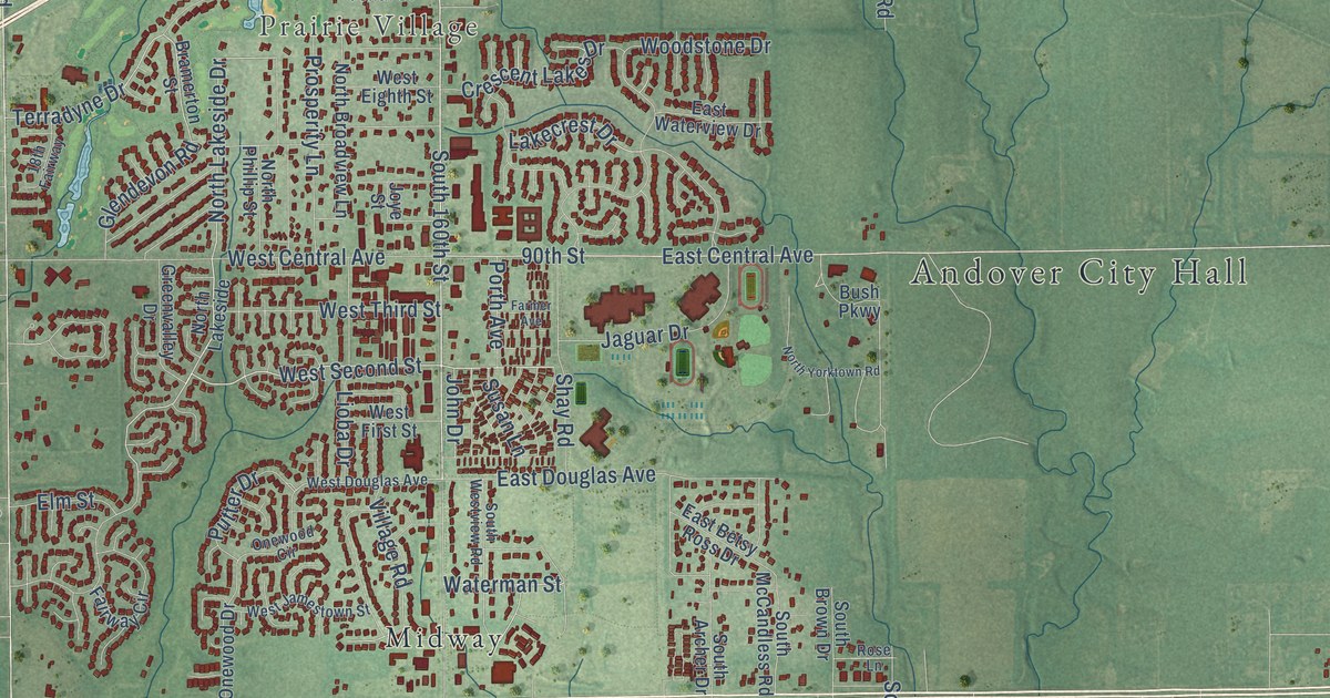
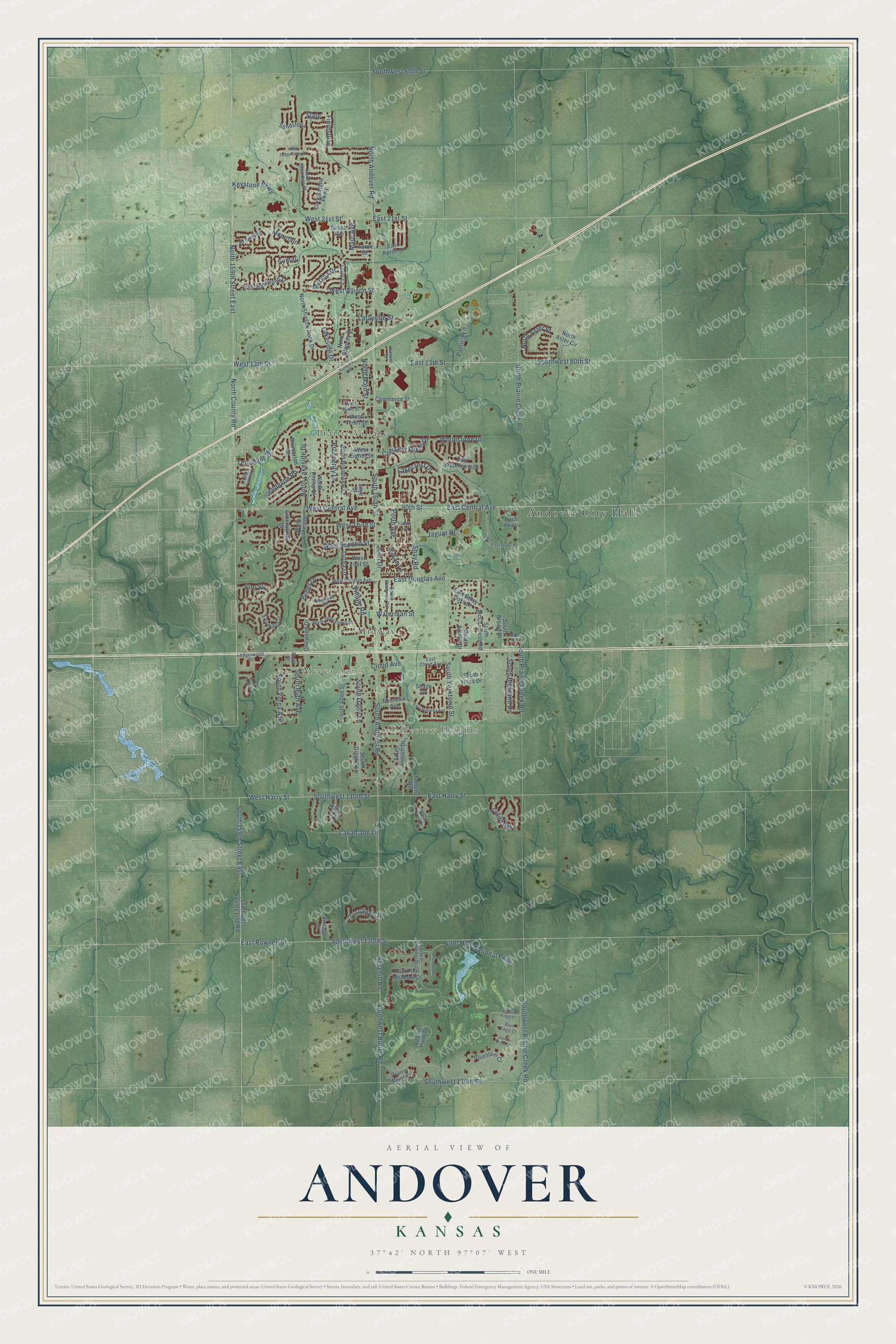
This beautifully detailed map of Andover, Kansas was created in 2026 using aerial imagery combined with modern topographical, census, street and landmark data. It's a modern aerial view of Andover in Butler County, Kansas, that combines modern data with a vintage aesthetic. The roads feature printed names, and if you look closely you can find your exact house accurately shown in its correct location.
Explore an aerial view of Andover, Kansas
On this map you'll find Andover City Hall, Prairie Village, Lakeview Heights, Mecca Acres, Midway, North Lakeside Drive, East Harry Street, West Second Street, South 160th Street, West 13th Street, Southwest 110th Street, West Harry Street, and more. Each red shape is a building, so zoom in on the preview and look for yours.
Here is a piece of Andover history, in the words of the record. The record at kancoll.org puts it this way: "In the spring of 1870 Mr. W. came to Kansas, settling where he now resides, his being one of the first farms opened in that part."
Andover is a city in Butler County. The Census Bureau counted 14,892 people here in 2020.
Take a closer look at the Andover map
Names on this map
These names are printed on this map.
Places: Andover City Hall, Prairie Village, Lakeview Heights, Mecca Acres and Midway.
Streets and roads: North Lakeside Drive, East Harry Street, West Second Street, South 160th Street, West 13th Street, Southwest 110th Street, West Harry Street, North Aster Street, Keystone Parkway, Lakeside Drive, North Andover Road, 90th Street.
More street names, A to Z
18th Fairway, Aaron Drive, Aspen Creek Drive, Blue Sage Court, Bluestem Court, Bramerton Street, Browning, Bush Parkway, Cavalcade Lane, Cloud Avenue, Commerce Street, Cornerstone Parkway, Crescent Lakes Drive, East 13th Street, East 21st Street, East Aaron Drive, East Betsy Ross Drive, East Central Avenue, East Cloud Avenue, East Douglas Avenue, East Minneha Avenue, East Pawnee Street, East Pine Meadow Court, East Quail Ridge Court, East Waterview Drive, Elm Street, Fairway Circle, Farmer Avenue, Fieldstone, Flint Hills National Drive, Flint Hills National Parkway, Glendevon Road, Grace Avenue, Greenvalley Drive, Jaguar Drive, John Drive, Joye Street, Juniper Crest Court, Lafayette Street, Lakecrest Drive, Lantern Lane Court, Lavern Street, Ledgerwood Drive, Lioba Drive, Logan Pass, Marc Avenue, Marsha Drive, Minneha Avenue, Mountain, North 159th Street East, North Aster Circle, North Broadview Lane, North County Road, North Glancey Street, North Lakeside, North Main Street, North Phillip Street, North Prairie Creek Road, North Shadow Rock Drive, North Silverdale Street, North Yorktown Road, Onewood Circle, Onewood Drive, Patrica Lane, Plumthicket Court, Porth Avenue, Prairie Point Court, Prairie Point Drive, Prosperity Lane, Putter Drive, Rosehill Road, Rose Lane, Ruth Street, Sandstone, Shade Street, Shay Road, Slate, South 159th Street East, South Aldrich Drive, South Allen Street, South Andover Road, South Archer Drive, South Brown Drive, South Daisy Lane, South Gingko Lane, South Highland Drive, South McCandless Road, South Prairie Creek Road, South Ruth Avenue, South Verna Avenue, Southwest 60th Street, Southwest 80th Street, Southwest 120th Street, Southwest 130th Street, Southwest Butler Road, Southwest County Line Road, Southwest Prairie Creek Road, South Westview Road, South Ymca Drive, South Yorktown Street, Sumac, Susan Lane, Terradyne Drive, Terry Lane, Timothy Road, Turnpike Road, Tuscany Court, Village Road, Vintage Drive, Waterman Street, West 21st Street, West Allison Street, West Basswood Street, West Central Avenue, West Douglas Avenue, West Eighth Street, West First Street, West Jamestown Street, West Ledgestone Street, West Mike Street, West Tenth Street, West Third Street, Woodstone Drive, Wren Field Drive.
Created by KNOWOL in 2026. The buildings are small red shapes, the roads carry their printed names, and shaded relief shows the shape of the land. The title panel reads "AERIAL VIEW OF ANDOVER KANSAS" with 37°42' NORTH 97°07' WEST.
It suits a den, a classroom or a front hall, and it makes a gift for anyone with Andover roots. Open the preview and find the block you know. See sizes and frames for the Andover map.