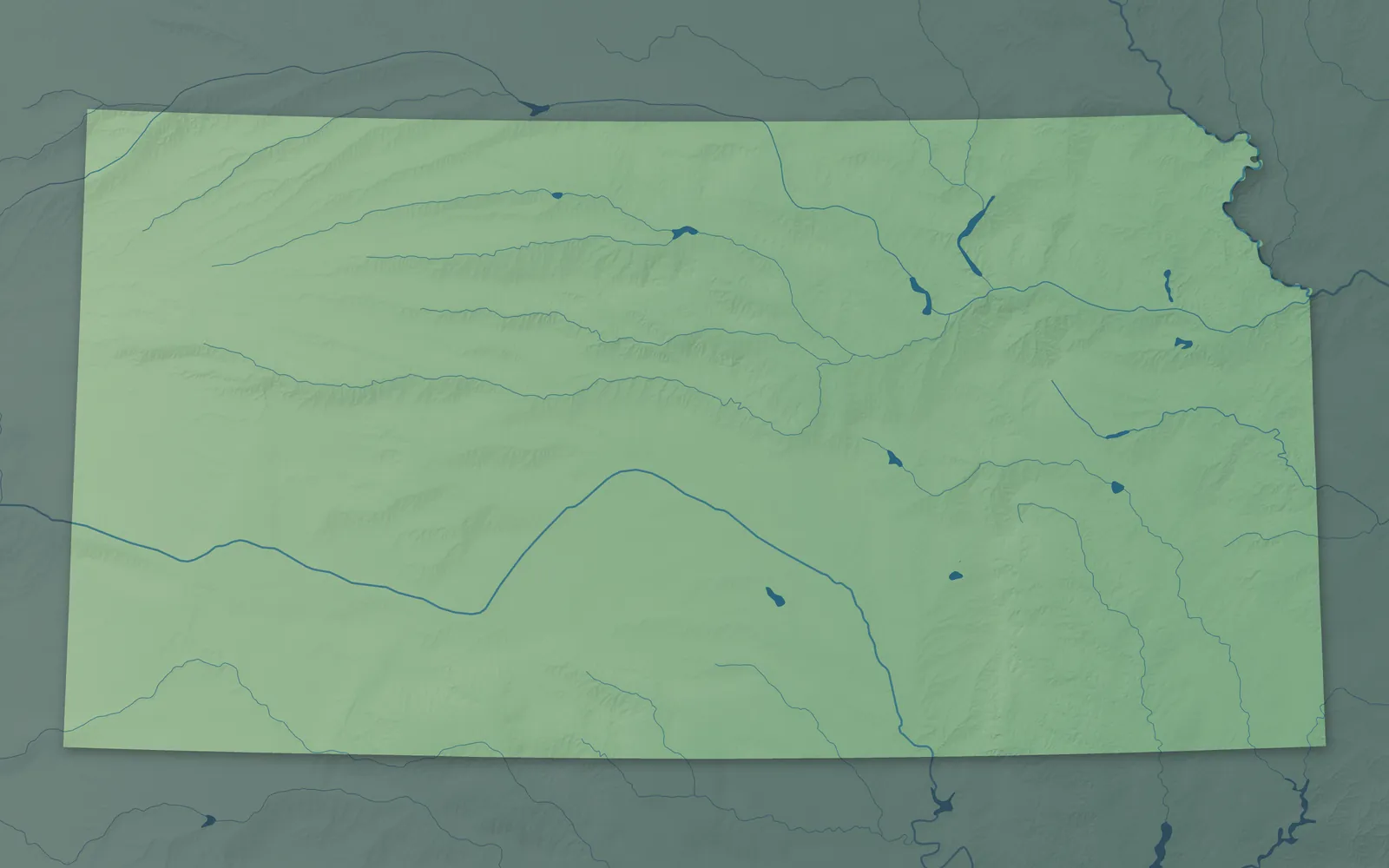
Kansas Town Maps A to Z
All 764 town maps, from Abbyville to Zurich. Each one opens its own page with the whole map.
A
B
- Baileyville
- Bala
- Baldwin City
- Barnard
- Barnes
- Bartlett
- Basehor
- Bassett
- Bavaria
- Baxter Springs
- Bazine
- Beattie
- Beaumont
- Beaver
- Bel Aire
- Belle Plaine
- Belleville
- Beloit
- Belpre
- Belvue
- Bendena
- Benedict
- Bennington
- Bentley
- Benton
- Bern
- Berryton
- Beverly
- Big Bow
- Bird City
- Bison
- Blue Mound
- Blue Rapids
- Bluff City
- Bogue
- Bonner Springs
- Bremen
- Brewster
- Bridgeport
- Bronson
- Brookville
- Brownell
- Bucklin
- Bucyrus
- Buffalo
- Buhler
- Bunker Hill
- Burden
- Burdett
- Burdick
- Burlingame
- Burlington
- Burns
- Burr Oak
- Burrton
- Bushong
- Bushton
- Byers
C
- Caldwell
- Cambridge
- Caney
- Canton
- Carbondale
- Carlton
- Cassoday
- Catharine
- Cawker City
- Cedar
- Cedar Bluff Reservoir
- Cedar Point
- Cedar Vale
- Centerville
- Centralia
- Centropolis
- Cessna
- Chanute
- Chapman
- Chase
- Chautauqua
- Cheney
- Cheney Reservoir
- Cherokee
- Cherryvale
- Chetopa
- Chicopee
- Cimarron
- Circleville
- Claflin
- Clay Center
- Clayton
- Clearwater
- Clifton
- Climax
- Clinton Lake
- Clyde
- Coats
- Codell
- Coffeyville
- Colby
- Coldwater
- Collyer
- Colony
- Columbus
- Colwich
- Concordia
- Conway Springs
- Coolidge
- Copeland
- Corning
- Cottonwood Falls
- Council Grove
- Courtland
- Coyville
- Crestline
- Croweburg
- Cuba
- Cullison
- Culver
- Cunningham
D
E
F
G
- Galatia
- Galena
- Galesburg
- Galva
- Garden City
- Garden Plain
- Gardner
- Garfield
- Garland
- Garnett
- Gas
- Gaylord
- Gem
- Geneseo
- Geuda Springs
- Girard
- Glade
- Glasco
- Glen Elder
- Goddard
- Goessel
- Goff
- Goodland
- Gorham
- Gove City
- Grainfield
- Grandview Plaza
- Grantville
- Great Bend
- Greeley
- Greeley County
- Green
- Greenleaf
- Greensburg
- Greenwich
- Grenola
- Gridley
- Grinnell
- Gypsum
H
- Haddam
- Hallowell
- Halstead
- Hamilton
- Hamlin
- Hanover
- Hanston
- Hardtner
- Harper
- Harris
- Hartford
- Harveyville
- Havana
- Haven
- Havensville
- Haviland
- Hays
- Haysville
- Hazelton
- Healy
- Hepler
- Herington
- Herkimer
- Herndon
- Hesston
- Hiawatha
- Highland
- Hill City
- Hillsboro
- Hillsdale
- Hillsdale Lake
- Hoisington
- Holcomb
- Hollenberg
- Holton
- Holyrood
- Home
- Hope
- Horace
- Horton
- Howard
- Hoxie
- Hoyt
- Hudson
- Hugoton
- Humboldt
- Hunnewell
- Hunter
- Huron
- Hutchinson
I
J
K
L
- La Crosse
- La Cygne
- La Harpe
- Labette
- Lafontaine
- Lake City
- Lake Quivira
- Lakin
- Lancaster
- Lane
- Langdon
- Lansing
- Larned
- Latham
- Latimer
- Lawrence
- Leavenworth
- Leawood
- Lebanon
- Lebo
- Lecompton
- Lehigh
- Lenexa
- Lenora
- Leon
- Leona
- Leonardville
- Leoti
- LeRoy
- Levant
- Lewis
- Liberal
- Liberty
- Liebenthal
- Lincoln Center
- Lincolnville
- Lindsborg
- Linn
- Linn Valley
- Linwood
- Little River
- Logan
- Lone Elm
- Long Island
- Longford
- Longton
- Lorraine
- Lost Springs
- Louisburg
- Louisville
- Lowell
- Lucas
- Ludell
- Luray
- Lyndon
- Lyons
M
- Macksville
- Madison
- Mahaska
- Maize
- Manchester
- Manhattan
- Mankato
- Manter
- Maple Hill
- Mapleton
- Marienthal
- Marion
- Marquette
- Marysville
- Matfield Green
- Mayetta
- Mayfield
- McConnell AFB
- McCracken
- McCune
- McDonald
- McFarland
- McLouth
- McPherson
- Meade
- Medicine Lodge
- Melvern
- Menlo
- Mentor
- Meriden
- Merriam
- Milan
- Mildred
- Milford
- Milford Lake
- Milton
- Miltonvale
- Minneapolis
- Minneola
- Mission
- Mission Hills
- Mission Woods
- Moline
- Mont Ida
- Montezuma
- Monument
- Moran
- Morganville
- Morland
- Morrill
- Morrowville
- Moscow
- Mound City
- Mound Valley
- Moundridge
- Mount Hope
- Mulberry
- Mullinville
- Mulvane
- Munden
- Munjor
- Murdock
- Muscotah
N
O
P
- Palco
- Palmer
- Paola
- Paradise
- Park
- Park City
- Parker
- Parkerfield
- Parkerville
- Parsons
- Partridge
- Pauline
- Pawnee Rock
- Paxico
- Peabody
- Peck
- Penalosa
- Perry
- Perry Lake
- Peru
- Phillipsburg
- Piedmont
- Pierceville
- Pilsen
- Piqua
- Pittsburg
- Plains
- Plainville
- Pleasanton
- Plevna
- Plymell
- Pomona
- Portis
- Potwin
- Powhattan
- Prairie View
- Prairie Village
- Pratt
- Prescott
- Preston
- Pretty Prairie
- Princeton
- Protection
Q
R
S
- Sabetha
- Salina
- Satanta
- Savonburg
- Sawyer
- Scammon
- Scandia
- Schoenchen
- Scott City
- Scottsville
- Scranton
- Sedan
- Sedgwick
- Selden
- Seneca
- Severance
- Severy
- Seward
- Shallow Water
- Sharon
- Sharon Springs
- Shawnee
- Silver Lake
- Silverdale
- Simpson
- Smith Center
- Smolan
- Soldier
- Solomon
- Somerset
- South Haven
- South Hutchinson
- South Mound
- Spearville
- Speed
- Spivey
- Spring Hill
- St. Benedict
- St. Francis
- St. George
- St. John
- St. Marks
- St. Marys
- St. Paul
- Stafford
- Stark
- Sterling
- Stilwell
- Stockton
- Strawberry Hill
- Strong City
- Stuttgart
- Sublette
- Summerfield
- Sun City
- Susank
- Sycamore
- Sylvan Grove
- Sylvia
- Syracuse
T
U
V
W
- Wabaunsee
- Waconda Lake
- Wakarusa
- WaKeeney
- Wakefield
- Waldo
- Waldron
- Wallace
- Walnut
- Walton
- Wamego
- Washington
- Waterville
- Wathena
- Waverly
- Wayside
- Webber
- Weir
- Welda
- Wellington
- Wells
- Wellsville
- Weskan
- West Mineral
- Westmoreland
- Westphalia
- Westwood
- Westwood Hills
- Wetmore
- Wheaton
- White City
- White Cloud
- Whitewater
- Whiting
- Wichita
- Willard
- Williamsburg
- Williamstown
- Willis
- Willowbrook
- Wilmore
- Wilroads Gardens
- Wilsey
- Wilson
- Wilson Lake
- Winchester
- Windom
- Winfield
- Winona
- Woodbine
- Woodruff
- Woodston
- Wright
Y
Z
Don’t see your town? Ask us to draw it.
About Kansas
Kansas holds the geographic center of the lower 48 states, near Lebanon. The land rises more than 3,000 feet from the wooded east, across the tallgrass Flint Hills and the limestone and chalk Smoky Hills, to the High Plains. Kansas became the 34th state on January 29, 1861, joining as a free state less than three months before the Civil War began. Schoolchildren have celebrated the date as Kansas Day since 1877.
Most Kansans live in the eastern half of the state, around Wichita, Kansas City, Topeka and Lawrence. Towns began as Missouri River landings, Army posts, Santa Fe Trail stops, cattle towns, coal camps and railroad stops. To sell the land along their tracks, the railroads recruited farm families from Europe, among them German-speaking Mennonites and Catholics from Russia.
- Statehood
- January 29, 1861
- Capital
- Topeka
- Population
- 2,977,2202025 Census estimate
- Highest point
- Mount Sunflower, 4,041 feet
- Lowest point
- Verdigris River at the Oklahoma border, 679 feet
- Size
- 82,278 square miles, the 15th largest state
Kansas City and Johnson County
Kansas City, Overland Park, Olathe and Shawnee fill the Kansas side of the metro, with Leavenworth up the Missouri River and Paola to the south. Fort Leavenworth was founded in 1827 on the bluffs above the Missouri, and the Army is still there. Kansas City, Kansas, grew from Wyandotte, founded in 1857 by the Wyandot people and Methodist missionaries. In Olathe, the Mahaffie farm was a Santa Fe Trail stagecoach stop in the 1860s, and its 1865 stone house is now a museum.


Topeka, Lawrence and Northeast Kansas
Topeka, the capital, and Lawrence, home of the University of Kansas, began as free-state towns on the Kansas River in 1854. Topeka's Cyrus K. Holliday wrote the 1859 charter for the railroad that became the Santa Fe. Amelia Earhart was born in 1897 in her grandfather's house on the Missouri River bluffs at Atchison. Four tribal nations, the Prairie Band Potawatomi, Kickapoo, Iowa, and Sac and Fox, have reservations in this rolling corner of the state.


Manhattan, Emporia and the Flint Hills
Manhattan, Junction City, Council Grove and Emporia sit in and around the Flint Hills, where ground too rocky to plow saved most of North America's last tallgrass prairie. Manhattan, home of K-State, got its name in 1855 from Ohio settlers whose steamboat ran aground nearby. In Council Grove, Osage leaders met U.S. commissioners under an oak and agreed to let Santa Fe Trail wagons cross their land. Emporia's Alvin King urged Congressman Ed Rees to rename Armistice Day, and in 1954 it became Veterans Day.


Pittsburg and Southeast Kansas
The rolling country around Pittsburg, Coffeyville, Independence, Parsons, Chanute, Fort Scott and Iola gets more rain than any other part of Kansas. The Army built Fort Scott on the frontier in 1842, and its restored buildings are now a national historic site. Pittsburg began in 1876 as a coal camp named for Pittsburgh, Pennsylvania. Route 66 runs for only about 13 miles in Kansas, through Galena, Riverton and Baxter Springs, at the edge of the Ozarks.


Wichita and South Central Kansas
Wichita, Hutchinson, McPherson, Newton, Great Bend and Winfield are the main towns of this wheat country along the Arkansas River. Wichita started out as a Chisholm Trail trading post, and its airplane makers, Cessna, Beech and Stearman, earned it the name Air Capital of the World. Hutchinson sits above a huge bed of rock salt and has hosted the Kansas State Fair since 1913. Swedish settlers founded Lindsborg in 1869, and it's still known as Little Sweden.


Salina and North Central Kansas
Much of North Central Kansas is the Smoky Hills, where trees were so scarce that settlers cut fence posts from limestone. Salina, Abilene, Concordia, Marysville, Beloit and Russell are the main towns. From 1867 to 1871, cattle drives on the Chisholm Trail ended at the railroad in Abilene, where Dwight Eisenhower later grew up. Near Athol, Dr. Brewster Higley wrote the words of "Home on the Range" in his homestead cabin in the early 1870s, and it's now the state song.


Hays and Northwest Kansas
Hays, Colby, Goodland, Norton and Oakley are the main towns of Northwest Kansas, where the Smoky Hills give way to the High Plains. In Victoria, Volga German families hauled limestone by the wagonload to build St. Fidelis, the Cathedral of the Plains, finished in 1911. In 1877, Black families from Kentucky, many of them formerly enslaved, settled Nicodemus, now a national historic site. South of Oakley, the chalk buttes of Monument Rocks were once the floor of an ancient inland sea.


Dodge City and Southwest Kansas
Southwest Kansas is farm and ranch country, with Dodge City and Garden City on the Arkansas River, and Liberal and Ulysses near the Cimarron. Fort Larned, founded in 1859 to protect travelers on the Santa Fe Trail, still has its sandstone buildings. Dodge City grew up near Fort Dodge when the Santa Fe railroad came in 1872, and cattle drives made it the Queen of the Cowtowns. Since 1950, Liberal has raced Olney, England, each Shrove Tuesday in the International Pancake Day race.


- 12 × 18 inPrint $39.99Framed $89.99
- 18 × 24 inPrint $49.99Framed $129.99
- 24 × 36 inPrint $89.99Framed $199.99

Sizes and Prices
Every map comes in three sizes on archival matte paper. Framed prints come in black or white wood.
How each map is made
It starts with the real place
Streets, buildings, terrain and water form the map, drawn the way Kansas looks today.
Then the details
Local research and an old atlas style give each town its character.
Then it's yours
Look around the map, then pick a print to keep or give.