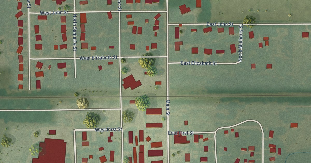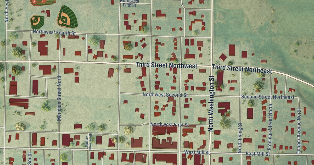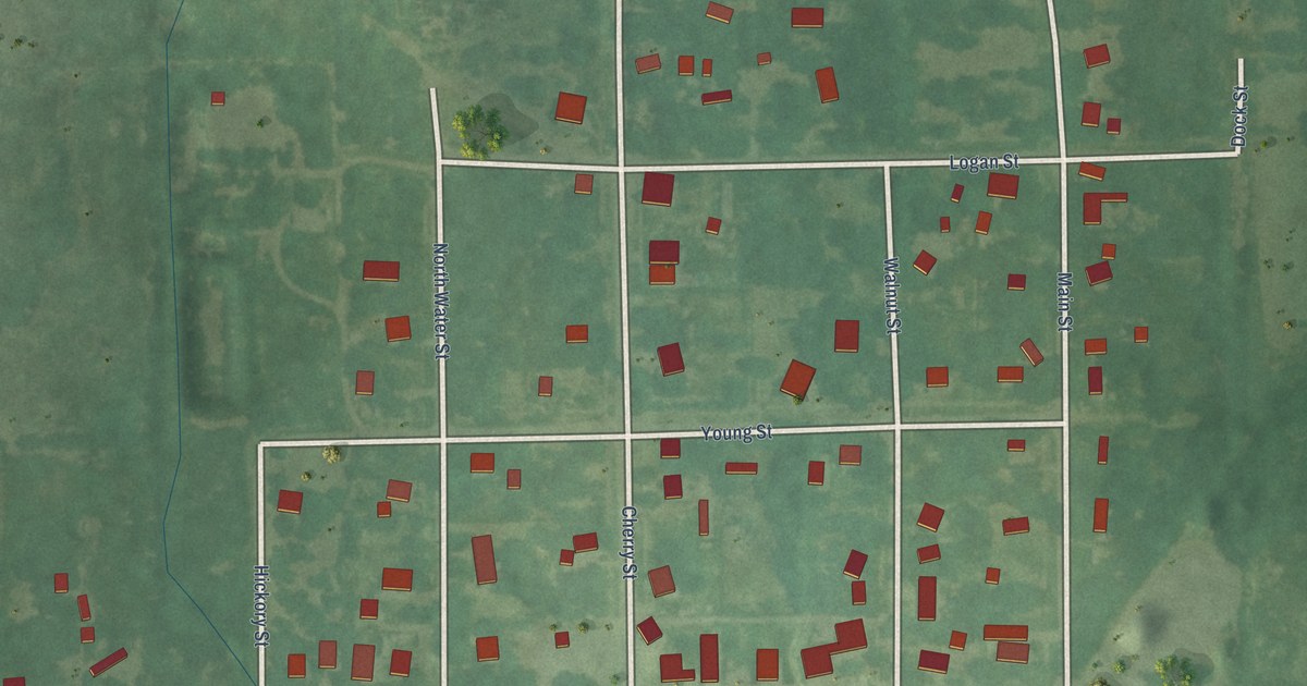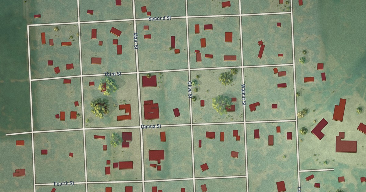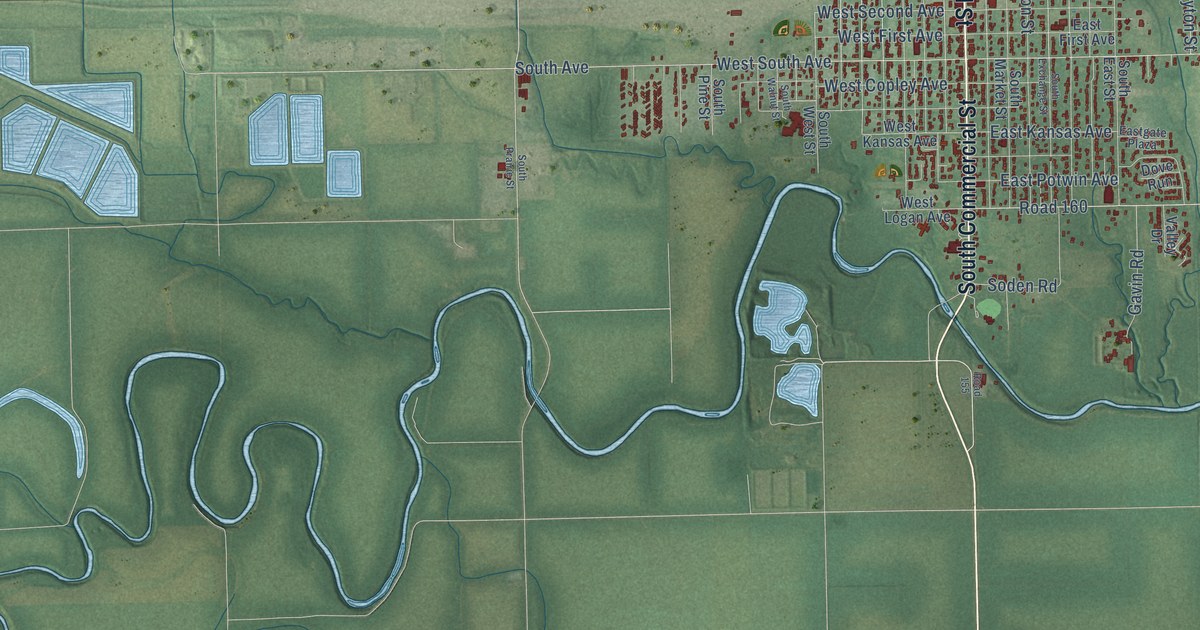
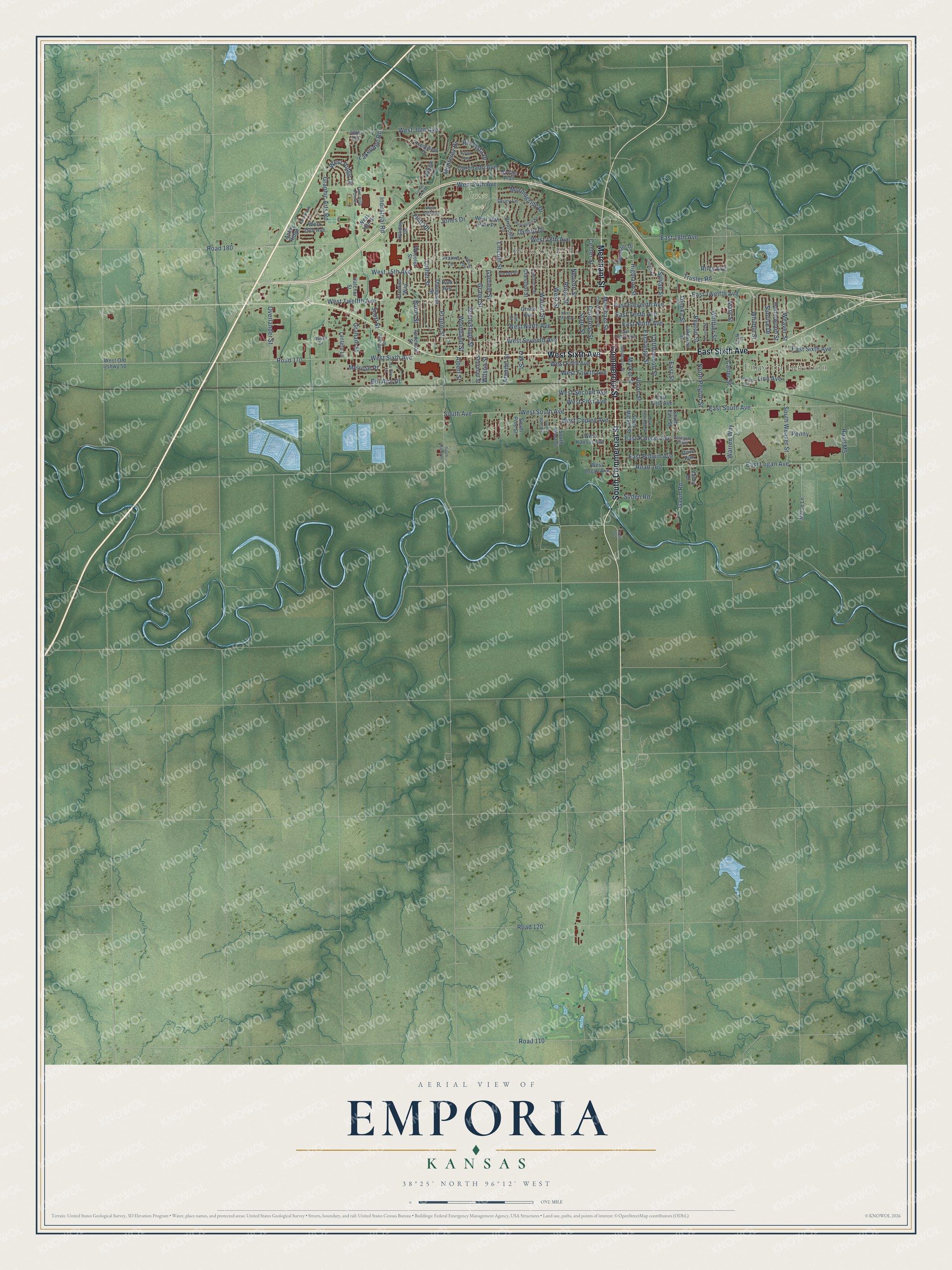
This beautifully detailed map of Emporia, Kansas was created in 2026 using aerial imagery combined with modern topographical, census, street and landmark data. It's a modern aerial view of Emporia in Lyon County, Kansas, that combines modern data with a vintage aesthetic. The roads feature printed names, and if you look closely you can find your exact house accurately shown in its correct location.
Explore an aerial view of Emporia, Kansas
On this map you'll find Emporia Junction, Berkeley Hills, Jones Park, Commercial Street, South Commercial Street, East Sixth Avenue, West Sixth Avenue, Merchant Street, East Street, East Twelfth Avenue, East South Avenue, West 18th Avenue, and more. Each red shape is a building, so zoom in on the preview and look for yours.
Every town has a first chapter, and Emporia is no exception. The record at kancoll.org puts it this way: "While the News was erecting its building, the Emporia House served as its printing office, its first number being set up in an upper chamber thereof."
Emporia is a city in Lyon County. The Census Bureau counted 24,139 people here in 2020.
Take a closer look at the Emporia map
Names on this map
These names are printed on this map.
Places: Emporia Junction, Berkeley Hills and Jones Park.
Streets and roads: Commercial Street, South Commercial Street, East Sixth Avenue, West Sixth Avenue, Merchant Street, East Street, East Twelfth Avenue, East South Avenue, West 18th Avenue, West 24th Avenue, East Ninth Avenue, Exchange Street.
More street names, A to Z
29th Terrace, Albert Street, Anderson Street, Antler Ridge, Arundel Street, Bel Aire Drive, Briarcliff Lane, Burns Street, Carter Street, Center Street, Chestnut Street, Clark Street, Cll de Loma, College Drive, Congress Street, Constitution Street, Coronado Avenue, Cottonwood Street, Crestview Drive, Deerbrook Lane, Dove Run, Drury Lane, East 18th Avenue, East Eighth Avenue, East Eleventh Avenue, East First Avenue, Eastgate Plaza, East Kansas Avenue, East Logan Avenue, East Potwin Avenue, East Tenth Avenue, Elm Street, Flint Hills Pointe, Flint Road, Frontier Way, Garfield Street, Gavin Road, Graham Street, Grand Street, Graphic Arts Road, Grove Avenue, Hatcher Street, Highland Street, Holiday Drive, Homewood Street, Huntington Road, Industrial Road, Industrial Street, Jones Drive, La-Jara Lane, Lakeridge Road, Lakeview Street, Lantern Lane, Lawrence Street, Lincoln Street, Linn Avenue, Luther Street, Market Street, Mary Street, Mechanic Street, Melrose Place, Monterey Drive, Morningside Drive, Morse Lane, Navajo Trail, Neosho Street, North Peyton Street, Oakes Drive, Oak Street, Overlander Street, Oxford Drive, Park Avenue, Penny, Peyton Street, Prairie Lane, Prairie Street, Presby Drive, Riley Avenue, Rio Vista Drive, Road 110, Road 120, Road 155, Road 160, Road 170, Road 180, Road M5, Rural Street, Scott Street, Sherman Street, Soden Road, South Avenue, South East Street, South Exchange Street, South Market Street, South Pine Street, South Prairie Street, South Walnut Street, South Weaver Street, South West Street, State Street, Sunnyslope Street, Sunrise Drive, Sunset Lake Drive, Sylvan Street, Thompson Street, Topeka Street, Trusler Road, Twilight Drive, Union Street, Valley Drive, Walnut Street, Warren Way, Watson Street, Weaver Street, West 15th Avenue, West 18th Street, West 20th Avenue, West 20th Park Place, West 22nd Avenue, West 30th Avenue, West Copley Avenue, West Fifth Avenue, West First Avenue, West Fourth Avenue, West Kansas Avenue, West Logan Avenue, West Ninth Avenue, West Old Ushwy 50, West Ridge Drive, West Second Avenue, West Seventh Avenue, West South Avenue, West Street, West Tenth Avenue, West Twelfth Avenue, Wheeler Street, Whildin Street, Whittier Street, Williby Avenue, Willow Lane, Wilson Street, Woodland Street, Wooster Drive.
Created by KNOWOL in 2026. The buildings are small red shapes, the roads carry their printed names, and shaded relief shows the shape of the land. The title panel reads "AERIAL VIEW OF EMPORIA KANSAS" with 38°25' NORTH 96°12' WEST.
Hang it in the hallway, the office or the cabin, or give it to someone who left Emporia and still calls it home. Open the preview and look for a street you know. See sizes and frames for the Emporia map.