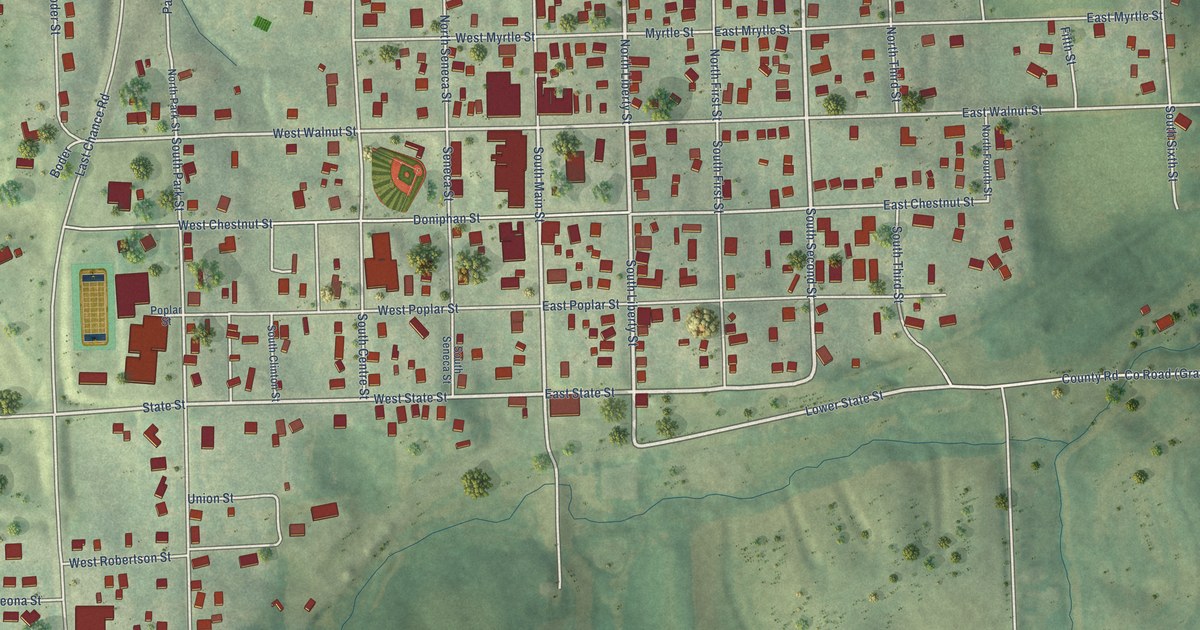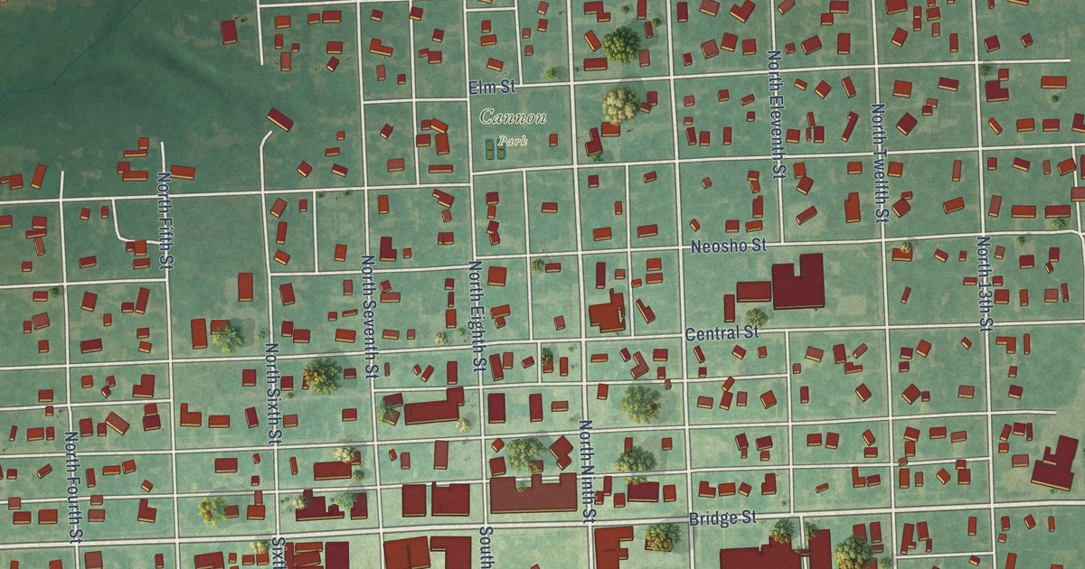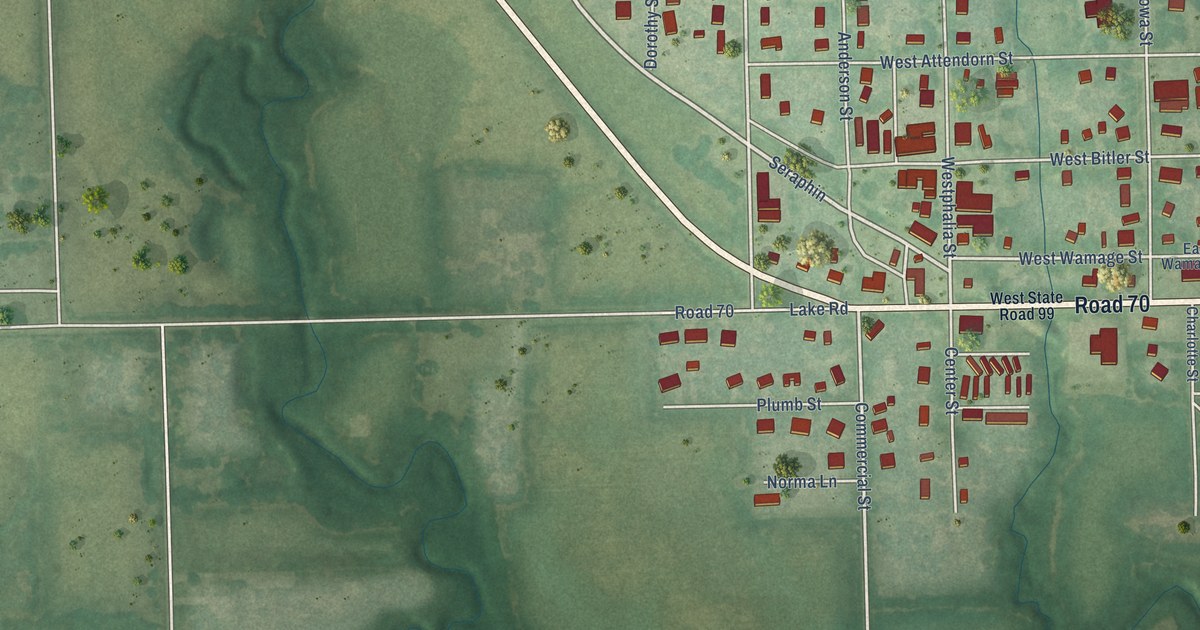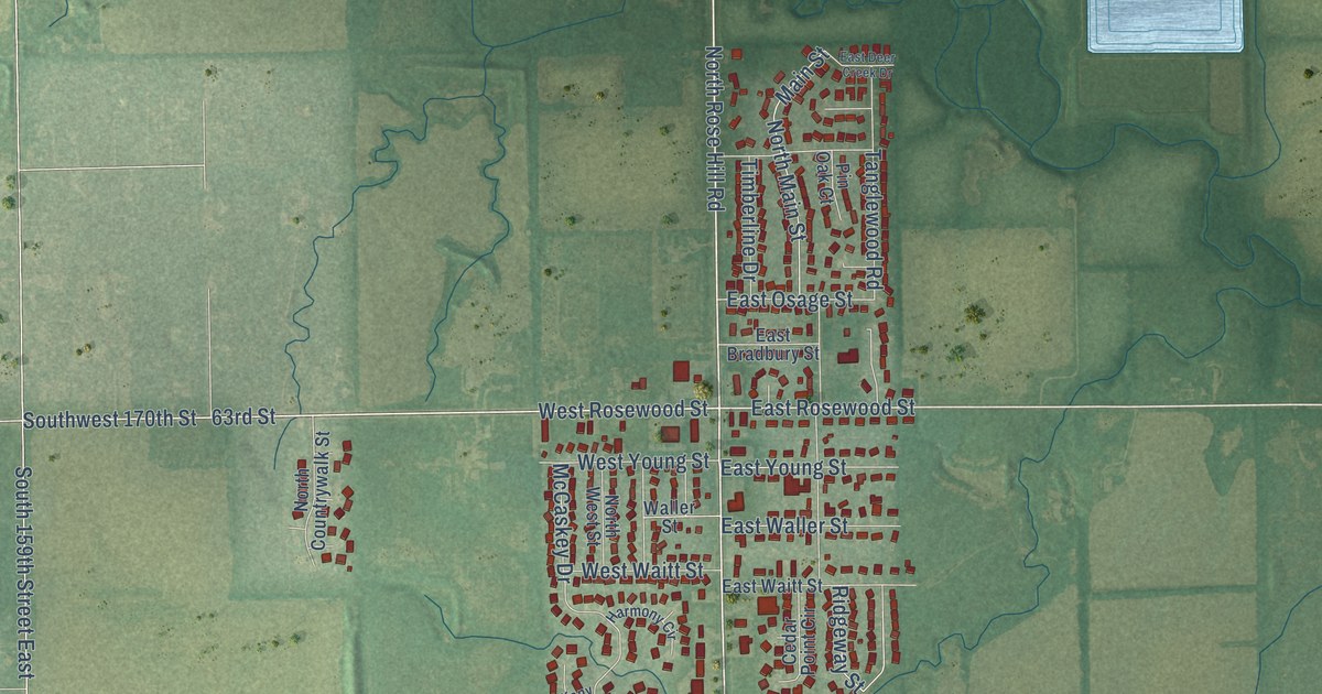
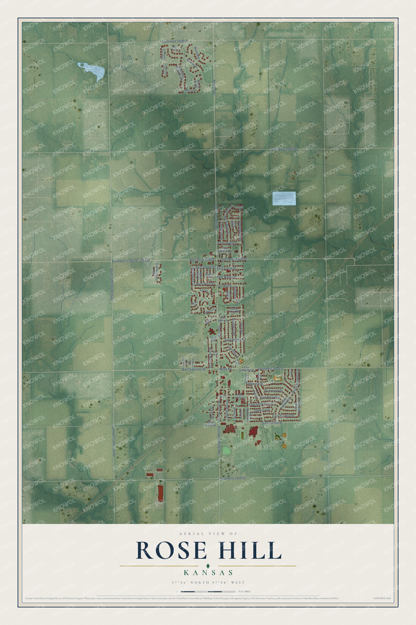
This beautifully detailed map of Rose Hill, Kansas was created in 2026 using aerial imagery combined with modern topographical, census, street and landmark data. It's a modern aerial view of Rose Hill in Butler County, Kansas, that combines modern data with a vintage aesthetic. The roads feature printed names, and if you look closely you can find your exact house accurately shown in its correct location.
Explore an aerial view of Rose Hill, Kansas
On this map you'll find Bates Park, North Rose Hill Road, East Berry Avenue, Berry, Southwest 170th Street, East Rosewood Street, Southwest 180th Street, Rosehill Road, 63rd Street, Webb Road, West Silknitter Street, East Showalter Street, and more. Each red shape is a building, so zoom in on the preview and look for yours.
Here is a piece of Rose Hill history, in the words of the record. The City of Rose Hill puts it this way: "While Mr. Lowery's business plans wilted, the City of Rose Hill began to sprout with thriving crops for farmers, a post office, a railroad, and new businesses being built in town including grocery stores, a meat market, barber shop, millinery store, drug store, and more."
Rose Hill is a city in Butler County. The Census Bureau counted 4,185 people here in 2020.
Take a closer look at the Rose Hill map
Names on this map
These names are printed on this map.
Places: Bates Park.
Streets and roads: North Rose Hill Road, East Berry Avenue, Berry, Southwest 170th Street, East Rosewood Street, Southwest 180th Street, Rosehill Road, 63rd Street, Webb Road, West Silknitter Street, East Showalter Street, Reyer Street.
More street names, A to Z
Berlin, Bluestem, Cedar Crest Road, Cedar Point Circle, Driftwood Court, East Berlin Drive, East Berry Street, East Bradbury Street, East Brownie Street, East Deer Creek Drive, East Osage Street, East School Street, East Silknetter Street, East Wagon Road, East Waitt Street, East Waller Street, East Young Street, Frontier Lane, Harmony Circle, Harris Drive, Main Street, McCaskey Drive, Morris Street, North Aurora Street, North Bentwood Drive, North Countrywalk Street, North Main Street, North Morris Street, North Strode Avenue, North Sunrise Drive, North West Street, Oakwood Street, Park Lane, Park Road, Parkwood Drive, Pine Creek, Pin Oak Court, Plumwood Drive, Poston Avenue, Primrose Lane, Ridgeway Road, Ridgeway Street, Sienna Drive, Smith Avenue, South 159th Street East, South Bentwood Drive, South Cedarwood Drive, South Main Street, South Rose Hill Road, South Warren Avenue, Southwest 150th Street, Southwest 160th Street, Southwest 190th Street, Southwest Butler Road, Southwest County Line Road, Southwest Deer Ridge, Southwest Deer Ridge Court, Southwest Willow Creek, Stoney Brook, Sunflower Street, Tanglewood Road, Tiffany Street, Timberline Drive, Waller Street, Warren Avenue, West Cox Street, West Rosewood Street, West School Street, West Sienna Court, West Waitt Street, West Young Street.
Created by KNOWOL in 2026. The buildings are small red shapes, the roads carry their printed names, and shaded relief shows the shape of the land. The title panel reads "AERIAL VIEW OF ROSE HILL KANSAS" with 37°34' NORTH 97°08' WEST.
It suits a den, a classroom or a front hall, and it makes a gift for anyone with Rose Hill roots. Open the preview and find the block you know. See sizes and frames for the Rose Hill map.