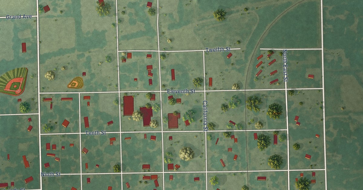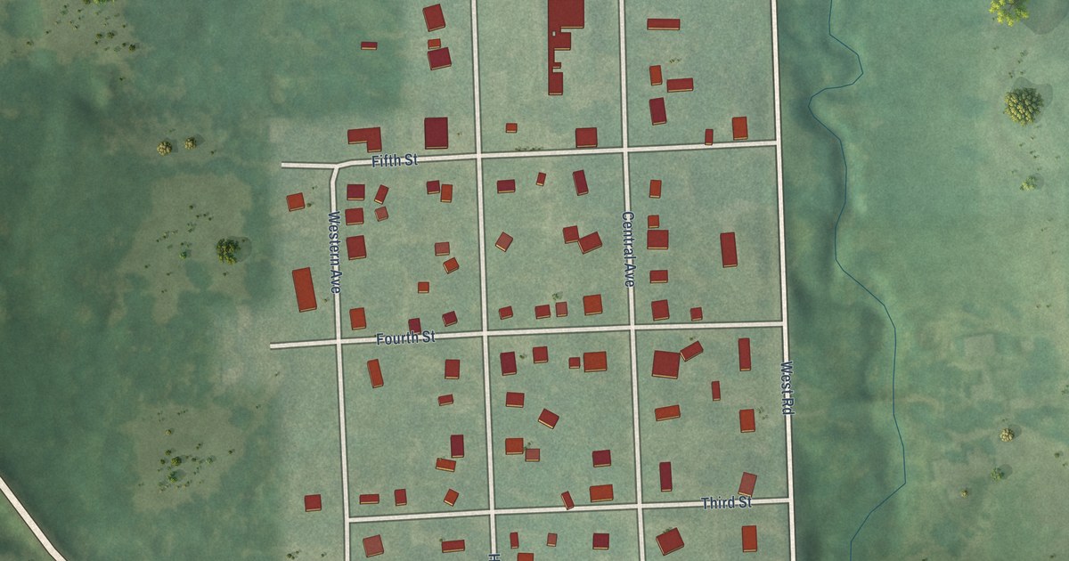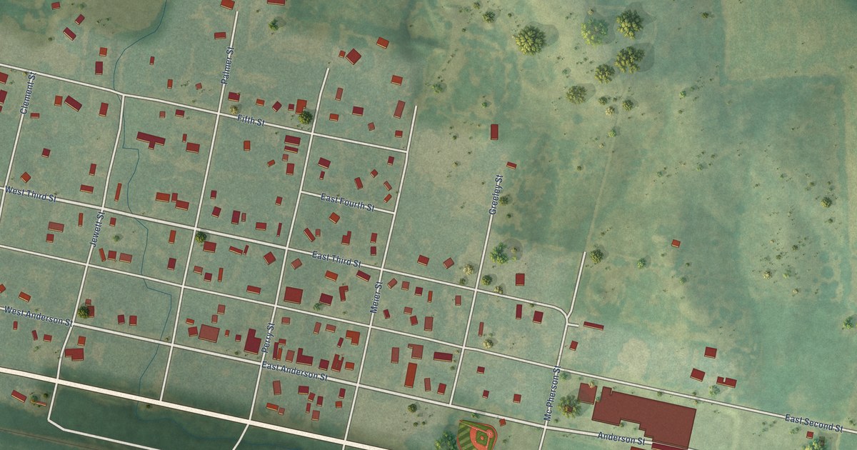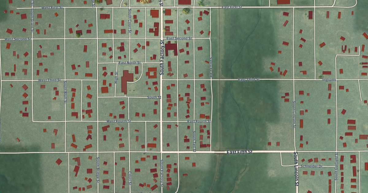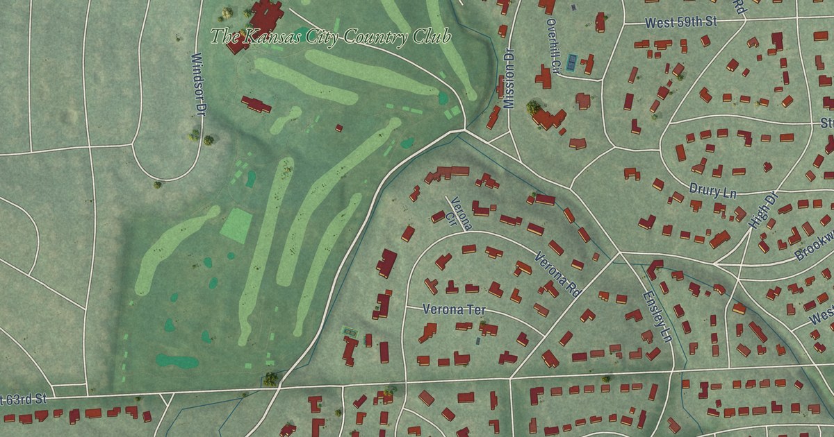
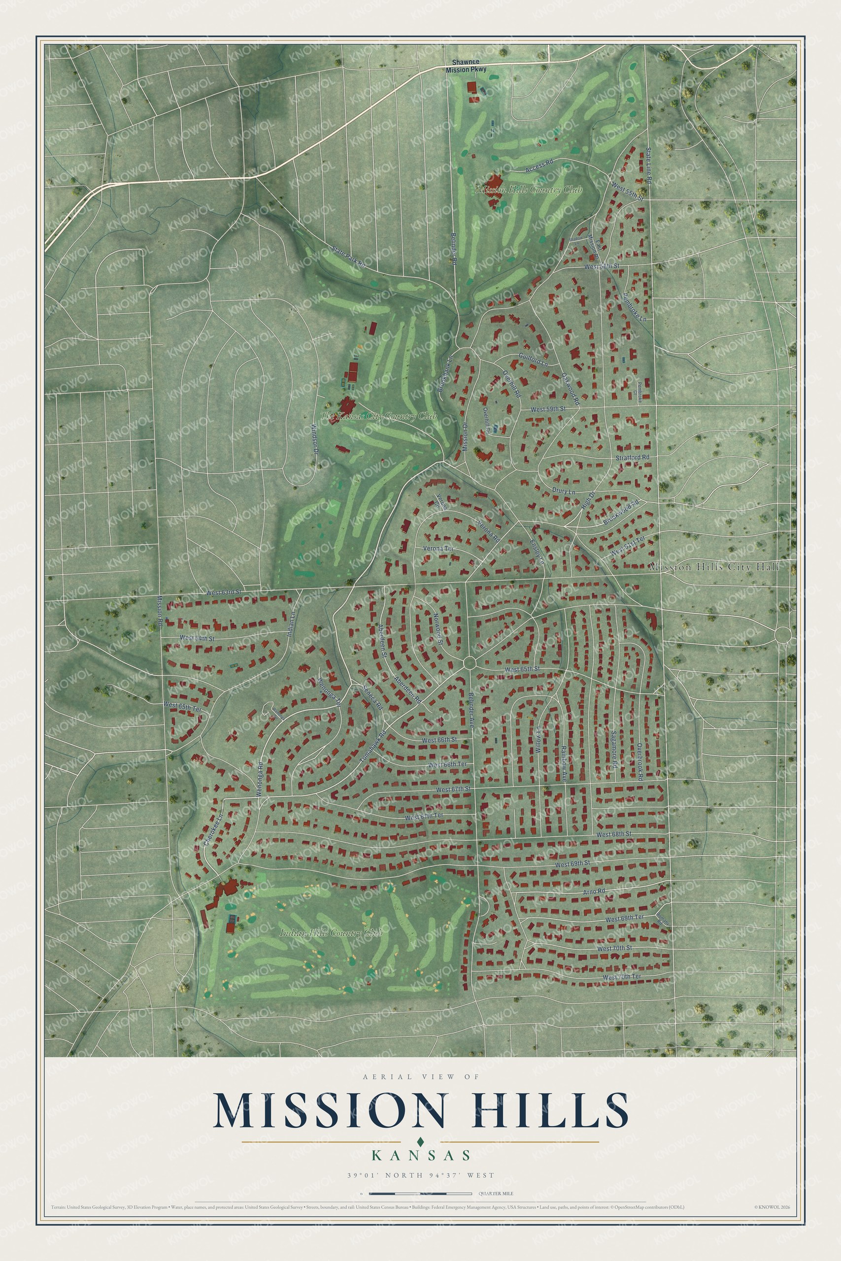
This beautifully detailed map of Mission Hills, Kansas was created in 2026 using aerial imagery combined with modern topographical, census, street and landmark data. It's a modern aerial view of Mission Hills in Johnson County, Kansas, that combines modern data with a vintage aesthetic. The roads feature printed names, and if you look closely you can find your exact house accurately shown in its correct location.
Explore an aerial view of Mission Hills, Kansas
On this map you'll find Mission Hills City Hall, Indian Hills Country Club, Mission Hills Country Club, The Kansas City Country Club, Indian Lane, West 67th Street, Wenonga Road, Cherokee Lane, Belinder Road, Tomahawk Road, High Drive, Brookwood Road, and more. Each red shape is a building, so zoom in on the preview and look for yours.
Here is a piece of Mission Hills history, in the words of the record. The City of Mission Hills puts it this way: "The City of Mission Hills is located in Northeast Johnson County, Kansas, and was envisioned in 1912 by urban planner J.C. Nichols, who developed the renowned Country Club Plaza district in Kansas City."
Mission Hills is a city in Johnson County. The Census Bureau counted 3,594 people here in 2020.
Take a closer look at the Mission Hills map
Names on this map
These names are printed on this map.
Places: Mission Hills City Hall, Indian Hills Country Club, Mission Hills Country Club and The Kansas City Country Club.
Streets and roads: Indian Lane, West 67th Street, Wenonga Road, Cherokee Lane, Belinder Road, Tomahawk Road, High Drive, Brookwood Road, Arno Road, West 66th Street, Seneca Road, Wenonga Terrace.
More street names, A to Z
Aberdeen Road, Aberdeen Street, Access Road, Belinder Avenue, Brookbank Lane, Drury Lane, East Mission Drive, Ensley Lane, Guilford Lane, Mission Drive, Mission Road, Norwood Street, Oakwood Road, Overbrook Road, Overhill Circle, Overhill Road, Pembroke Court, Pembroke Lane, Rainbow Avenue, Romany Road, Sagamore Road, Shadow Lane, Shawnee Mission Parkway, State Line Road, State Park Road, Stratford Road, Verona Circle, Verona Road, Verona Terrace, Wenonga Circle, West 55th Street, West 56th Street, West 59th Street, West 61st Terrace, West 63rd Street, West 64th Street, West 65th Street, West 65th Terrace, West 66th Terrace, West 67th Terrace, West 68th Street, West 69th Street, West 69th Terrace, West 70th Street, West 70th Terrace, Willow Lane, Windsor Drive.
Created by KNOWOL in 2026. The buildings are small red shapes, the roads carry their printed names, and shaded relief shows the shape of the land. The title panel reads "AERIAL VIEW OF MISSION HILLS KANSAS" with 39°01' NORTH 94°37' WEST.
It suits a den, a classroom or a front hall, and it makes a gift for anyone with Mission Hills roots. Open the preview and find the block you know. See sizes and frames for the Mission Hills map.