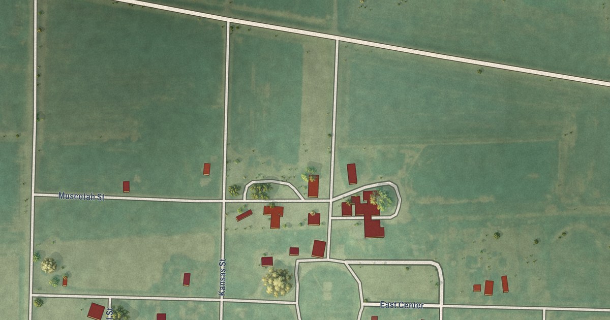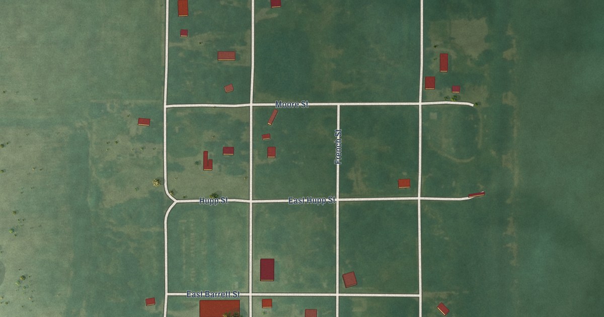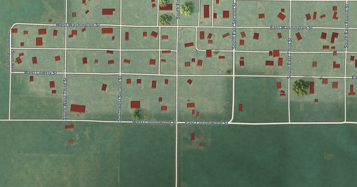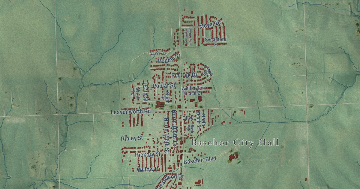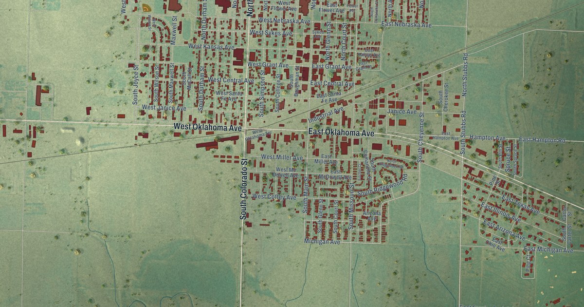
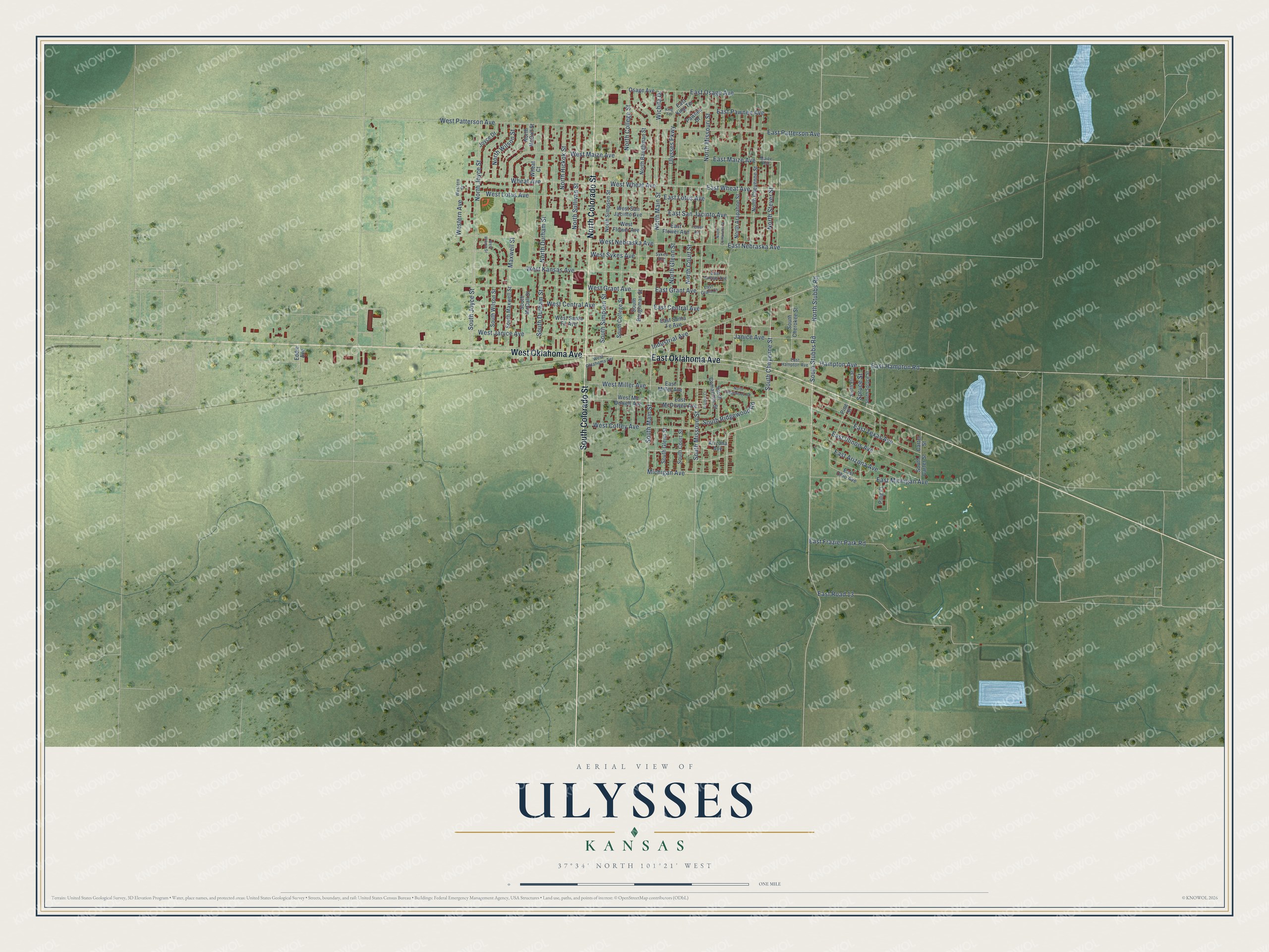
This beautifully detailed map of Ulysses, Kansas was created in 2026 using aerial imagery combined with modern topographical, census, street and landmark data. It's a modern aerial view of Ulysses in Grant County, Kansas, that combines modern data with a vintage aesthetic. The roads feature printed names, and if you look closely you can find your exact house accurately shown in its correct location.
Explore an aerial view of Ulysses, Kansas
On this map you'll find South Colorado Street, West Oklahoma Avenue, East Oklahoma Avenue, North Colorado Street, South Cheyenne Street, Wheat Avenue, East Wheat Avenue, Wichita Drive, South Main Street, Michigan Avenue, South Stubbs Road, East Grant Avenue, and more. Each red shape is a building, so zoom in on the preview and look for yours.
Every town has a first chapter, and Ulysses is no exception. The Kansas State Teachers College puts it this way: "Ulysses was named for General Ulysses S. Grant of the United States Army and was organized in 1885. Ulysses was known as the city that moved because of a mortgage."
Ulysses is a city in Grant County. The Census Bureau counted 5,788 people here in 2020.
Take a closer look at the Ulysses map
Names on this map
These names are printed on this map.
Streets and roads: South Colorado Street, West Oklahoma Avenue, East Oklahoma Avenue, North Colorado Street, South Cheyenne Street, Wheat Avenue, East Wheat Avenue, Wichita Drive, South Main Street, Michigan Avenue, South Stubbs Road, East Grant Avenue.
More street names, A to Z
Arizona Avenue, Carter Street, East Arizona Avenue, East Central Avenue, East Flower Avenue, East Frazier Park Road, East Grant Court, East Hampton Avenue, East Hampton Road, East Illinois Avenue, East Kansas Avenue, East King Terrace, East Lotus Avenue, East Maize Avenue, East McDowell Avenue, East Michigan Avenue, East Miller Avenue, East Nebraska Avenue, East Ohio Avenue, East Osage Avenue, East Patterson Avenue, East Pawnee Avenue, East Road 13, East San Jacinto Avenue, East Santa Fe Avenue, East Texas Avenue, Eddie Avenue, Fischer Court, Flower Avenue, Hampton Avenue, Industrial Avenue, Janice Avenue, Joyce Drive, King Terrace, Maize Avenue, Maxwell Street, North Arapahoe Street, North Baughman Street, North Cheyenne Street, North College Street, North Comanche Street, North Court Street, North Durham Street, North Glenn Street, North Hickok Street, North Joyce Street, North Main Street, North McCall Street, North Missouri Street, North Ridgewood Road, North Simpson Street, North Stever Street, North Stubbs Road, North Sullivan Street, North Wilson Street, Osage Avenue, Pawnee Drive, Pine Street, Ping Court, South Baughman Street, South Carter Street, South Cherokee Street, South College Street, South Comanche Street, South Court Street, South Durham Street, South Elm Street, South Glenn Street, South Joyce Street, South Maxwell Street, South McCall Street, South Missouri Street, South Ridgewood Road, South Simpson Street, South Spruce Street, South Wilson Street, Spruce Street, Sykes Avenue, Ulysses Parkway, West Central Avenue, West Coffey Avenue, Western Avenue, Western Street, West Flower Avenue, West Grant Avenue, West Janice Avenue, West Kansas Avenue, West Lotus Avenue, West Maize Avenue, West Mc Dowell Avenue, West Miller Avenue, West Nebraska Avenue, West Oklahoma Terrace, West Patterson Avenue, West San Jacinto Avenue, West Santa Fe Avenue, West Sykes Avenue, West Wheat Avenue, West Wilson Street, Wheat Court.
Created by KNOWOL in 2026. The buildings are small red shapes, the roads carry their printed names, and shaded relief shows the shape of the land. The title panel reads "AERIAL VIEW OF ULYSSES KANSAS" with 37°34' NORTH 101°21' WEST.
Hang it in the hallway, the office or the cabin, or give it to someone who left Ulysses and still calls it home. Open the preview and look for a street you know. See sizes and frames for the Ulysses map.