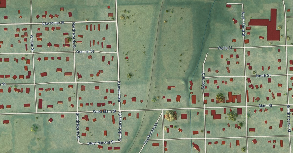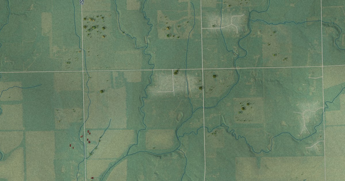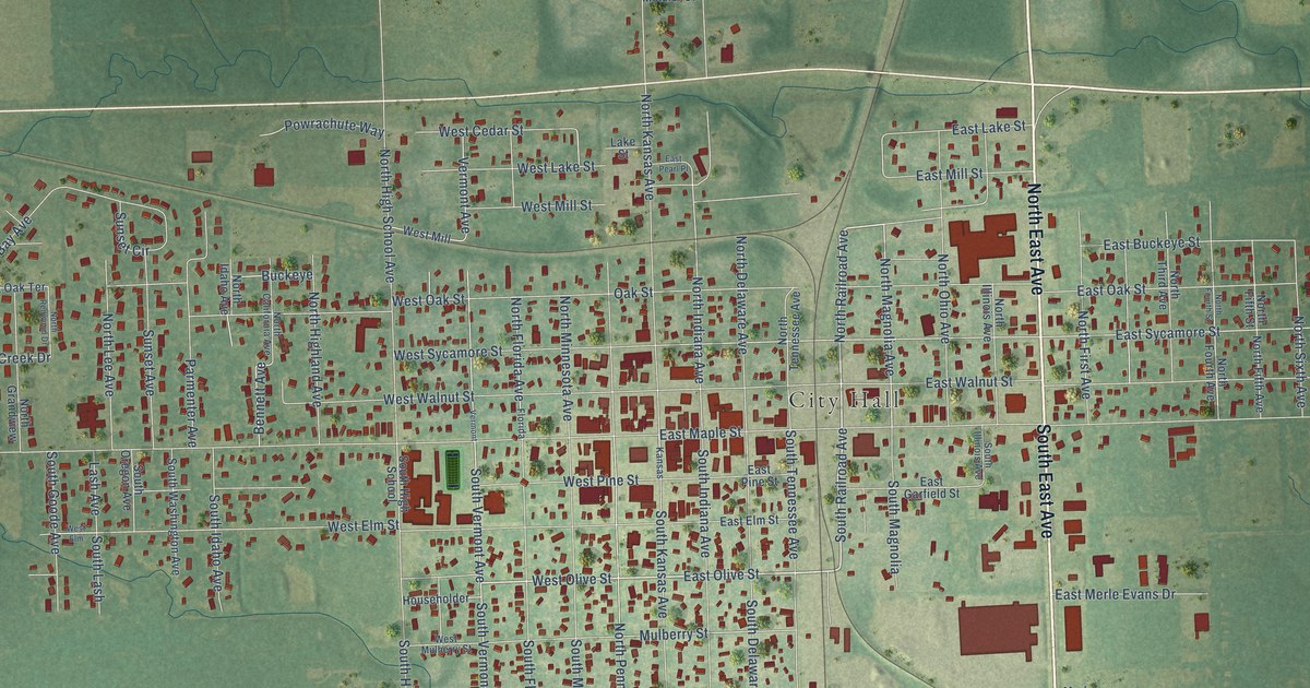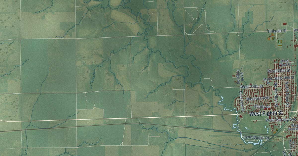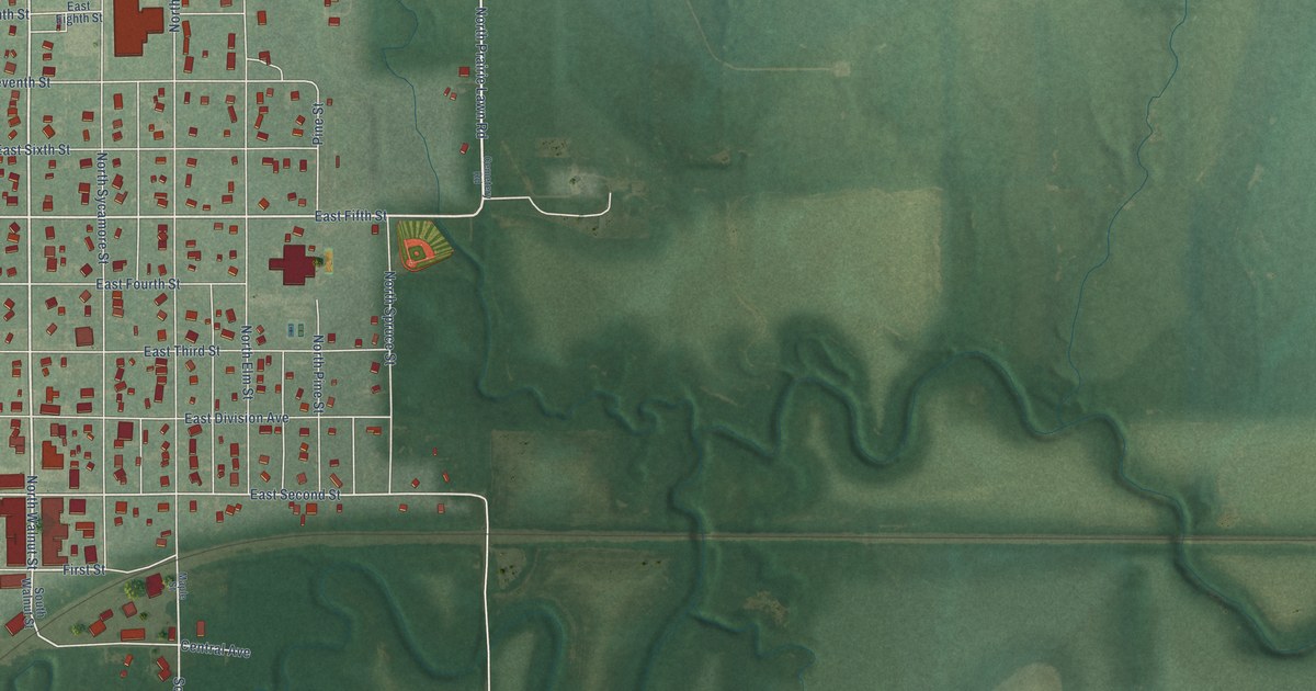
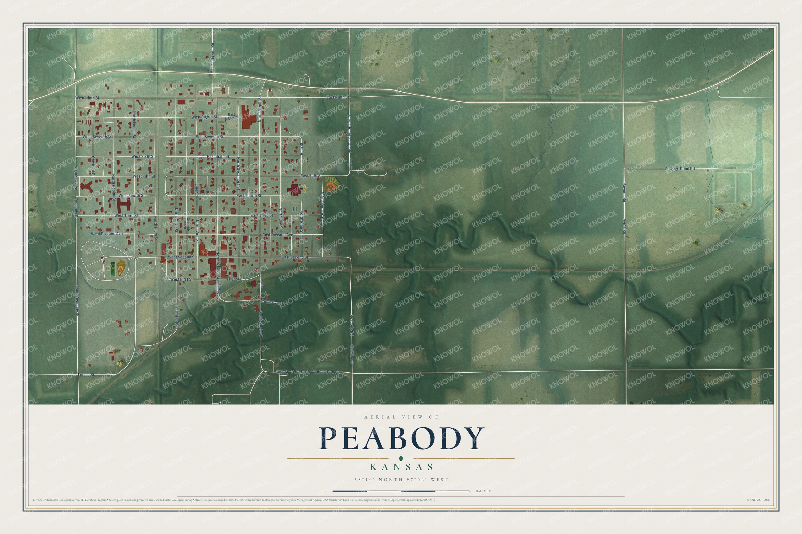
This beautifully detailed map of Peabody, Kansas was created in 2026 using aerial imagery combined with modern topographical, census, street and landmark data. It's a modern aerial view of Peabody in Marion County, Kansas, that combines modern data with a vintage aesthetic. The roads feature printed names, and if you look closely you can find your exact house accurately shown in its correct location.
Explore an aerial view of Peabody, Kansas
On this map you'll find North Walnut Street, East Ninth Street, North Prairie Lawn Road, Locust Street, East Fifth Street, West Fifth Street, Nighthawk Road, First Street, West Second Street, West Fourth Street, Peabody Street, East Second Street, and more. Each red shape is a building, so zoom in on the preview and look for yours.
Here is a piece of Peabody history, in the words of the record. The record at kancoll.org puts it this way: "Peabody has a Quartette Band, a Cornet Band, a Lotus Club, a Post of the Grand Army of the Republic, organized July 10, 1882, Knights of Honor, Odd fellows and Masonic organizations."
Peabody is a city in Marion County. The Census Bureau counted 937 people here in 2020.
Take a closer look at the Peabody map
Names on this map
These names are printed on this map.
Streets and roads: North Walnut Street, East Ninth Street, North Prairie Lawn Road, Locust Street, East Fifth Street, West Fifth Street, Nighthawk Road, First Street, West Second Street, West Fourth Street, Peabody Street, East Second Street.
More street names, A to Z
60th Street, Avine Road, Cemetery Road, Central Avenue, Chestnut Street, Drainage Ditch, East Division Avenue, East Eighth Street, East Fourth Street, East Seventh Street, East Sixth Street, East Third Street, Maple Street, Newell Road, North Elm Street, North Locust Street, North Maple Street, North Olive Street, North Pine Street, North Plum Street, North Poplar Street, North Spruce Street, North Sycamore Street, North Vine Street, Old Mill Road, Pawnee Road, Peabody Road, Pine Street, Potters Road, Sewage Pond Road, South Maple Street, South Olive Street, South Peabody Street, South Walnut Street, Vine Street, Walnut Street, Watch Horn Road, West Division Avenue, West Eighth Street, West First Street, West Ninth Street, West Seventh Street, West Sixth Street, West Third Street.
Created by KNOWOL in 2026. The buildings are small red shapes, the roads carry their printed names, and shaded relief shows the shape of the land. The title panel reads "AERIAL VIEW OF PEABODY KANSAS" with 38°10' NORTH 97°06' WEST.
It suits a den, a classroom or a front hall, and it makes a gift for anyone with Peabody roots. Open the preview and find the block you know. See sizes and frames for the Peabody map.