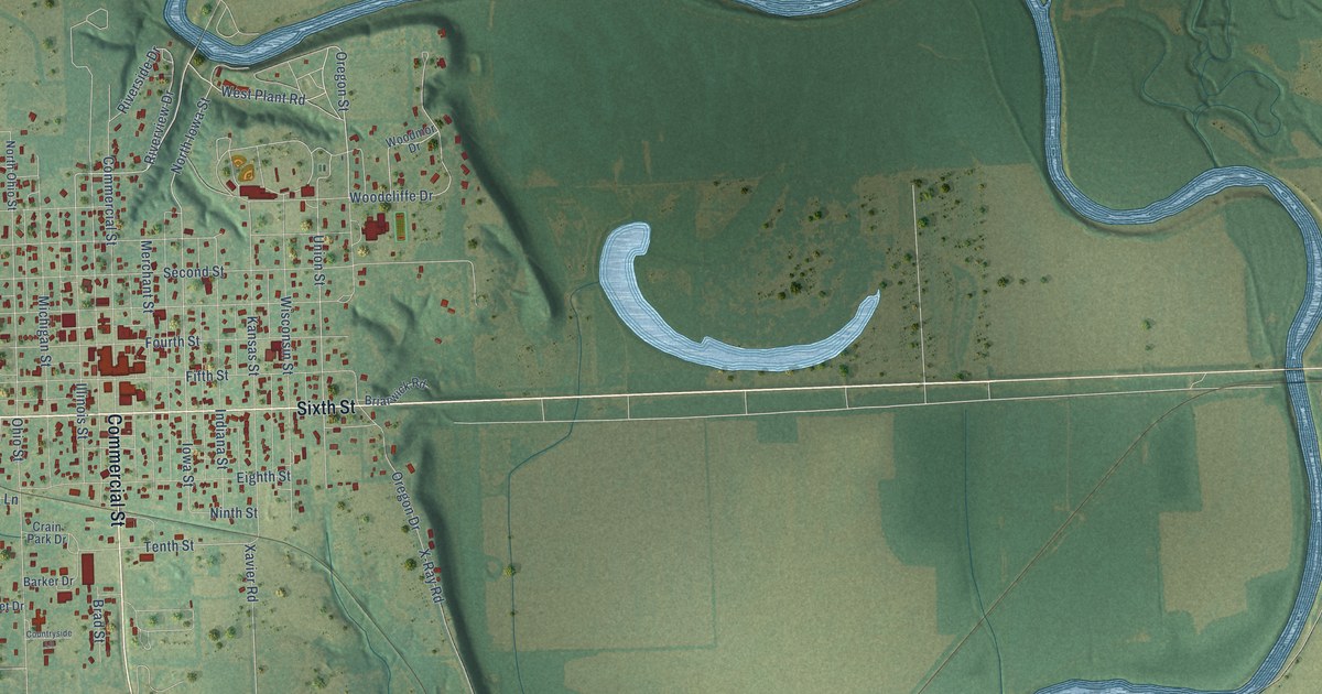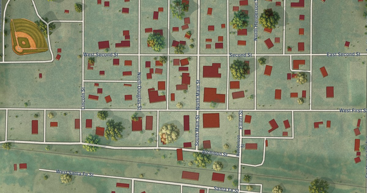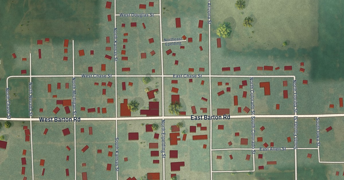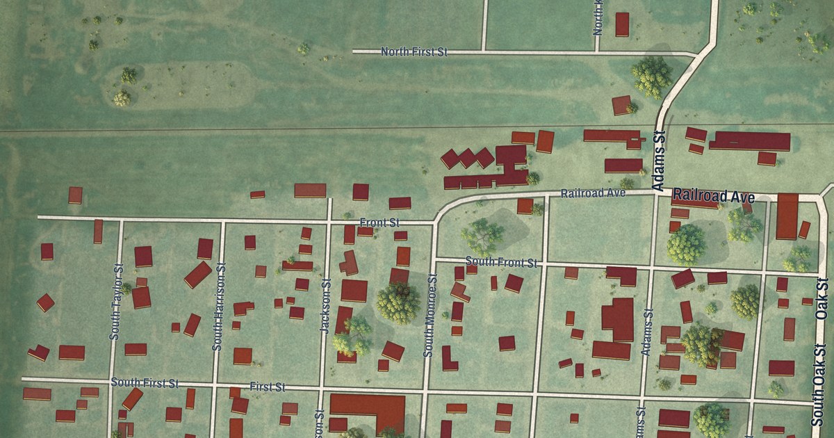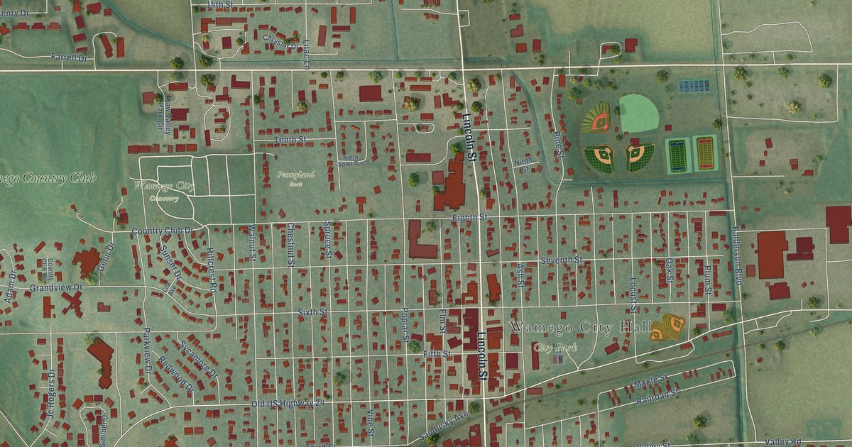
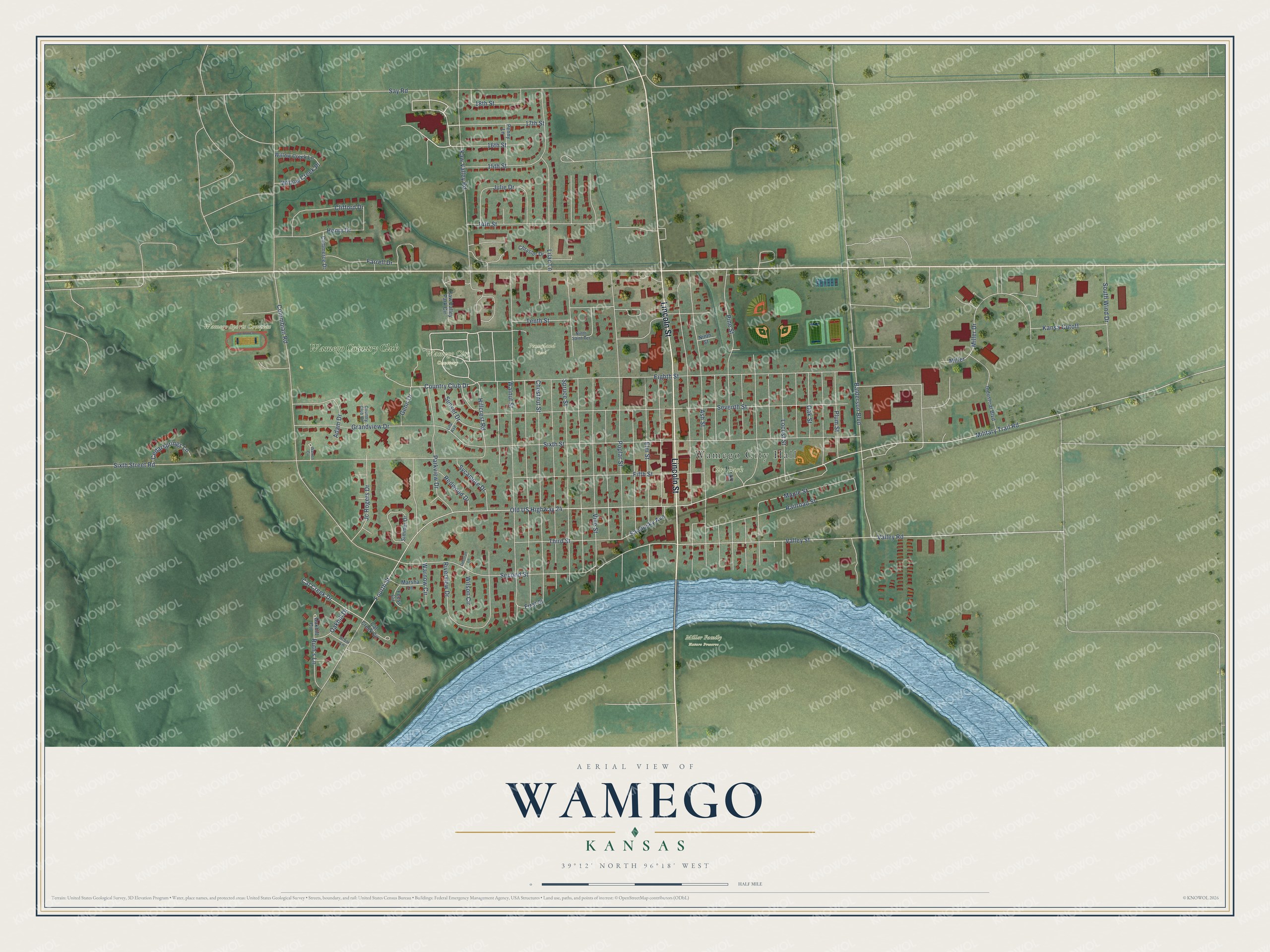
This beautifully detailed map of Wamego, Kansas was created in 2026 using aerial imagery combined with modern topographical, census, street and landmark data. It's a modern aerial view of Wamego in Pottawatomie County, Kansas, that combines modern data with a vintage aesthetic. The roads feature printed names, and if you look closely you can find your exact house accurately shown in its correct location.
Explore an aerial view of Wamego, Kansas
On this map you'll find Wamego City Hall, City Park, Miller Family Nature Preserve, Wamego City Cemetery, Wamego Sports Complex, Pennyland Park, Wamego Country Club, Lincoln Street, Valley Road, Country Club Drive, Valley Street, Hillcrest Road, and more. Each red shape is a building, so zoom in on the preview and look for yours.
Here is a piece of Wamego history, in the words of the record. The record at kancoll.org puts it this way: "The Wamego Lodge, No. 80, I. O. O. F., was organized in October, 1873."
Wamego is a city in Pottawatomie County. The Census Bureau counted 4,841 people here in 2020.
Take a closer look at the Wamego map
Names on this map
These names are printed on this map.
Places: Wamego City Hall, City Park, Miller Family Nature Preserve, Wamego City Cemetery, Wamego Sports Complex, Pennyland Park and Wamego Country Club.
Streets and roads: Lincoln Street, Valley Road, Country Club Drive, Valley Street, Hillcrest Road, Old US Highway 24, Balderson Boulevard, Miller, Fourth Street, Columbian Road, Sixth Street, Sixth Street Road.
More street names, A to Z
14th Street, 15th Street, 16th Street, 17th Street, 18th Street, Adam Drive, Arbor Lane, Ash Street, Cat Creek Circle, Cat Creek Drive, Cedarsprings Lane, Chestnut Street, Chrysler Drive, Clifford Drive, Commerce Drive, Country Club Circle, Deborah Lane, Eighth Street, Elm Street, Farrell Drive, Feess Circle, Fifth Street, First Street, Genn Drive, Grandview Drive, Henry Drive, Industrial Boulevard, Jc Rogers Drive, Julie Drive, Kansa Cutoff, Kaw Valley Park Circle, Kaw Valley Road, Lila Avenue, Lilac Lane, Locust Street, Maple Street, Marsha Lane, Military Trail Road, Miller Drive, Ninth Saint Terrace, Ninth Street, Oakhill Circle, Oakhill Drive, Oak Street, Parkview Drive, Penny Lane, Pine Street, Plum Street, Poplar Street, Railroad Street, Redwood Drive, Riverview Drive, Ruth's Lane, Sandusky Avenue, Say Road, Second Street, Seventh Street, Simmer Drive, South Wind Drive, Spruce Street, Sunset Drive, Sycamore Drive, Tenth Street, Third Street, Vine Street, Walnut Street, Warnow Circle, Warren Circle, Willow Creek Lane, Willow Creek Place, Wilson Circle.
Created by KNOWOL in 2026. The buildings are small red shapes, the roads carry their printed names, and shaded relief shows the shape of the land. The title panel reads "AERIAL VIEW OF WAMEGO KANSAS" with 39°12' NORTH 96°18' WEST.
It suits a den, a classroom or a front hall, and it makes a gift for anyone with Wamego roots. Open the preview and find the block you know. See sizes and frames for the Wamego map.