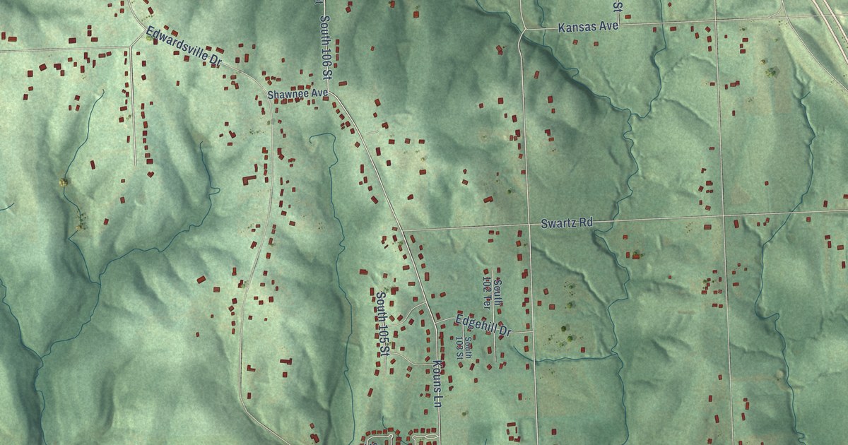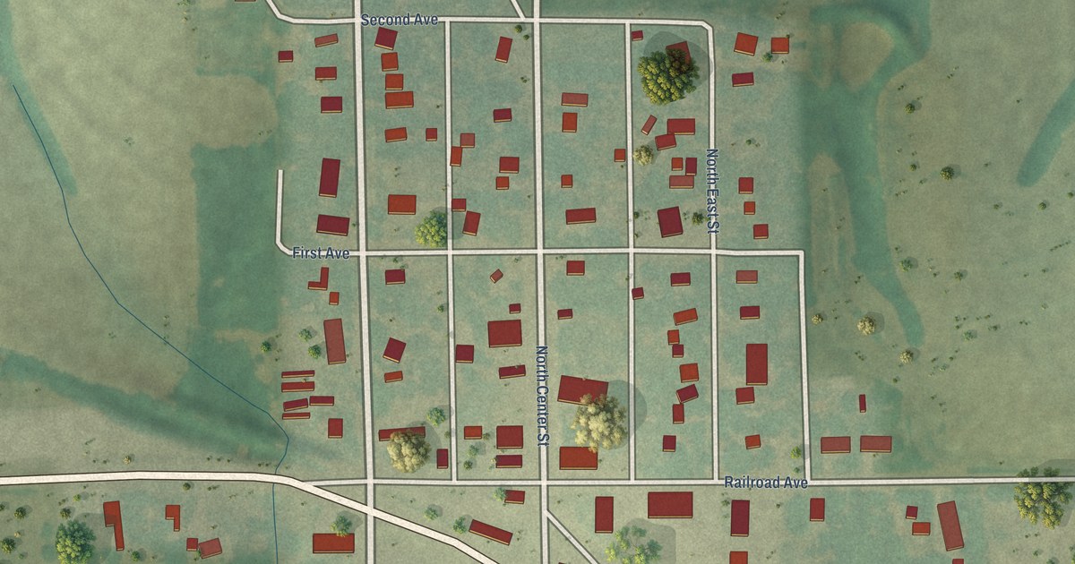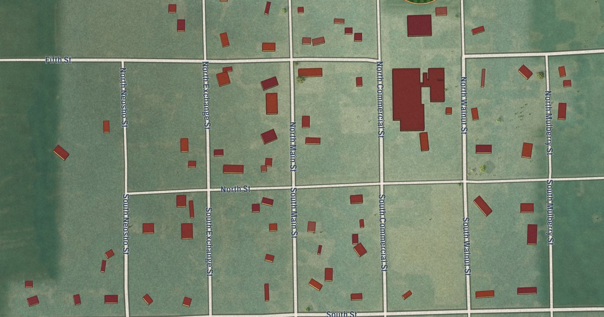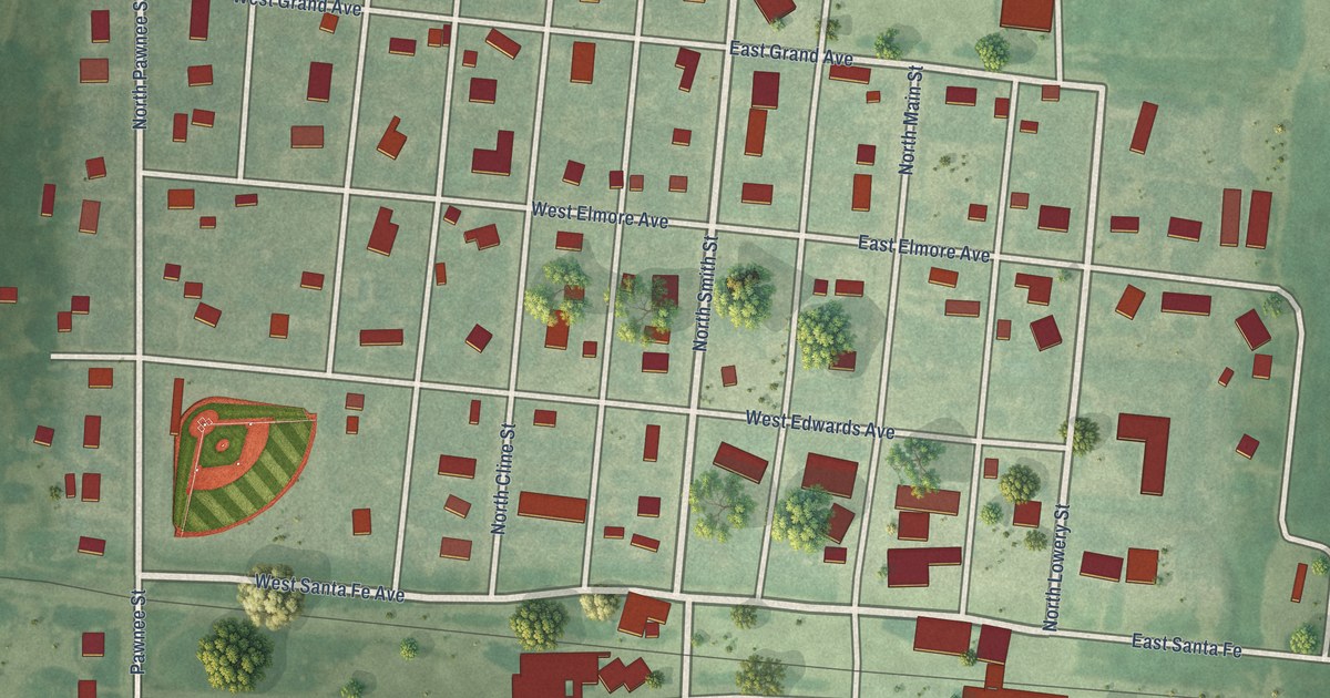
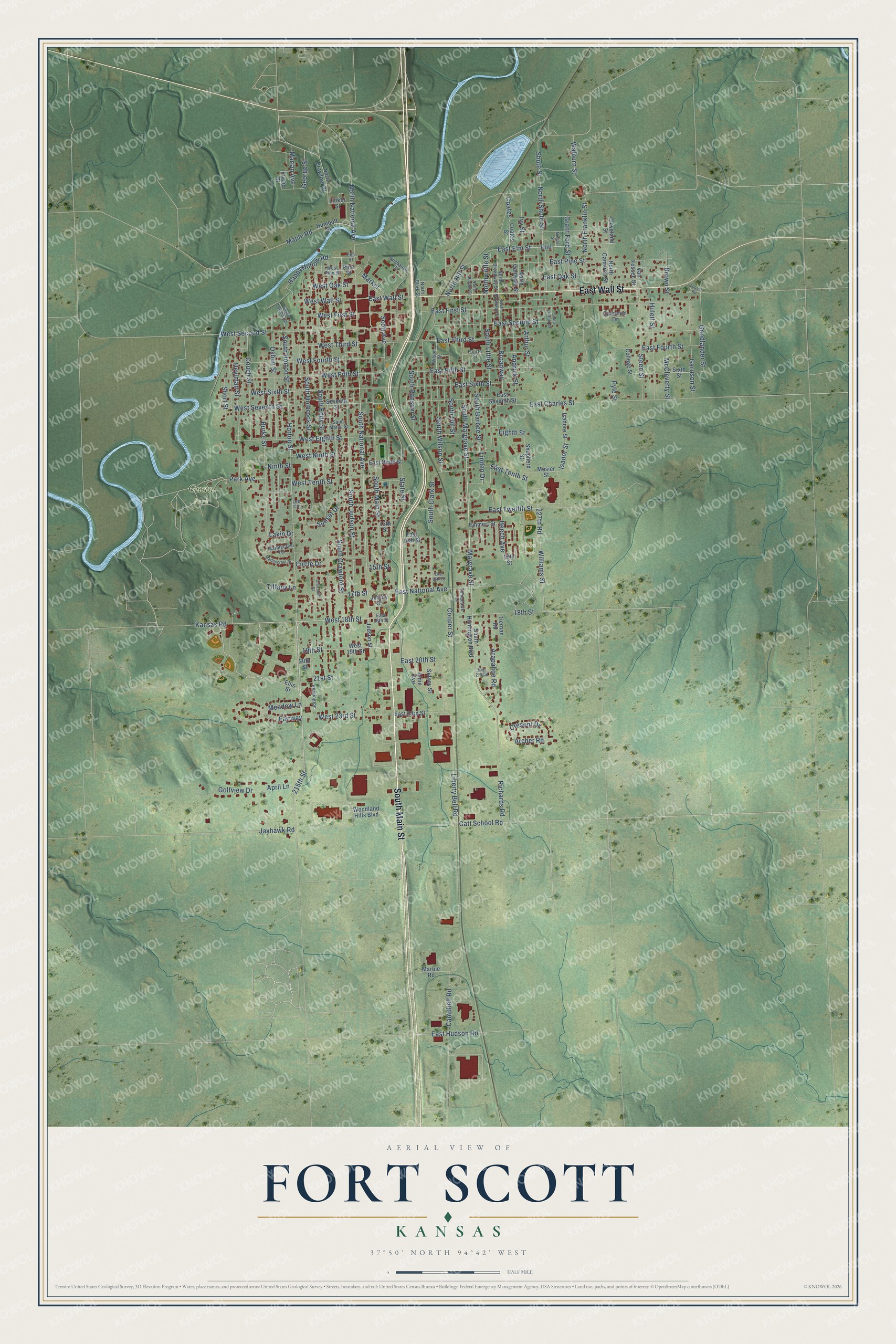
This beautifully detailed map of Fort Scott, Kansas was created in 2026 using aerial imagery combined with modern topographical, census, street and landmark data. It's a modern aerial view of Fort Scott in Bourbon County, Kansas, that combines modern data with a vintage aesthetic. The roads feature printed names, and if you look closely you can find your exact house accurately shown in its correct location.
Explore an aerial view of Fort Scott, Kansas
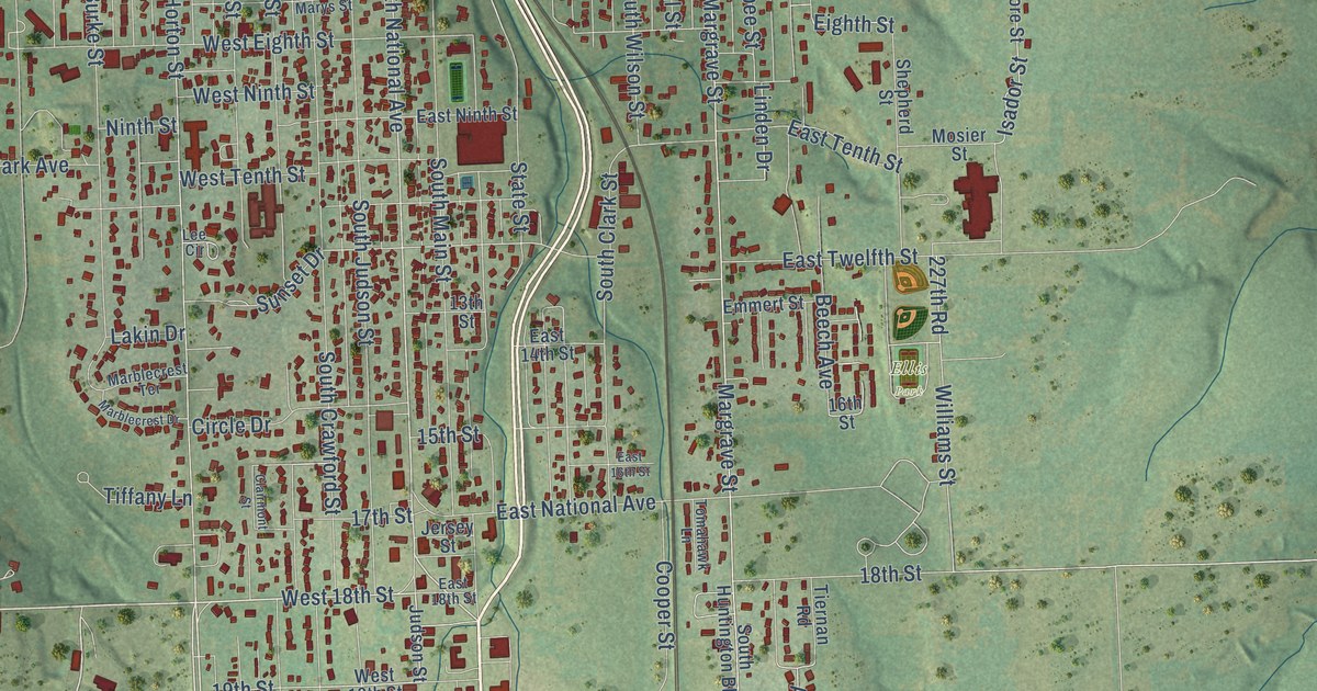
On this map you'll find Ellis Park, Gunn Park, South Main Street, East Wall Street, Horton Street, 18th Street, West 18th Street, South National Avenue, South Horton Street, Archer Road, Margrave Street, Linden Drive, and more. Each red shape is a building, so zoom in on the preview and look for yours.
Fort Scott has a story worth telling. The Kansas State Teachers College puts it this way: "Camp Scott was the name given the site, in honor of the stern old military hero, General Winfield Scott. Fort Scott was identified closely with the territorial development of the U.S."
Fort Scott is a city in Bourbon County. The Census Bureau counted 7,552 people here in 2020.
Take a closer look at the Fort Scott map
Names on this map
These names are printed on this map.
Places: Ellis Park and Gunn Park.
Streets and roads: South Main Street, East Wall Street, Horton Street, 18th Street, West 18th Street, South National Avenue, South Horton Street, Archer Road, Margrave Street, Linden Drive, 19th Street, Elm.
More street names, A to Z
13th Street, 15th Street, 16th Street, 17th Street, 20th Street, 21st Street, 215th Street, 227th Road, Aldie Avenue, Andrick Street, April Lane, Arapahoe Road, Arthur Street, Beech Avenue, Broadway, Brown Street, Buchanan Street, Burke Street, Cameron Drive, Campbell Road, Catt School Road, Circle Drive, Clairmont Street, Cleveland Street, Coates, Coates Street, College Street, Cooper Street, Couch Street, Cresent Drive, East 14th Street, East 16th Street, East 18th Street, East 20th Street, East 21st Street, East 23rd Street, East Charles Street, East Elm Street, East Fifth Street, East First Street, East Fourth Street, East Hudson Road, East National Avenue, East Ninth Street, East Oak Street, East Pine Street, East Second Street, East Seventh Street, East Sixth Street, East Tenth Street, East Third Street, East Twelfth Street, Eighth Street, Ellis Street, Elm Street, Emmert Street, Euclid Street, Fairway, Fourth Street, Garrison Street, George Street, Golfview Drive, Goodlander Street, Grant Ford Street, Happy Hollow Road, Heylman Street, Hulett Street, Humbolt Street, Huntington, Isadore Street, Isador Street, Ivy Street, Jayhawk Road, Jersey Street, Judson Street, Kansas Road, Lakin Drive, Lee Circle, Liberty Bell Road, Linker Street, Locust Road, Maple Road, Marblecrest Drive, Marblecrest Terrace, Marble Road, Marian Avenue, Market, McCleverty Street, Meadow Lane, Mineral Street, Mosier Street, Ninth Street, North Barbee Street, North Broadway Street, North Caldwell Street, North Cameron Street, North Clark Street, North Crawford Street, North Franklin Street, North Hill Street, North Little Street, North National Avenue, North Shute Street, Osbun Street, Park Avenue, Pine Street, Pyle Street, Richards Road, Saint Marys Street, Scott Avenue, Seventh Street, Shepherd Street, Short Street, Shute Street, Sidney Street, Sixth Street, South Barbee Street, South Broadway Street, South Clark Street, South Crawford Street, South Eddy Street, South Hill Street, South Holbrook Street, South Huntington Boulevard, South Judson Street, South Lincoln Street, South Little Street, South Lowman Street, South Margrave Street, South Ransom Street, South Wilson Street, State Street, Steen Street, Sunset Drive, Tiernan Road, Tiffany Lane, Tomahawk Lane, Van Fossen Street, Walburn Street, West 19th Street, West 23rd Street, West Eighth Street, West Fifth Street, West First Street, West Fourth Street, West Ninth Street, West Oak Street, West Pine Street, West Second Street, West Seventh Street, West Sixth Street, West Tenth Street, West Third Street, West Wall Street, Williams Street, Wilson Street, Woodland Hills Boulevard.
Created by KNOWOL in 2026. The buildings are small red shapes, the roads carry their printed names, and shaded relief shows the shape of the land. The title panel reads "AERIAL VIEW OF FORT SCOTT KANSAS" with 37°50' NORTH 94°42' WEST.
It looks right in a kitchen, an office or a den, and it's a gift for anyone who grew up in Fort Scott or moved away. Open the preview and find your street. See sizes and frames for the Fort Scott map.