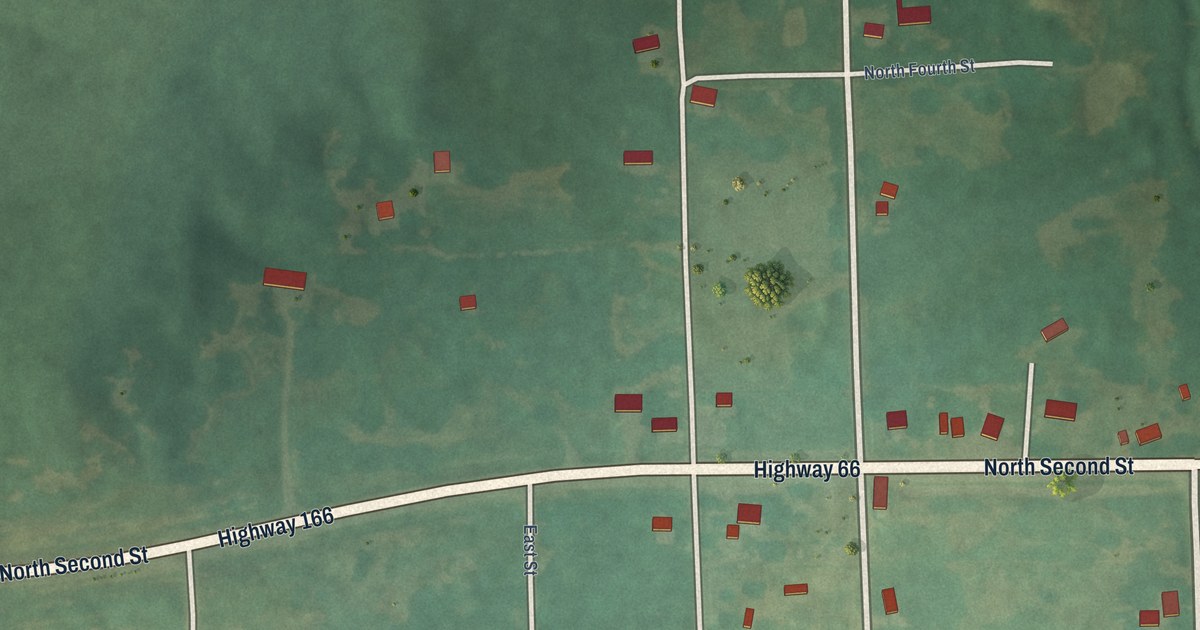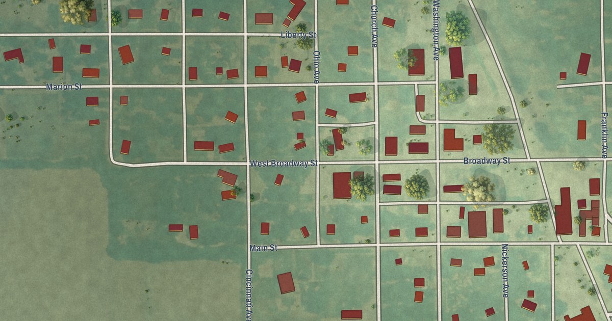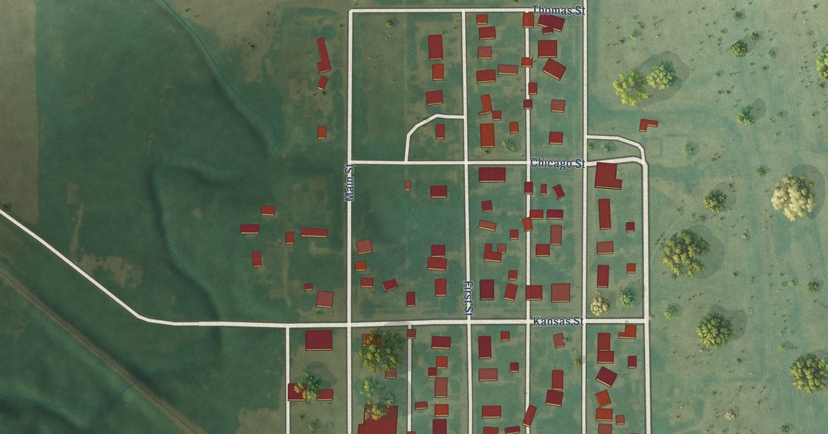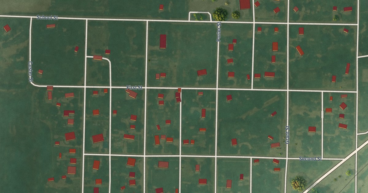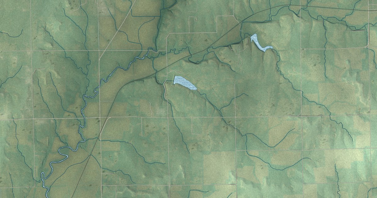
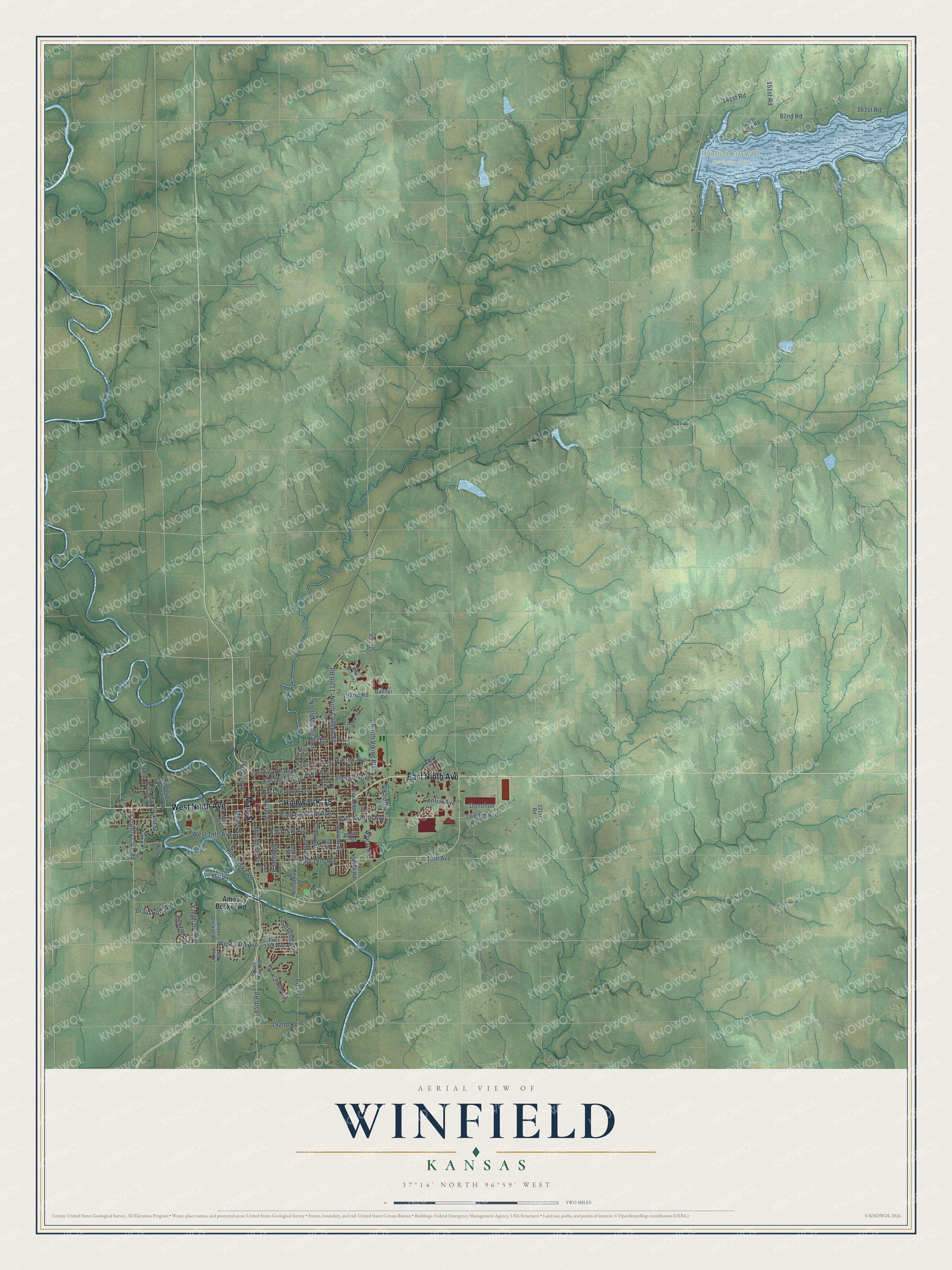
This beautifully detailed map of Winfield, Kansas was created in 2026 using aerial imagery combined with modern topographical, census, street and landmark data. It's a modern aerial view of Winfield in Cowley County, Kansas, that combines modern data with a vintage aesthetic. The roads feature printed names, and if you look closely you can find your exact house accurately shown in its correct location.
Explore an aerial view of Winfield, Kansas
On this map you'll find Winfield City Lake Recreation Area, Highway K-15, East Ninth Avenue, West Ninth Avenue, Main Street, Country Club Road, 141st Road, Mound Street, West 33rd Avenue, East Twelfth Avenue, 82nd Road, East 19th Avenue, and more. Each red shape is a building, so zoom in on the preview and look for yours.
Winfield has a story worth telling. The record at kancoll.org puts it this way: "In 1878, the long wooden building in the northwest corner of the First Ward school block, was built to accommodate the primary department and ease the overflowing main building."
Winfield is a city in Cowley County. The Census Bureau counted 11,777 people here in 2020.
Take a closer look at the Winfield map
Names on this map
These names are printed on this map.
Places: Winfield City Lake Recreation Area.
Streets and roads: Highway K-15, East Ninth Avenue, West Ninth Avenue, Main Street, Country Club Road, 141st Road, Mound Street, West 33rd Avenue, East Twelfth Avenue, 82nd Road, East 19th Avenue, 112th Road.
More street names, A to Z
19th Avenue, 81st Road, 85th Road, 91st Road, 101st Road, 121st Road, 151st Road, 152nd Road, 161st Road, 192nd Road, Alexander Street, Amos Becker Road, Andrews Street, Ann Street, Banner Road, Booth Street, Braid Hills Drive, Broad Street, Broadway Street, Cabrillo Drive, Cathlinda Drive, Cave Drive, Central Avenue, Cherry Street, Dee Street, Donohue, East 14th Avenue, East 33rd Avenue, East Eleventh Avenue, East Fifth Avenue, East First Avenue, East Fourth Avenue, East Seventh Avenue, East Sixth Avenue, East Third Avenue, Easy Street, Elwell Drive, Flood Dike Road, Fowler Avenue, Fuller Street, Grand Street, Harris Road, Janes Avenue, Joel Mack Road, John Street, Lake Park Drive, Loomis Street, Lowry Street, Lynn Avenue, Manning Street, Maris Street, Menor Street, Millington Street, North Avenue, North College Street, North Lake Road, North McCabe, North Michigan Street, North Viking Boulevard, Phillips Sheppard Road, Pine Avenue, Quail Ridge Drive, Simpson Avenue, Smith Road, South Pike Road, Stacy Graham Road, Tunnel Mill Road, Twelfth Avenue, Walnut Street, Warren Avenue, West 14th Avenue, Wheat Road, Yaeger Drive.
Created by KNOWOL in 2026. The buildings are small red shapes, the roads carry their printed names, and shaded relief shows the shape of the land. The title panel reads "AERIAL VIEW OF WINFIELD KANSAS" with 37°14' NORTH 96°59' WEST.
It looks right in a kitchen, an office or a den, and it's a gift for anyone who grew up in Winfield or moved away. Open the preview and find your street. See sizes and frames for the Winfield map.