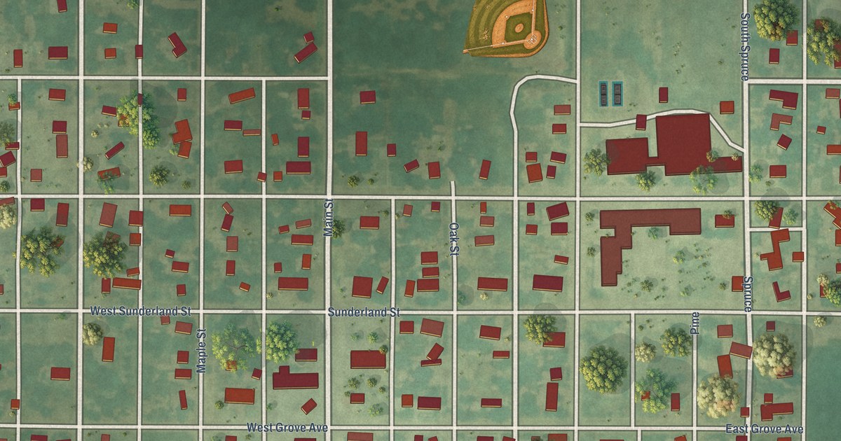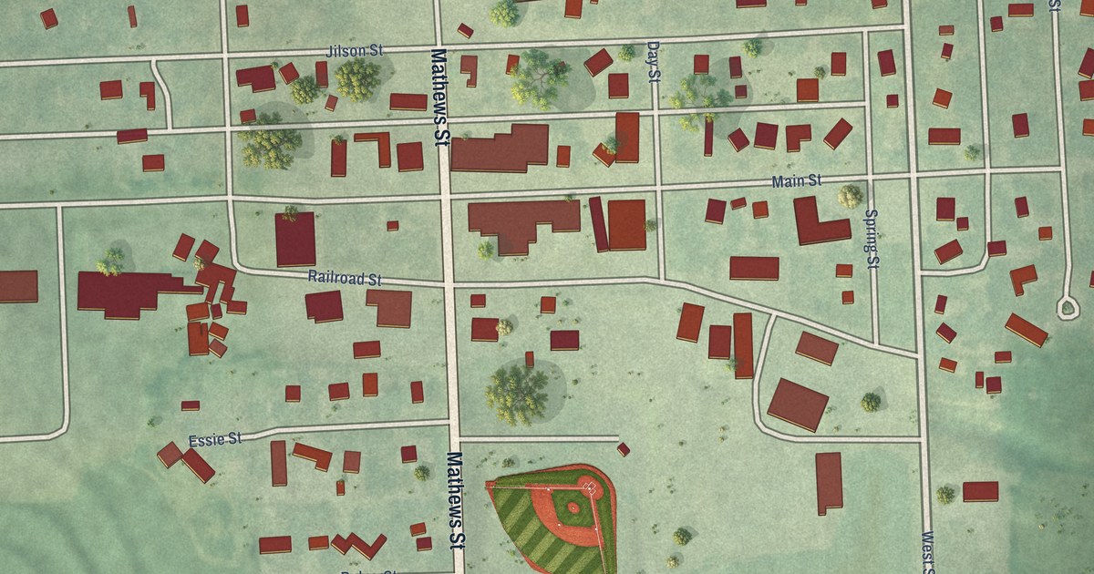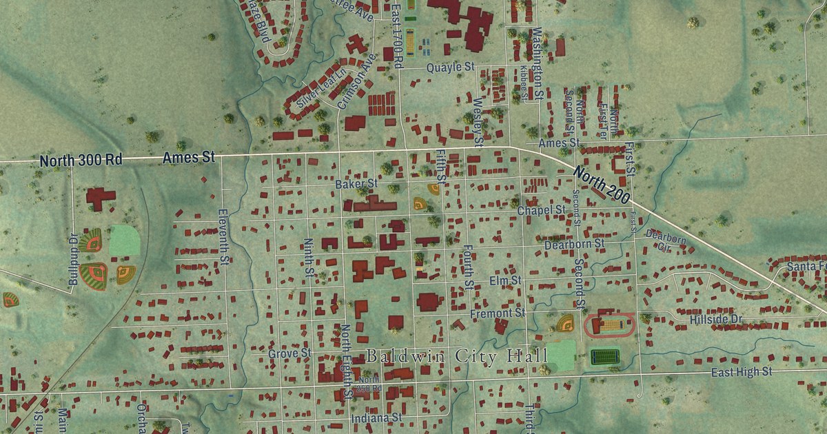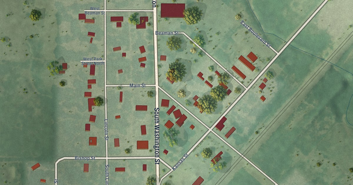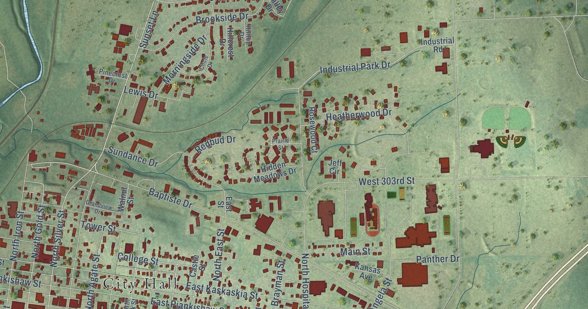
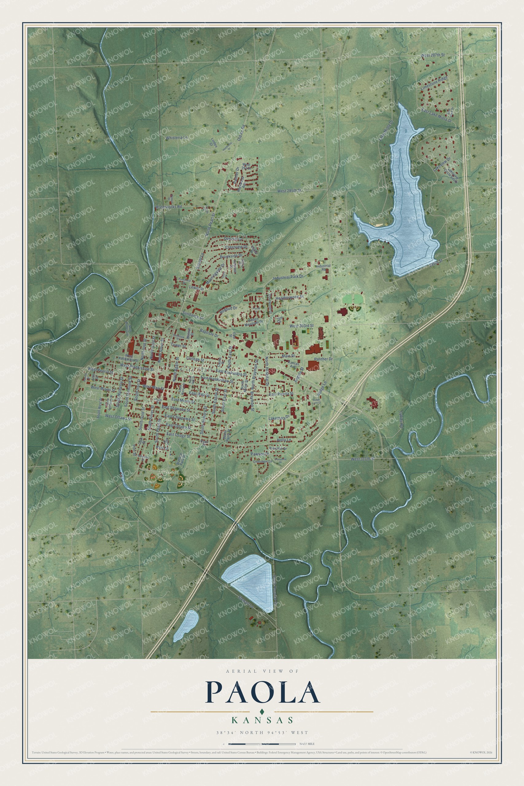
This beautifully detailed map of Paola, Kansas was created in 2026 using aerial imagery combined with modern topographical, census, street and landmark data. It's a modern aerial view of Paola in Miami County, Kansas, that combines modern data with a vintage aesthetic. The roads feature printed names, and if you look closely you can find your exact house accurately shown in its correct location.
Explore an aerial view of Paola, Kansas
On this map you'll find City Hall, Wallace Park, Paola Golf Club, East Peoria Street, North Pearl Street, South Gold Street, West Ottawa Street, South Castle Street, North Silver Street, South Hickory Street, Hedge Lane, North Gold Street, and more. Each red shape is a building, so zoom in on the preview and look for yours.
Paola has a story worth telling. The record at kancoll.org puts it this way: "The first years of the war interfered materially with religious affairs in this part of Kansas, and the church was used until 1863 for a stable."
Paola is a city in Miami County. The Census Bureau counted 5,768 people here in 2020.
Take a closer look at the Paola map
Names on this map
These names are printed on this map.
Places: City Hall, Wallace Park and Paola Golf Club.
Streets and roads: East Peoria Street, North Pearl Street, South Gold Street, West Ottawa Street, South Castle Street, North Silver Street, South Hickory Street, Hedge Lane, North Gold Street, South Pearl Street, West 295th Street, College Street.
More street names, A to Z
299th Street, Agate Street, Angela Street, Baptiste Drive, Blue Stem Drive, Brayman Street, Brookside Drive, Castle Street, Centennial Drive, Cherokee Lane, Circle Drive, Craven Drive, Crestview Drive, Delaware Street, East Chippewa Street, East Kaskaskia Street, East Lake Miola Drive, East Miami Street, East Osage Street, East Ottawa Street, East Piankishaw Street, East Shawnee Street, East Street, East Wea Street, Fifth Street, Fourth Street, Gold Street, Grandview Drive, Hawthorne Drive, Heatherwood Drive, Hedge Lane Court, Hidden Meadows Drive, Hillcrest Drive, Hilltop Drive, Holly Lane, Industrial Park Drive, Industrial Road, Iron Street, Jeff Circle, Kansas Avenue, Lakemary Drive, Lake Miola Drive, Lakeview Circle South, Lakeview Drive, Lewis Drive, Limestone Ridge, Linden Court, Lykins Road, Main Street, Miami Street, Morningside Drive, Nakomis Drive, North Agate Street, North Brayman Street, North East Street, North Hospital Drive, North Iron Street, North Miller Street, North Mulberry Street, North Oak Street, Old Kc Road, Overhill Drive, Palmer Drive, Panther Drive, Park Street, Pawnee Drive, Pemco Drive, Pinecrest Drive, Prairie Street, Redbud Drive, Rockwood Avenue, Rosewood Court, Ryan Street, South Diamond Street, South East Street, South Hospital Drive, South Iron Street, South Mulberry Street, South Paola Street, South Petroleus Street, South Silver Street, South Walnut Street, South West Street, Stewart Lane, Sundance Drive, Sunset Lane, Tower Street, Valley Drive, Wallace Park Drive, Walnut Street, Waterworks Road, West 287th Street, West 293 Street, West 303rd Street, West 311th Street, West Kaskaskia Street, West Miami Street, West Peoria Street, West Piankishaw Street, West Wea Street, Whisteria Lane.
Created by KNOWOL in 2026. The buildings are small red shapes, the roads carry their printed names, and shaded relief shows the shape of the land. The title panel reads "AERIAL VIEW OF PAOLA KANSAS" with 38°34' NORTH 94°53' WEST.
It looks right in a kitchen, an office or a den, and it's a gift for anyone who grew up in Paola or moved away. Open the preview and find your street. See sizes and frames for the Paola map.