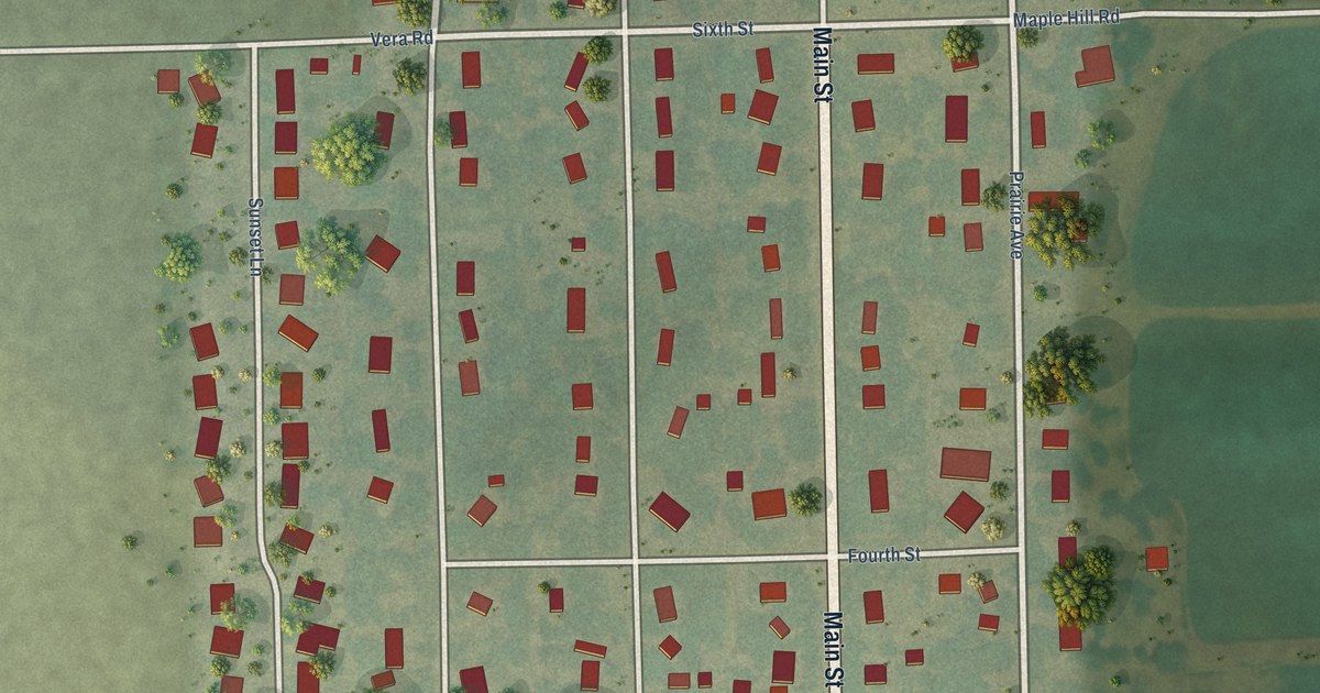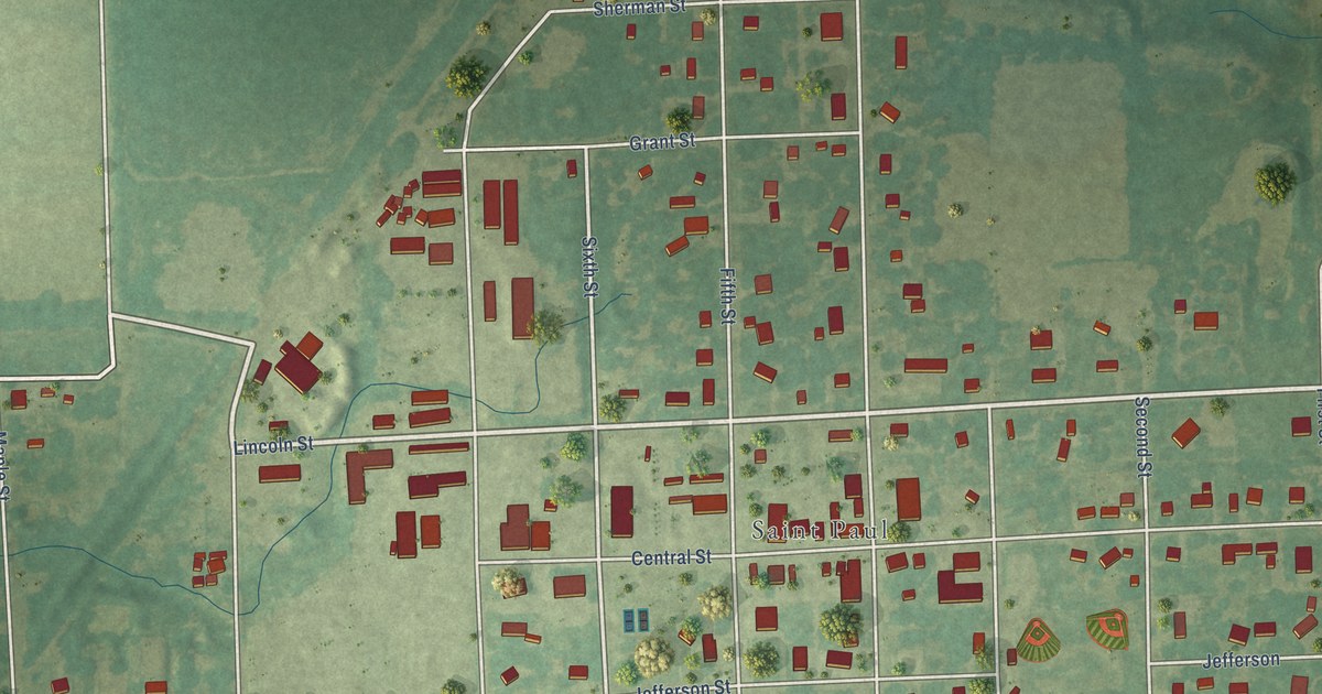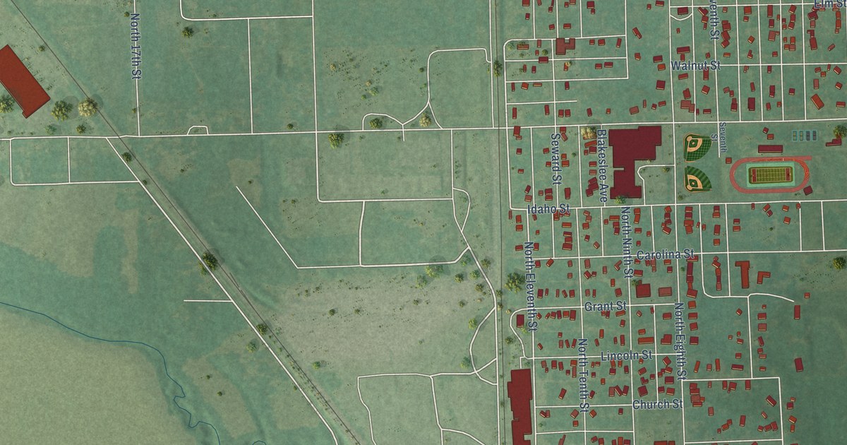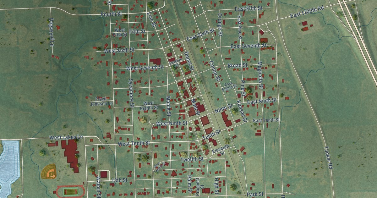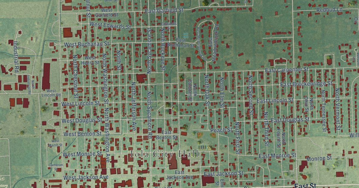
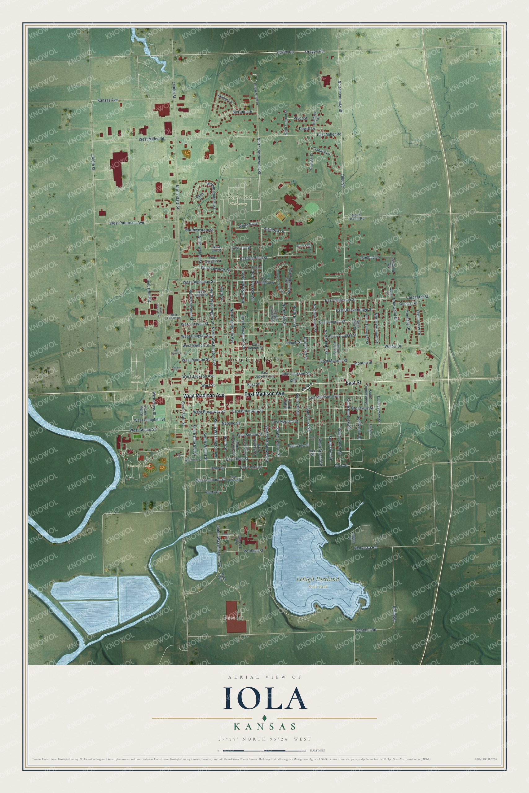
This beautifully detailed map of Iola, Kansas was created in 2026 using aerial imagery combined with modern topographical, census, street and landmark data. It's a modern aerial view of Iola in Allen County, Kansas, that combines modern data with a vintage aesthetic. The roads feature printed names, and if you look closely you can find your exact house accurately shown in its correct location.
Explore an aerial view of Iola, Kansas
On this map you'll find Iola City Hall, Bassett, Highland Cemetery, Iola Cemetery, Lehigh Portland State Park, Riverside Park, East Madison Avenue, West Madison Avenue, East Street, South Street, East Irwin Street, Irwin Street, and more. Each red shape is a building, so zoom in on the preview and look for yours.
Every town has a first chapter, and Iola is no exception. The record at kancoll.org puts it this way: "A public school was at once established, and has since kept pace with the development of the town, new departments being added from time to time as required."
Iola is a city in Allen County. The Census Bureau counted 5,396 people here in 2020.
Take a closer look at the Iola map
Names on this map
These names are printed on this map.
Places: Iola City Hall, Bassett, Highland Cemetery, Iola Cemetery, Lehigh Portland State Park, Riverside Park and Acers Park.
Streets and roads: East Madison Avenue, West Madison Avenue, East Street, South Street, East Irwin Street, Irwin Street, South Chestnut Street, South Cottonwood Street, Austin Road, North Kentucky Street, South Washington Avenue, South Kentucky Street.
More street names, A to Z
1300th Street, 1400th Street, 1600 Street, 1600th Street, 1650th Street, Acers Street, Alamosa Lane, Briarwood Drive, Broadway Street, Cameron Street, Canary Lane, Cardinal Drive, Carpenter Street, Cedarbrook Drive, Cement Street, Dewitt Drive, East Benton Street, East Breckenridge Street, East Broadway Street, East Buchanan Street, East Calhoun Street, East Carpenter Street, East Douglas Street, East Garfield Street, East Jackson Avenue, East Jackson Street, East Jim Street, East Lincoln Street, East Meadowbrook Road, East Miller Road, East Monroe Street, East Neosho Street, East Rock Street, East Spruce Street, East Vine Street, Edwards Street, Eisenhower Drive, Elm Street, Garfield Road North, Immel Lane, Industrial Road, Kansas Avenue, Kansas Drive, Kennedy Drive, Kenwood Circle, Madison Street, McGuire Drive, Monroe Street, Montana Road, Nebraska Road, Neosho Street, North Buckeye Street, North Chestnut Street, North Colborn Street, North Cottonwood Street, North Dakota Road, North Elm Street, North First Street, North Fourth Street, North Funston Street, North High Street, North Industrial Road, North Jefferson Avenue, North Oak Street, North Ohio Street, Northrup Avenue, North Second Street, North State Street, North Street, North Sycamore Road, North Sycamore Street, North Tennessee Street, North Third Street, North Vermont Street, North Walnut Street, North Washington Avenue, North Washington Street, Northwestern Street, Oregon Road, Peach Street, Portland Street, Prairie Drive, Pryor Street, Redbud Lane, Rock Street, Ryan Avenue, South Buckeye Street, South Colborn Street, South Elm Street, South First Street, South Fourth Street, South Jefferson Avenue, South Oak Street, South Ohio Street, South Second Street, South State Street, South Sycamore Street, South Tennessee Street, South Third Street, South Vermont Street, South Waashington Avenue, South Walnut Street, Spruce Street, Tennessee Street, Vine Street, Walnut Road East, West Benton Street, West Broadway Street, West Bruner Street, West Buchanan Street, West Calhoun Street, West Campbell Street, West Davis Street, West Douglas Street, West Edwards Street, West Garfield Street, West Henry Street, West Jackson Avenue, West Jim Street, West Lincoln Road, West Lincoln Street, West Martin Street, West Meadowbrook Road, West Miller Road, West Monroe Street, West Patterson Avenue, West Rock Street, West Street, Wheeler Avenue, White Boulevard, Willow Drive, Wilson Lane.
Created by KNOWOL in 2026. The buildings are small red shapes, the roads carry their printed names, and shaded relief shows the shape of the land. The title panel reads "AERIAL VIEW OF IOLA KANSAS" with 37°55' NORTH 95°24' WEST.
Hang it in the hallway, the office or the cabin, or give it to someone who left Iola and still calls it home. Open the preview and look for a street you know. See sizes and frames for the Iola map.