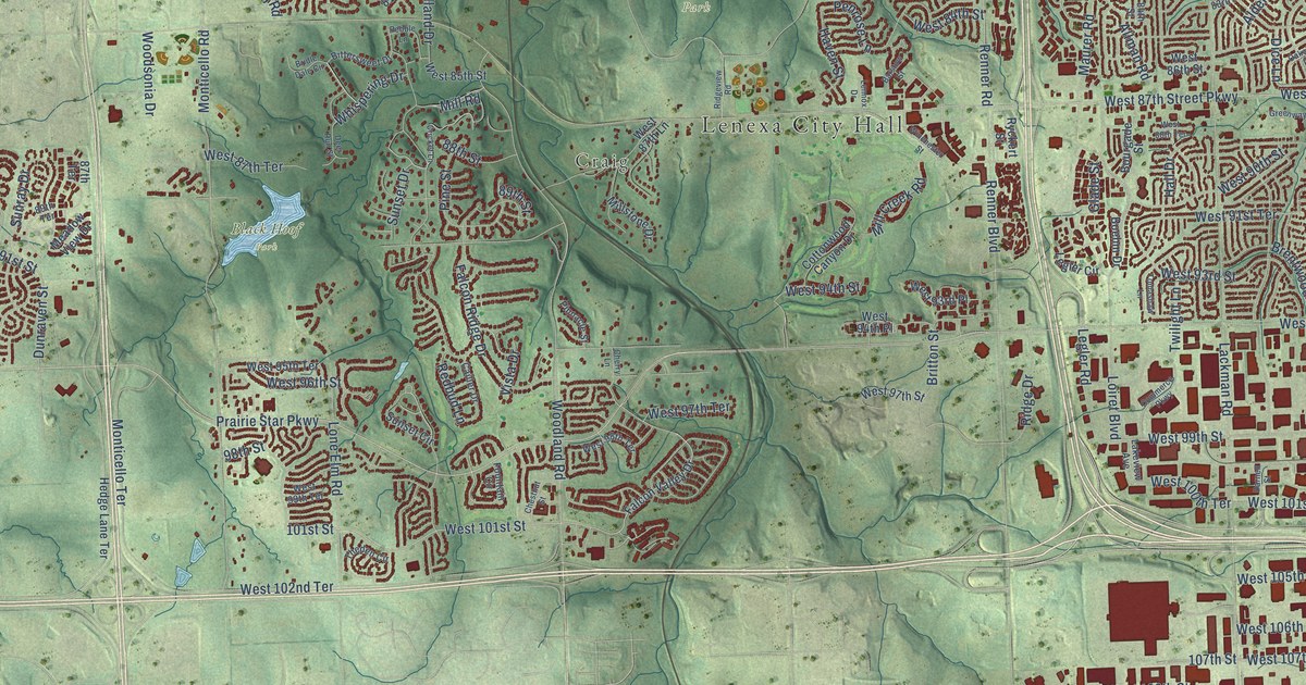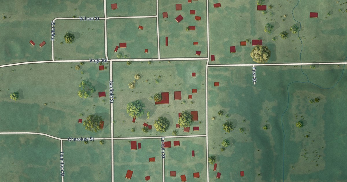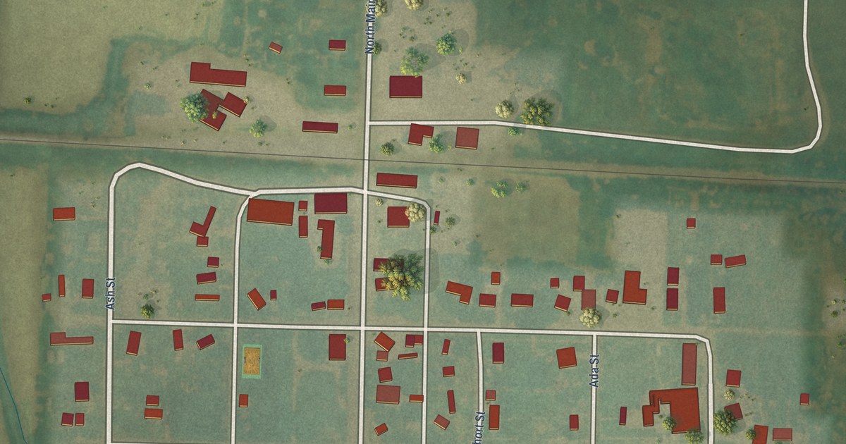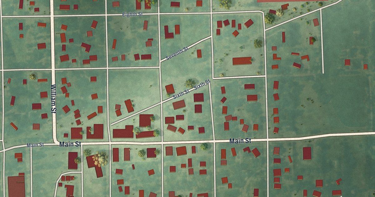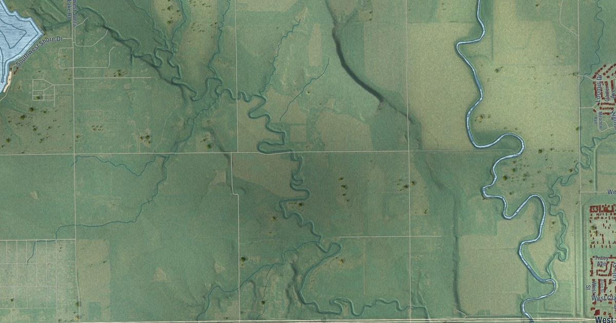
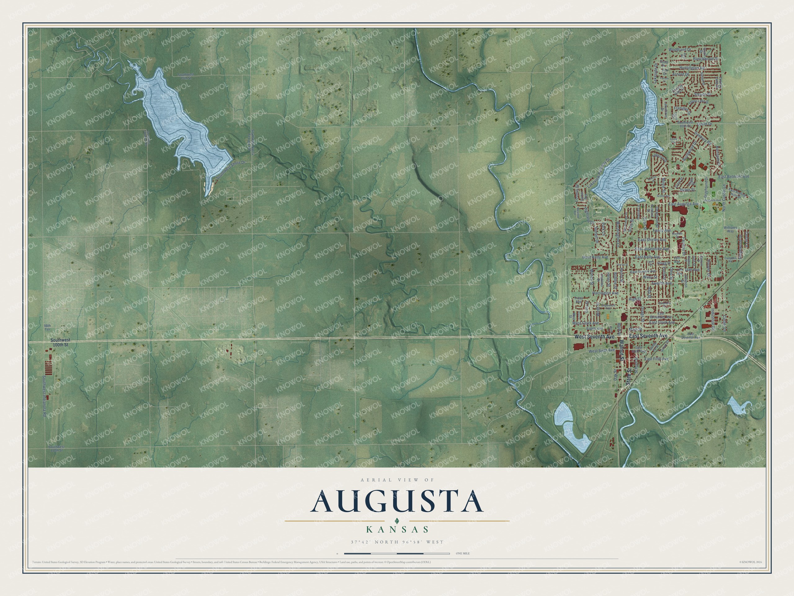
This beautifully detailed map of Augusta, Kansas was created in 2026 using aerial imagery combined with modern topographical, census, street and landmark data. It's a modern aerial view of Augusta in Butler County, Kansas, that combines modern data with a vintage aesthetic. The roads feature printed names, and if you look closely you can find your exact house accurately shown in its correct location.
Explore an aerial view of Augusta, Kansas
On this map you'll find Elmwood Cemetery, Garvin Park, West Seventh Avenue, State Street, Walnut Street, East Seventh Avenue, Lakeview Parkway Drive, Dearborn Street, East Augusta Avenue, Fanny Avenue, East Shirley Avenue, Southwest Shore Drive, and more. Each red shape is a building, so zoom in on the preview and look for yours.
Augusta has a story worth telling. The record at kancoll.org puts it this way: "Augusta Chapter, No. 25, Order of the Eastern Star , was organized on February 25, 1874, but never made much progress, and has long since died out."
Augusta is a city in Butler County. The Census Bureau counted 9,256 people here in 2020.
Take a closer look at the Augusta map
Names on this map
These names are printed on this map.
Places: Elmwood Cemetery and Garvin Park.
Streets and roads: West Seventh Avenue, State Street, Walnut Street, East Seventh Avenue, Lakeview Parkway Drive, Dearborn Street, East Augusta Avenue, Fanny Avenue, East Shirley Avenue, Southwest Shore Drive, Cedar Lane, Fairway Drive.
More street names, A to Z
13th Avenue, 14th Avenue, 15th Avenue, 98th Terrace, Ada Street, Akron Street, Alice Street, Angelina Drive, Arnold Drive, Augusta Avenue, Belmont Court, Bluff Street, Bobbie Street, Campbell Road, Carter Avenue, Charles Street, Columbia Street, Country Hills Drive, Country Lane Drive, Crest Street, Cron Street, Custer Lane, Danbury Road, David Drive, East Belmont Avenue, East Broadway Avenue, East Clark Avenue, East Fifth Avenue, East Josephine Avenue, East Kelly Avenue, East Rolling Hills Drive, East Sixth Avenue, East Summit Avenue, Edgewood Avenue, Eighth Avenue, Elm Drive, Euclid Street, Fairlane Drive, Flanigan Drive, Golf Street, Good Drive, Grand Avenue, Grayhound Drive, Gregg Street, Grove Street, Harrington Avenue, Helen Street, Henry Street, Highland Drive, High Street, Hooper Drive, Huntington Road, Industrial Road, Johnson Street, Lakeshore Drive, Lakeside Drive, Larry Street, Leckliter Drive, Leigh Street, Loomis Drive, Lulu Street, Mainsgate Drive, Main Street, Meadow Avenue, Meadowlake Drive, Money Street, Motor Court, Moyle Street, North Custer Lane, Oak Street, Ohio Street, Osage Street, Park Lane, Post Road, Prairie Lane, Quail Drive, Ranchwood Drive, Ridgewood Drive, Robbins Street, Rushwood Drive, Santa Fe Street, School Street, Smiles Avenue, Southwest 75th Street, Southwest 80th Street, Southwest 100th Street, Southwest 110th Street, Southwest Indianola Road, Southwest Santa Fe Lake Road, Southwest Tawakoni Road, Spencer Drive, Stadium Drive, Starkey Street, Steven Street, Stone Lake Drive, Sunset Drive, Susan Street, Taylor Avenue, Tracy Avenue, Twelfth Avenue, Washington Lane, West Clark Avenue, West Kelly Avenue, West Sixth Avenue, West Street, Wiley Street, Williams Way, Wirth Street, Woodland Drive.
Created by KNOWOL in 2026. The buildings are small red shapes, the roads carry their printed names, and shaded relief shows the shape of the land. The title panel reads "AERIAL VIEW OF AUGUSTA KANSAS" with 37°42' NORTH 96°58' WEST.
It looks right in a kitchen, an office or a den, and it's a gift for anyone who grew up in Augusta or moved away. Open the preview and find your street. See sizes and frames for the Augusta map.