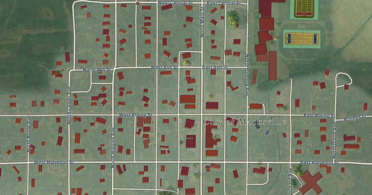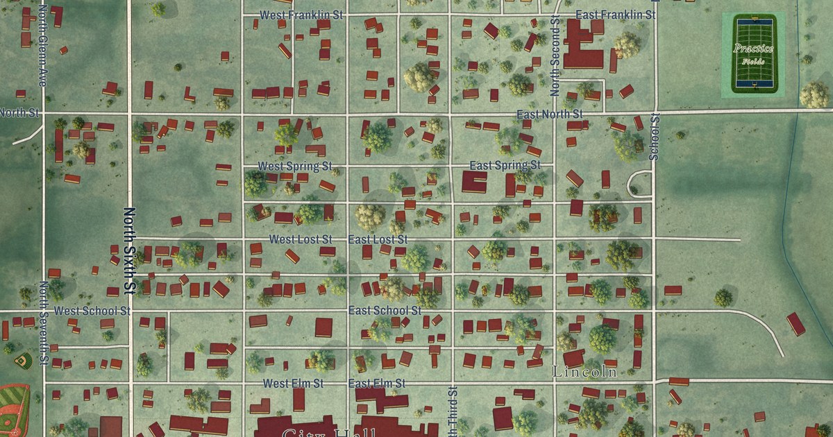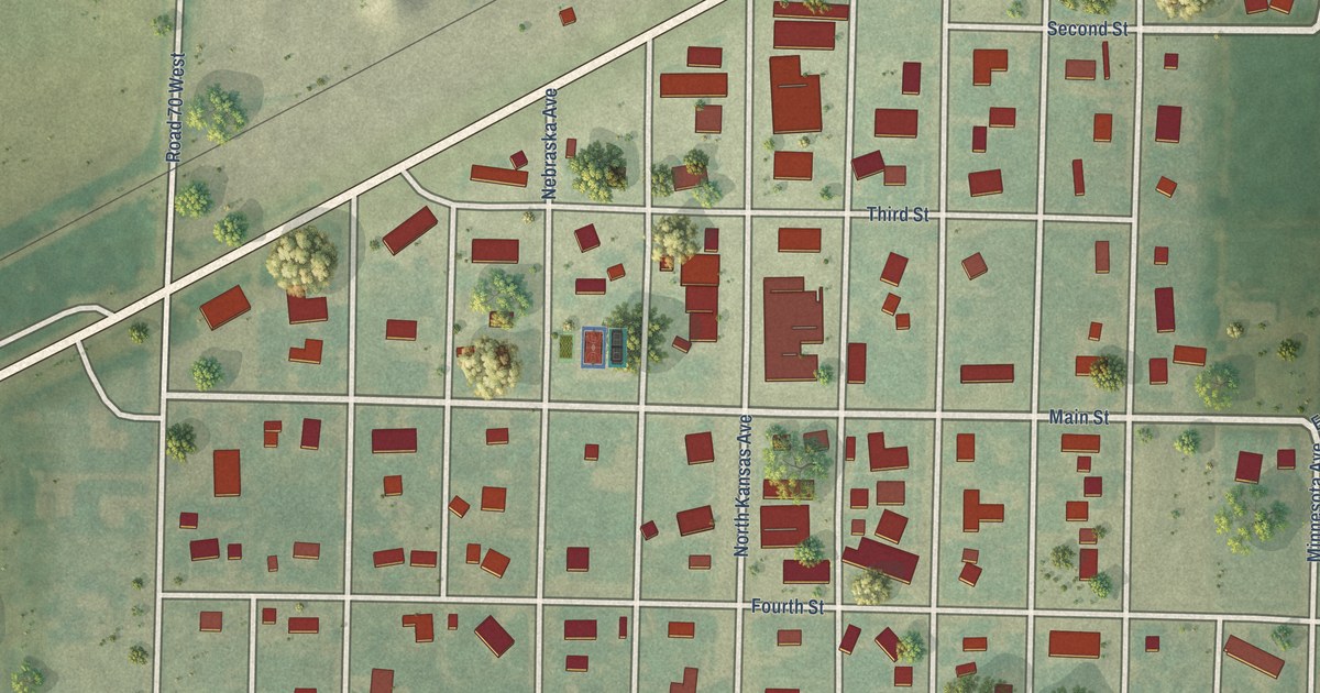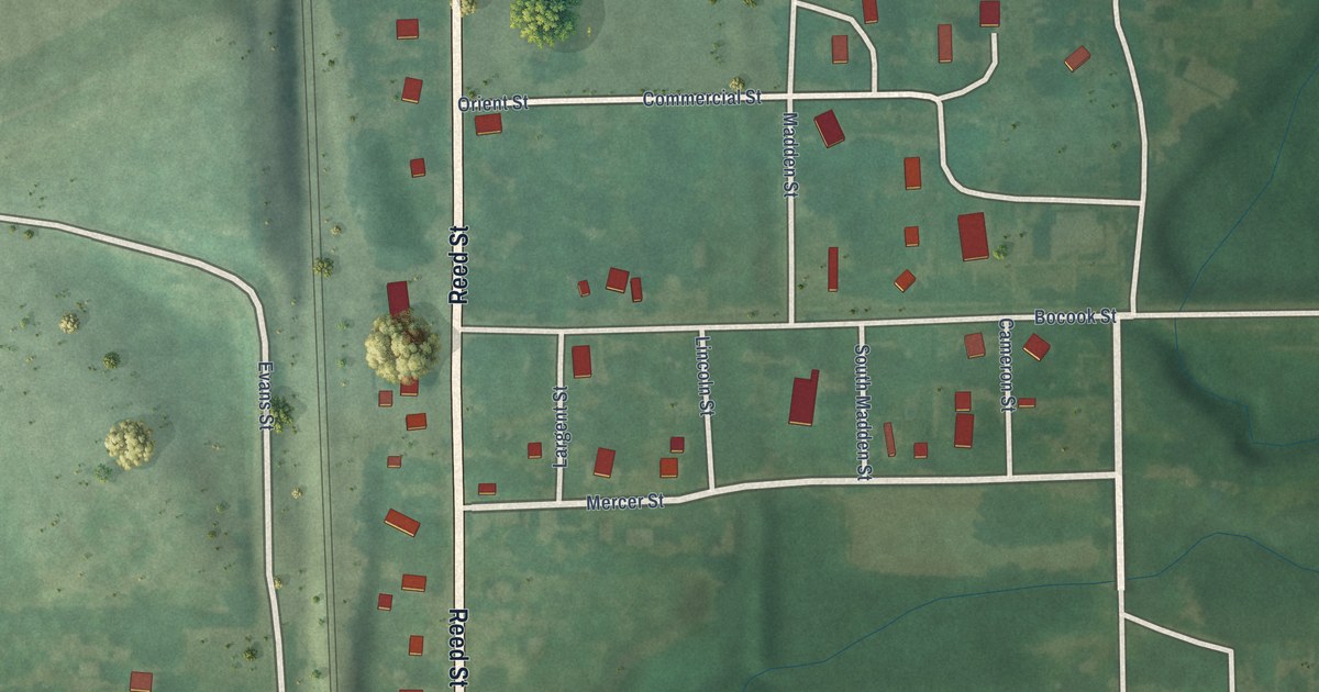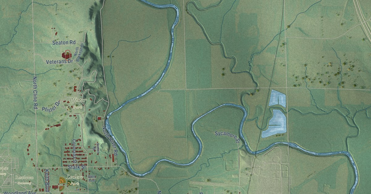
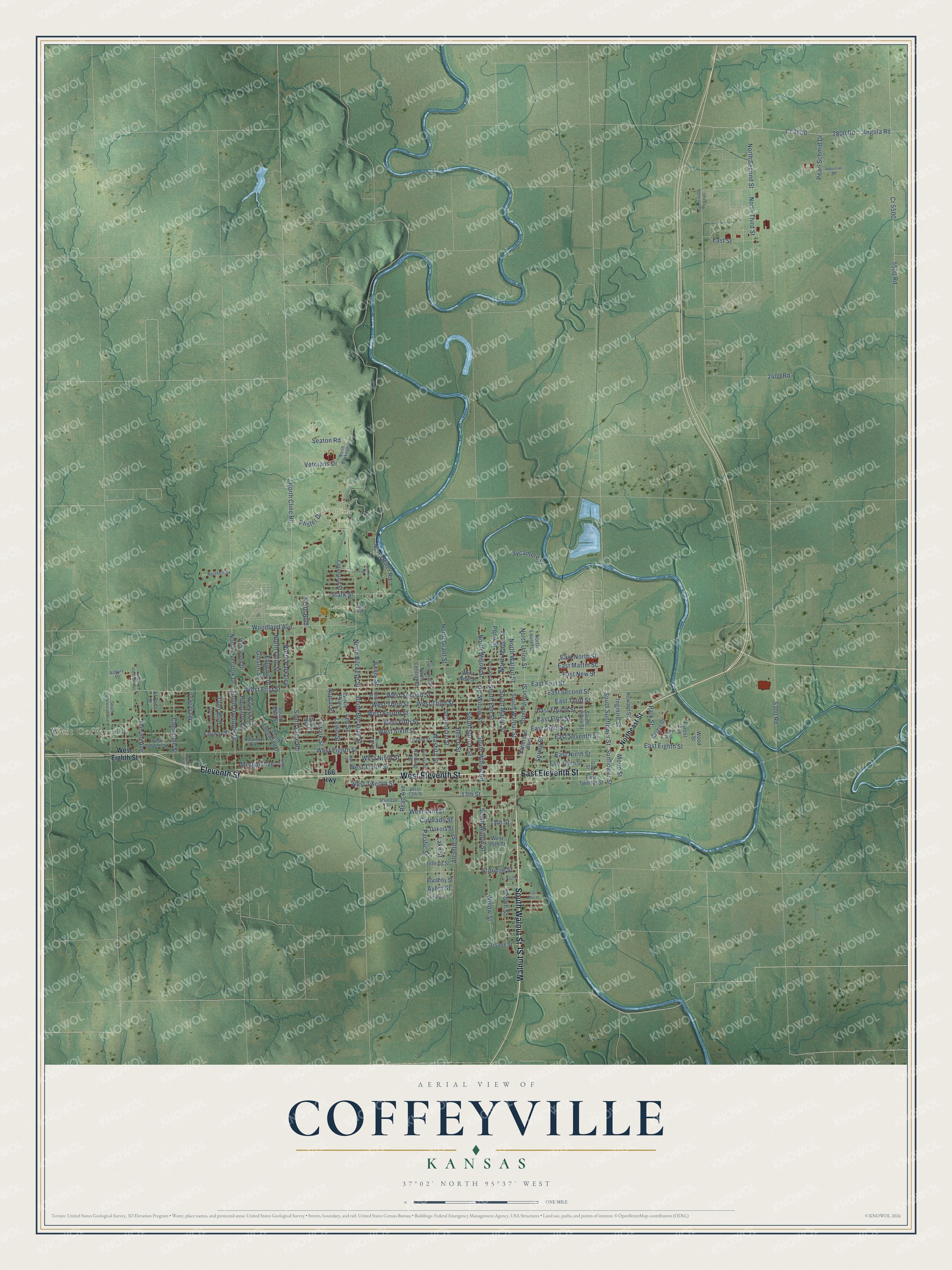
This beautifully detailed map of Coffeyville, Kansas was created in 2026 using aerial imagery combined with modern topographical, census, street and landmark data. It's a modern aerial view of Coffeyville in Montgomery County, Kansas, that combines modern data with a vintage aesthetic. The roads feature printed names, and if you look closely you can find your exact house accurately shown in its correct location.
Explore an aerial view of Coffeyville, Kansas
On this map you'll find West Coffeyville, Fairview Cemetery, Leclere Park, Pfister Park, Restlawn Cemetery, West Eleventh Street, South Walnut Street, Walnut Street, East Eleventh Street, Eleventh Street, West Eighth Street, East First Street, and more. Each red shape is a building, so zoom in on the preview and look for yours.
Every town has a first chapter, and Coffeyville is no exception. The record at kancoll.org puts it this way: "These places, however, gave way under the absorbing influence of a town founded by Col."
Coffeyville is a city in Montgomery County. The Census Bureau counted 8,826 people here in 2020.
Take a closer look at the Coffeyville map
Names on this map
These names are printed on this map.
Places: West Coffeyville, Fairview Cemetery, Leclere Park, Pfister Park and Restlawn Cemetery.
Streets and roads: West Eleventh Street, South Walnut Street, Walnut Street, East Eleventh Street, Eleventh Street, West Eighth Street, East First Street, East Eighth Street, West First Street, Stark Street, North Buckeye Street, South Buckeye Street.
More street names, A to Z
13th Street, 15th Street, 166 Highway, 2400 Road, 2800 Road, 5300 Road, 5500 Road, Angola Road, Asbury Drive, Atlantic Street, Ayers Street, Beech Street, Benton Road, Boothby Street, Boulder Street, Brown Street, Centennial Street, Cheyenne Street, Colorado Street, Coronada Street, Cr 2800, Cr 5500, Dakota Street, Davis Street, East Fifth Street, East Fourth Street, East John Street, East Martin Street, East New Street, East Ninth Street, East North Street, East Second Street, East Seventh Street, East Sixth Street, East Street, East Tenth Street, East Third Street, East Twelfth Street, Edgewood, Eldridge Street, Ellis Street, El Paso Street, Exner Street, Fairway Street, Forest Avenue, Fresno Avenue, Gibson Street, Glen Avenue, Glenwood Street, Gump Avenue, Hall Street, Harding Street, Hargis Drive, Hickman Street, Highland Road, Howard Street, Illinois Street, Industrial Road, Ingmire Street, Keith Boulevard, Lake Street, Lee Street, Lewark Street, Lewis Street, Lincoln Street, Michelle Lane, Moon Street, Morgan Avenue, Northbrook, North Buckeye Drive, North Central Street, North Cline Road, Northeast Street, North Elm Street, North Glendale Avenue, North Grant Street, North Laurel Street, North Maple Street, North Ohio Street, North Overlook Drive, North Parkview, North River Road, North Second Street, North Third Street, North Union Street, North Walnut Street, North Willow Street, Old US Highway 169, Old Willow Street, Osage Street, Pacific Street, Park Avenue, Park Street, Parkway Avenue, Patterson Boulevard, Paul Street, Pearl Schmid Drive, Penn Street, Pfister Drive, Poplar Place, Railroad Street, Read Avenue, Seaton Road, South Cline Road, South Edgewood Drive, South Ellis Street, South Elm Street, Southern Street, South Grant Street, South Inglewood Avenue, South Linden Street, South Maple Street, South Ohio Street, South Overlook Drive, South Spruce Street, South Sunflower Street, South Union Street, South Willow Road, South Willow Street, Spring Street, Sunflower Street, Sycamore Street, Trumbo Street, Tyler Boulevard, Veterans Drive, Warwick Road, Washita Street, West 13th Street, West 14th Street, West 16th Street, West Fifth Street, West Fourth Street, West New Street, West Ninth Street, West Second Street, West Seventh Street, West Sixth Street, West Tenth Street, West Third Street, West Twelfth Street, Westwood Drive, Wilkie Parkway, Willow Street, Woodland Avenue, Wood Street.
Created by KNOWOL in 2026. The buildings are small red shapes, the roads carry their printed names, and shaded relief shows the shape of the land. The title panel reads "AERIAL VIEW OF COFFEYVILLE KANSAS" with 37°02' NORTH 95°37' WEST.
Hang it in the hallway, the office or the cabin, or give it to someone who left Coffeyville and still calls it home. Open the preview and look for a street you know. See sizes and frames for the Coffeyville map.