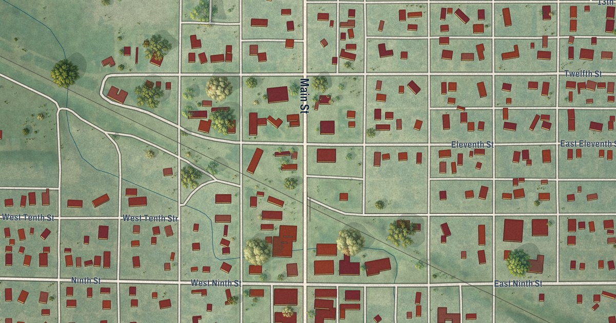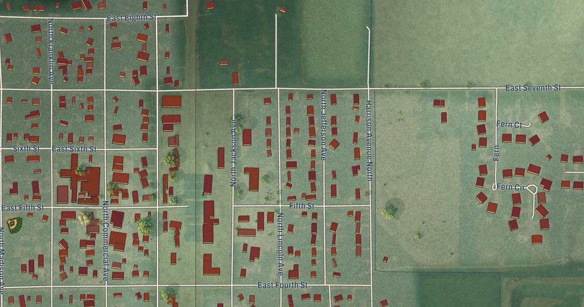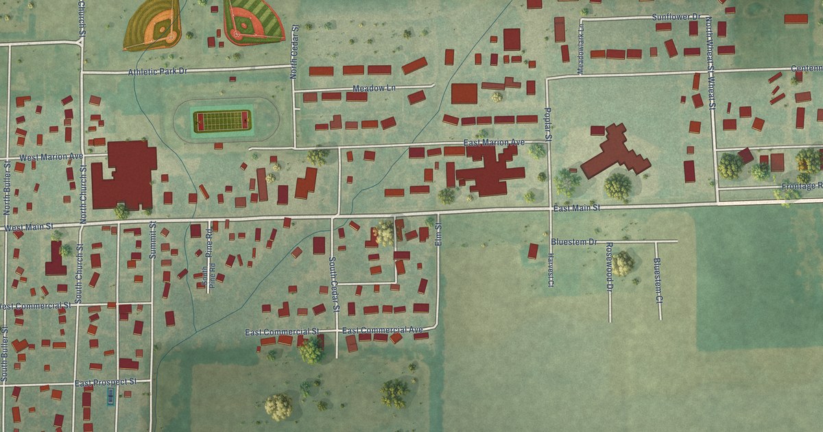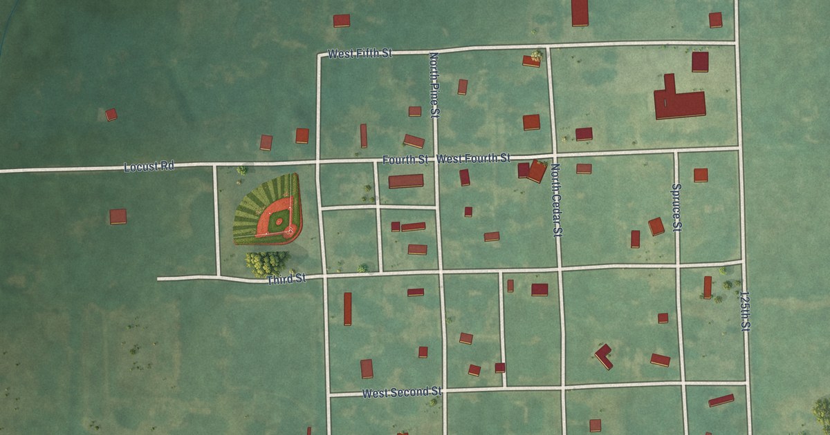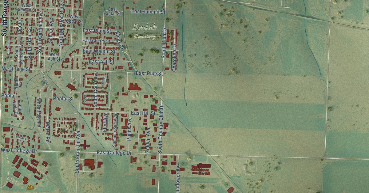
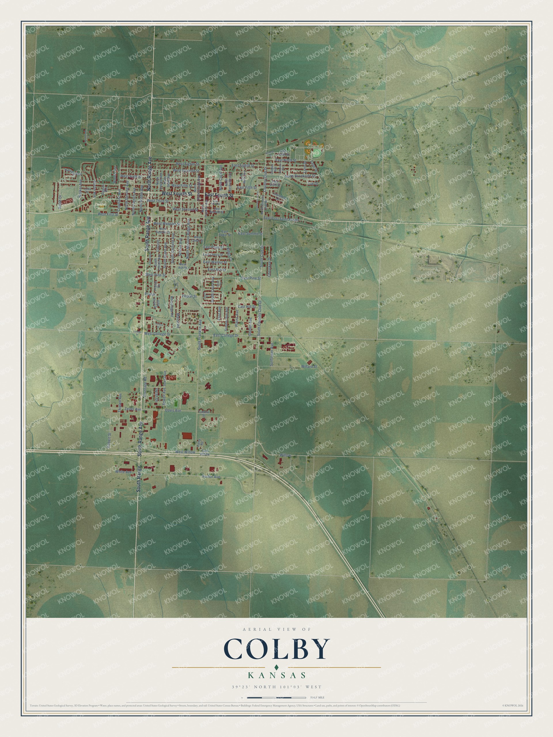
This beautifully detailed map of Colby, Kansas was created in 2026 using aerial imagery combined with modern topographical, census, street and landmark data. It's a modern aerial view of Colby in Thomas County, Kansas, that combines modern data with a vintage aesthetic. The roads feature printed names, and if you look closely you can find your exact house accurately shown in its correct location.
Explore an aerial view of Colby, Kansas
On this map you'll find Beulah Cemetery, Young Park, Dennen Field, Fike Park, South Range Avenue, North Range Avenue, West Fourth Street, East Fourth Street, South Range, South Garfield Avenue, South Club Drive, South Country Club Drive, and more. Each red shape is a building, so zoom in on the preview and look for yours.
Colby has a story worth telling. The Kansas State Teachers College puts it this way: "Colby was named for J. R. Colby, an early settler in Thomas County. He had established the first post office three miles south of the present site of Colby."
Colby is a city in Thomas County. The Census Bureau counted 5,570 people here in 2020.
Take a closer look at the Colby map
Names on this map
These names are printed on this map.
Places: Beulah Cemetery, Young Park, Dennen Field and Fike Park.
Streets and roads: South Range Avenue, North Range Avenue, West Fourth Street, East Fourth Street, South Range, South Garfield Avenue, South Club Drive, South Country Club Drive, Country Club Drive, West College Drive, Willow, East College Drive.
More street names, A to Z
Austin Avenue, Camp Road, Cherokee Drive, Cleveland, College Street, Cooper Avenue, Copeland Avenue, Court Place, Court Terrace, Davis Avenue, Donelan Avenue, Dylan Drive, East Ash Street, East Cedar Street, East Cherry Street, East Eighth Street, East Fifth Street, East First Saint Annex, East Hill Street, East Ninth Street, East Pine Street, East Plum Street, East Second Street, East Sixth Street, East Summit Street, East Tenth Street, East Third Street, East Walnut Street, East Willow, Eco Acres Drive, Flint Avenue, Frontage Road, Golden Avenue, Harvey Avenue, Horton Avenue, Kings Court, La Hacienda Drive, Lane Drive, Lawrence Drive, Lincoln, Lue Drive, Lynda Street, Lynn Drive, Maize Road, North Brookside Drive, North Chickamauga Avenue, North Country Club Drive, North Court Avenue, North Franklin Avenue, North French Avenue, North Grant Avenue, North Lincoln Avenue, North Martin Avenue, North Mission Ridge Avenue, North Nashville Avenue, North Riddle Avenue, North Sherman Avenue, North Sterling Avenue, Plains Avenue, Poplar, Poplar Street, Prairie Vw, Railroad Drive, School Avenue, Scwell Avenue, Sewell Avenue, Siebert Street, Siggins Avenue, Smith Drive, South Court Avenue, South Franklin Avenue, South Grant Avenue, South Lincoln Avenue, Summer Sun Avenue, Sunflower Avenue, Tammie Street, Terrace Drive, Thielen Avenue, Villa Vista Drive, Walker Avenue, West Ash Street, West Cedar Street, West Eighth Street, West Fifth Street, West First Street, West Pine Street, West Second Street, West Seventh Street, West Sixth Street, West Summit Street, West Third Street, West Webster Street, West Willow, Wheatridge Road, White Avenue, Willard Street, Woofter Avenue, Zelfer Avenue.
Created by KNOWOL in 2026. The buildings are small red shapes, the roads carry their printed names, and shaded relief shows the shape of the land. The title panel reads "AERIAL VIEW OF COLBY KANSAS" with 39°23' NORTH 101°03' WEST.
It looks right in a kitchen, an office or a den, and it's a gift for anyone who grew up in Colby or moved away. Open the preview and find your street. See sizes and frames for the Colby map.